
Topography Is Fate
North African battlefields of World War II
FOREWORD | HILARY ROBERTS
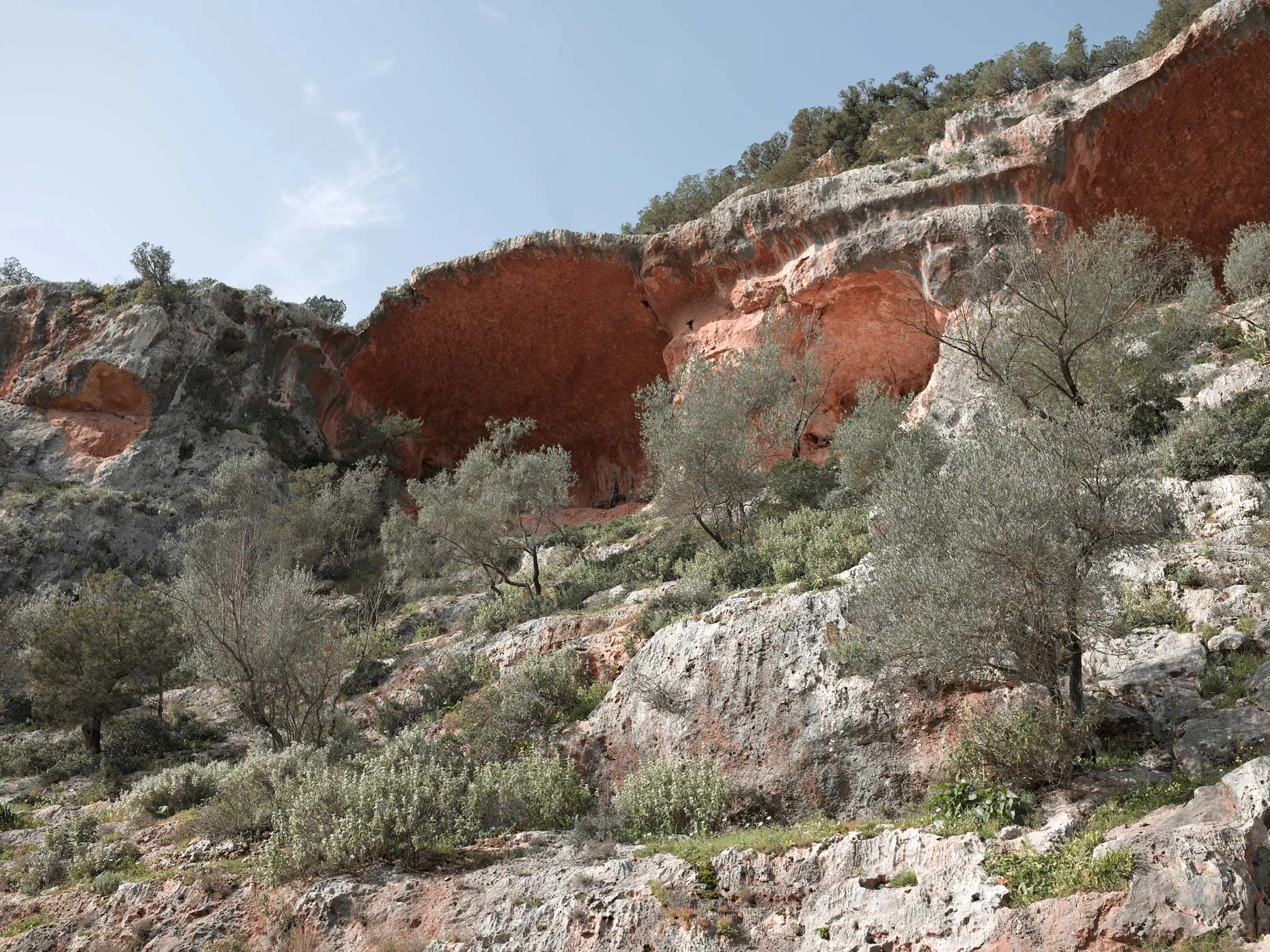
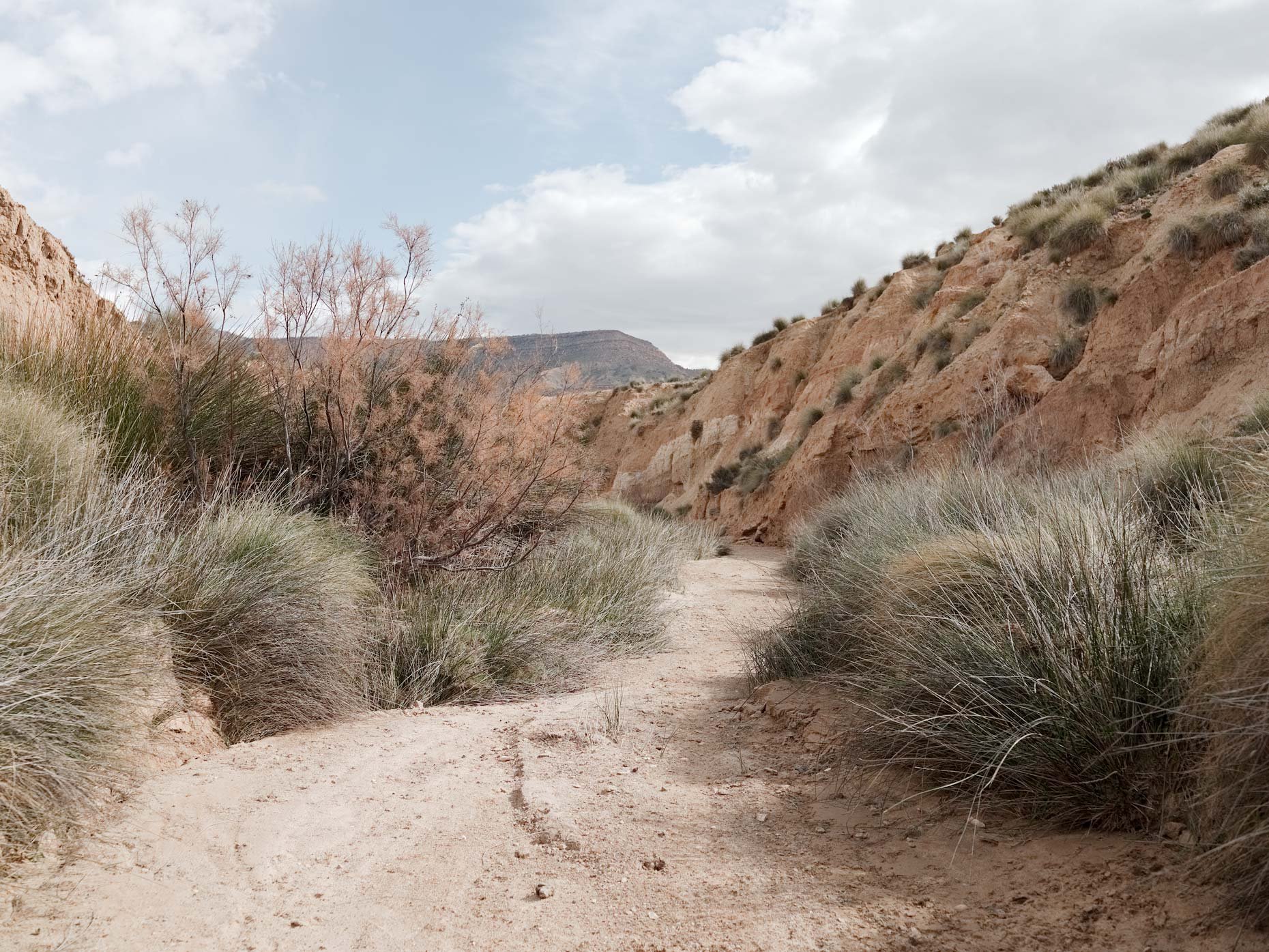
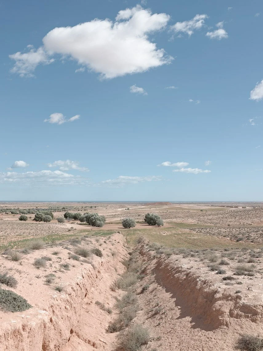
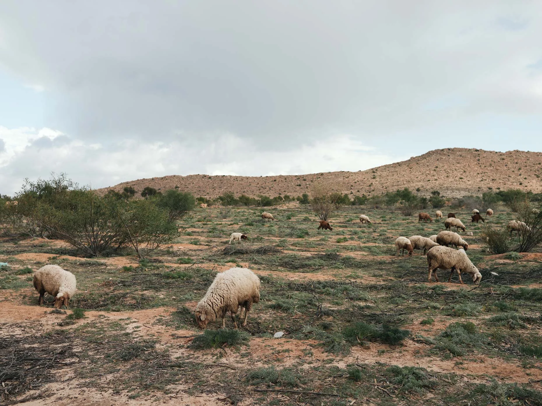
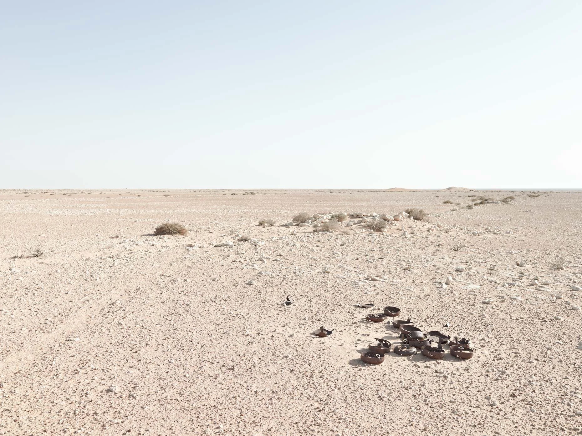
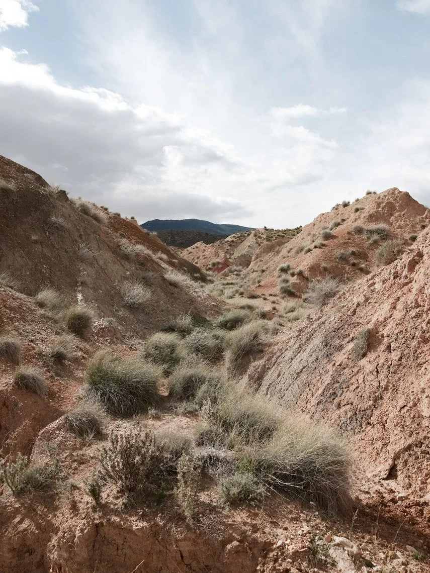
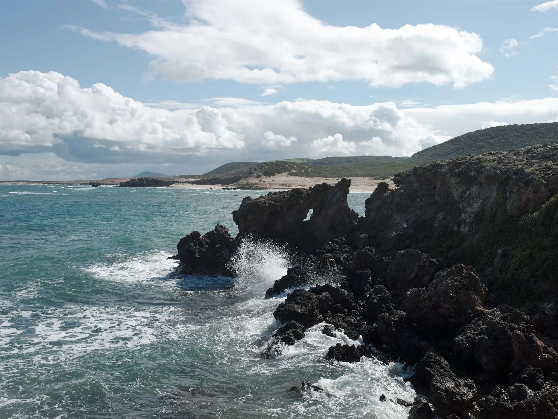
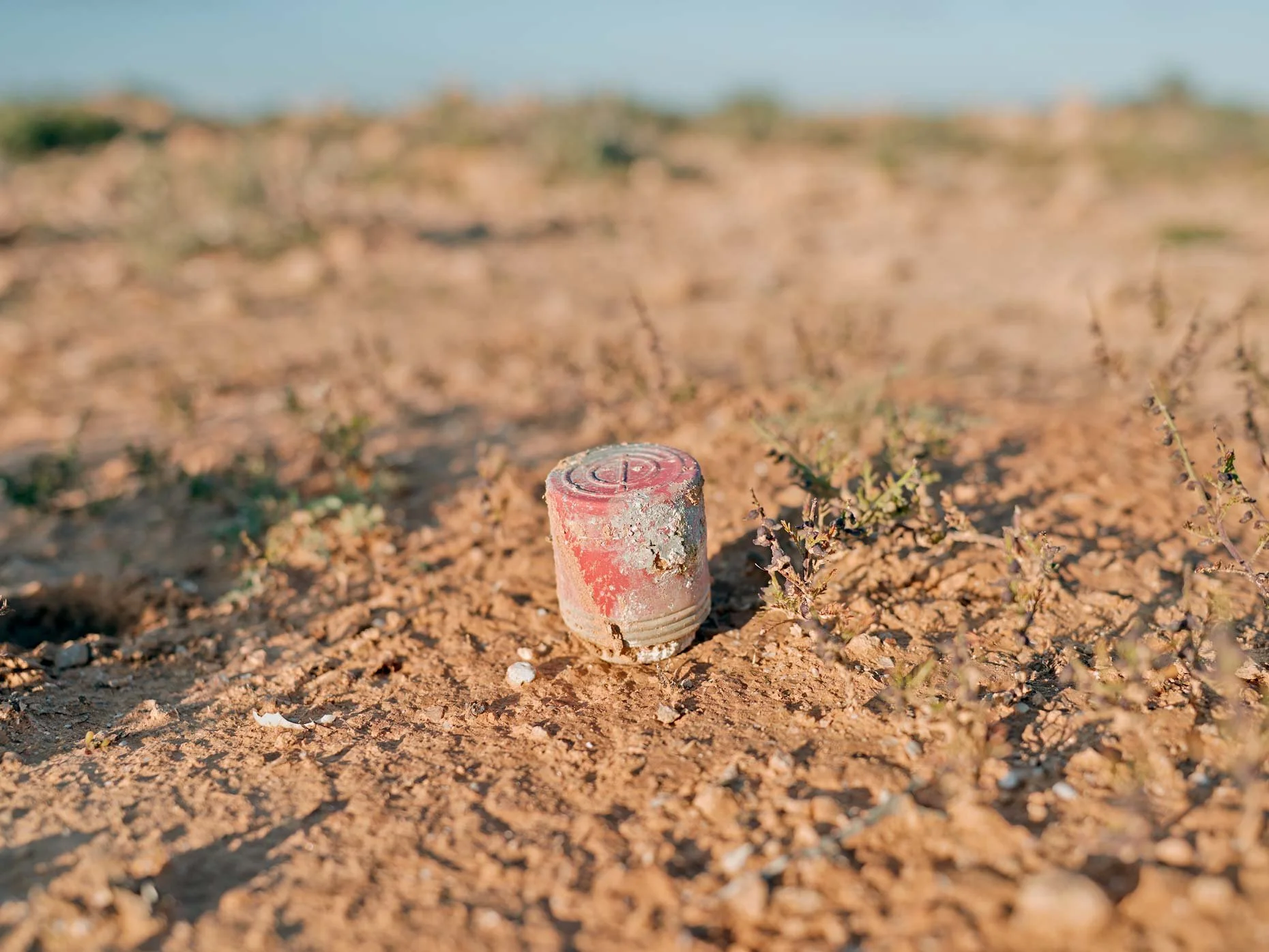
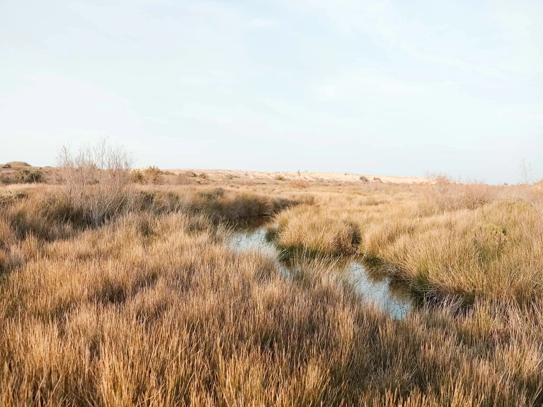
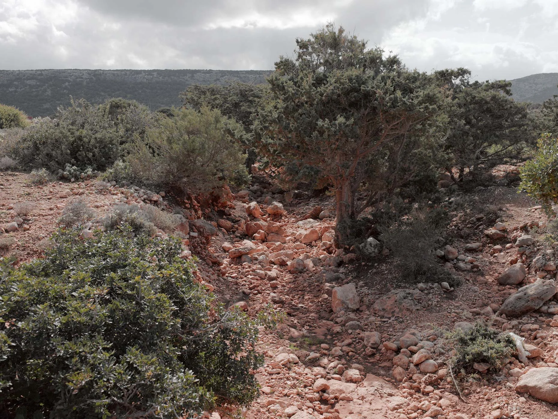
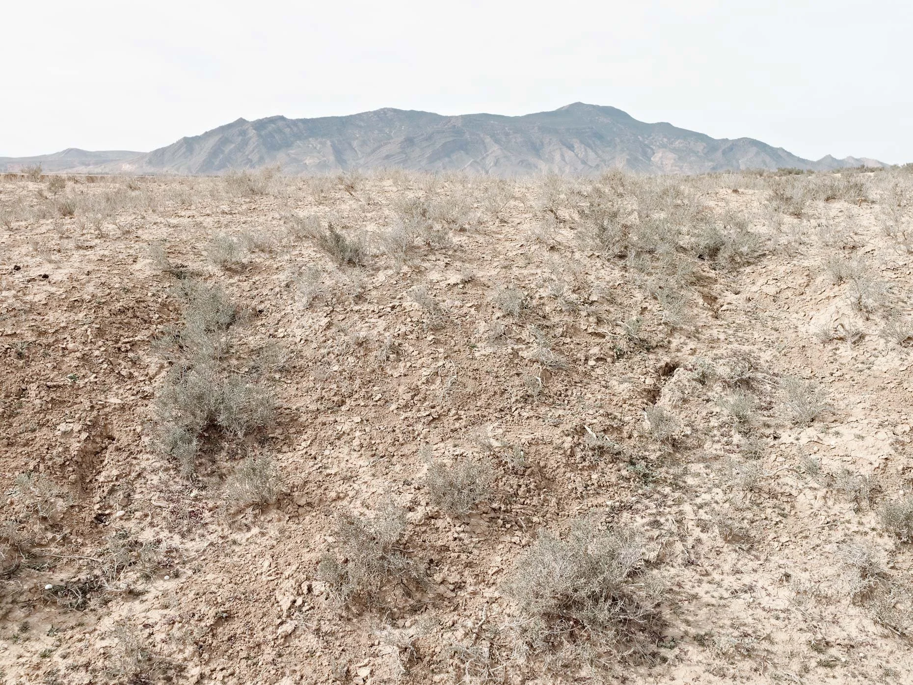
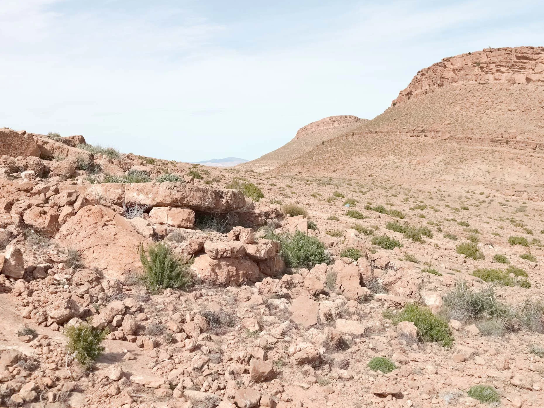
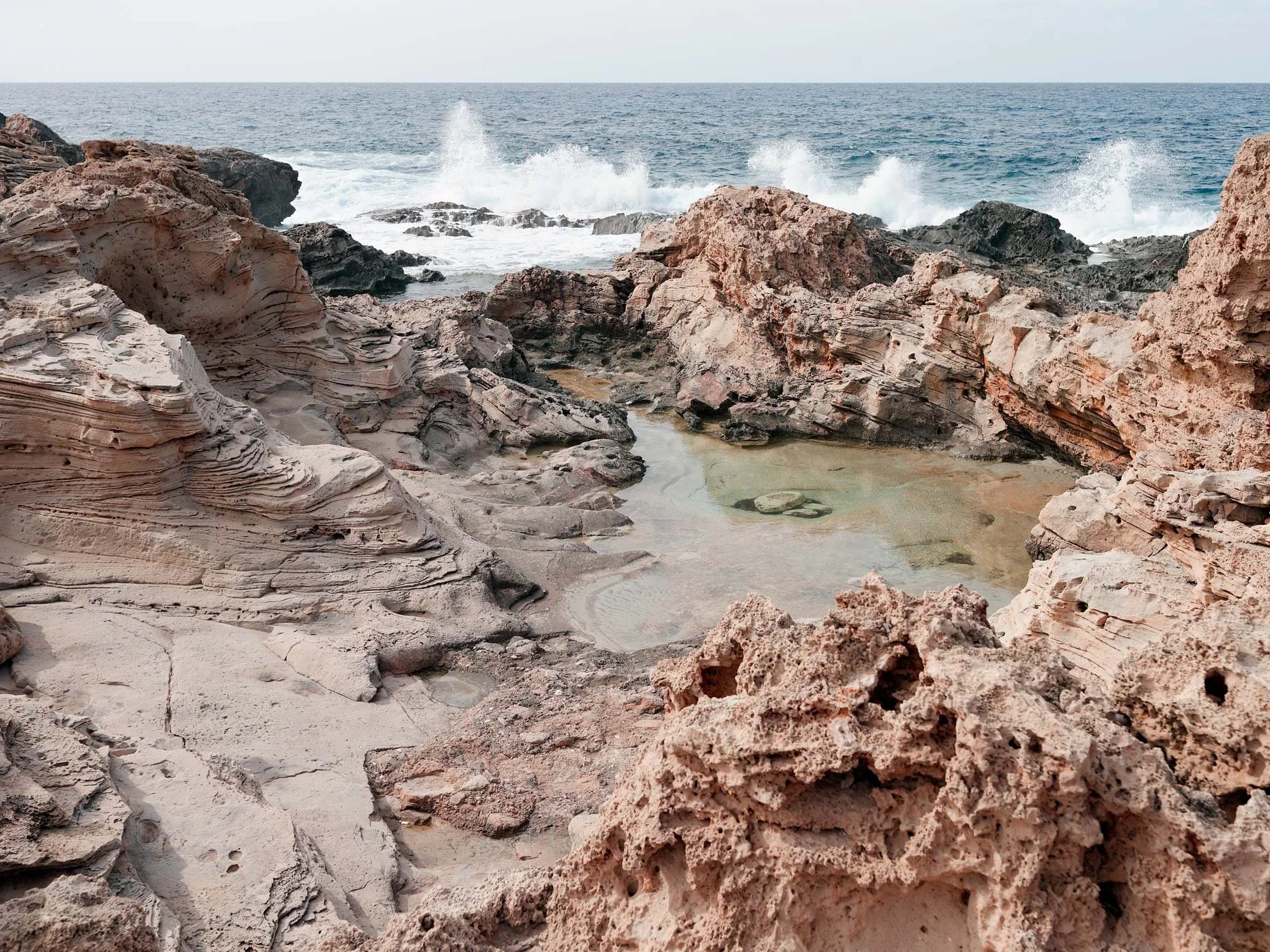
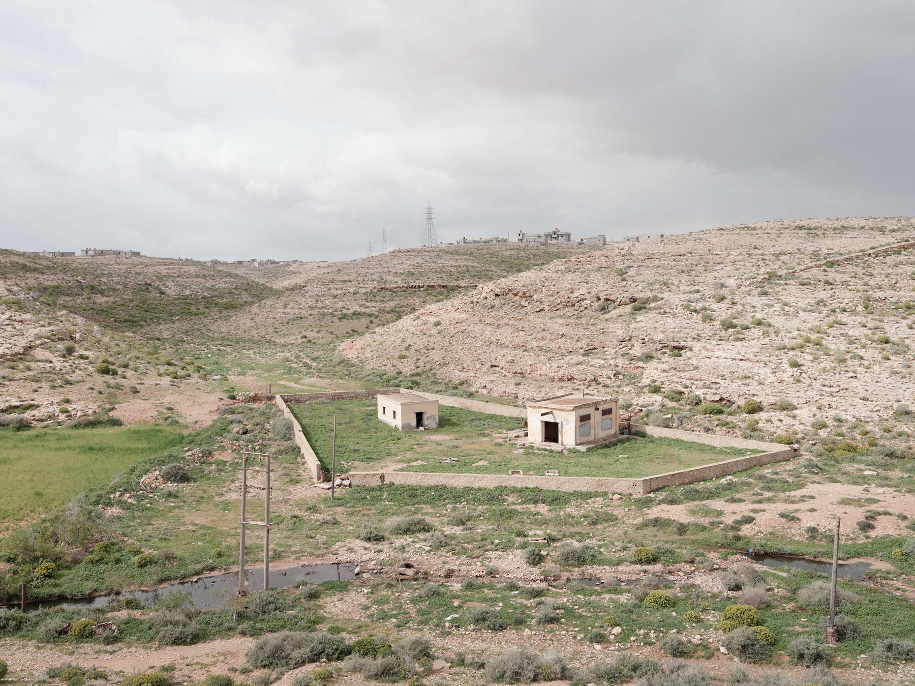
Topography Is Fate examines the various landscapes of North Africa that the Allied soldier of World War II endured. Thousands of miles from home, largely untraveled and ignorant of lands and peoples outside his home country, he was dropped onto the shores of what must have seemed a dangerous and alien environment, with his understanding of the land limited to stereotype, myth, and the relevant army field manual.
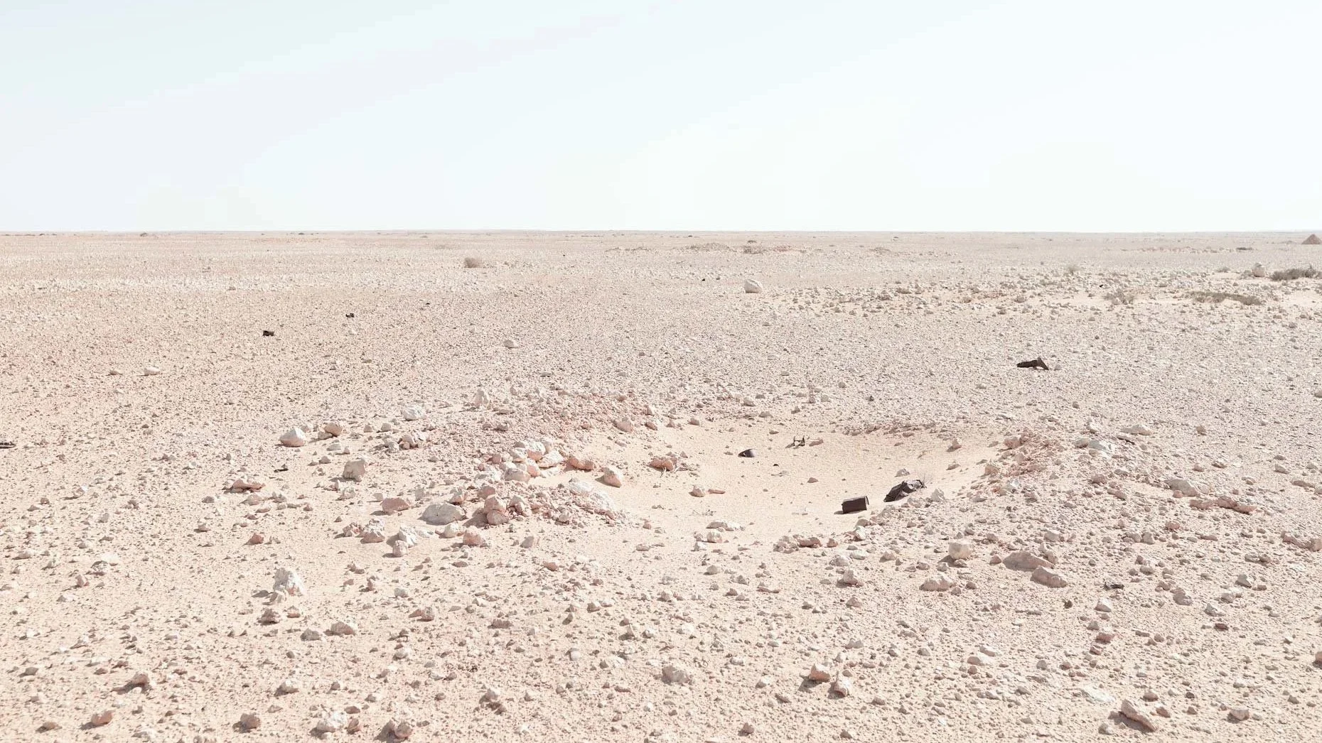
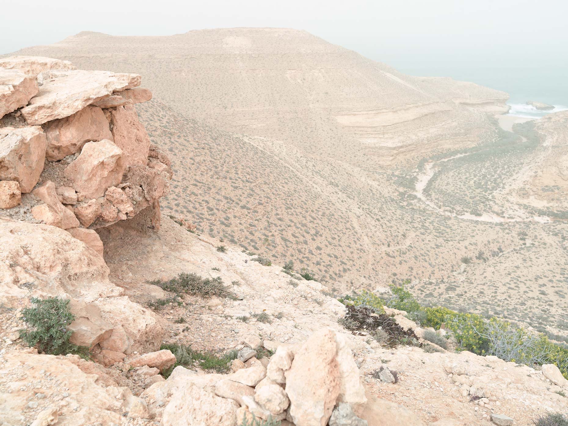
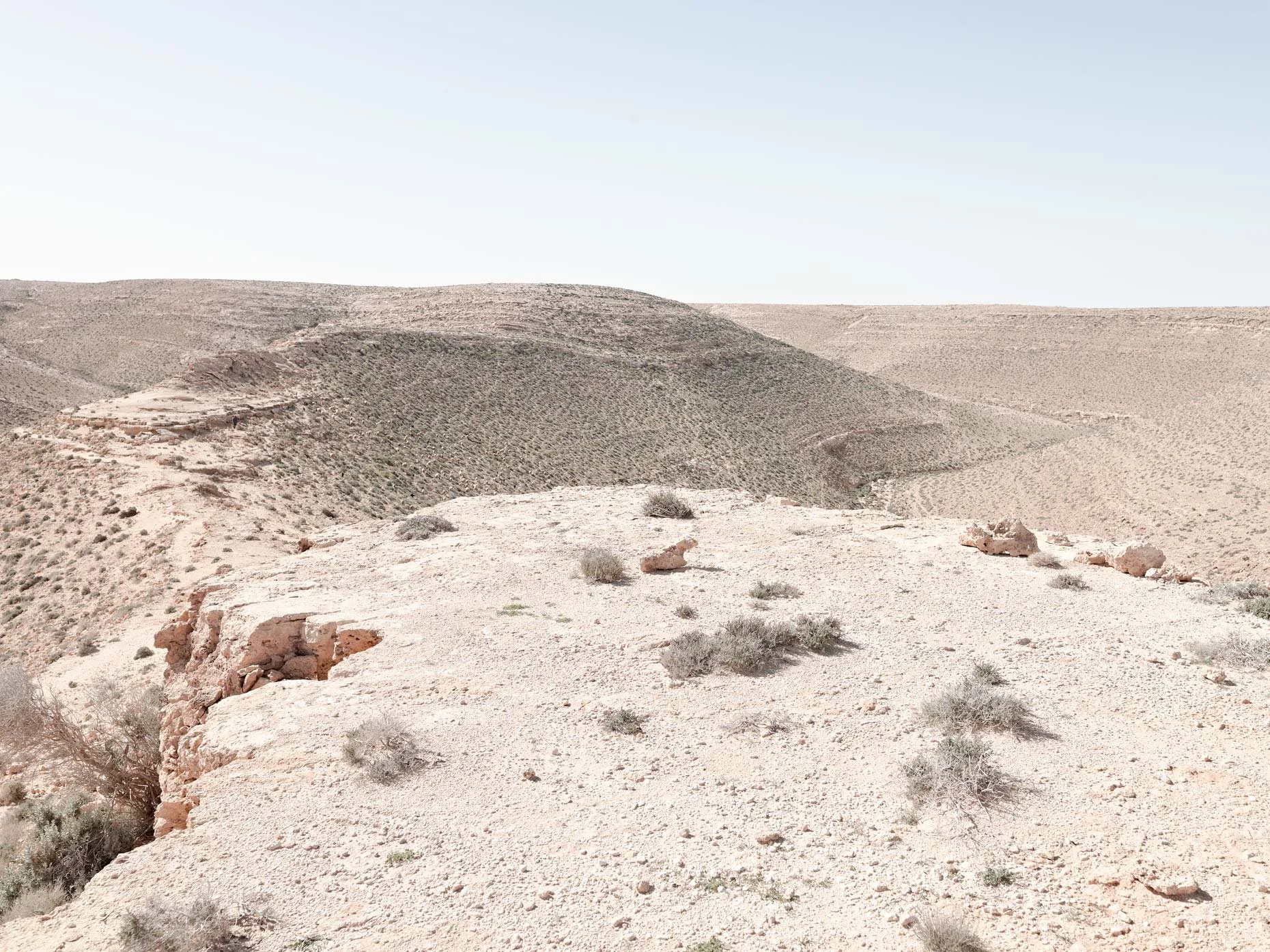
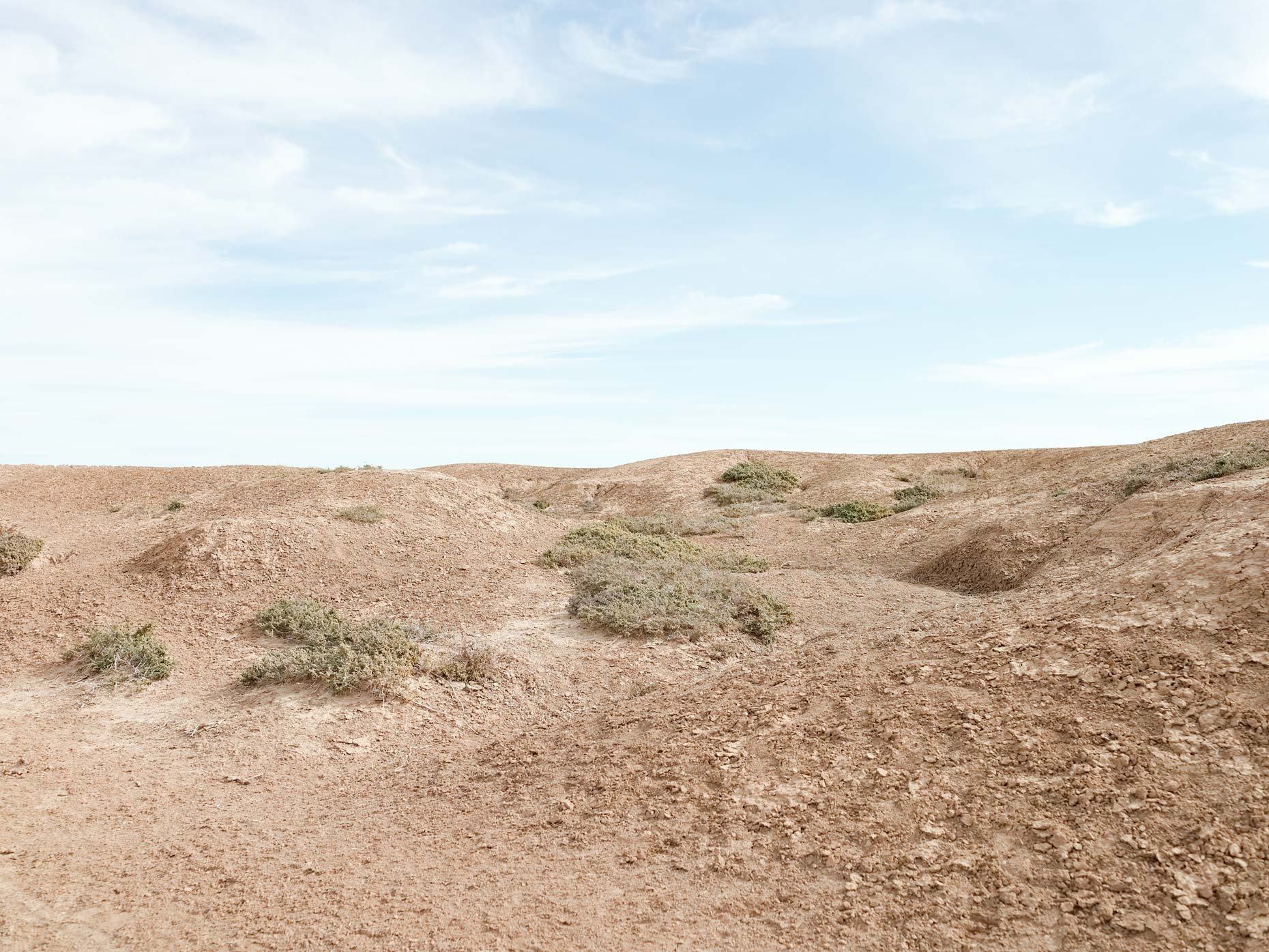
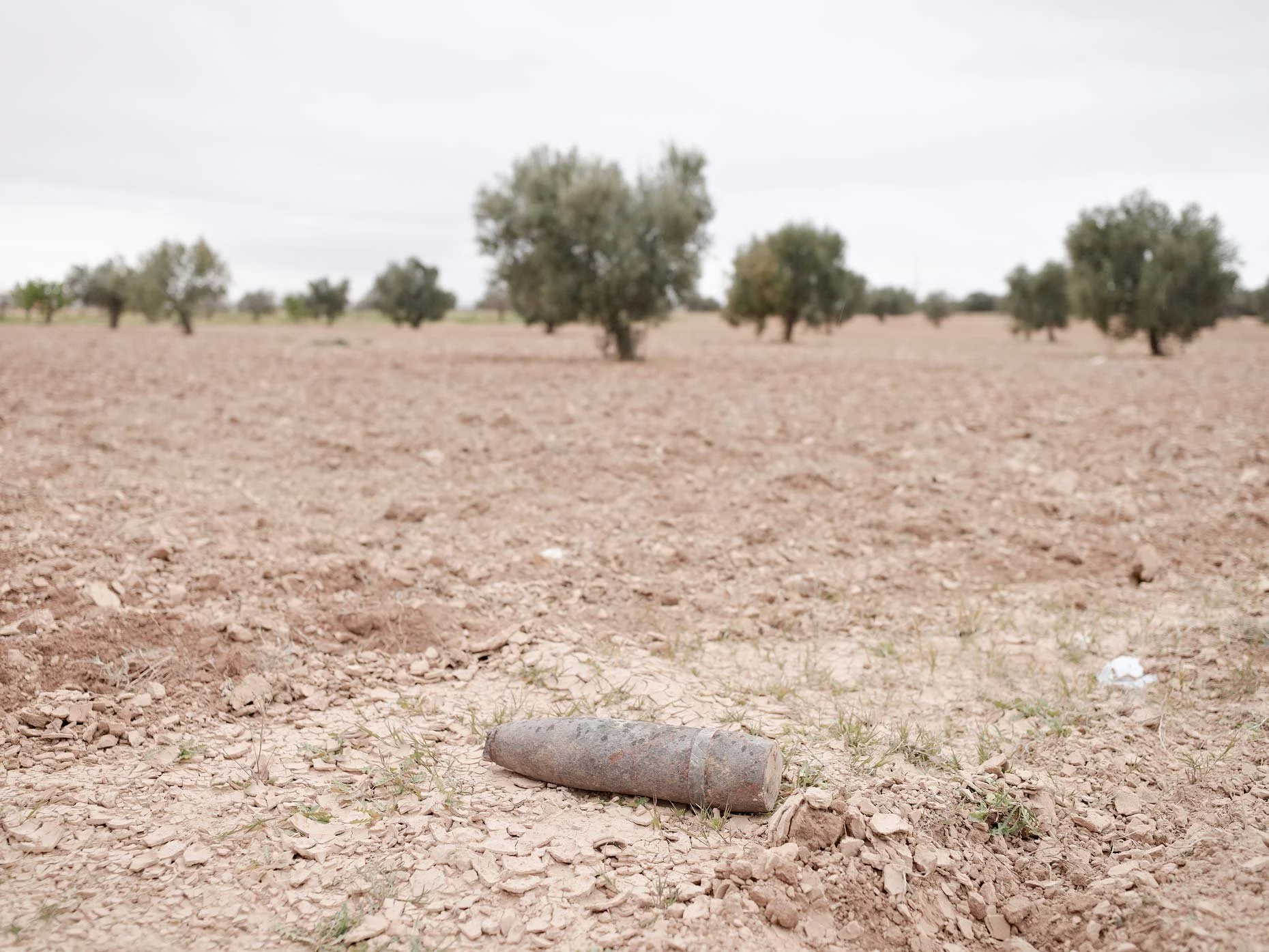
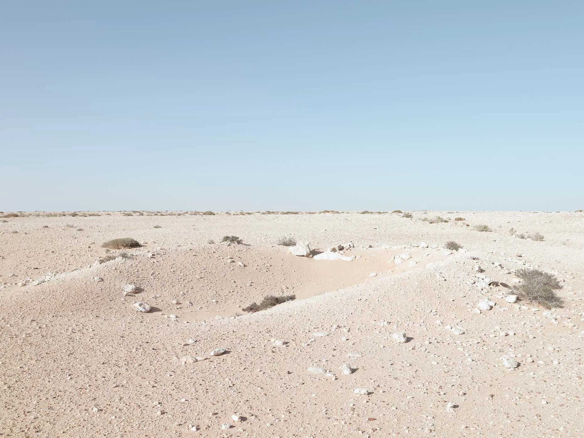
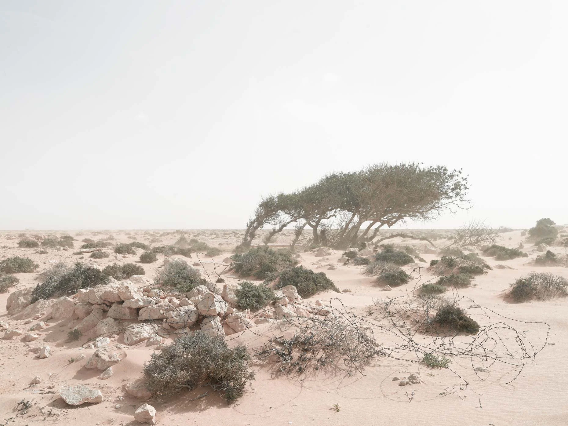
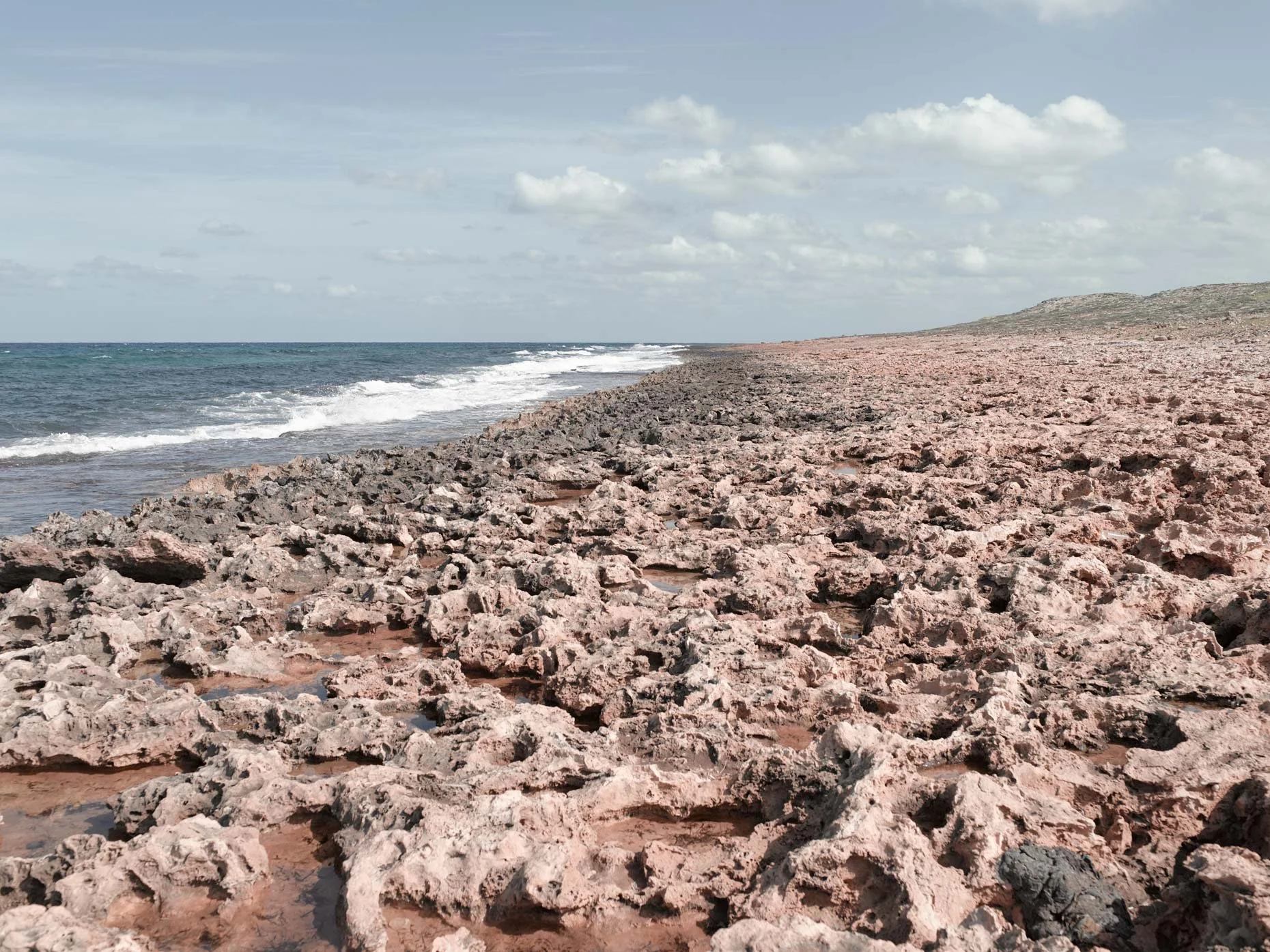
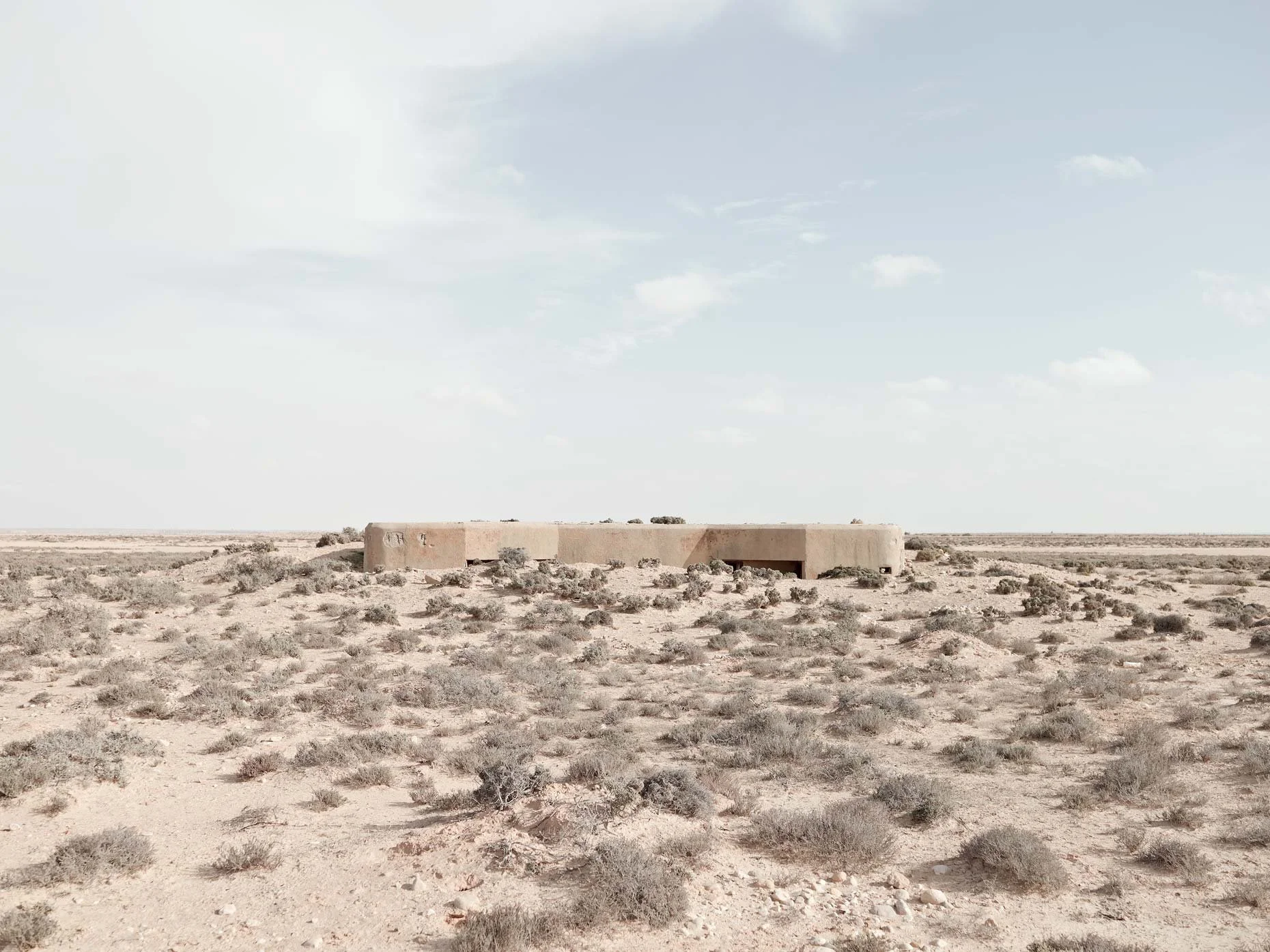
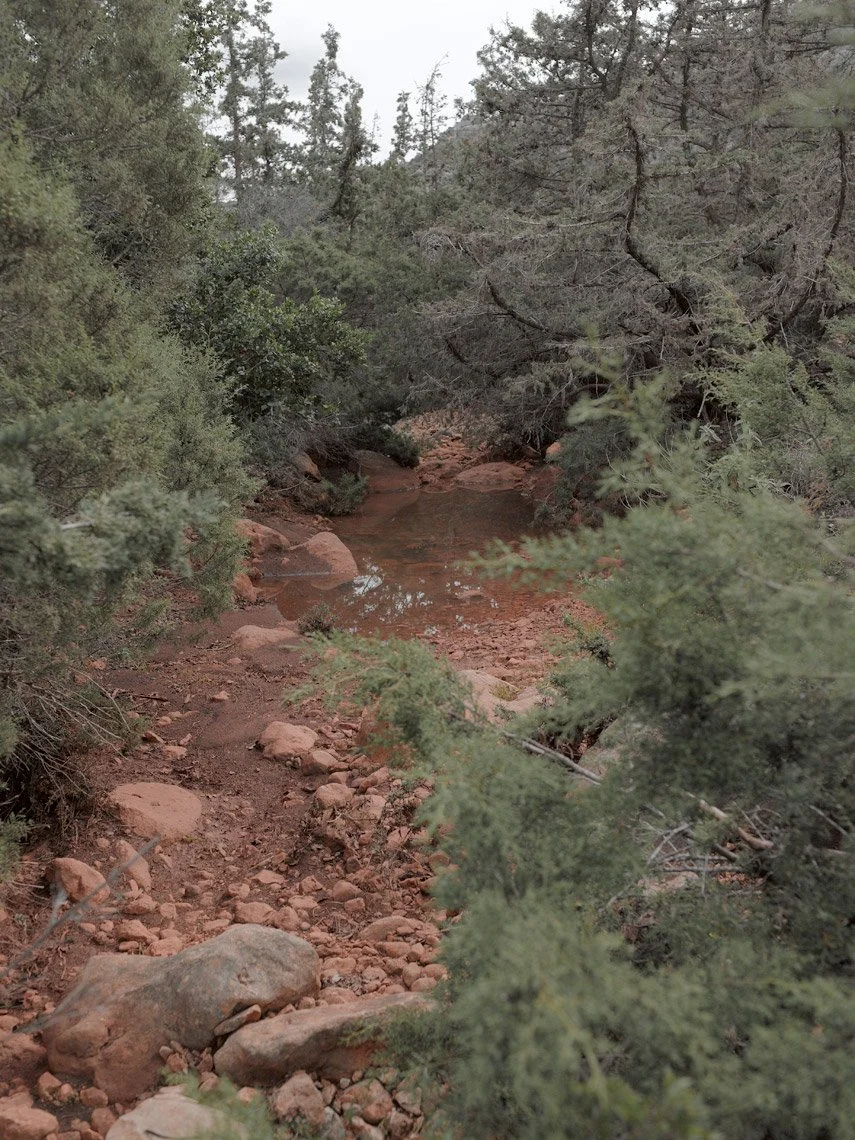
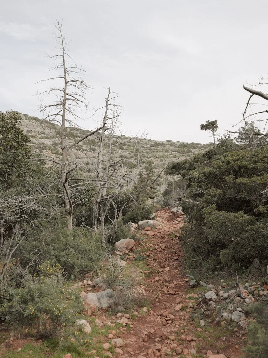
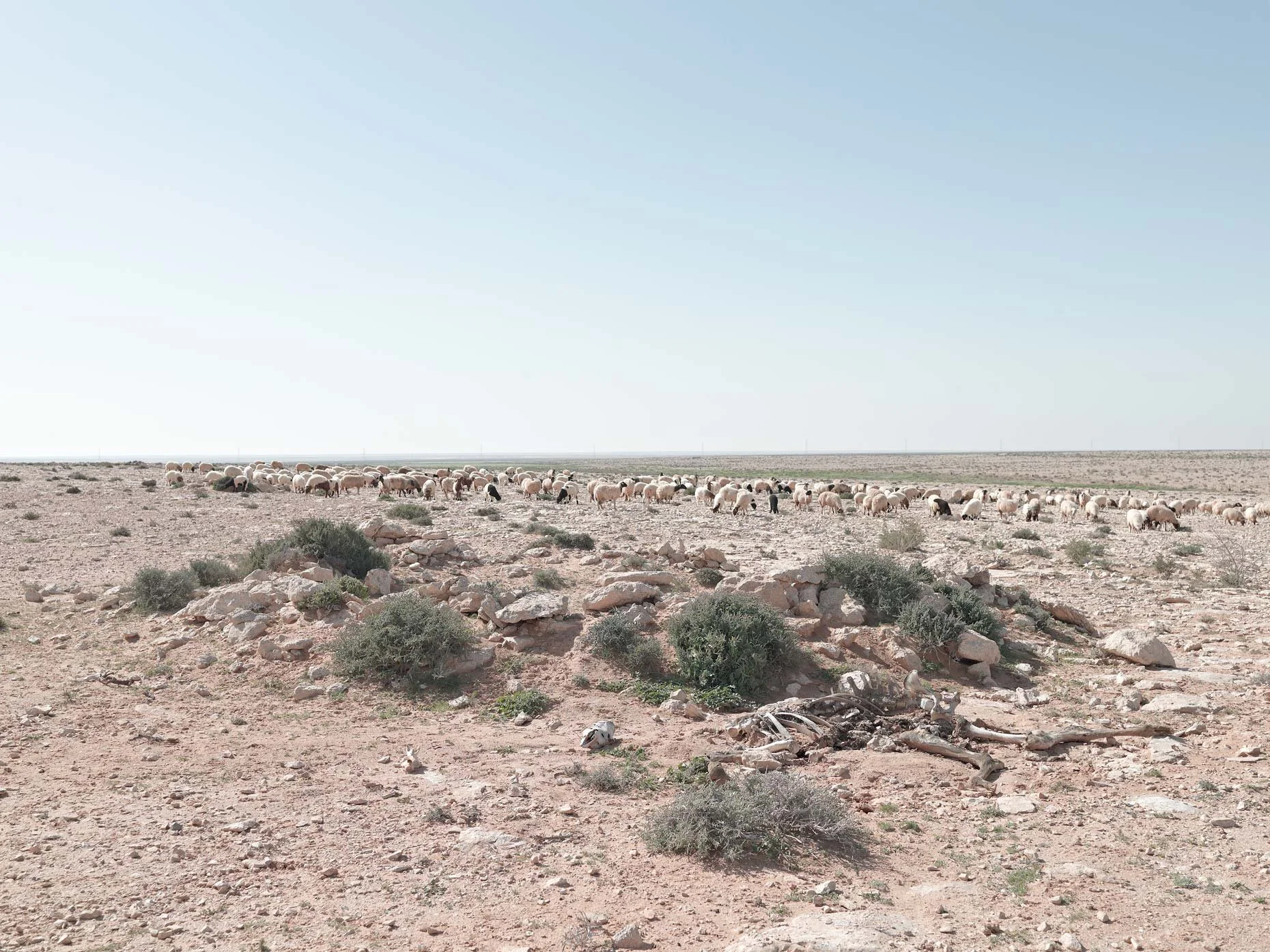
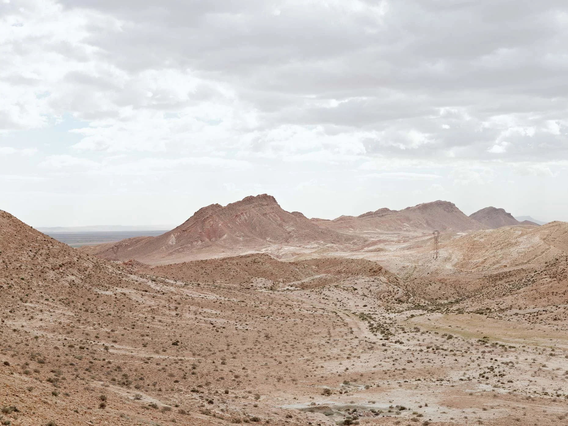
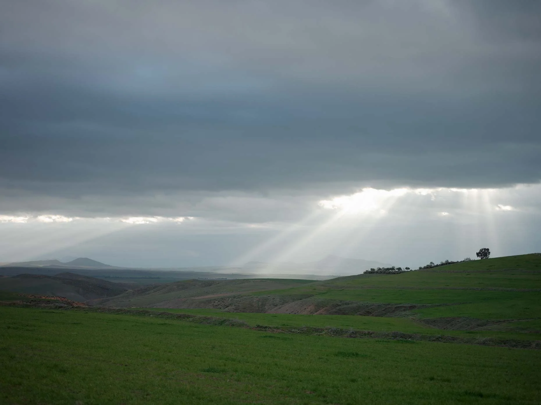
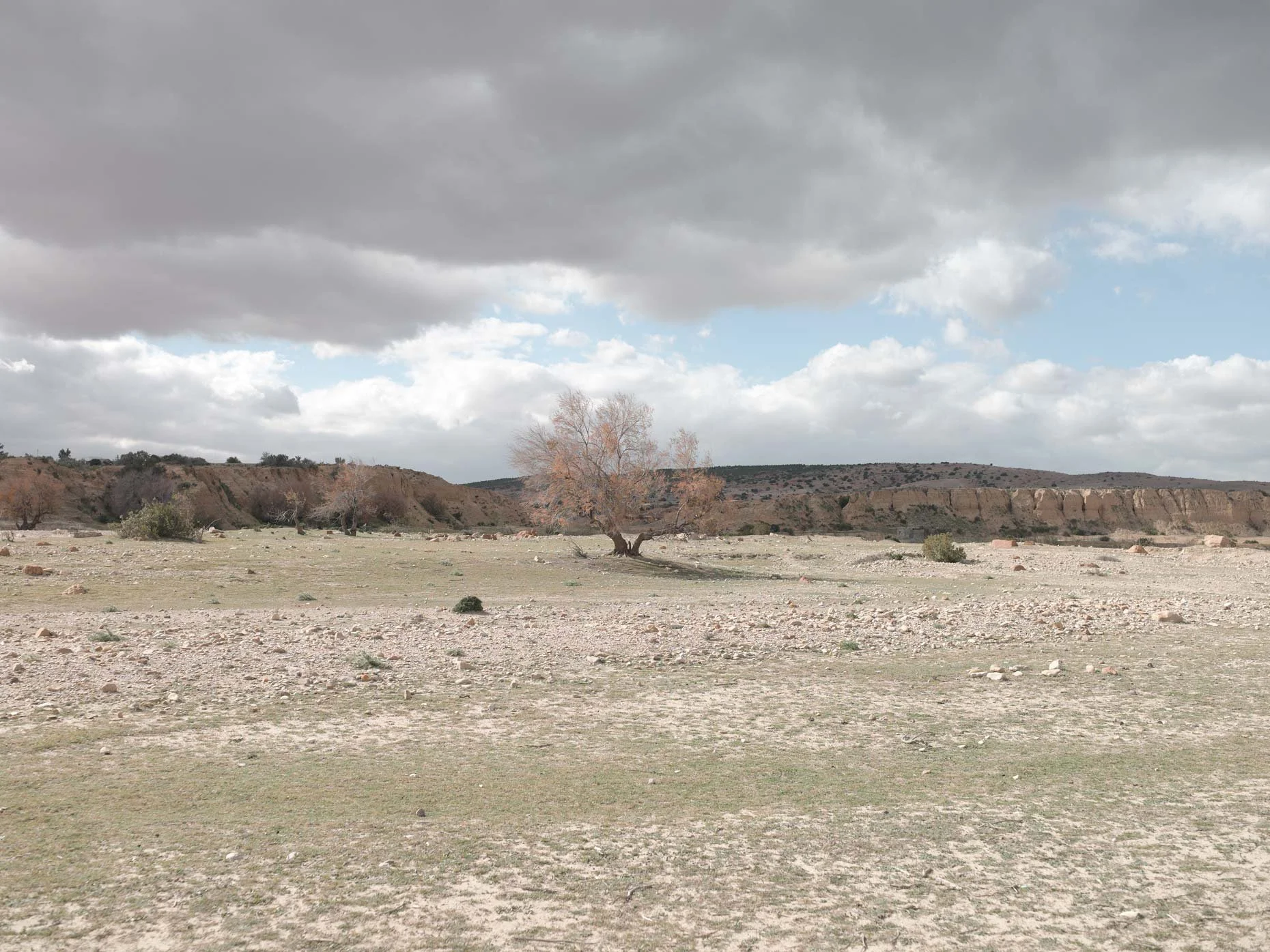
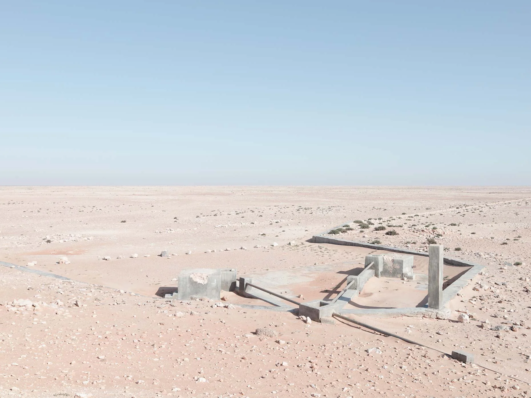
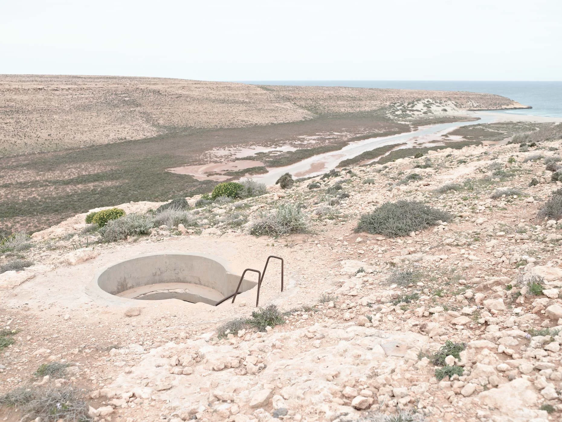
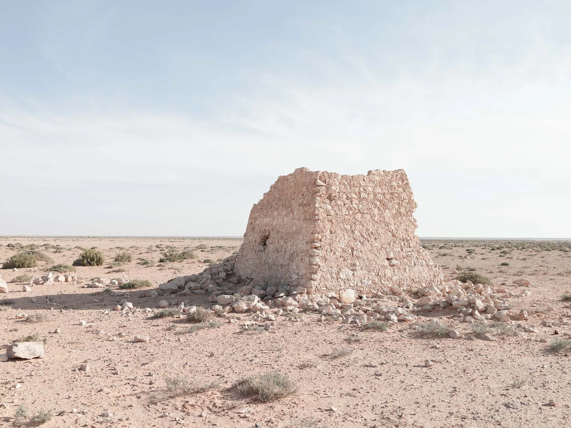
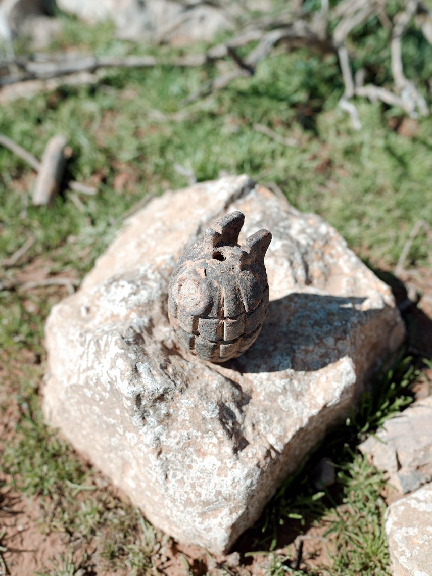
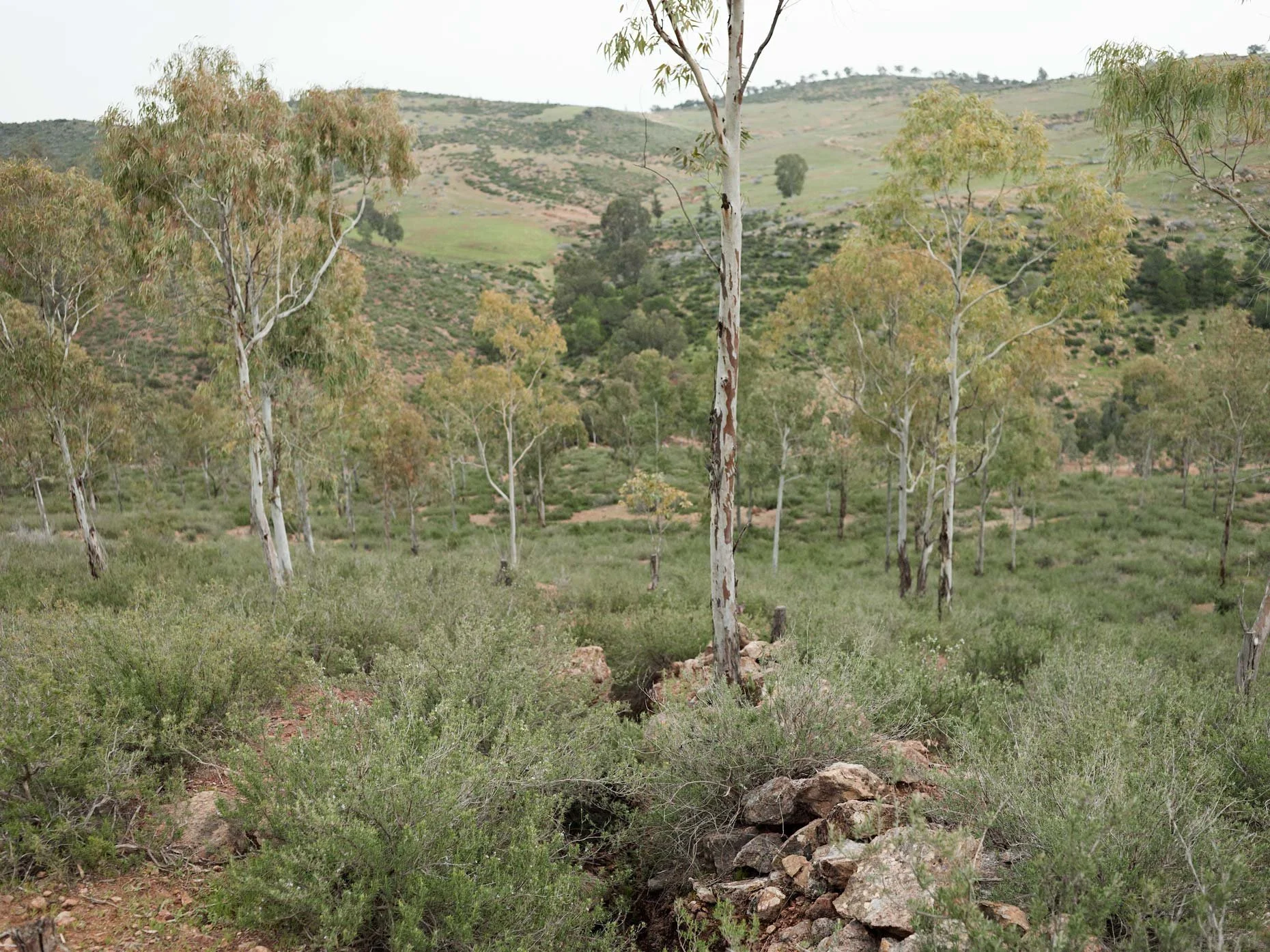
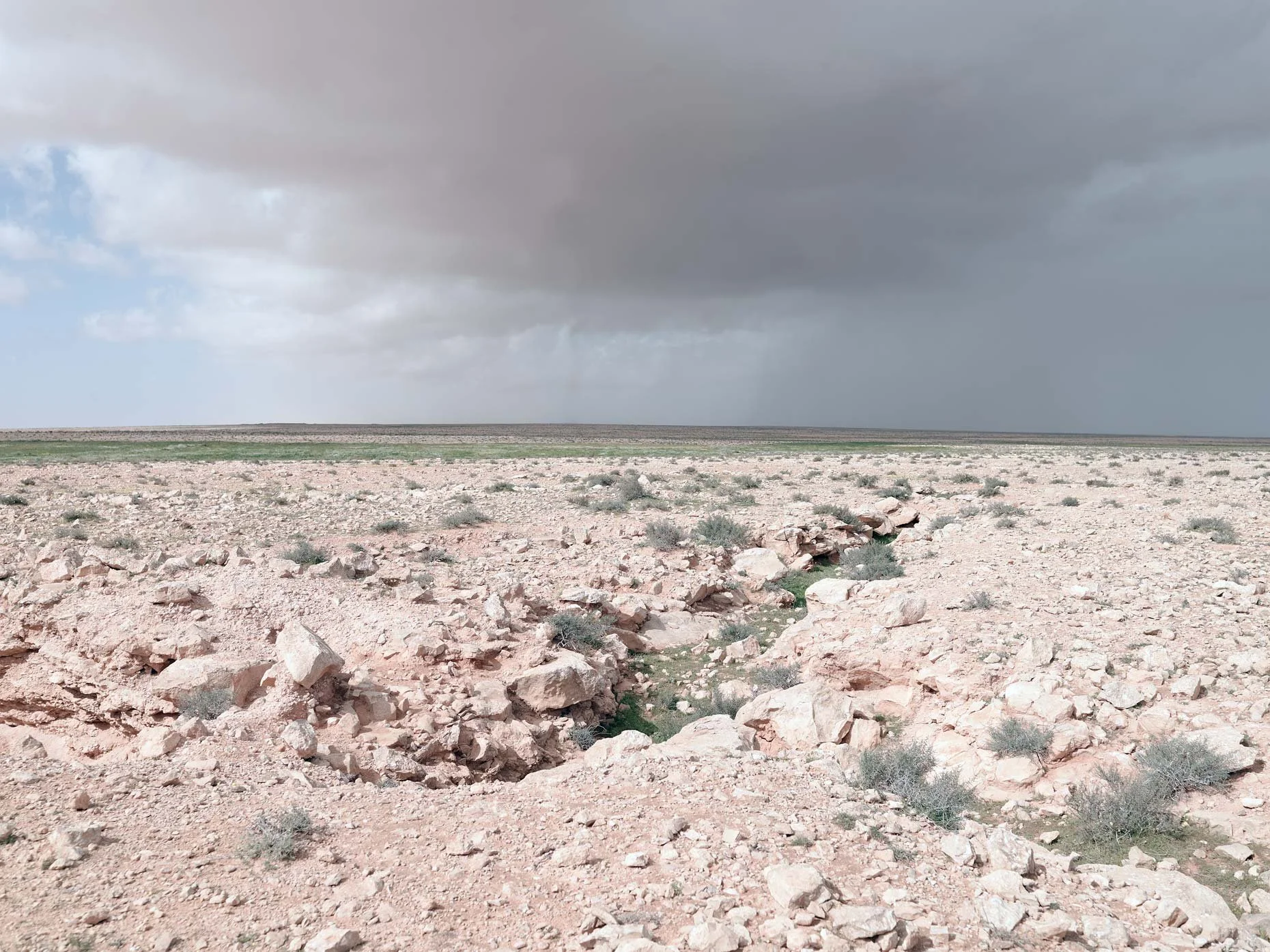
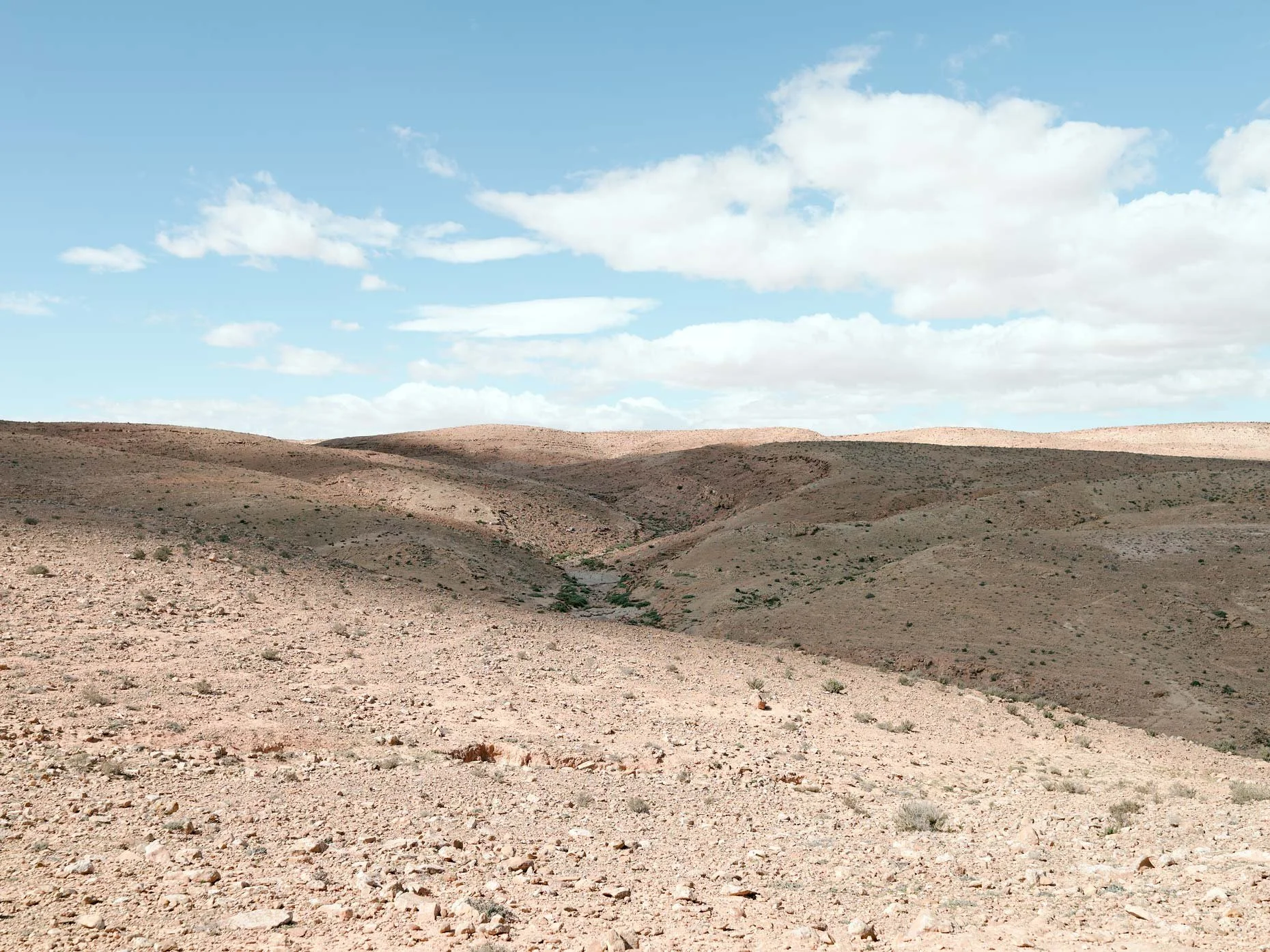
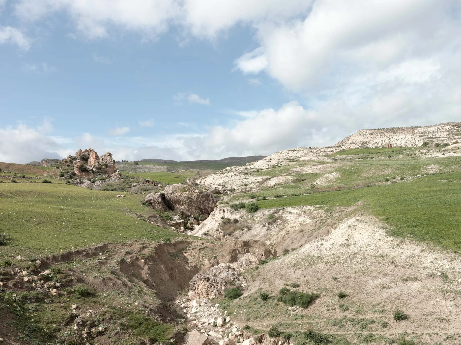
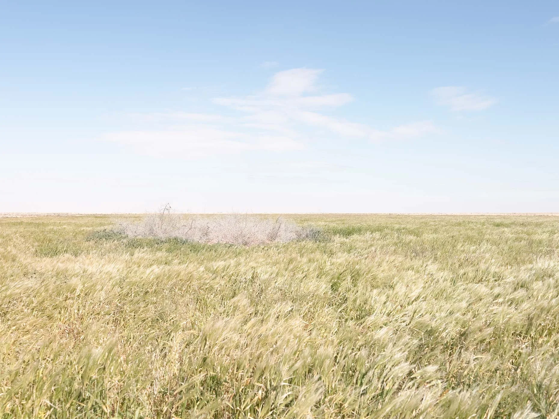
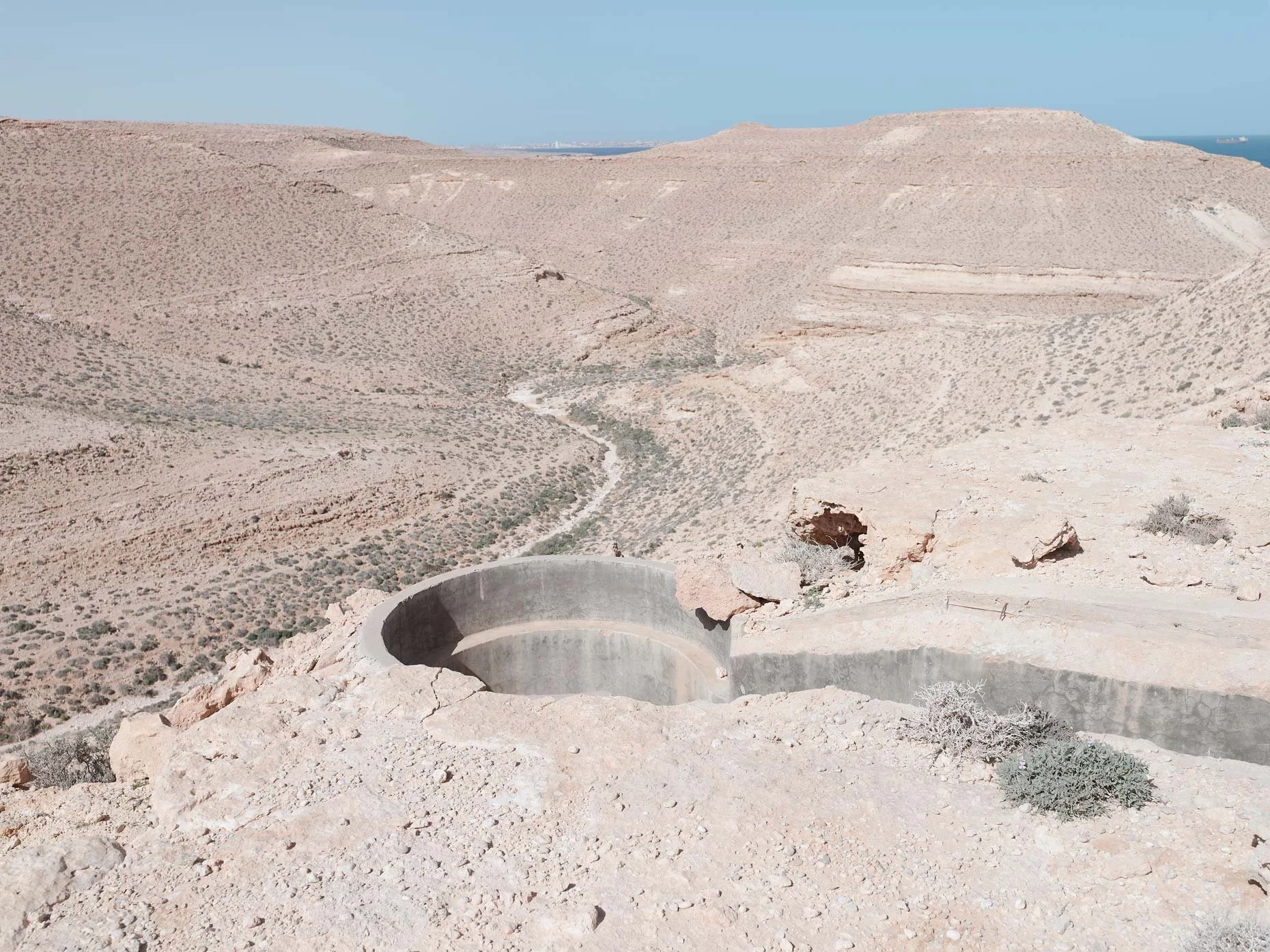
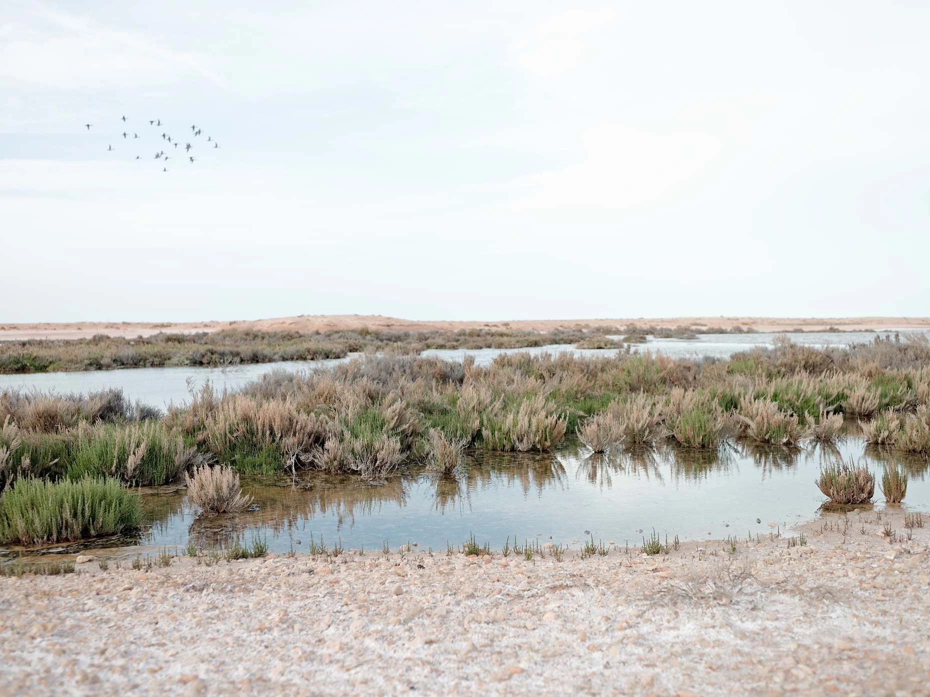
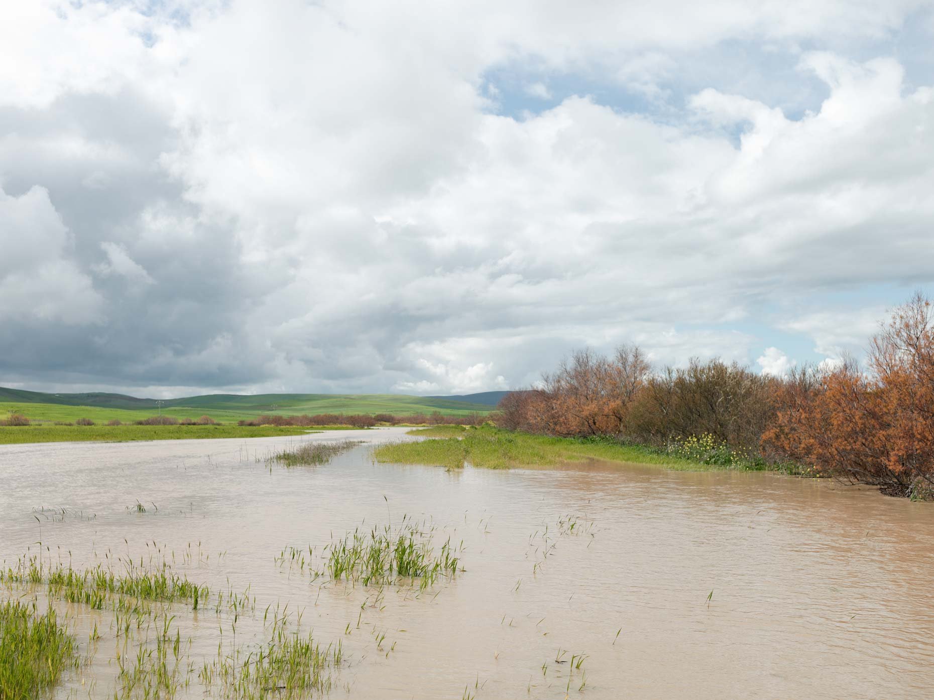
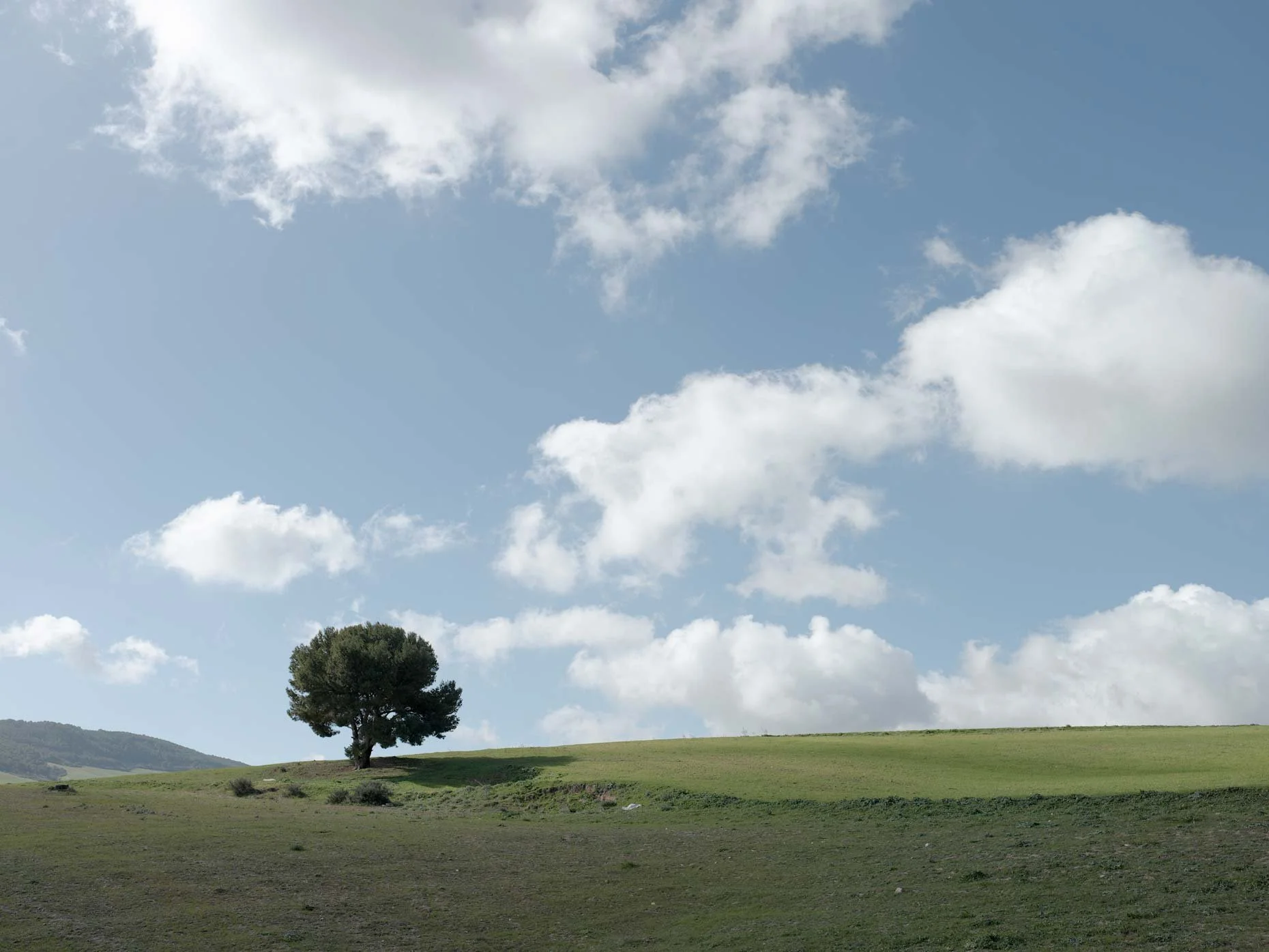
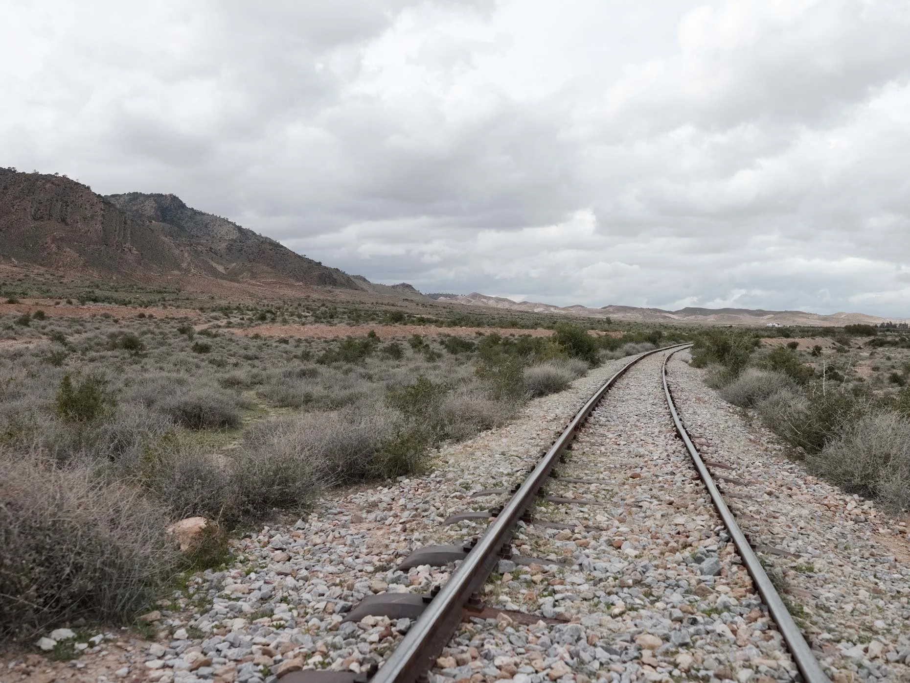
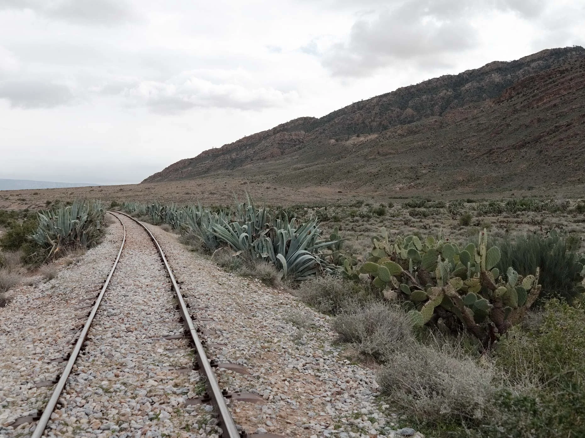
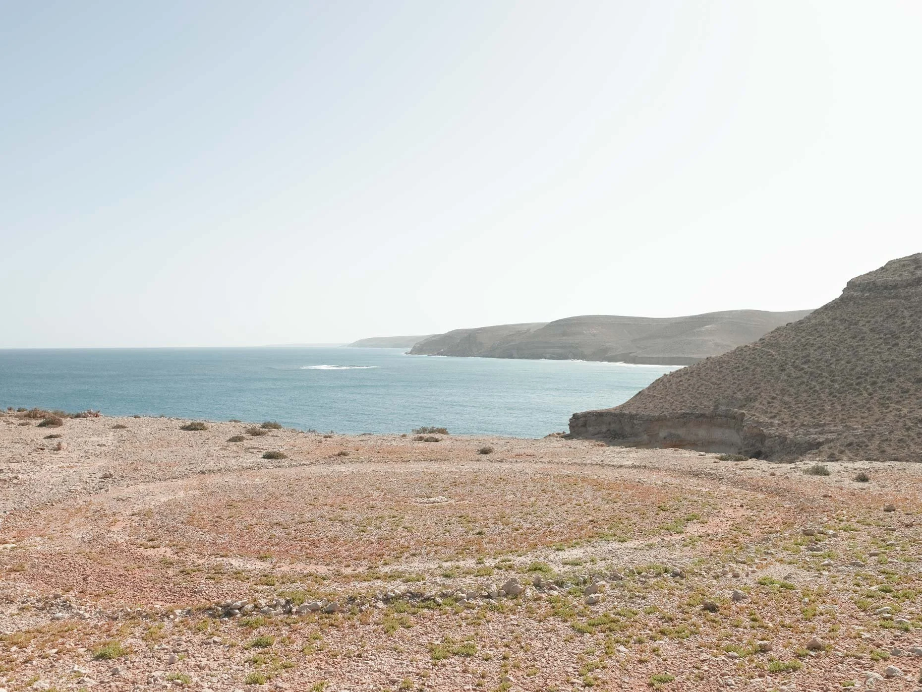
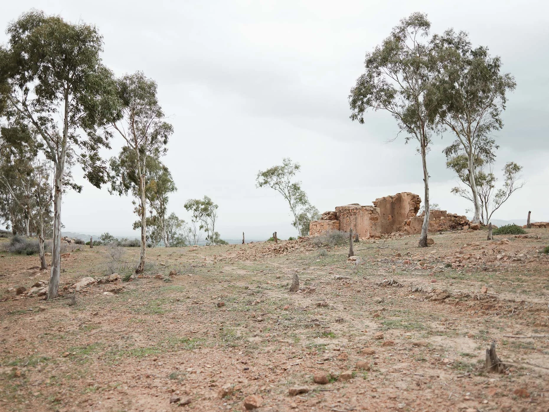
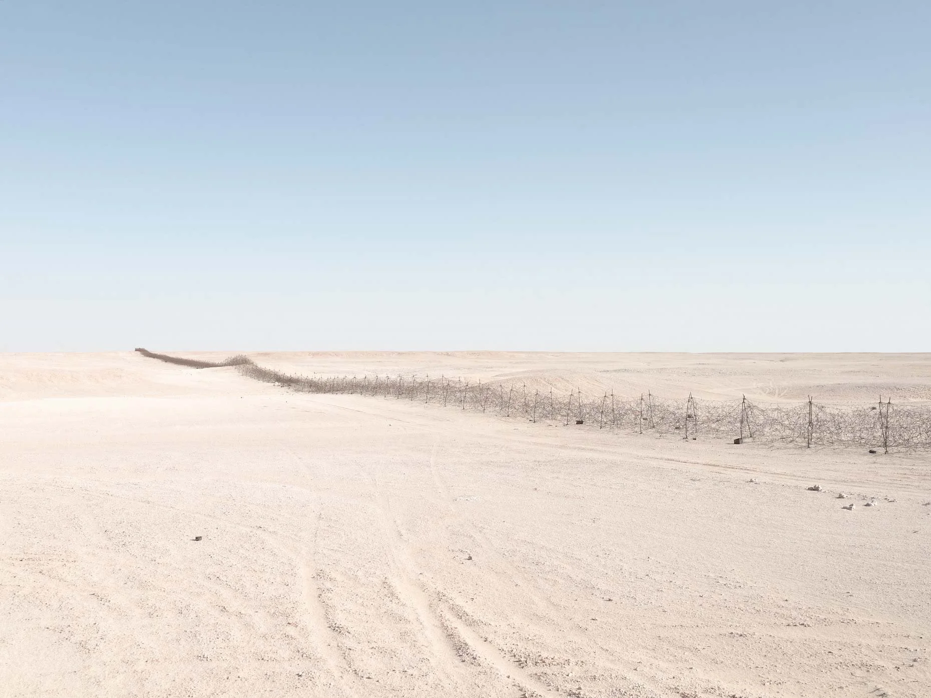
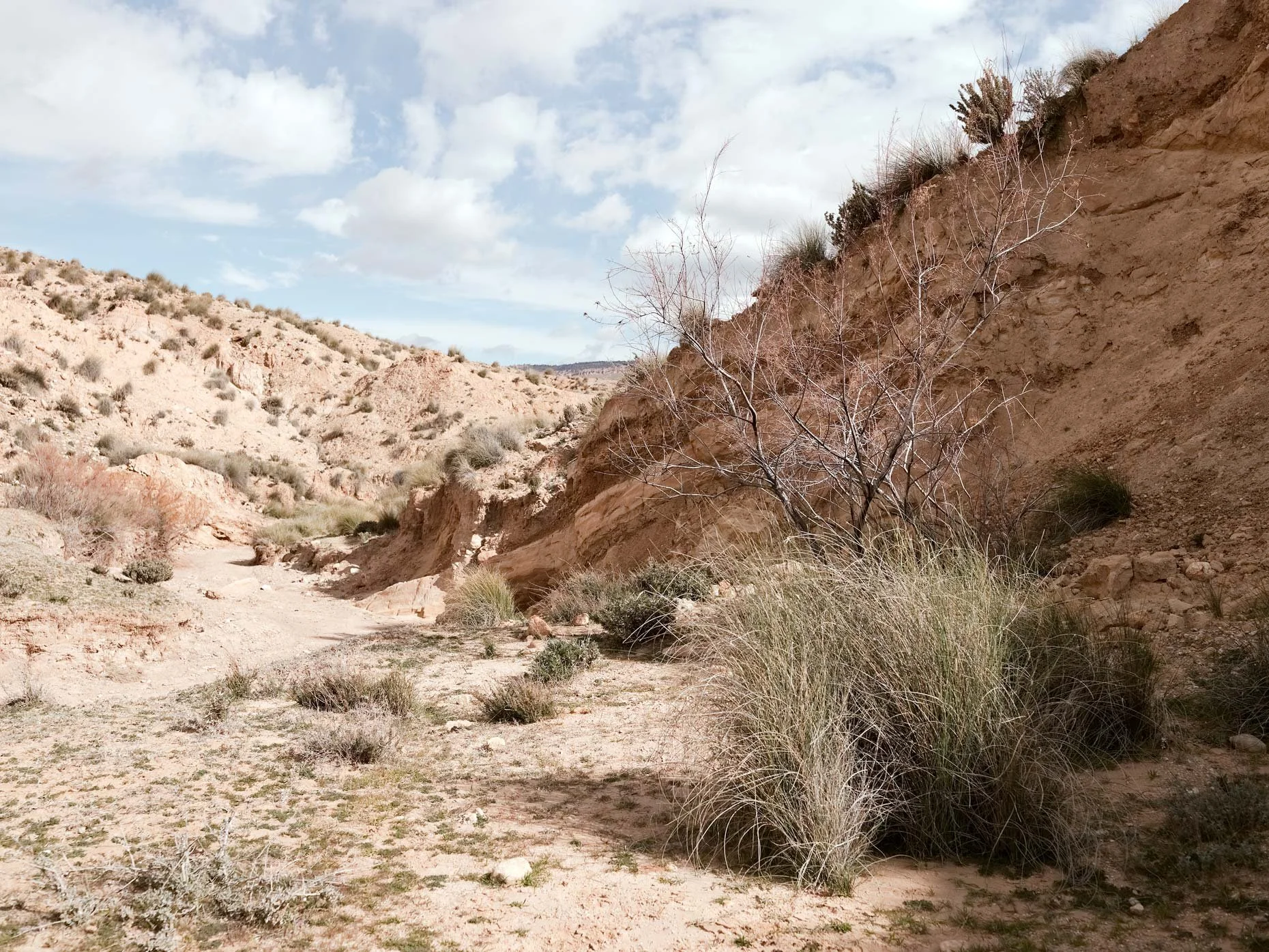
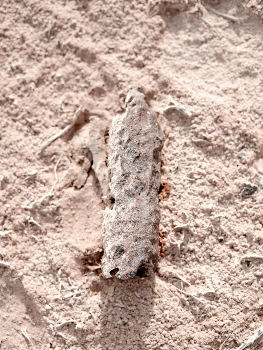
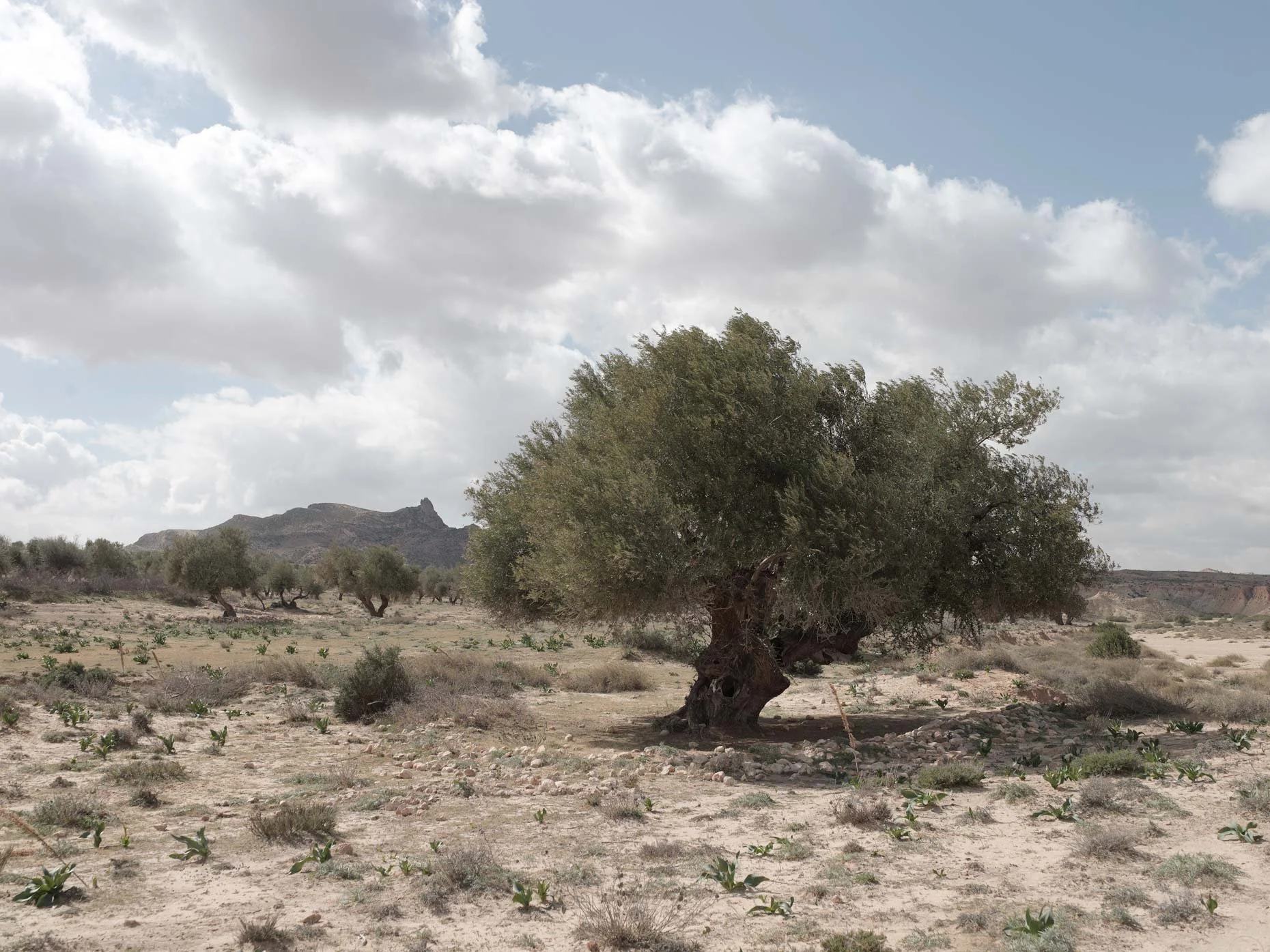
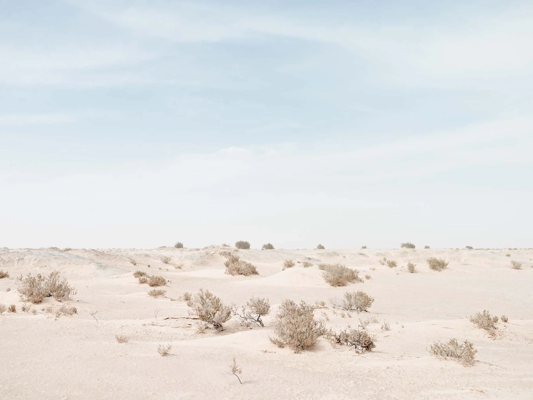
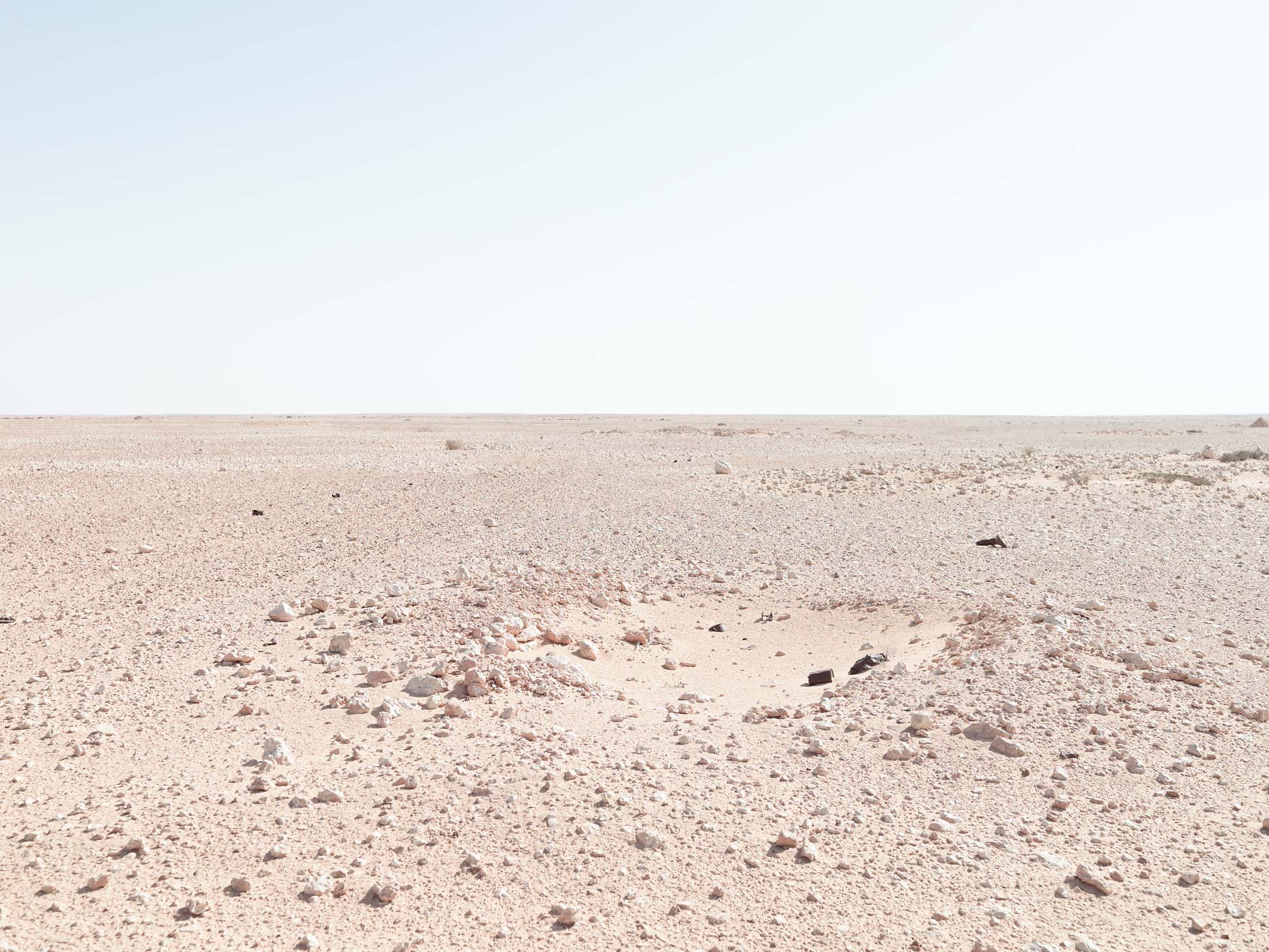
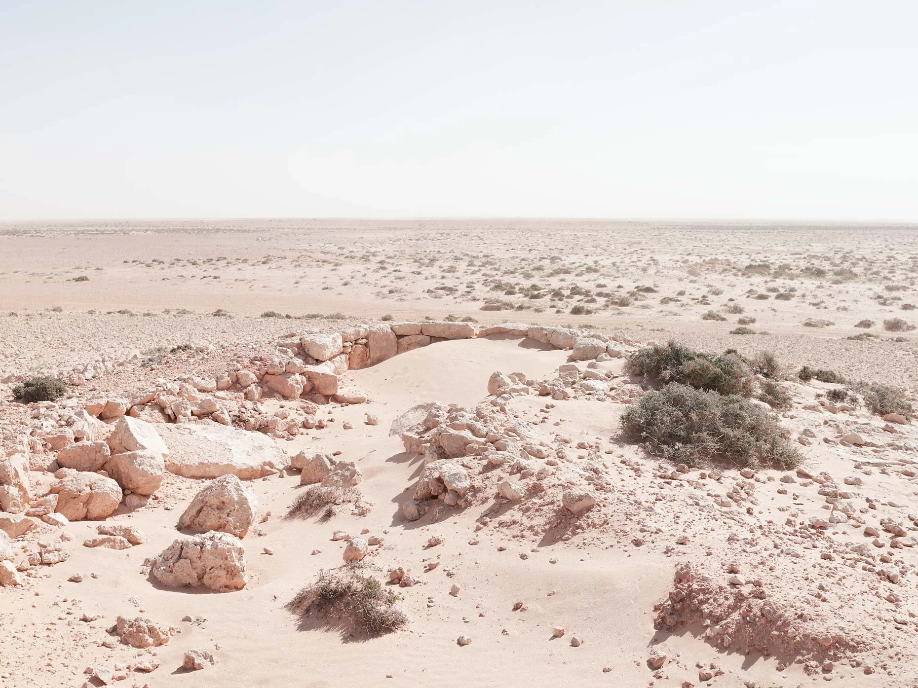
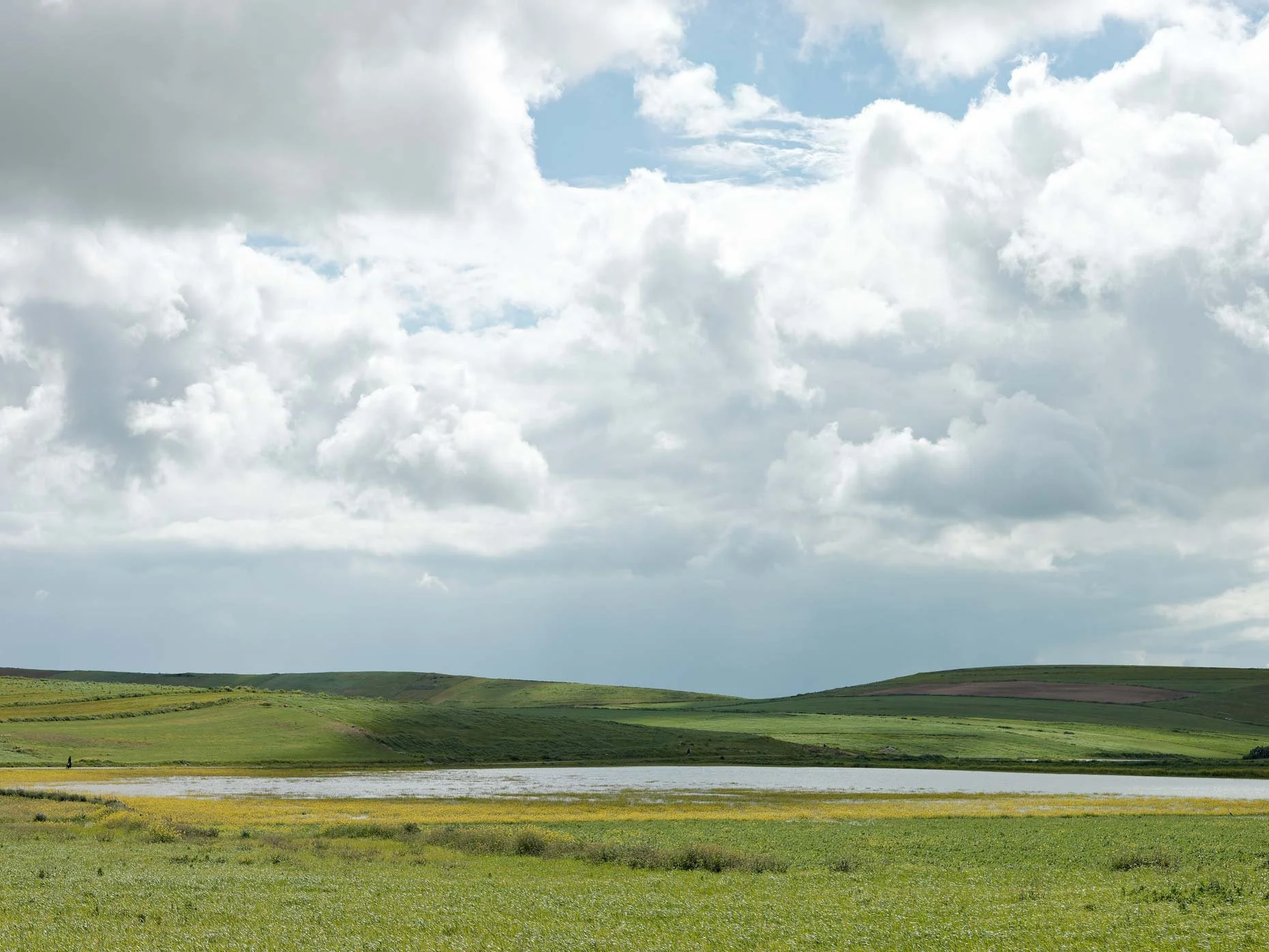
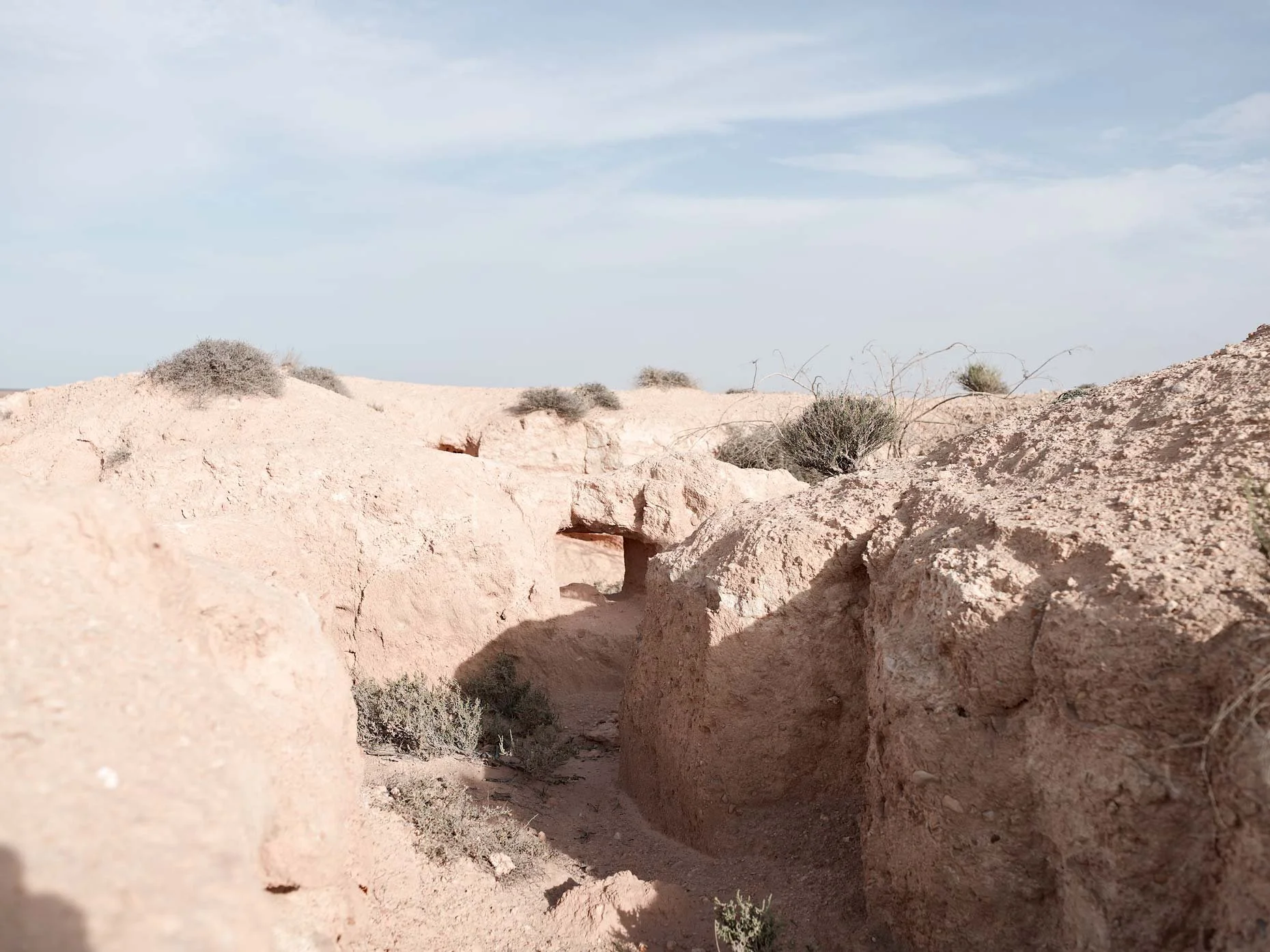
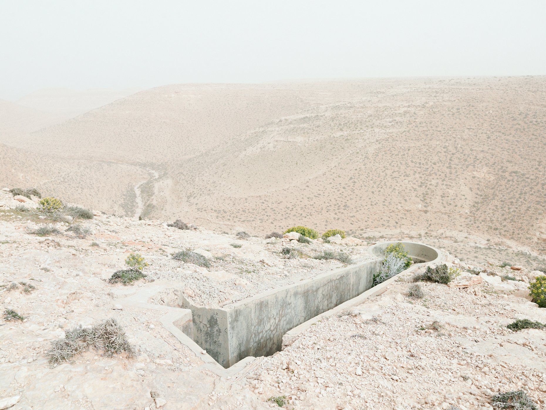
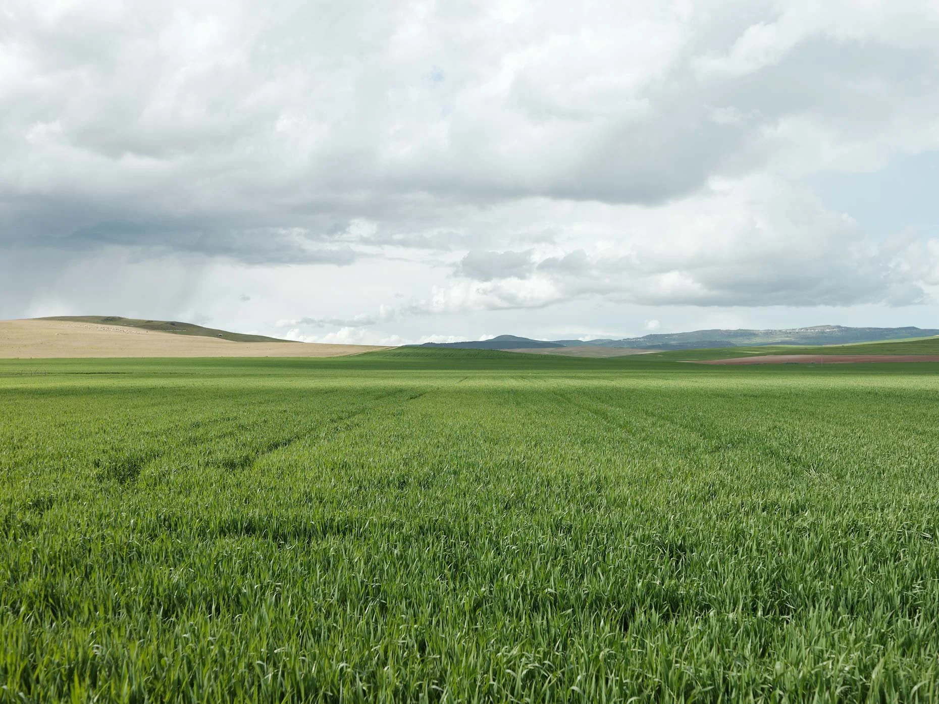
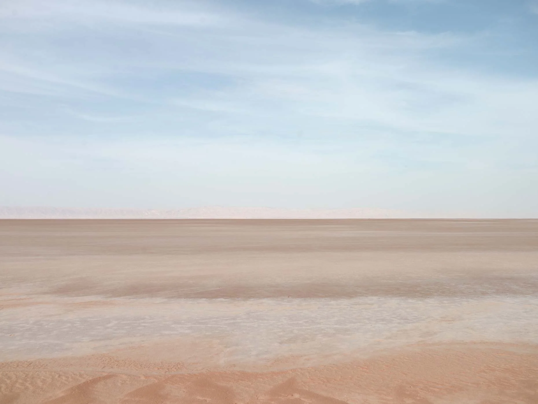
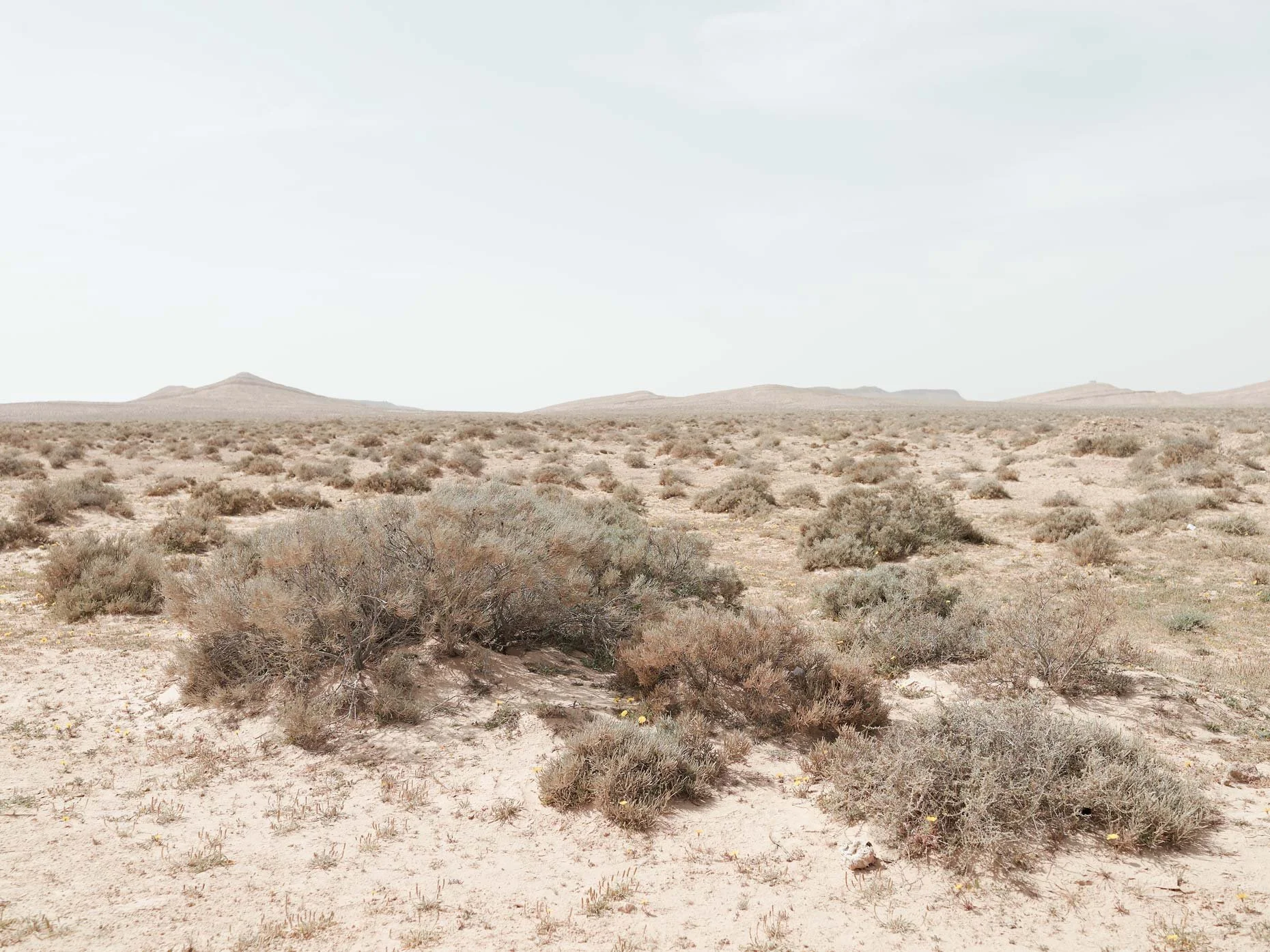
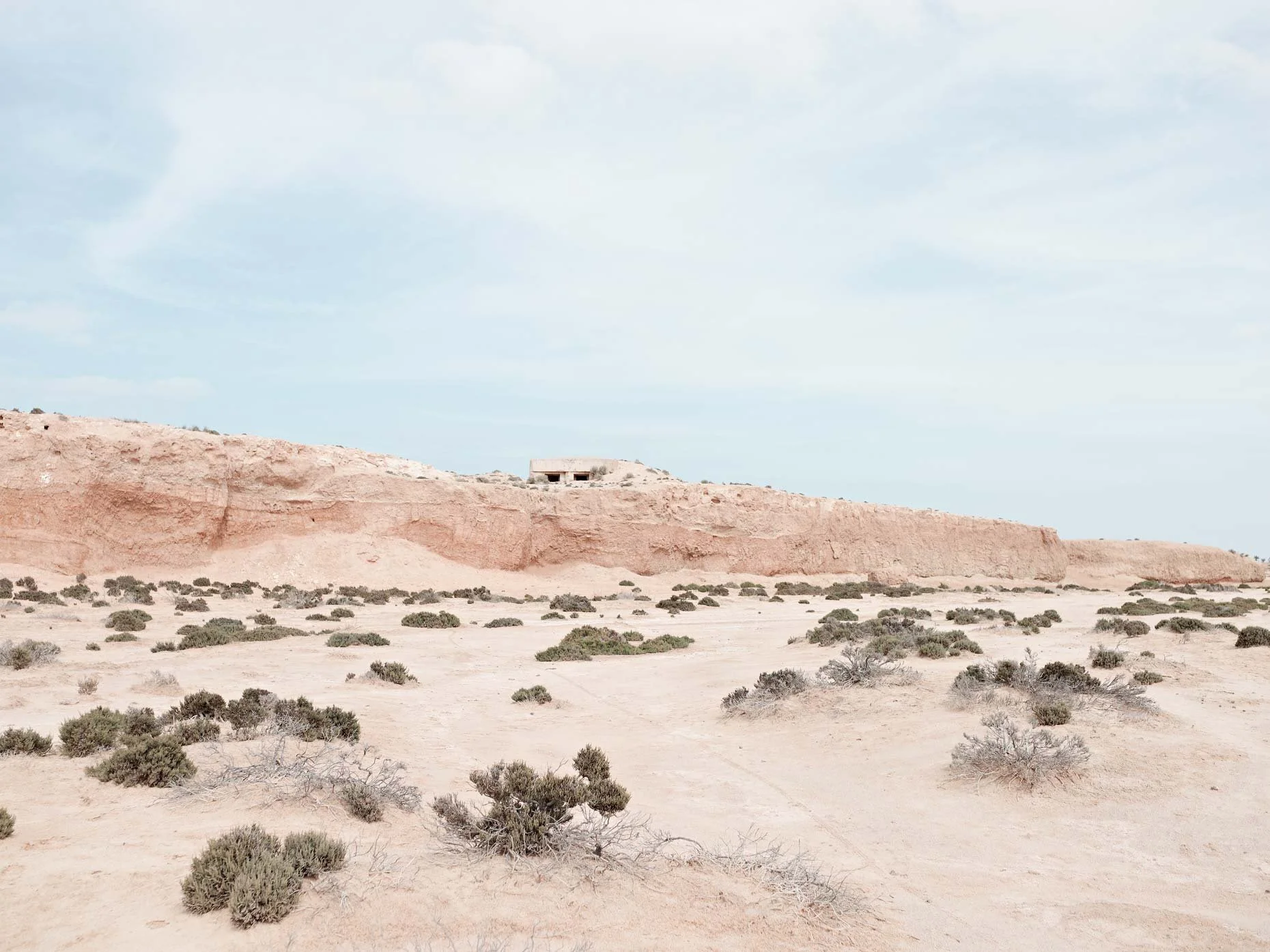
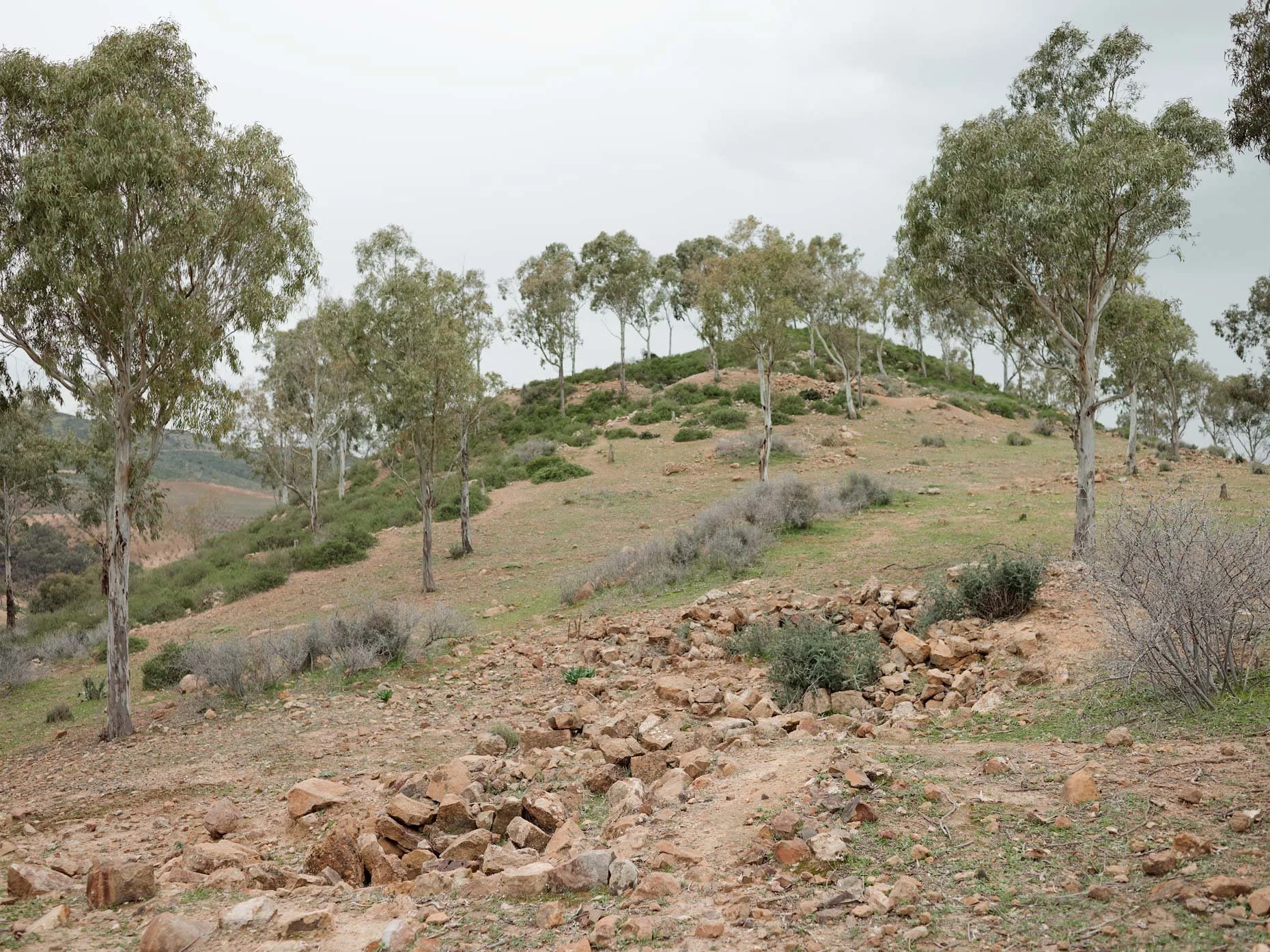
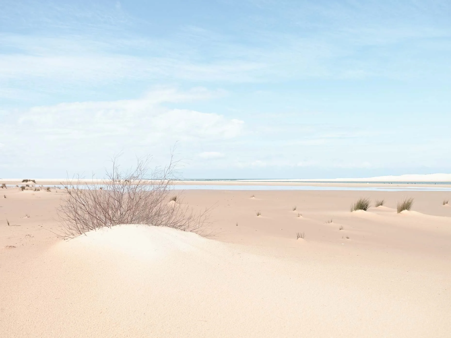
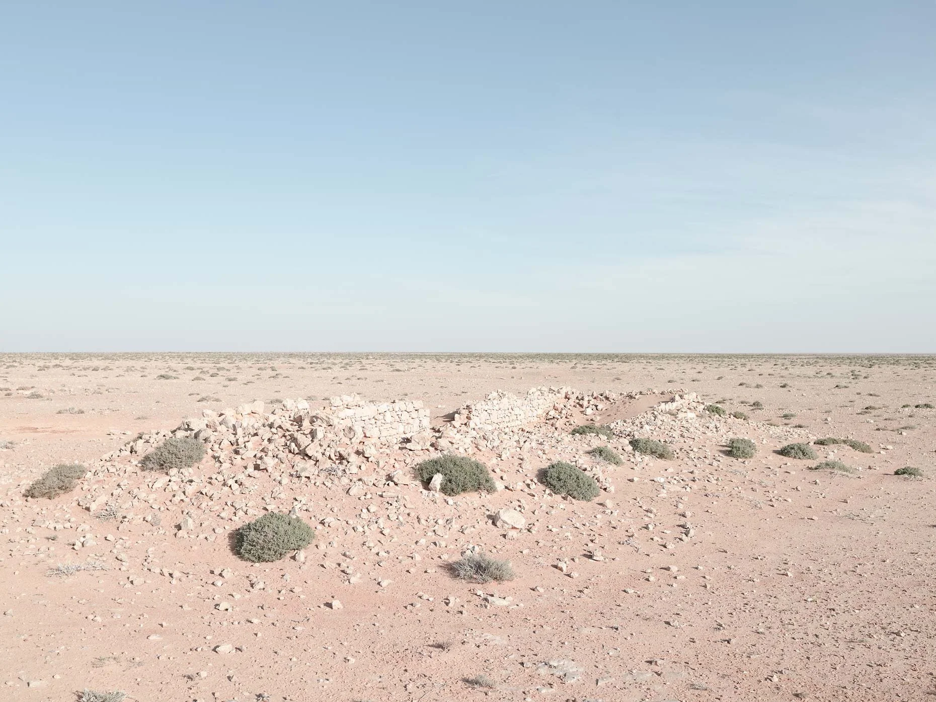
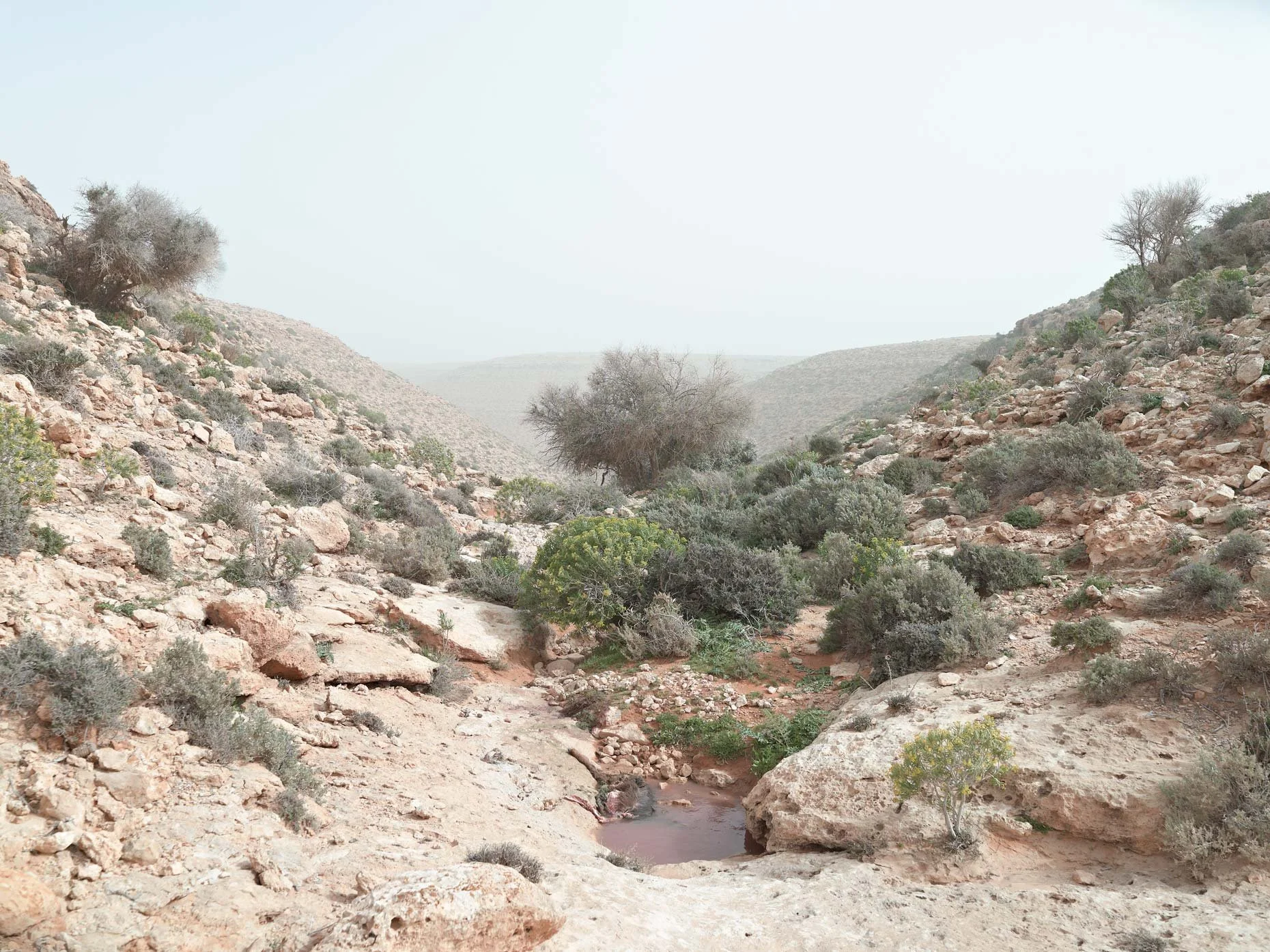
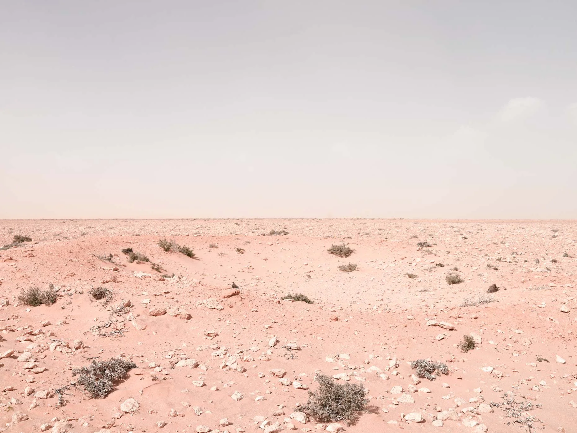
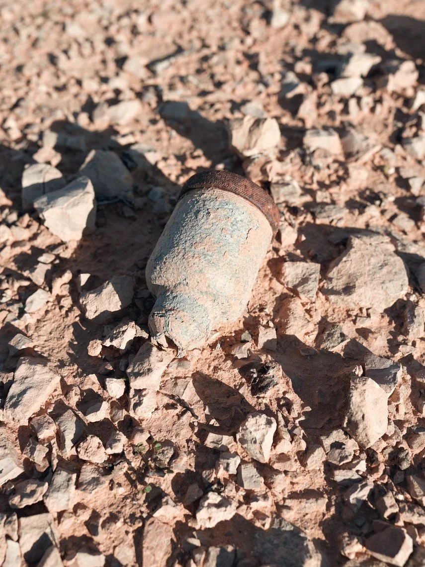
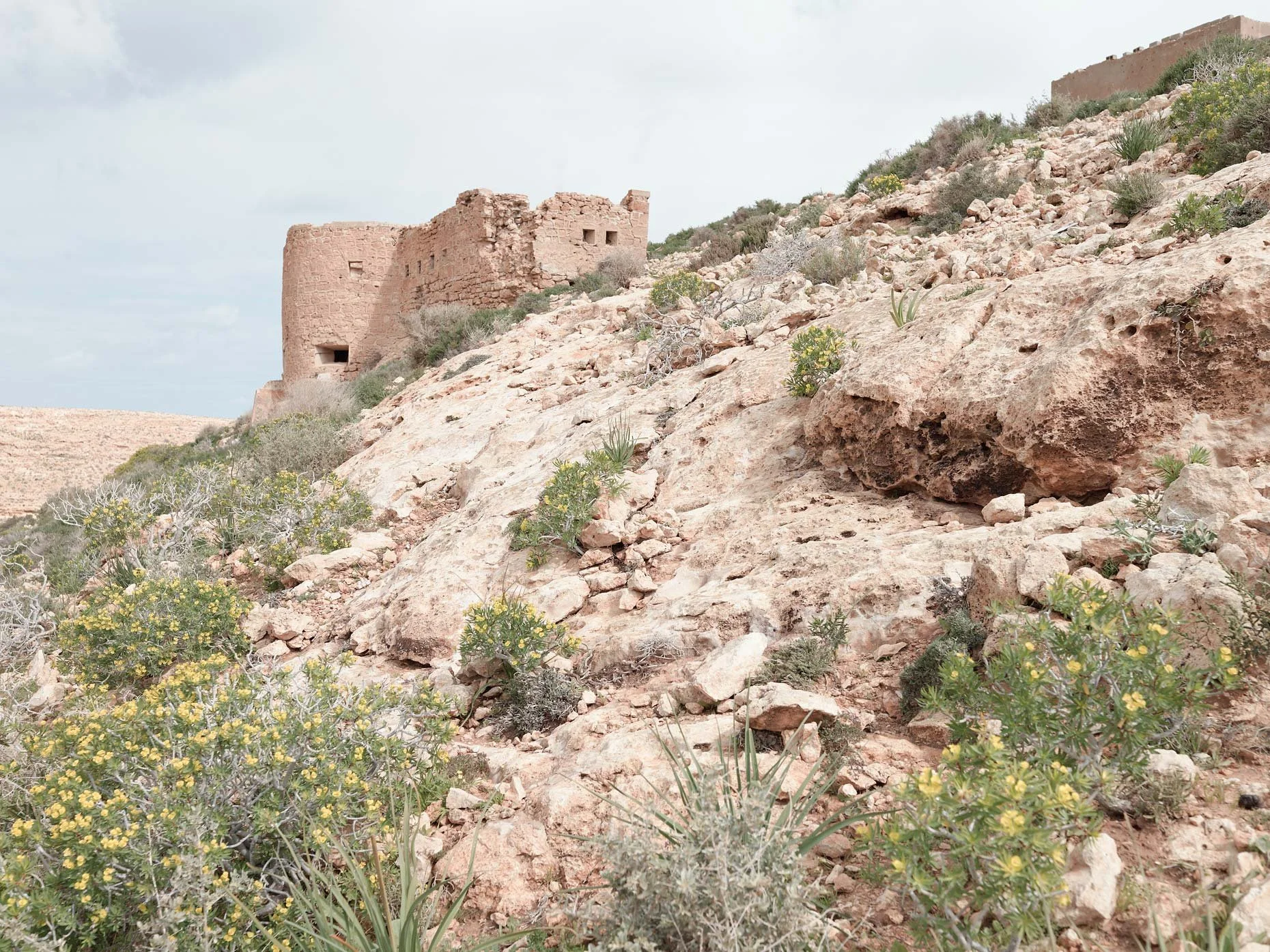
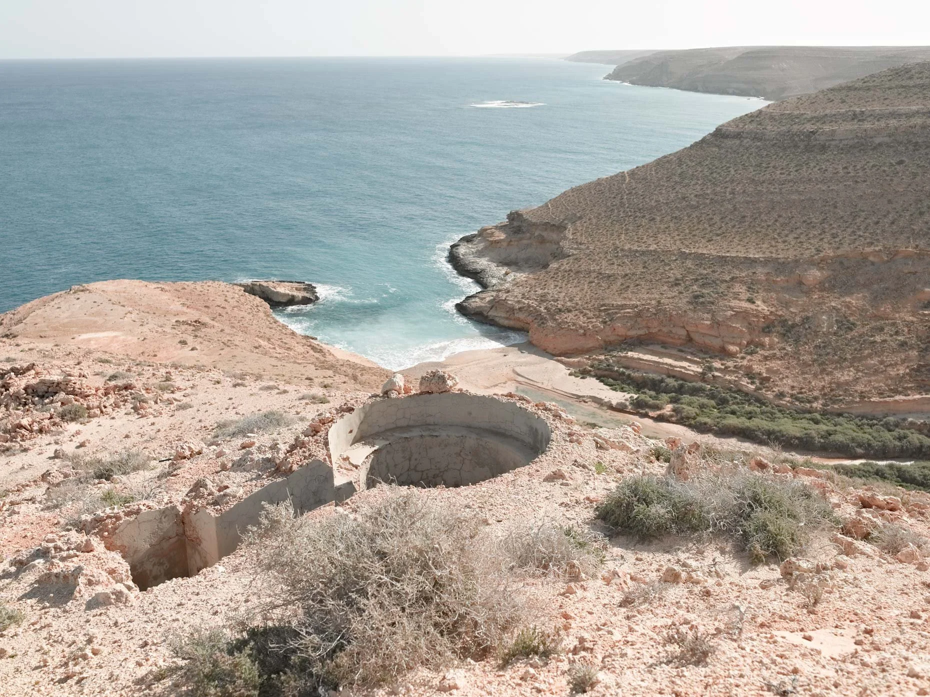
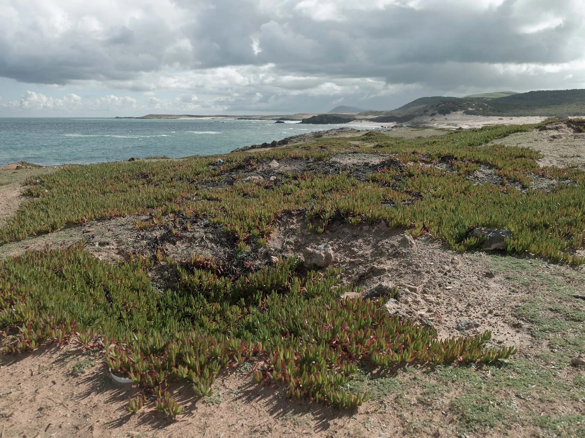
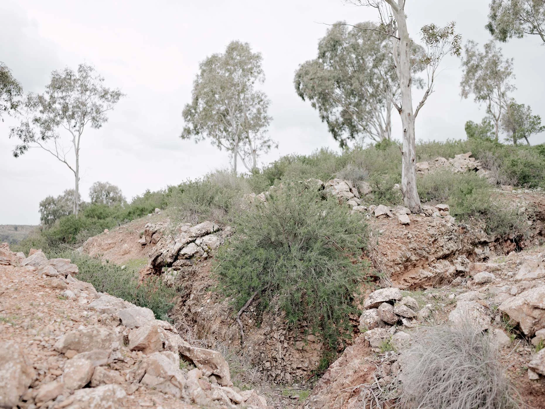
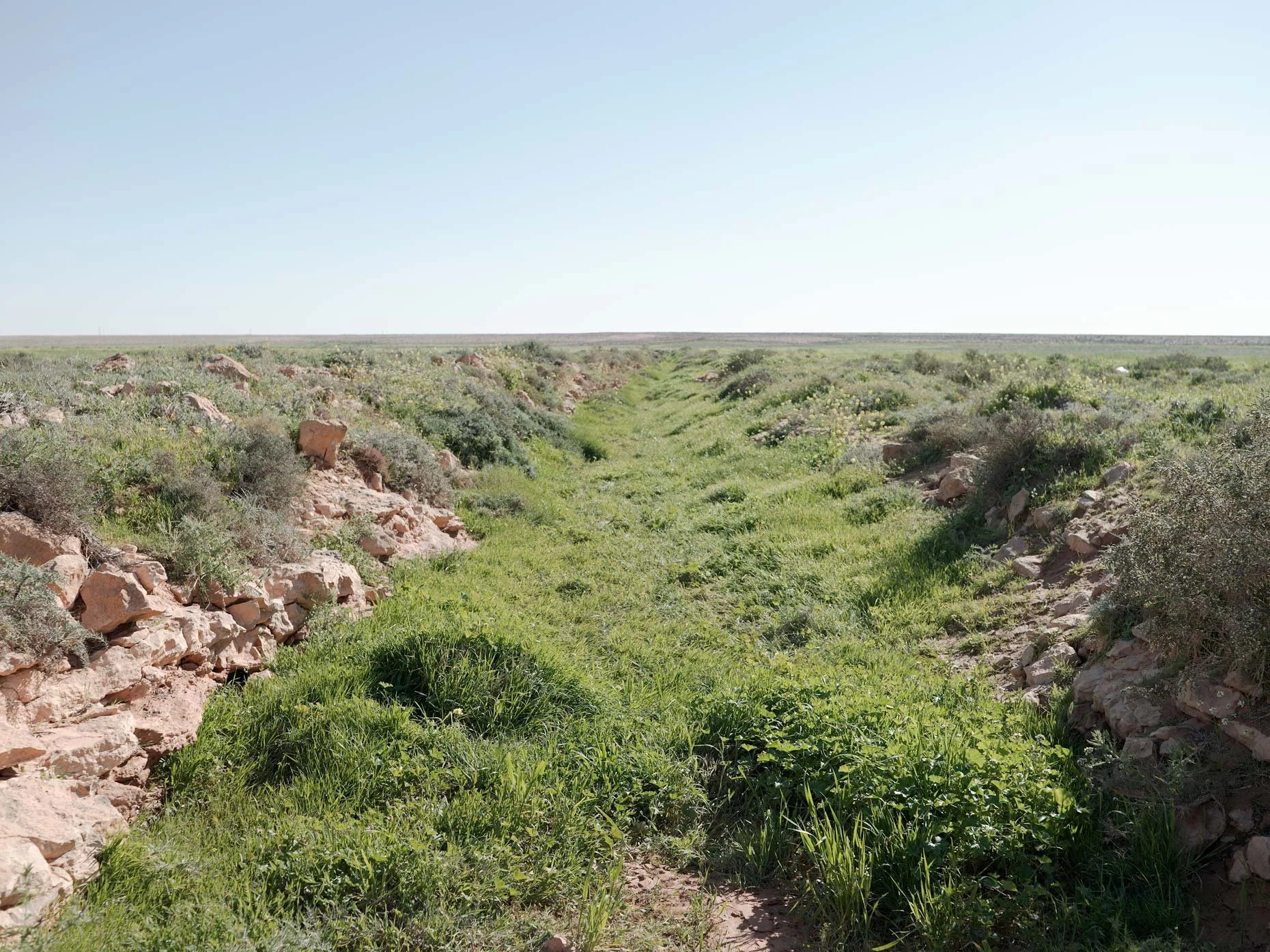
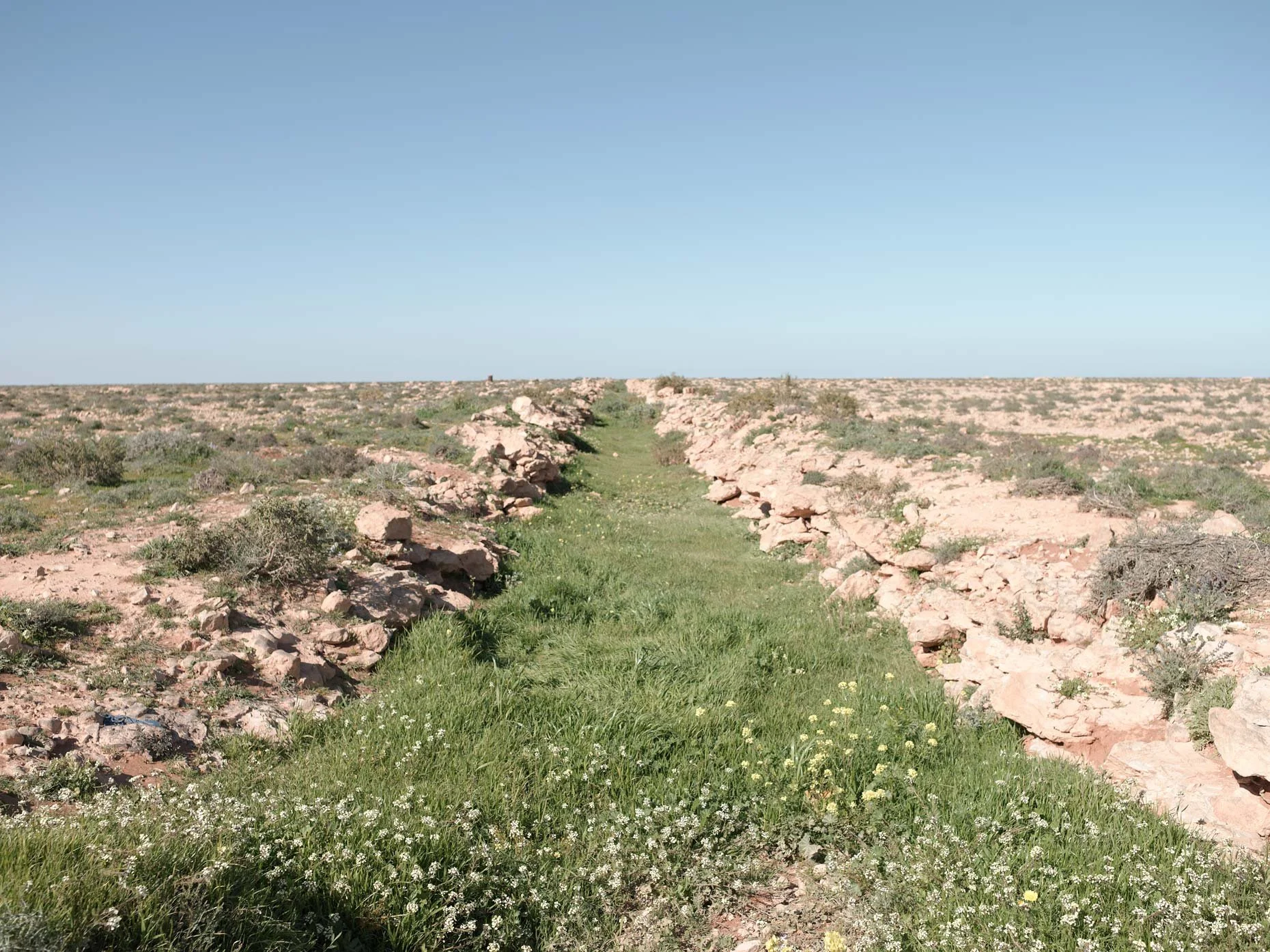
Seventy years have not yet eradicated traces of the fighting (campsites can still be found), evident by the amount of ration tins, trench systems, and pillboxes that still carry the marks of battle. Unexploded shells, barbed wire, and mines still litter the landscapes of North Africa and occasionally claim yet another victim, as if the land is continuing to remind us of the tragedy of war. These photographs depict the peaceful landscape that it is today, so very different from that of yesterday.
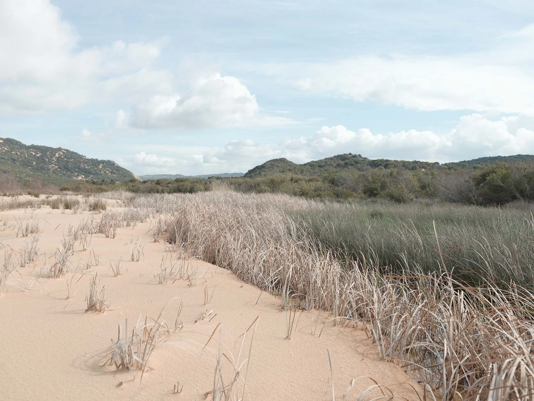
Over the course of the two and a half years that I spent working on this project, I traveled across North Africa from Egypt to Tunisia to photograph these unfamiliar North African landscapes where many crucial battles in the North African campaign were fought. The sites were found utilizing old battle maps to follow the paths that the Allied military units had used, and these sites had not been seen and certainly not photographed in more than sixty years.
This project and subsequent monograph could never have happened without the historical knowledge of Steven Hamilton and the logistical support of his various teams in North Africa. His research of the historical battlefield sites and understanding of the region are truly what made this project possible.
We traversed these countries in the midst of the kind of turmoil that had not been experienced there since World War II. Steven’s dedication to my project and his confidence kept us pressing on, even through the most dangerous and trying of times. He dealt with lodgings that had been burned by protesters the night before in the middle of nowhere, and with the crowds that surrounded us at the makeshift memorial to Tarek al-Tayeb Mohamed Bouazizi in Tunisia, and also got us through the document-stamping labyrinth of the territorial border between Egypt and Libya during their revolutions and civil war, and through being detained for hours by local rebel forces at a checkpoint in Libya. Throughout these ordeals, Steven’s composure and sensibility are what got us through.




FOREWORD TO THE MONOGRAPH | HILARY ROBERTS
The War in North Africa was memorably described by Alan Moorehead as a “tragedy of three years and three acts.” Moorehead, a renowned war correspondent, covered the Allied campaign from beginning to end and subsequently became its historian, publishing The Desert War Trilogy in 1944. Moorehead’s intimate knowledge of the battlefields and his ability to conjure pictures through words enabled him to convey the experiential reality of the desert war like no other writer of the day. Matthew Arnold’s beautifully realized photographs of the North African battlefields take us on a similar journey. Topography Is Fate—North African Battlefields of World War II is a striking evocation of the enduring legacy of the events described by Moorehead seventy years earlier.
Between September 1940 and May 1943, Allied and Axis powers, their colonies, and occupied territories waged war against each other in a struggle for control of Middle Eastern oil fields, the Suez Canal, and vital supply routes to Asia and East Africa. Initially, the war was waged in the vast, empty deserts of Libya and Egypt. Fortunes of war waxed and waned in these hostile and unforgiving environments, which Lieutenant General von Ravenstein, commander of the German 21st Panzer Division, summed up as a tactician’s paradise and a quartermaster’s nightmare. The Second Battle of El Alamein and the arrival of US armed forces formed a decisive turning point in late 1942. The campaign moved west, engulfing Morocco and Algeria before concluding in Tunisia.
A total of seventeen nations confronted each other in North Africa. The brunt of the fighting was borne by Britain, the British Empire, Germany, and Italy. For France, divided and occupied, the campaign was one of several agonizing confrontations between the rival forces of Vichy France and the Free French. For America, it was a baptism by fire. Accurate casualty figures are not available for all the nations involved. However, it is estimated that more than 775,000 men were killed, wounded, missing, or captured.
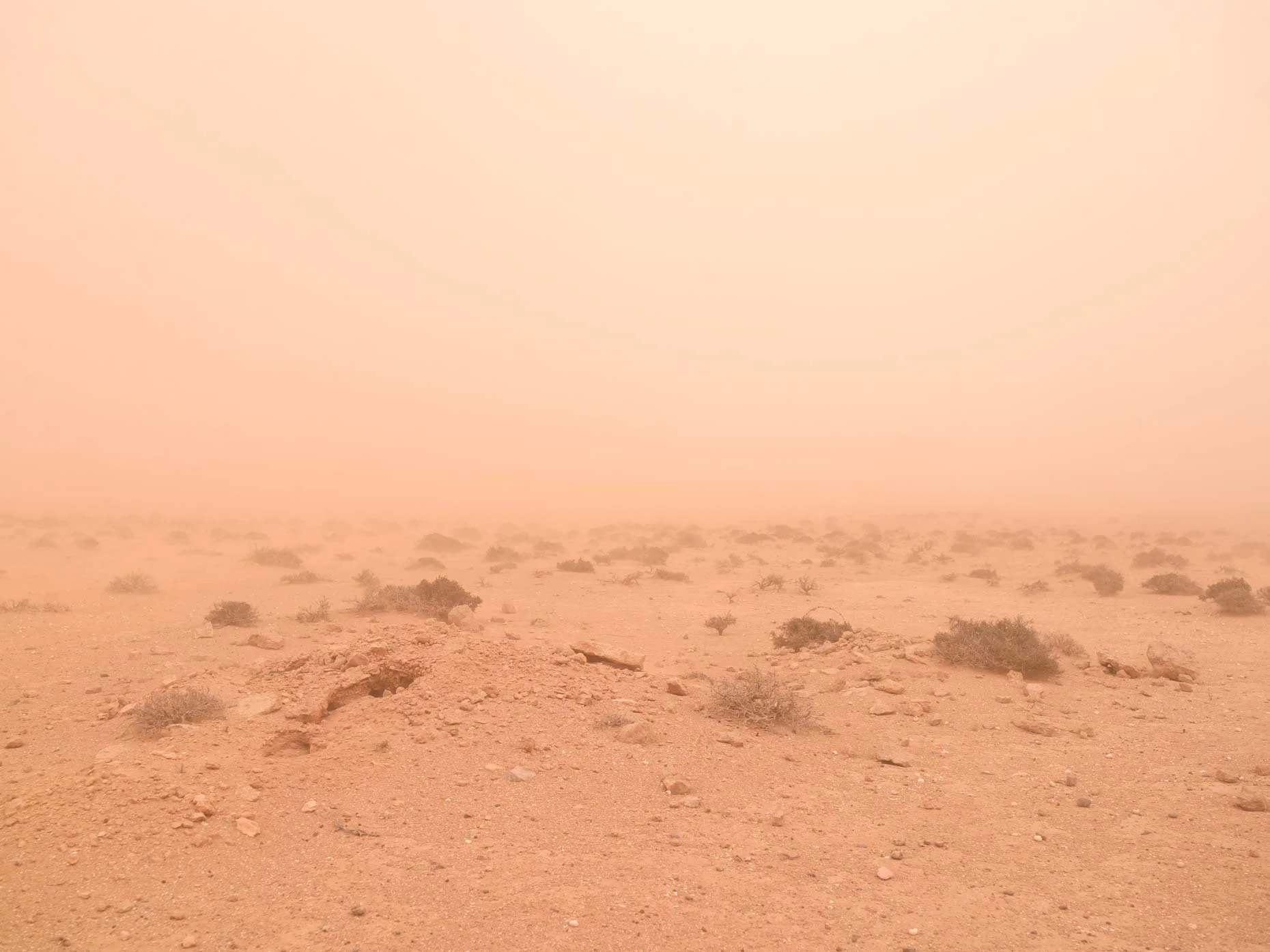
Eyewitness accounts record how the belligerents waged war with the desert as well as with each other. The desert was an environment that lacked the essentials of life and any form of infrastructure. Debilitating extremes of temperature, choking dust, and disorientating sandstorms were constants. Water, food, and shelter had to be transported over rough, arid terrain in which roads were nonexistent and permanent landmarks few and far between. Compasses were unreliable. Maps were inaccurate. The average life of a vehicle was just six months.
Nevertheless, mobility was the defining characteristic of the desert war. Accommodation was temporary, capable of being relocated at a moment’s notice. Defenses were also temporary, often consisting of little more than hurriedly excavated earthworks, ditches, barbed wire, and minefields. Those that were permanent, such as the fortifications of the Mareth Line, had been constructed mostly before the war. Moorehead wrote, “We made no new roads. We built no houses. We did not try to make the desert liveable, nor did we seek to subdue it. We found the life of the desert primitive and nomadic, and primitively and nomadically the army lived and went to war.” Axis forces sought a more orderly existence in vain. They “tried to subdue the desert. And in the end the desert beat them.”
Cecil Beaton, who toured the war zone as a British official photographer in 1942, voiced the ambivalence felt by many toward the desert: “Yet although there can be no more wasteful, heartless and purposeless theatre of war than the desert, still it possesses advantages. It is a healthy battleground, unlike the disease-spreading mud and miasmas of the 1914 trenches: most men are physically fitter than ever before in civilian life. Life here is primeval, and from this very simplicity seems to spring a new contentment. Often the men become so contented that they are said to be ‘sand happy.’”
Conflicts are shaped by a number of variable factors, but terrain and environment are always key. Knowledge of battlefield topography, an understanding of the local environment, and a strategy adapted to both are essential prerequisites for any successful military operation. Such knowledge and understanding are also vital for anyone with a genuine interest in understanding the nature of a conflict years after the event. Today, thousands visit the more accessible European battlefields of the two world wars every year. Popular understanding of the slaughter on the Somme in 1916 or at Omaha Beach in 1944
is informed by the ability to experience these sites and inspect the lingering, often carefully preserved detritus of war at close hand. Other battlefields remain less well known or understood for reasons of distance, environment, politics, and ongoing conflict. The battlefields of North Africa are among these. The realization of this book is a testament to Arnold’s determination, forensic research, and uncanny ability to interpret the topography of the North African battlefields despite the passage of time.
It might be assumed that few traces of the War in North Africa survive today, given its nature. Matthew Arnold’s striking color photographs prove otherwise. They bring the desert to life but also provide a rare bridge to the past. We are able to visualize the experiences of thousands of men seventy years ago, while simultaneously appreciating the enduring beauty of the landscape today. We can ask for nothing more.