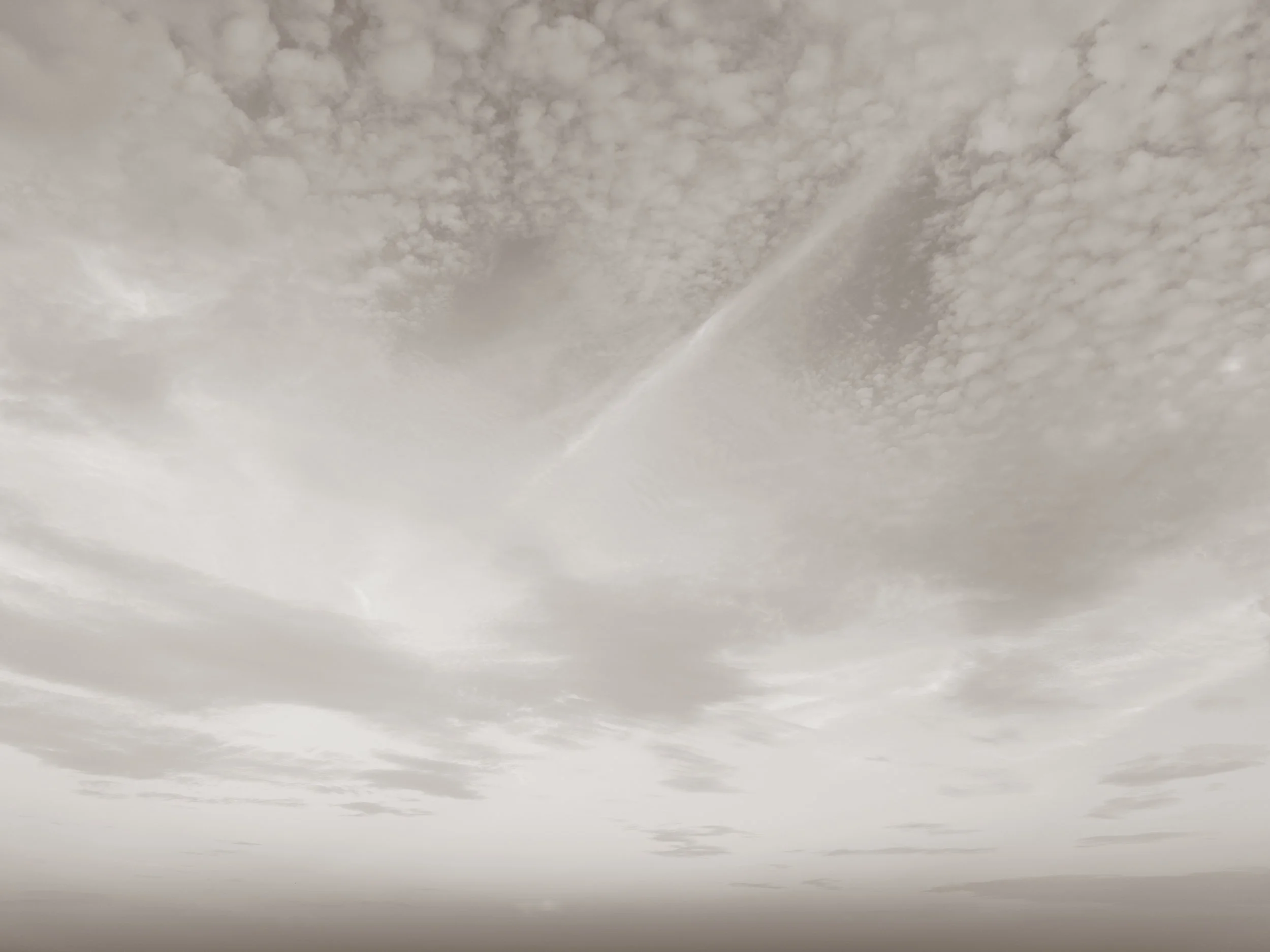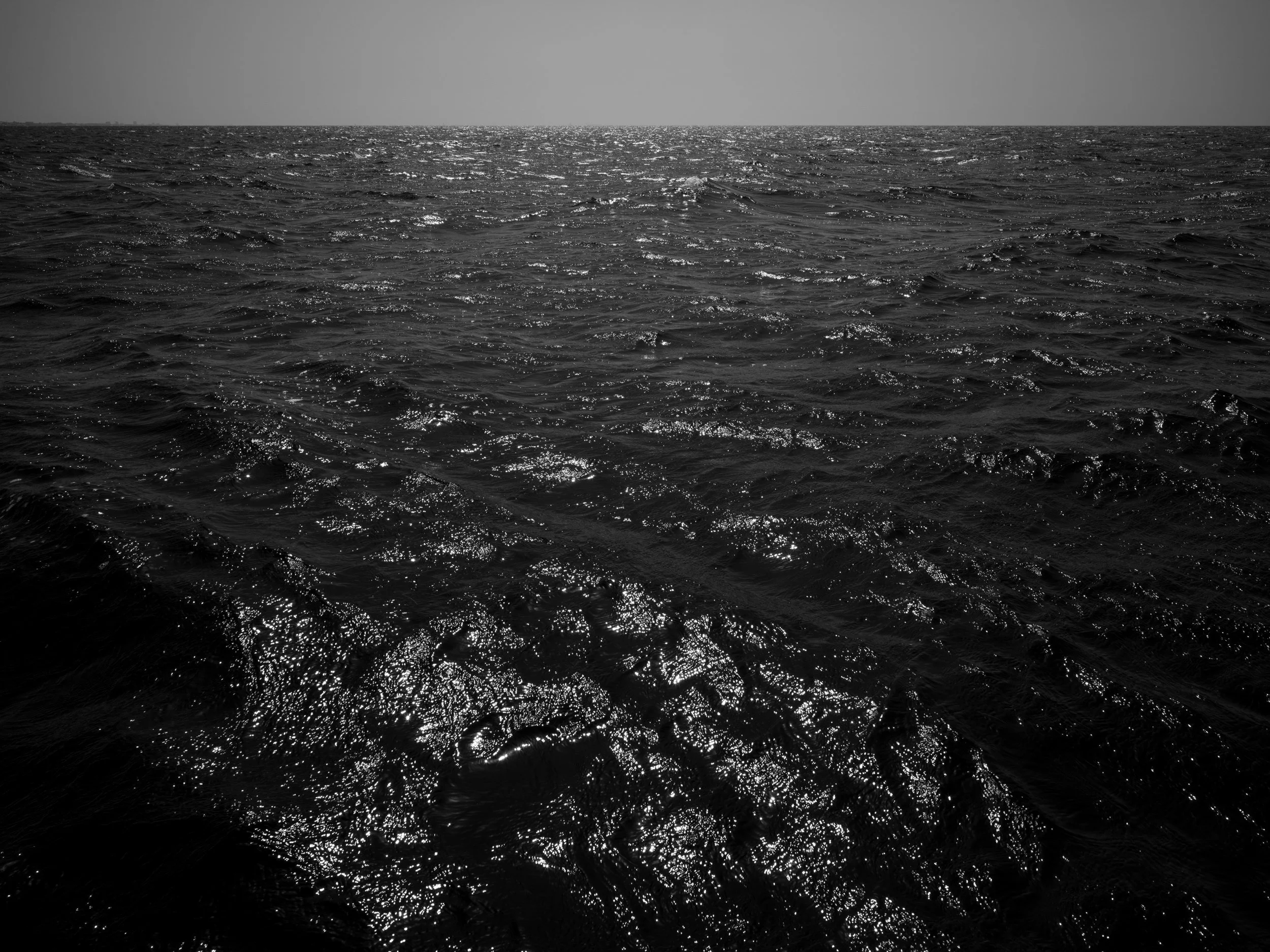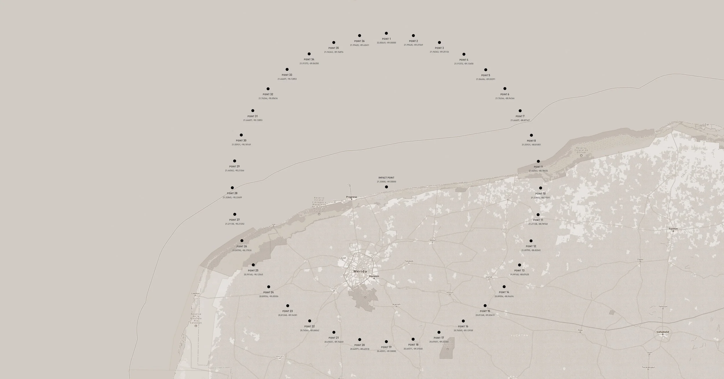
Map showing the location of the circumference of Chicxulub Crater including coordinates and numbered points, along with some geographic and urban features.

The Day the Earth Died

Fieldwork at the edge of deep time

PHASE 1: THE CHICXULUB CRATER

Sixty-six million years ago, an asteroid approximately ten kilometers wide struck the Earth near present-day Chicxulub on the Yucatán Peninsula, creating a crater nearly 180 kilometers across and triggering one of the most consequential extinction events in planetary history. The impact ignited global wildfires, altered Earth’s climate, and extinguished more than seventy-five percent of all living species. The thin layer of ash and soot left behind—the K–Pg boundary—marks both a geological rupture and a conceptual threshold between worlds: before and after, abundance and absence, continuity and collapse.

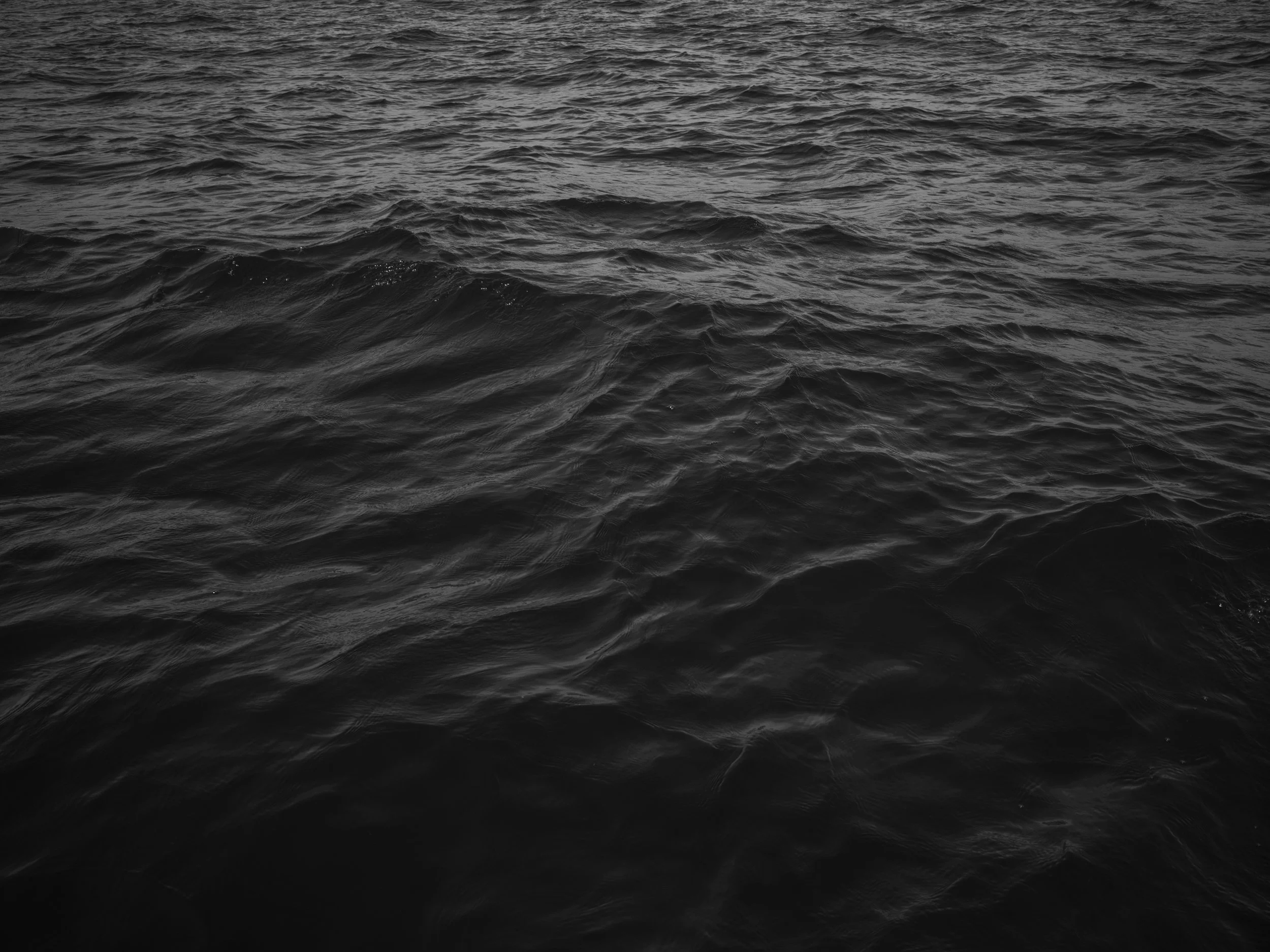
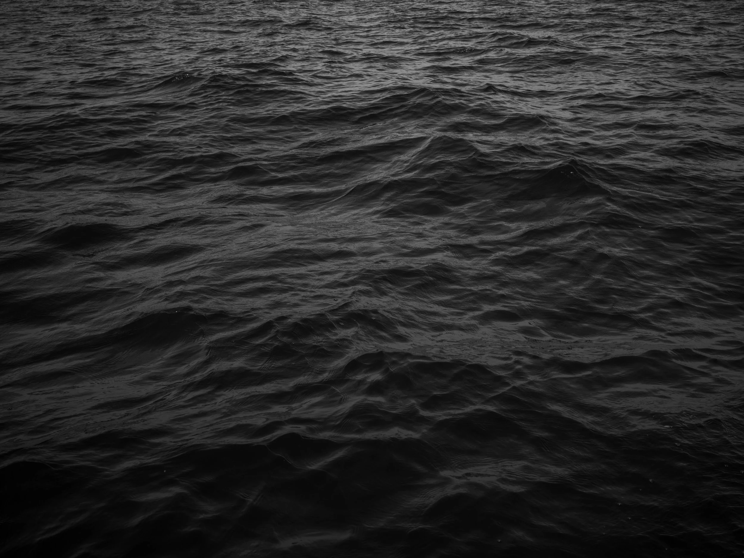
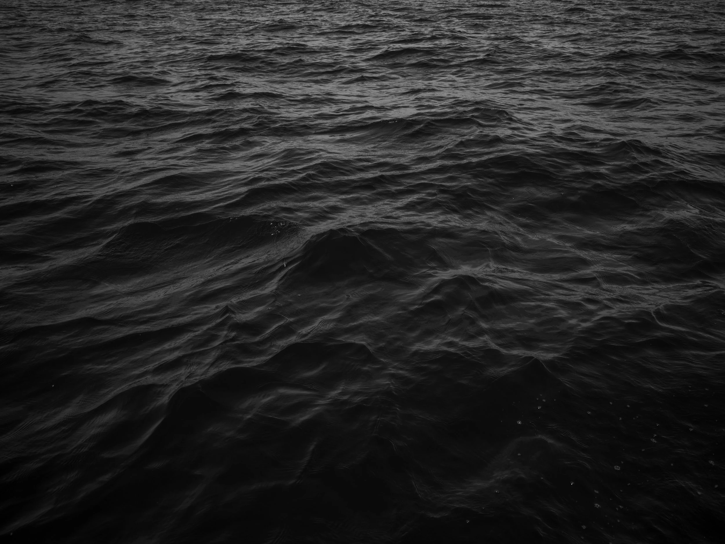
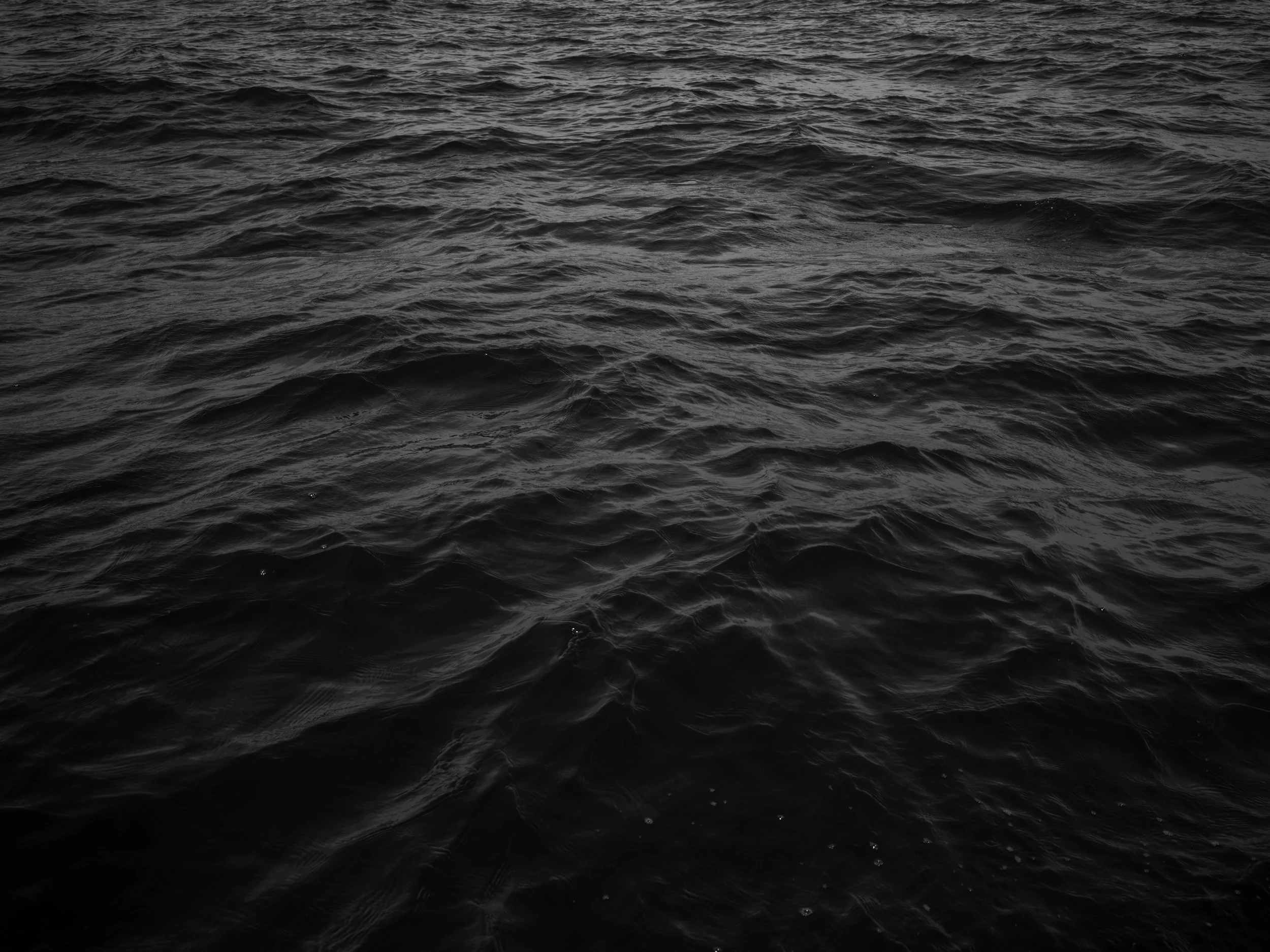
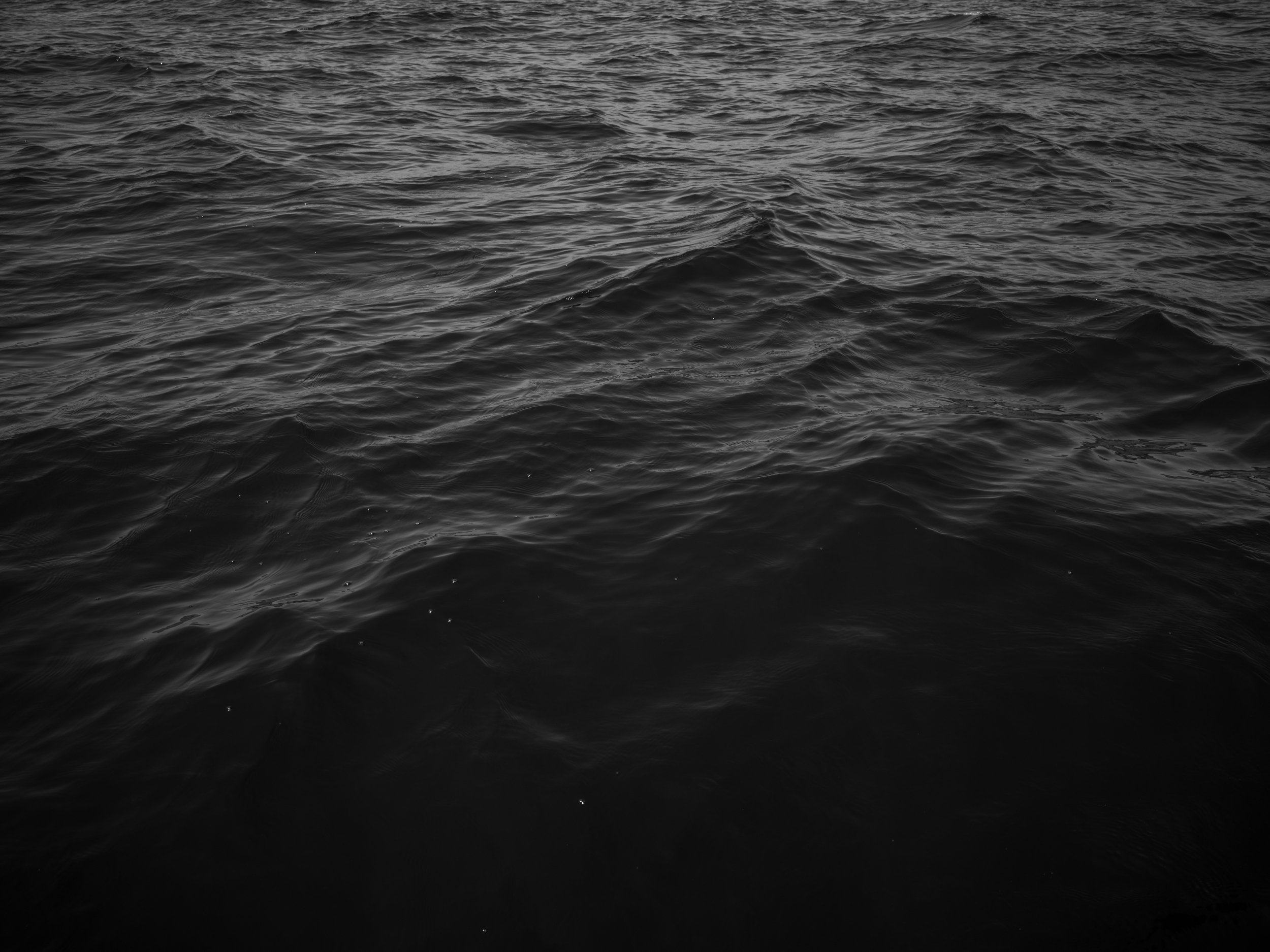
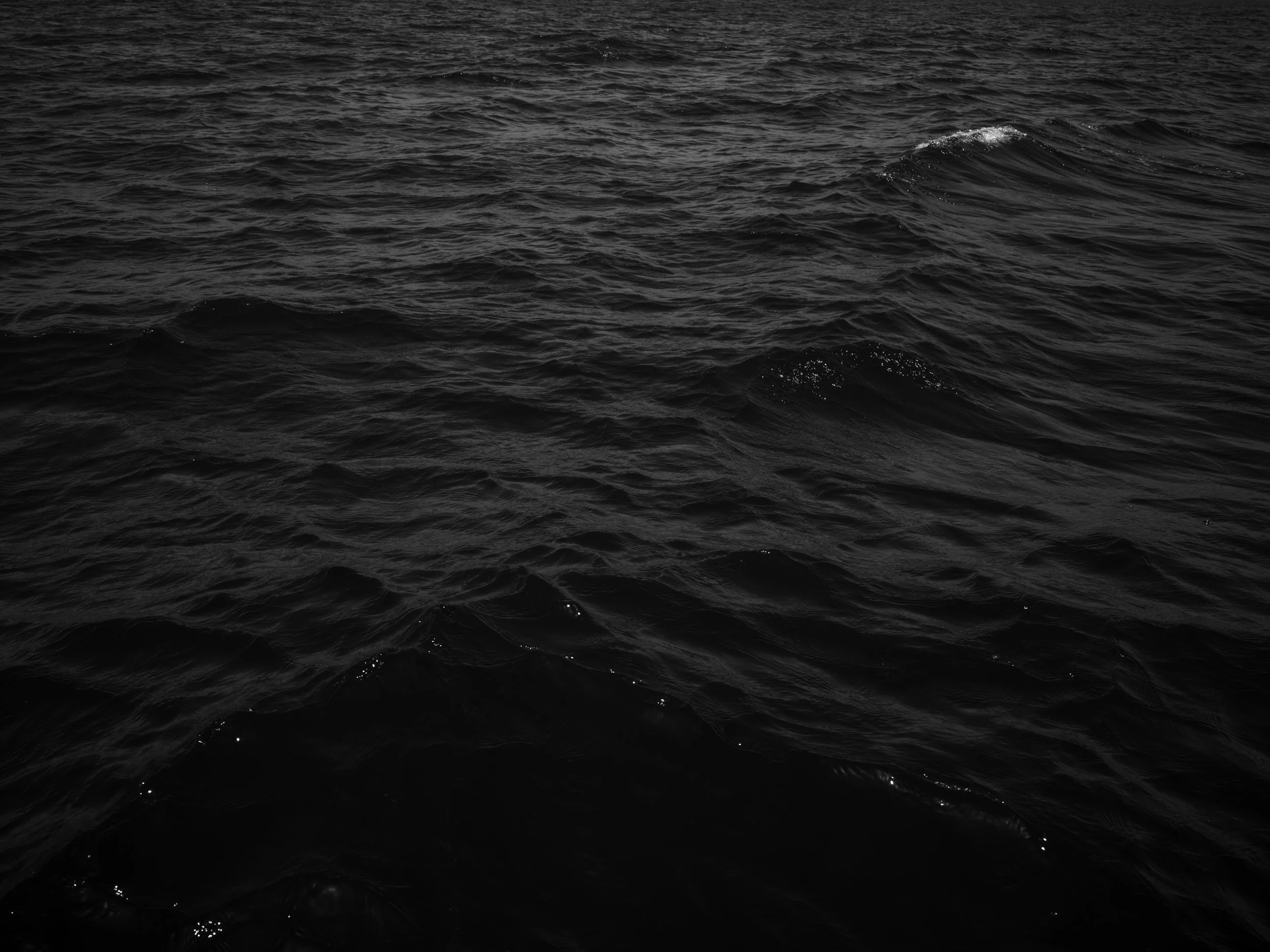
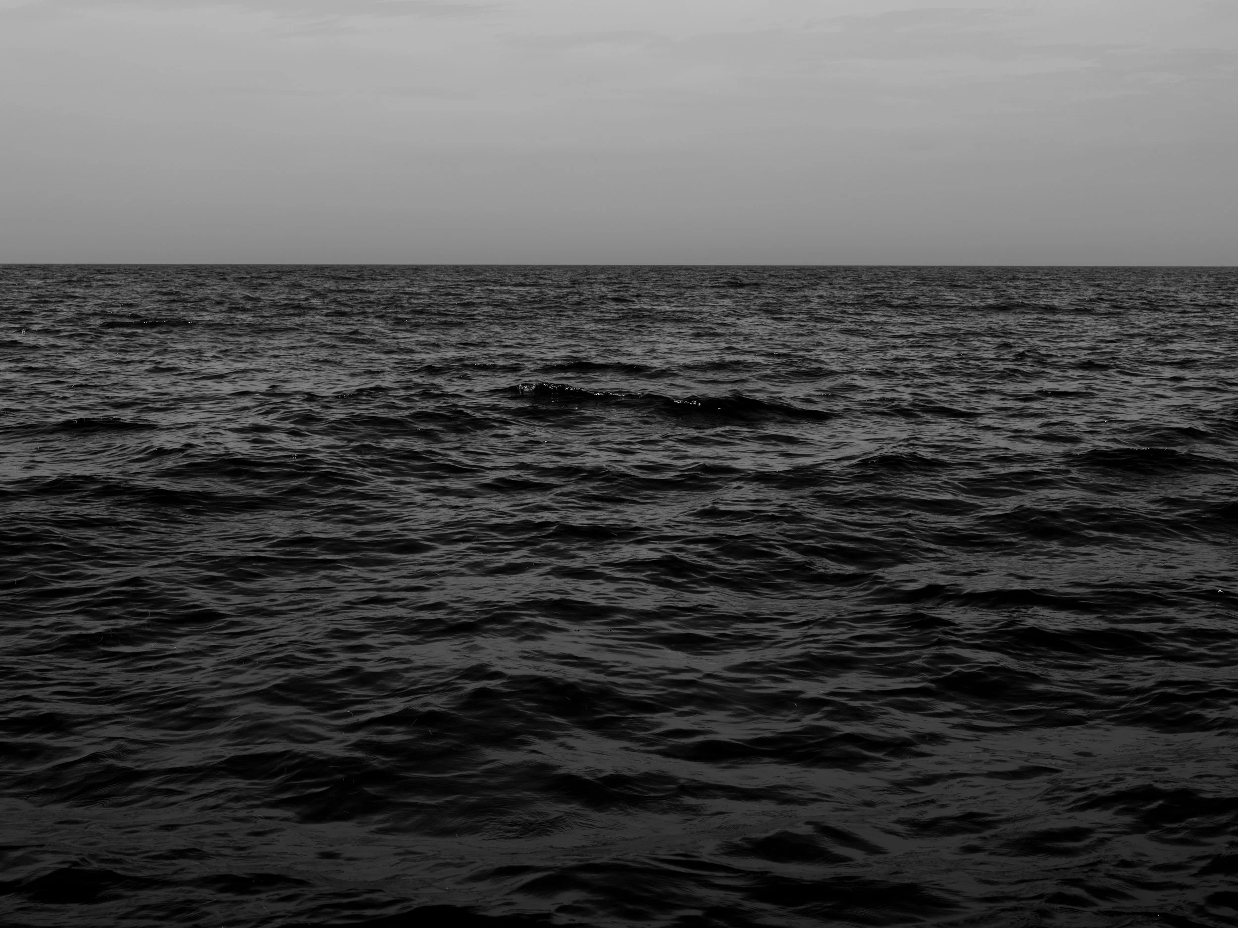
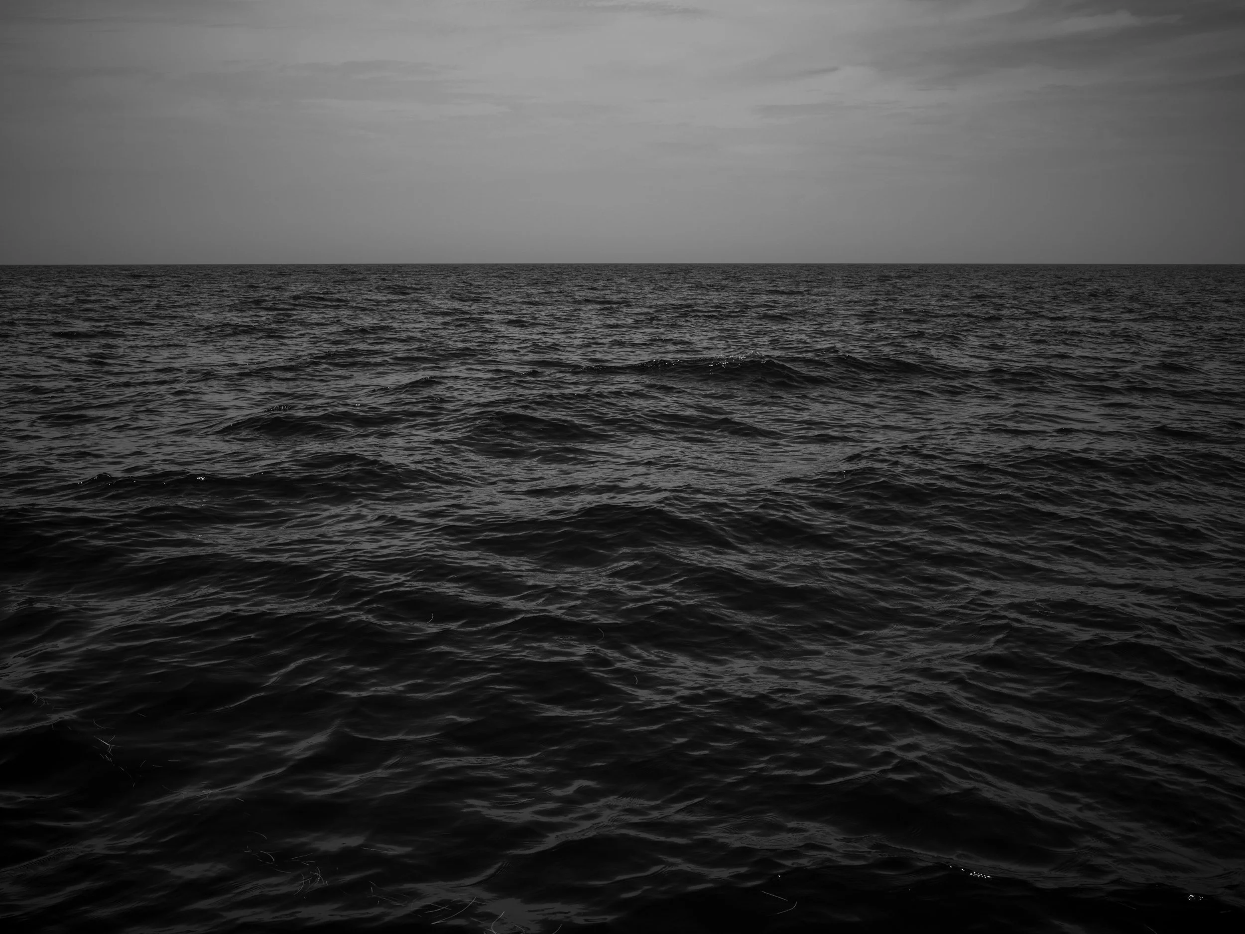
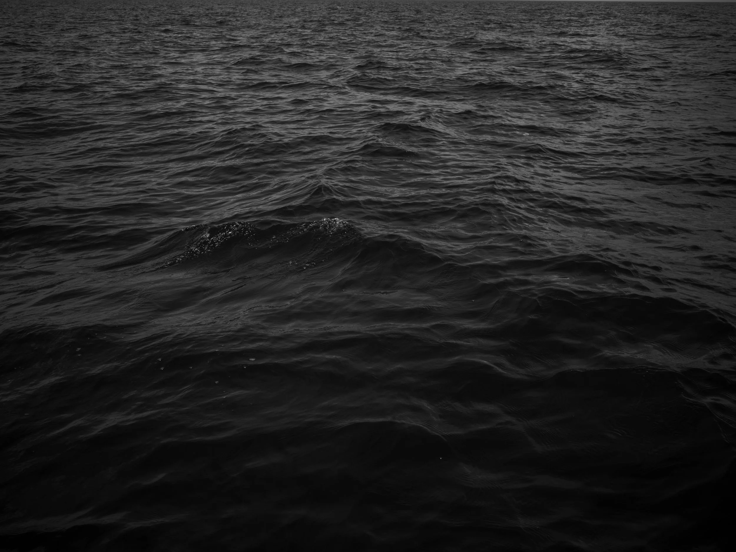
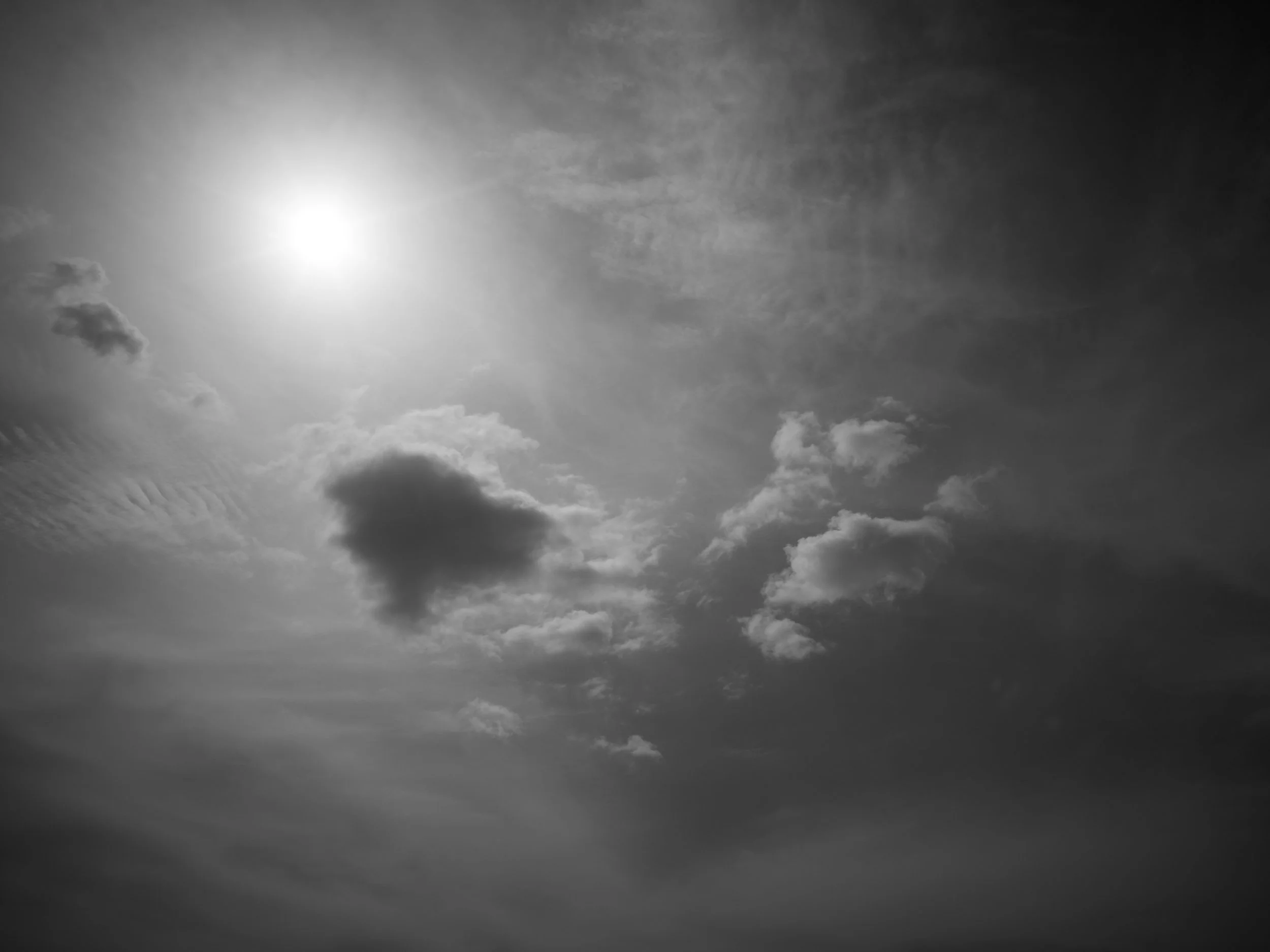
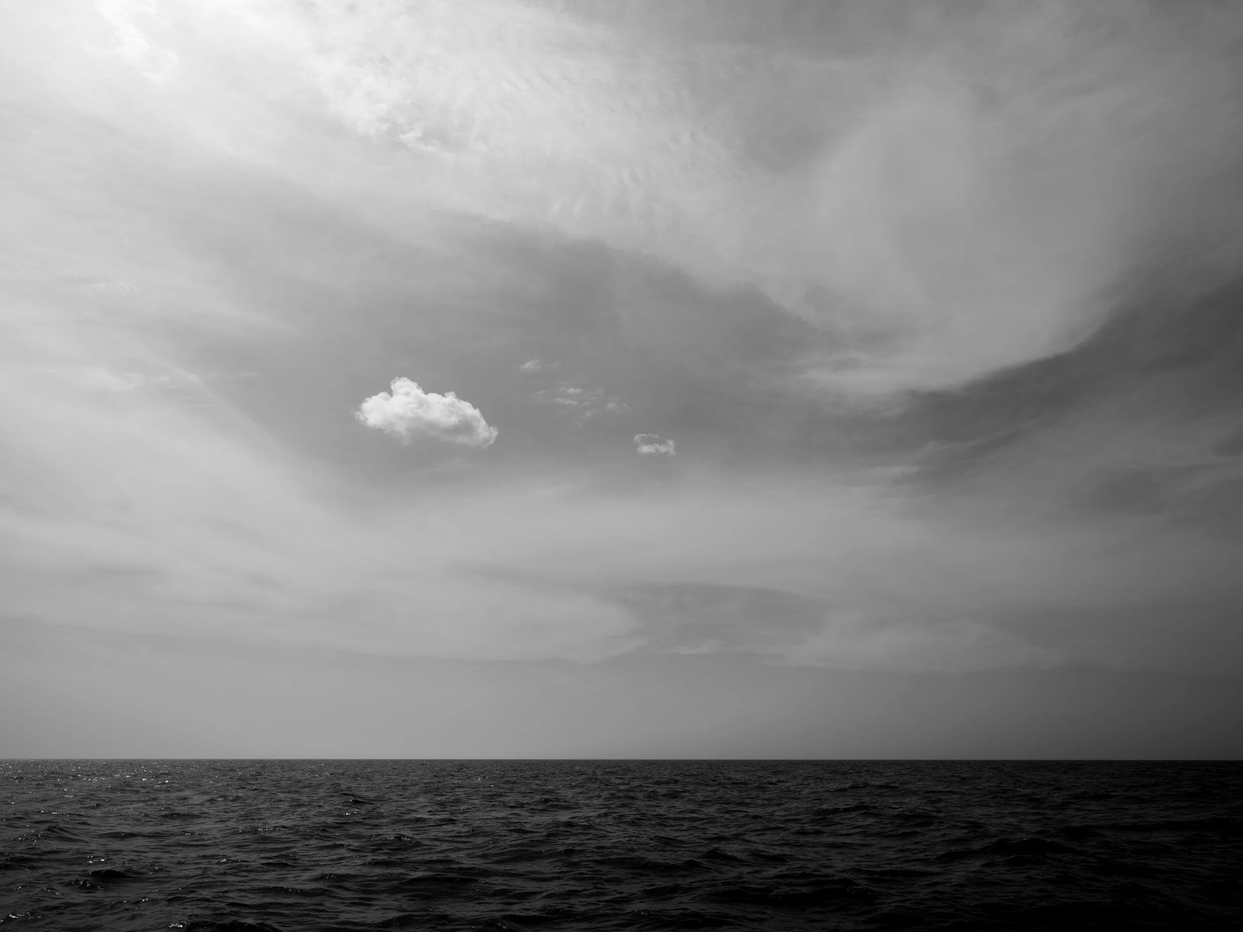
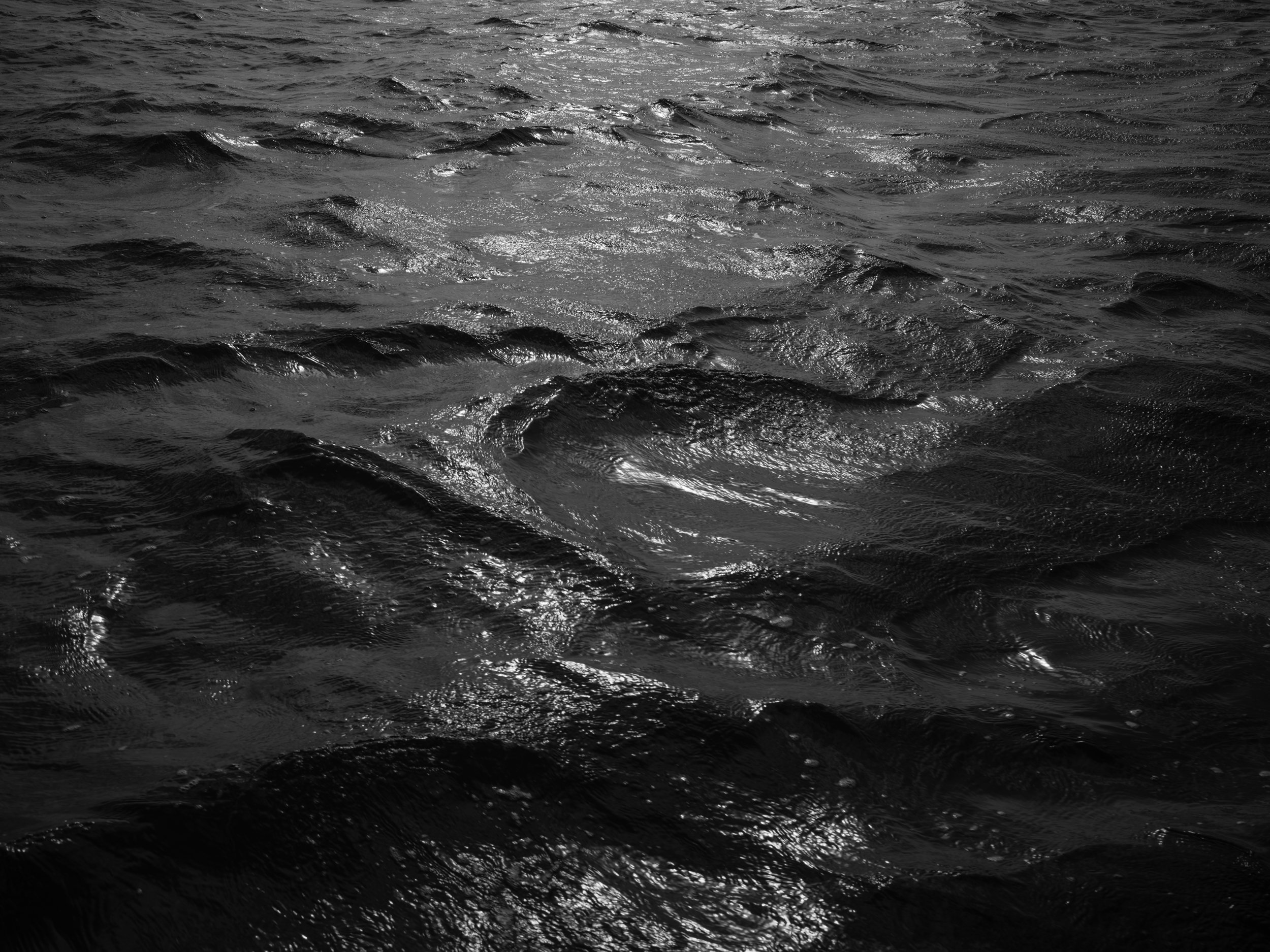
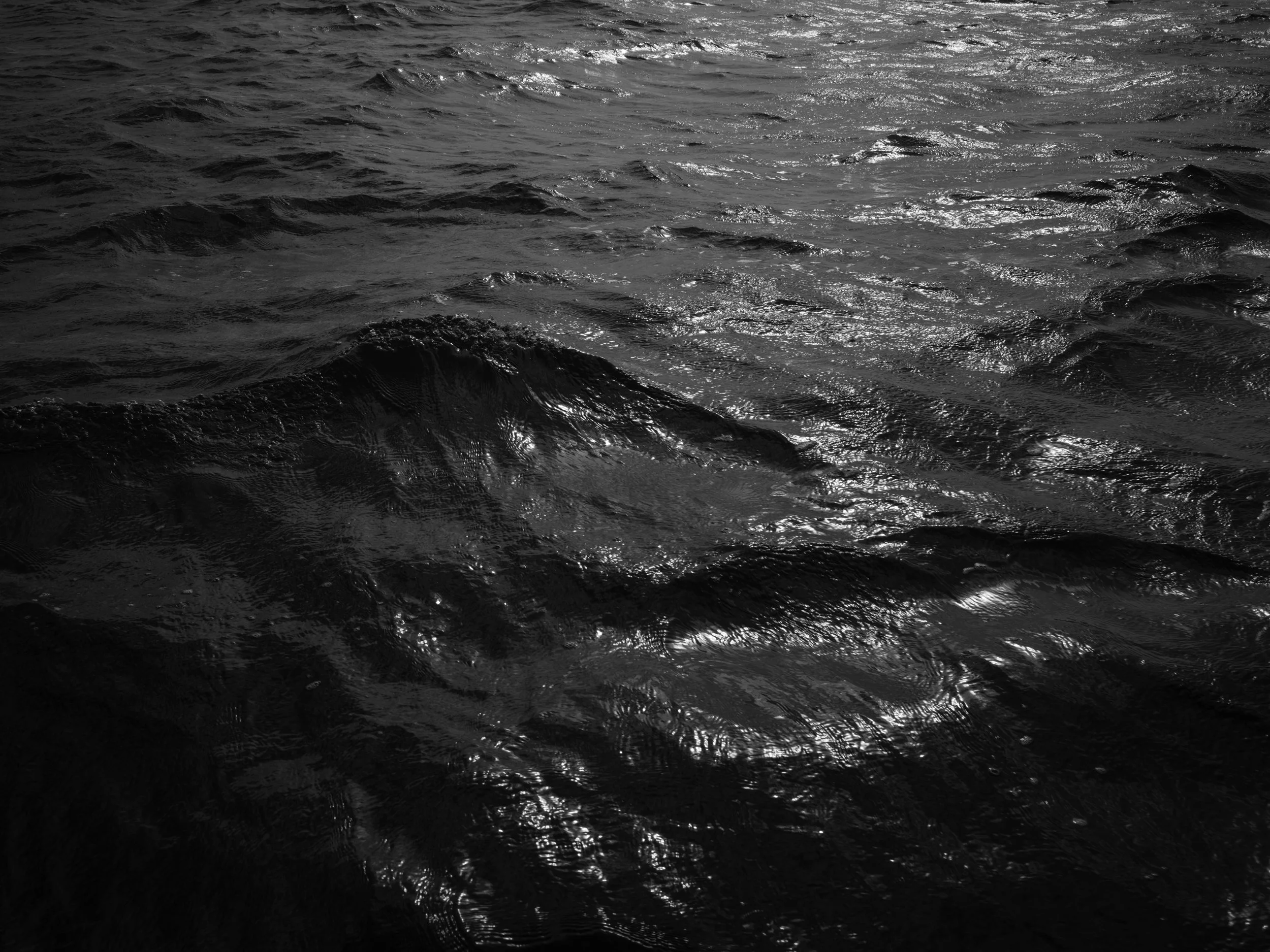
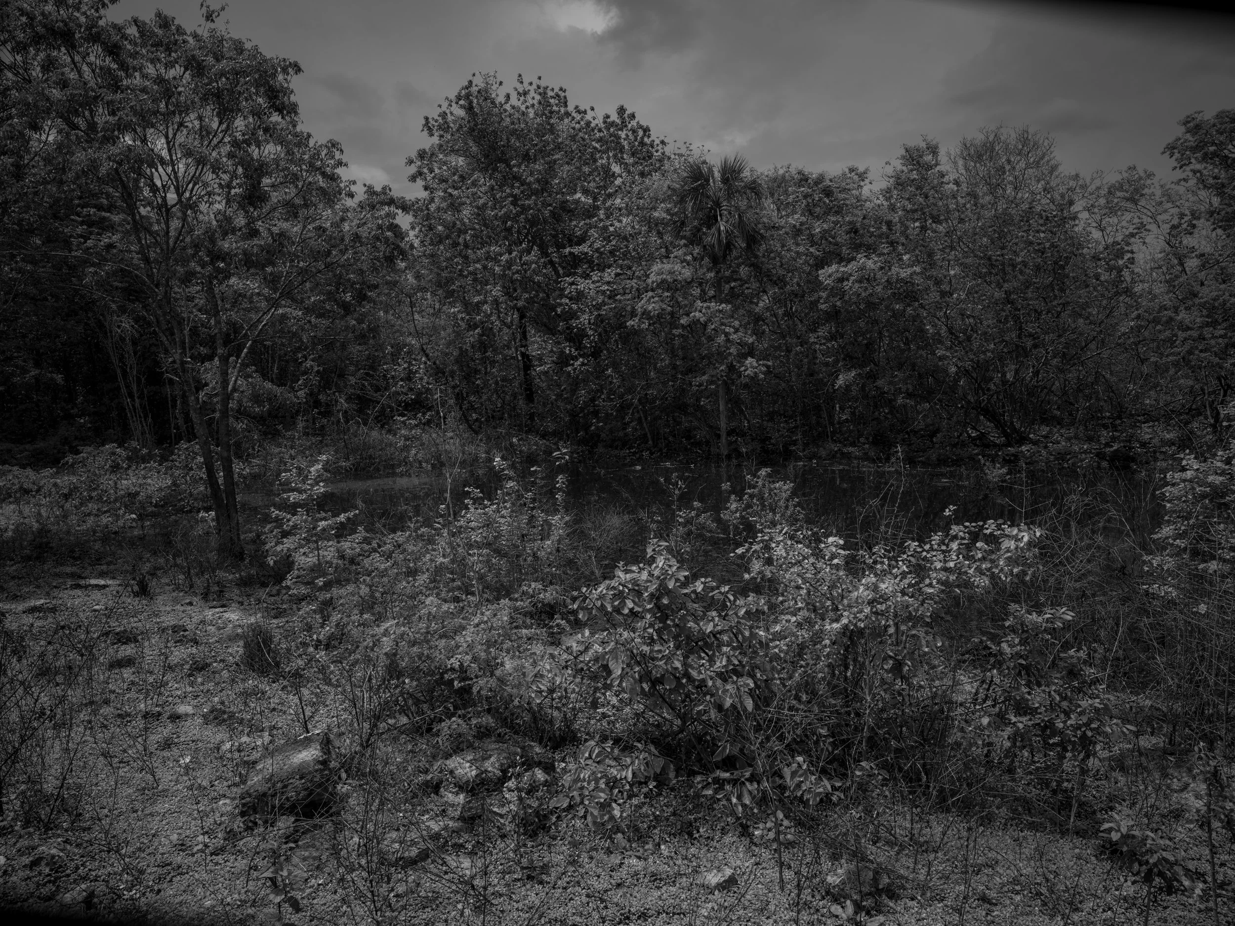
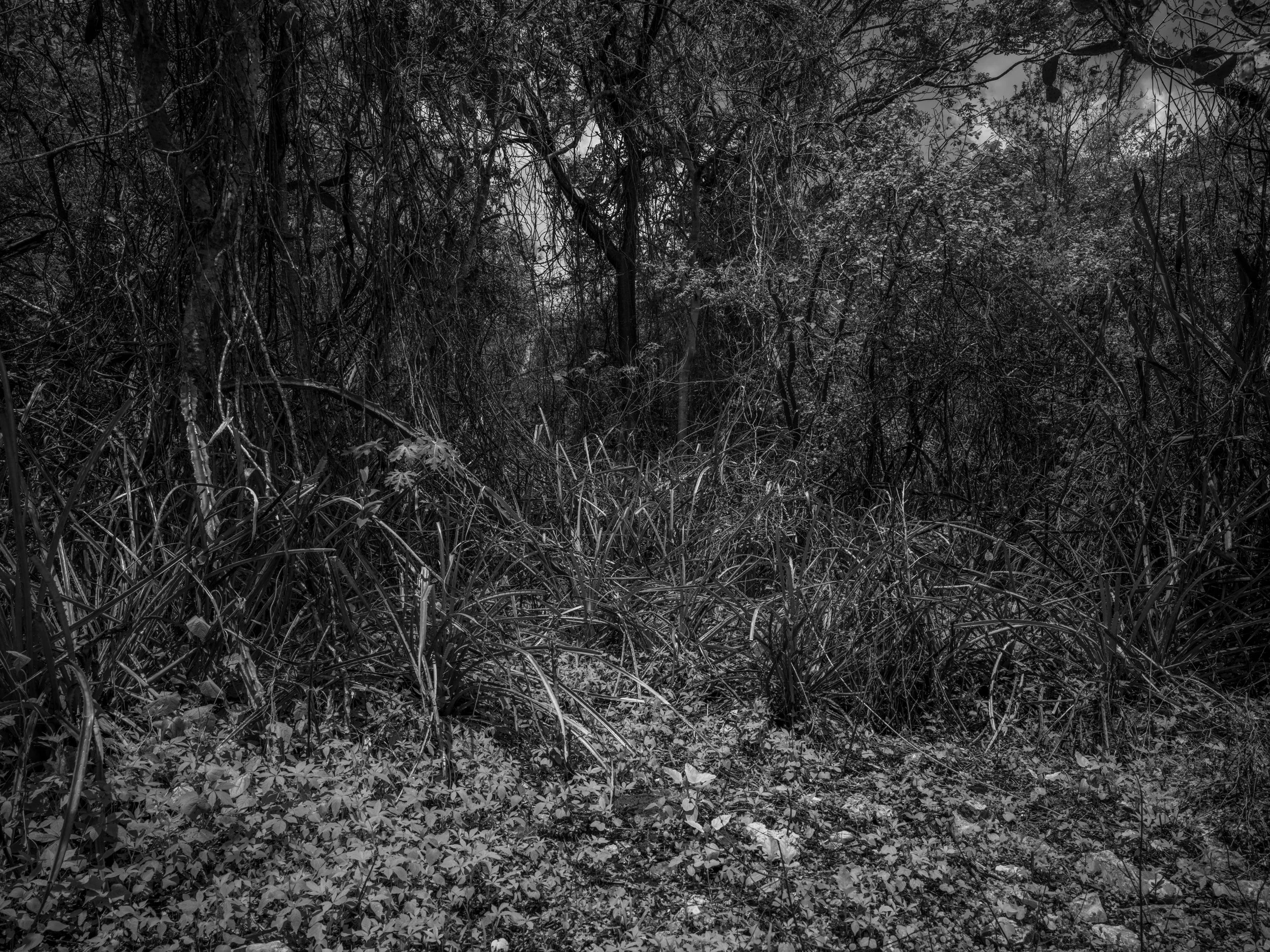
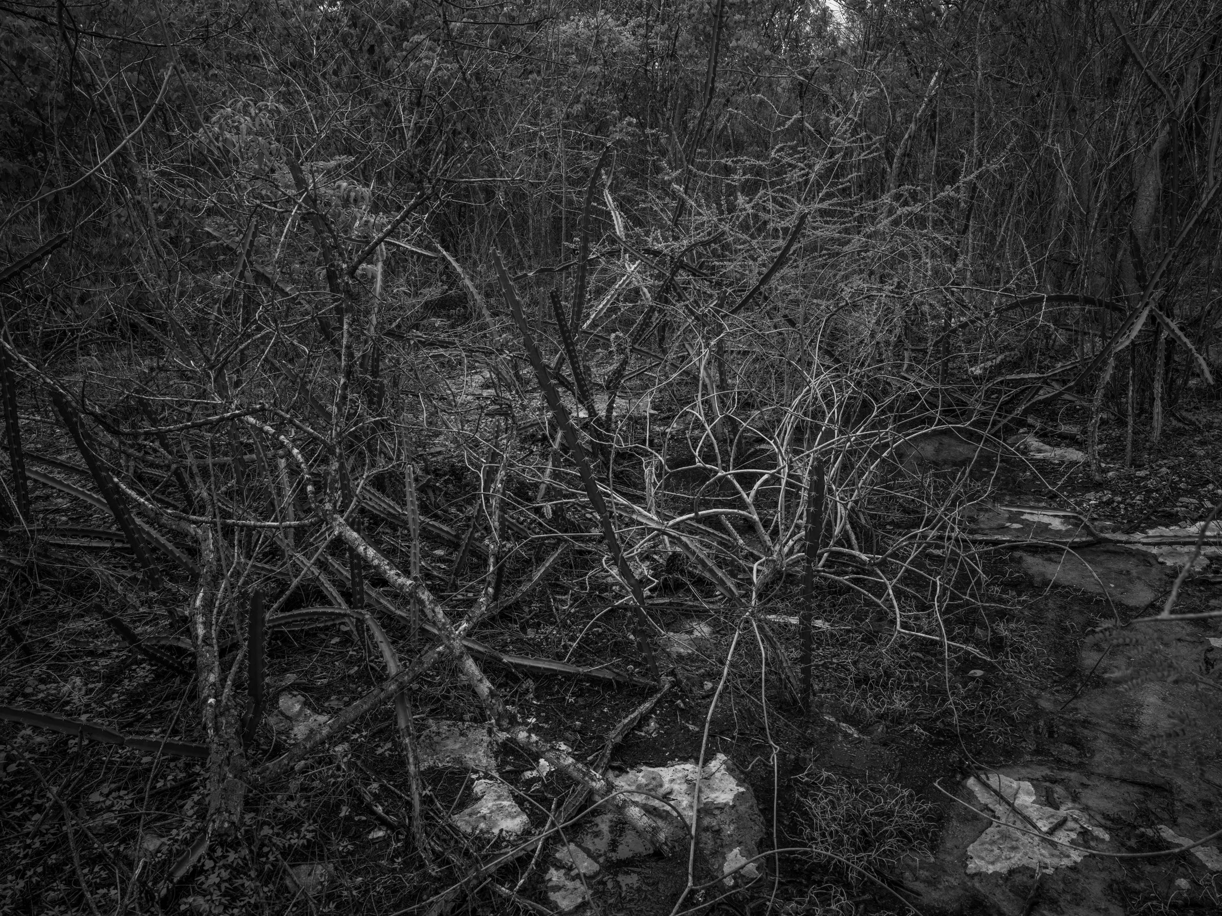
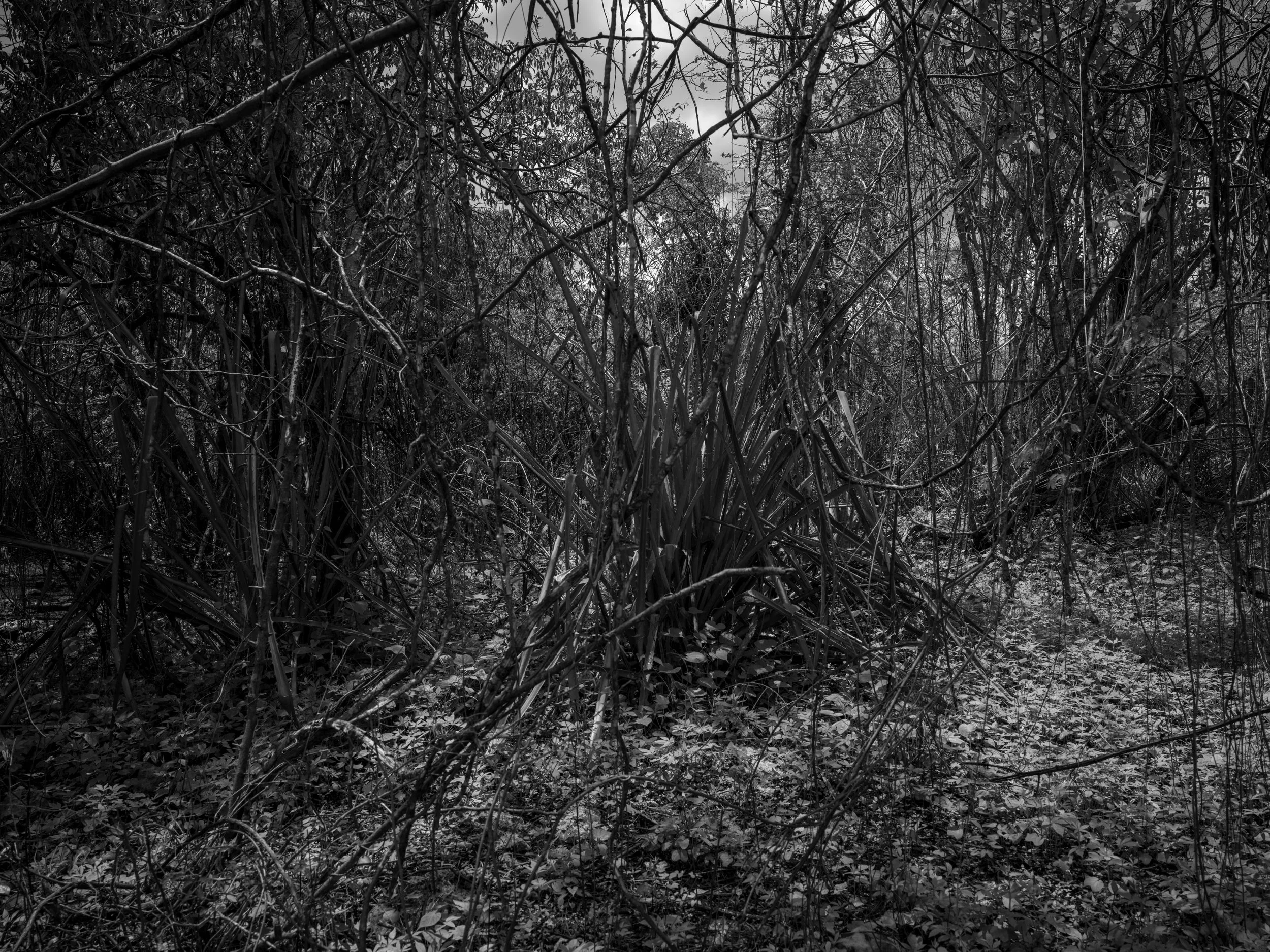
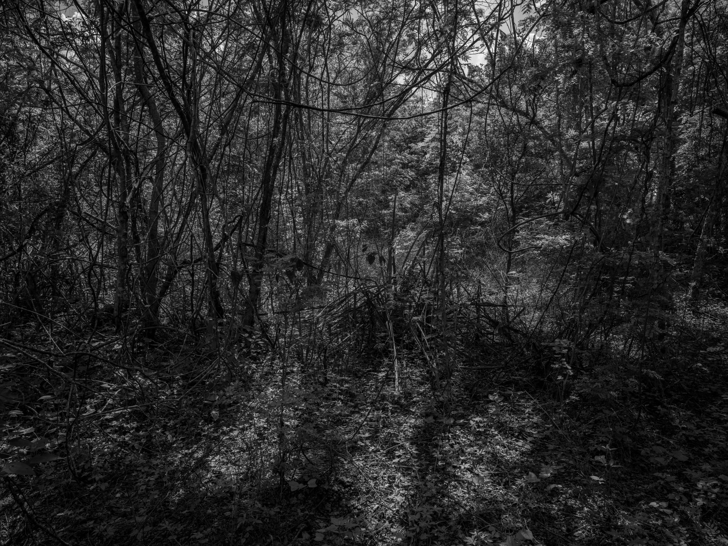
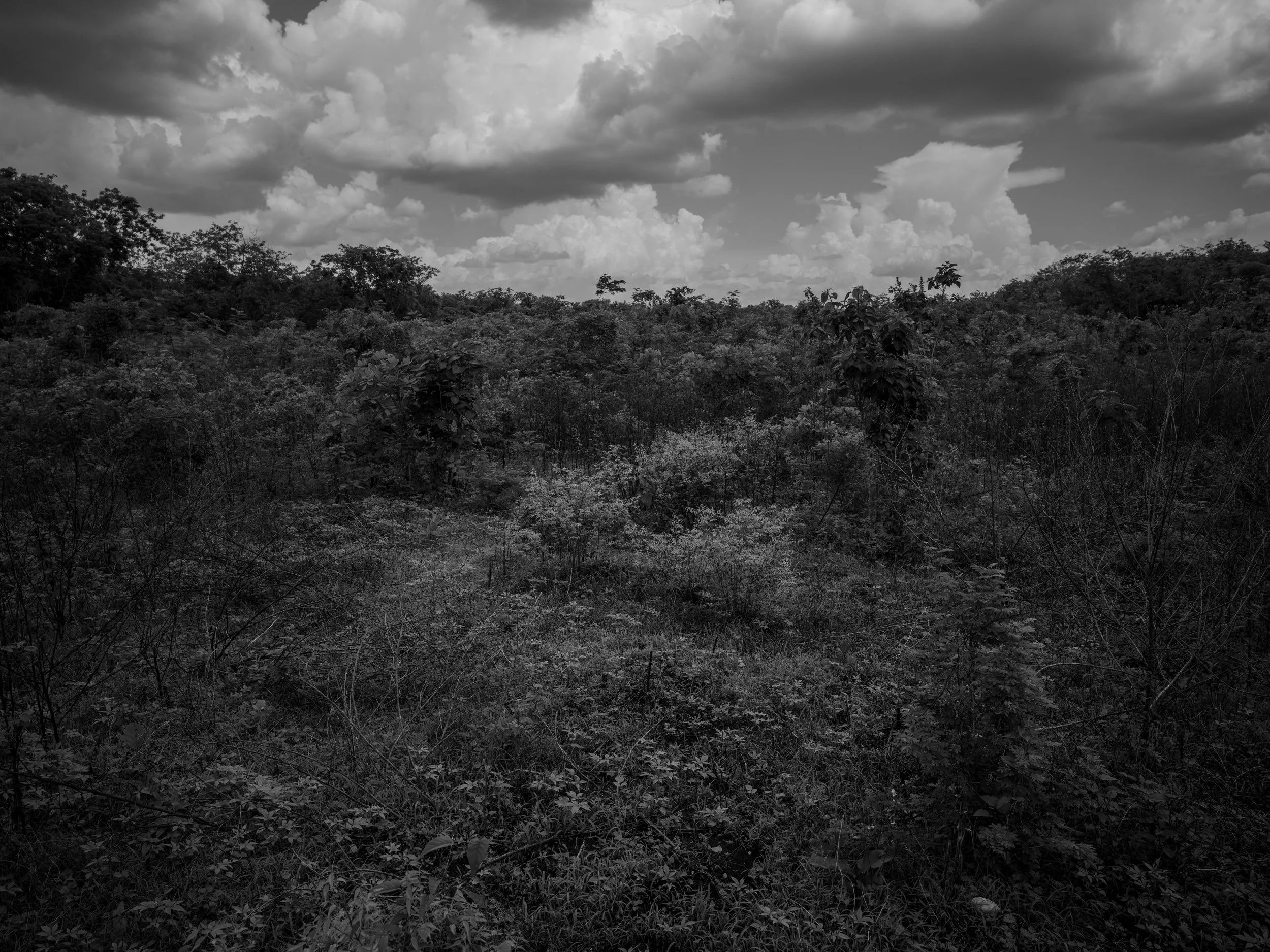
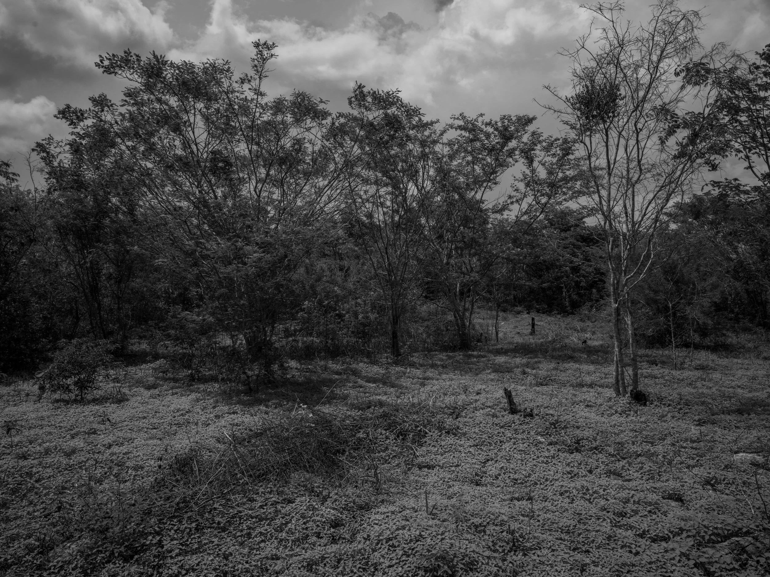
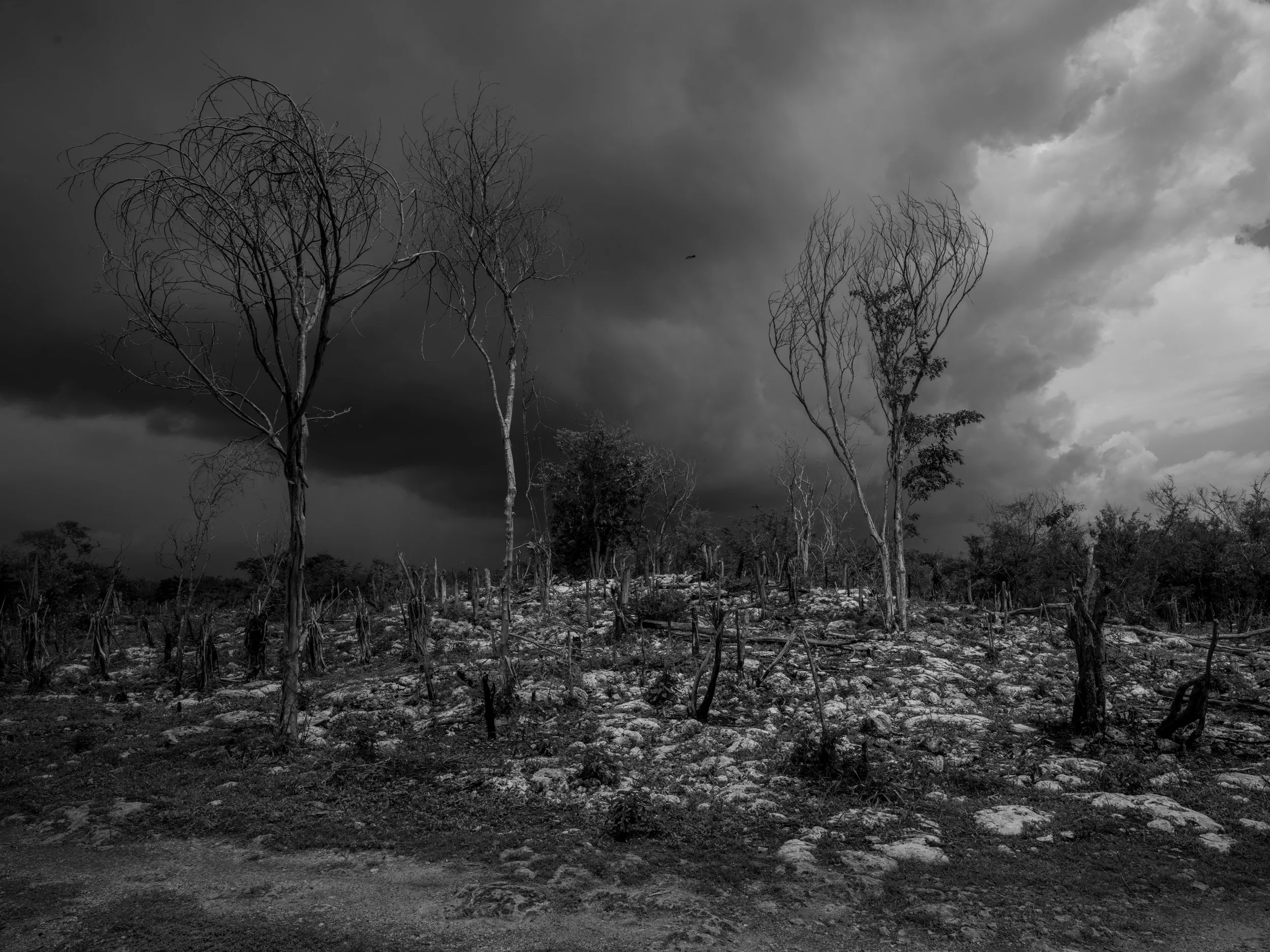
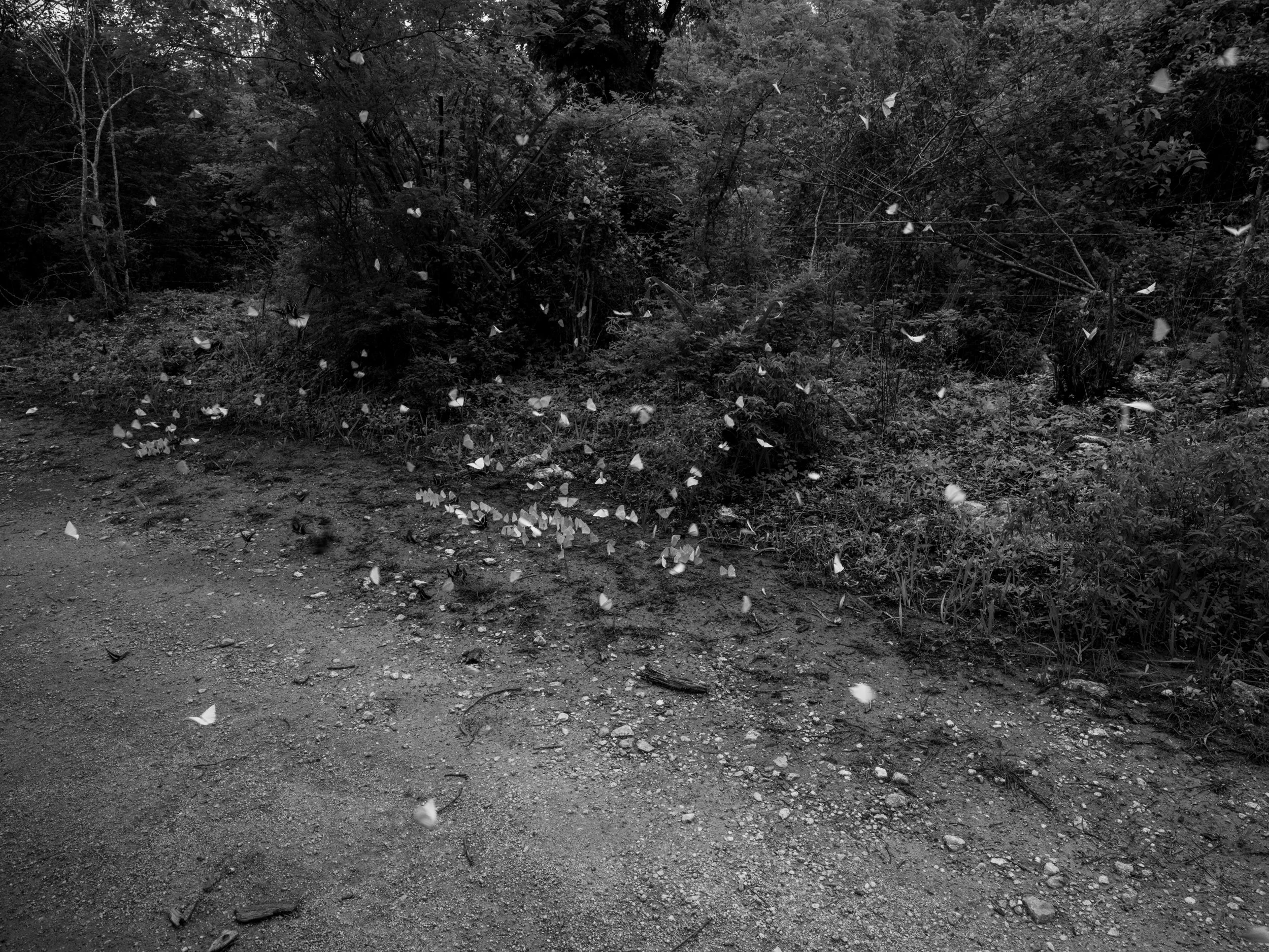
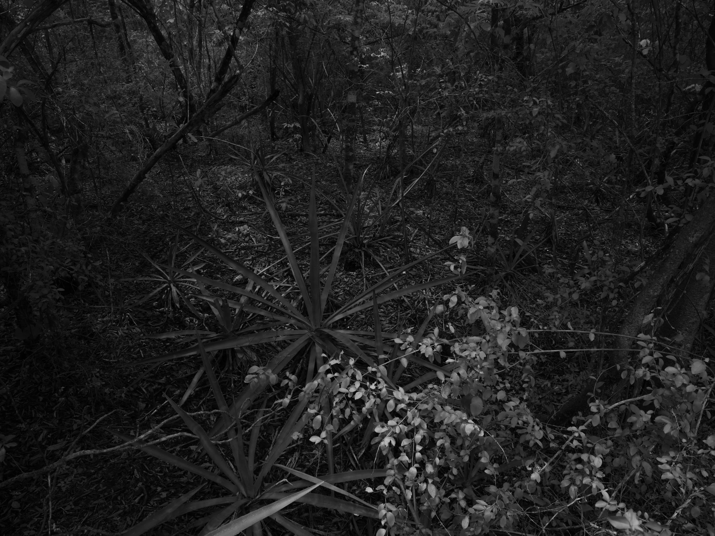
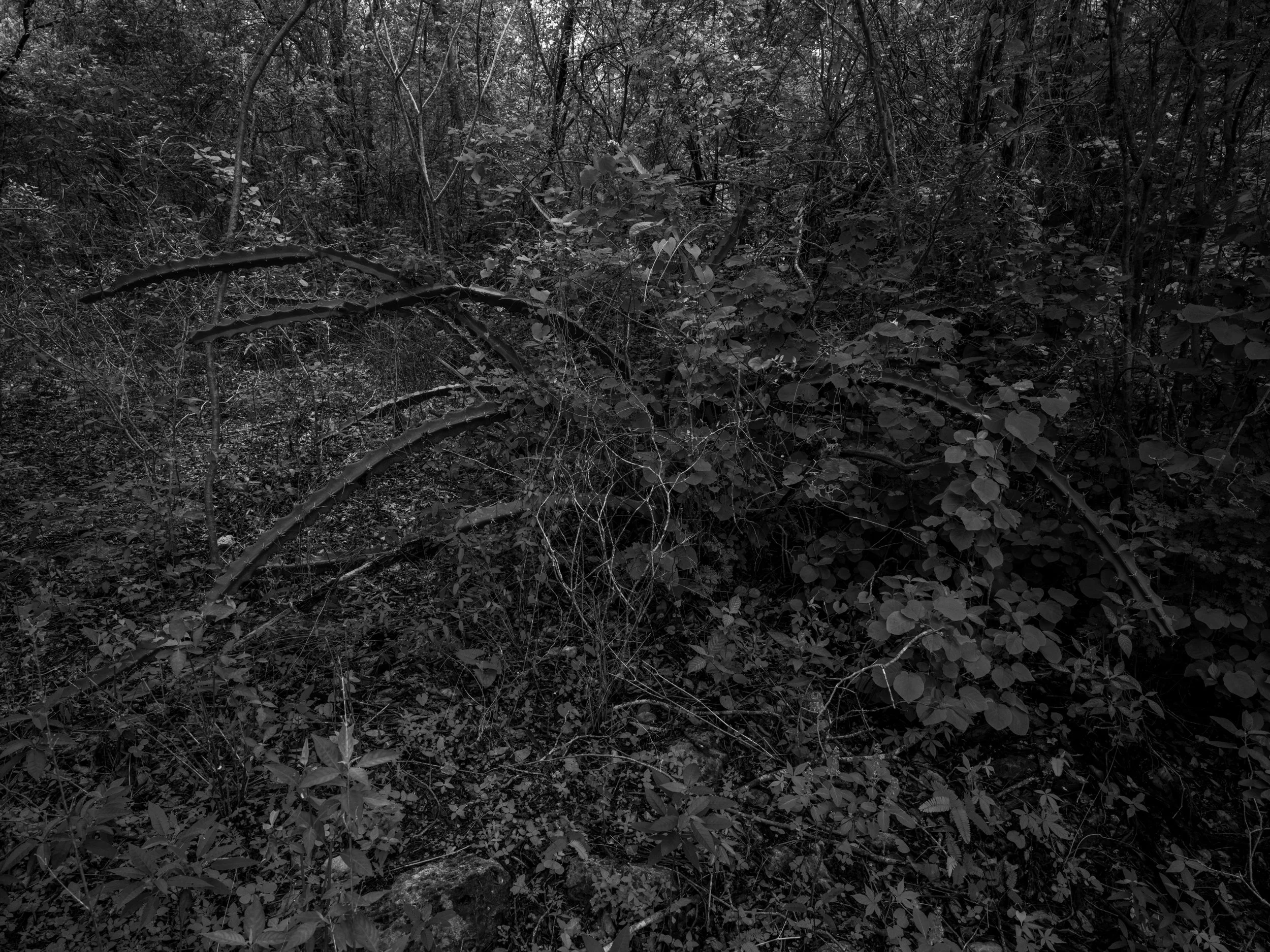
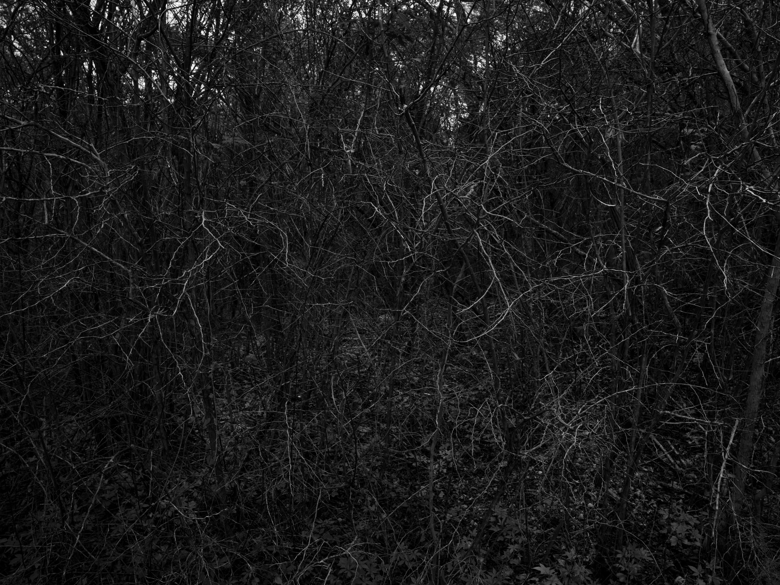
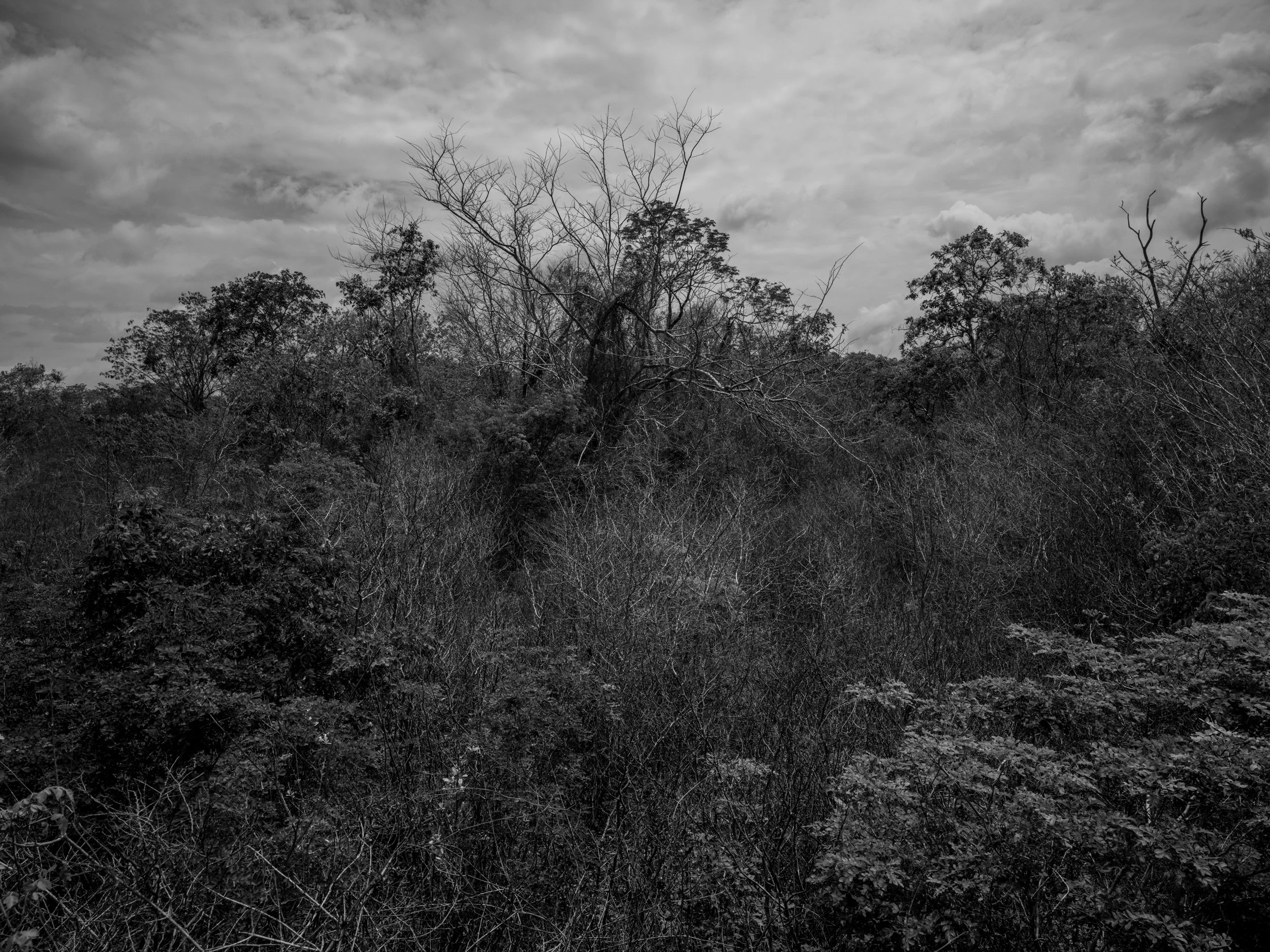
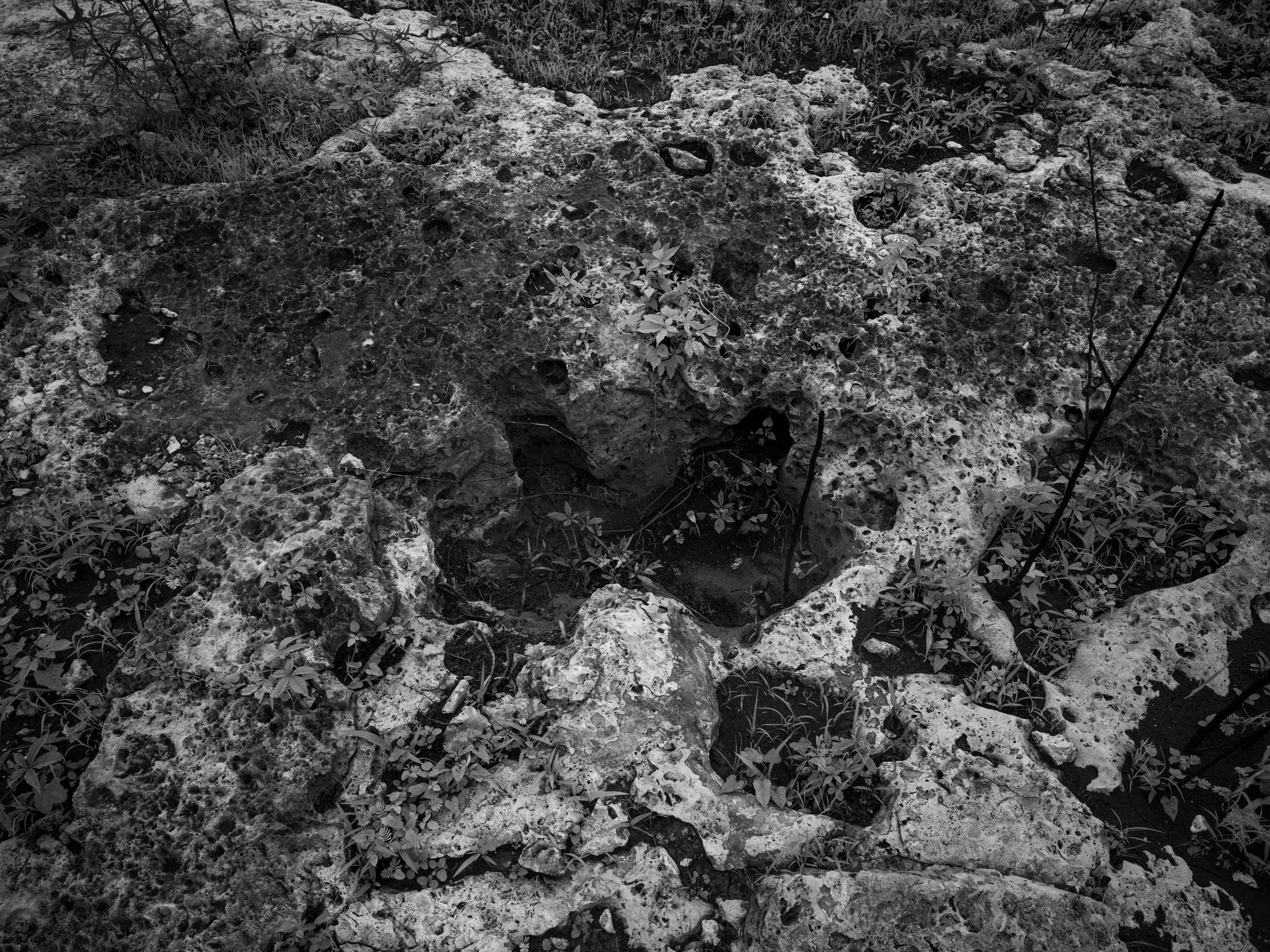
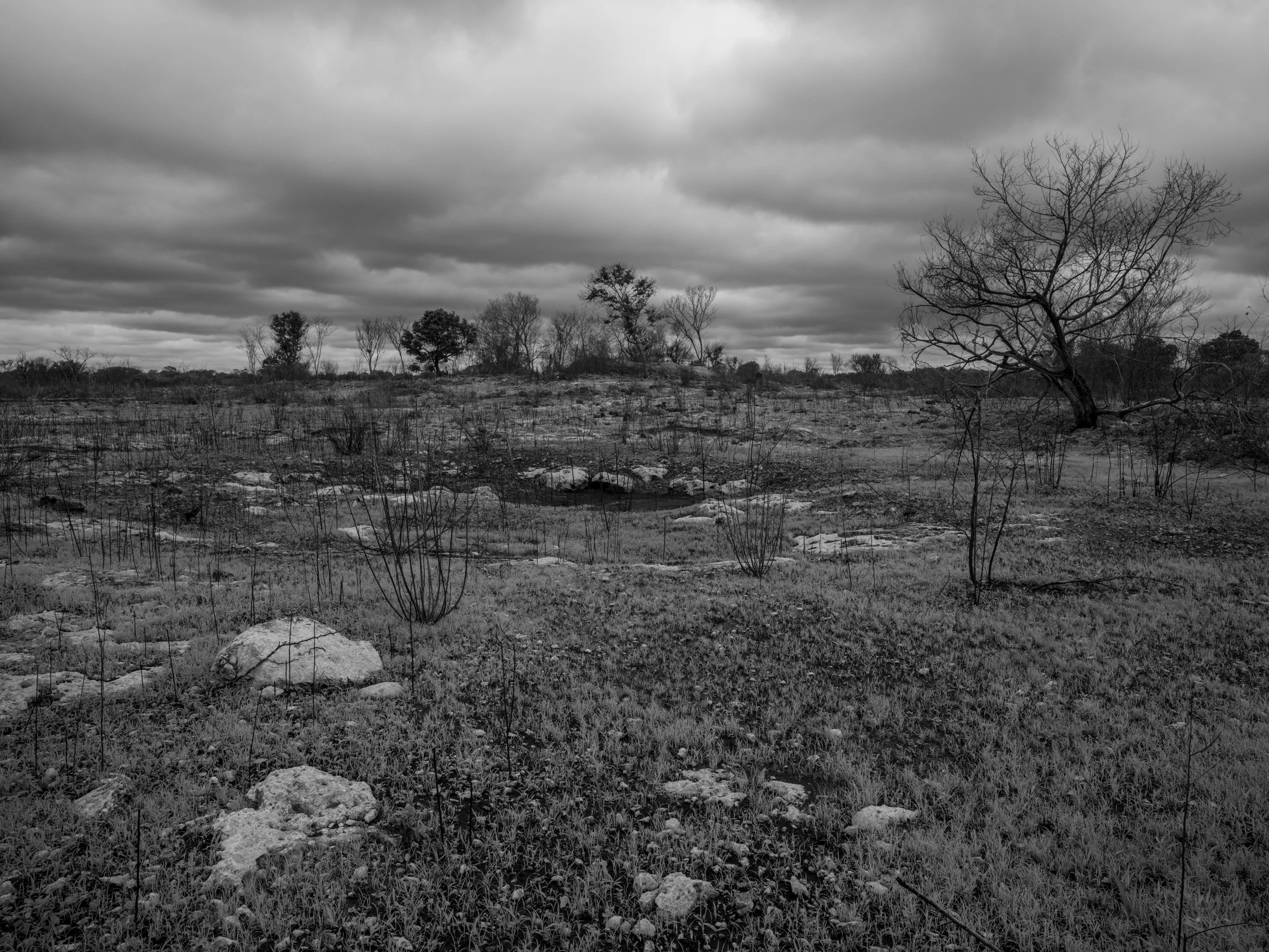
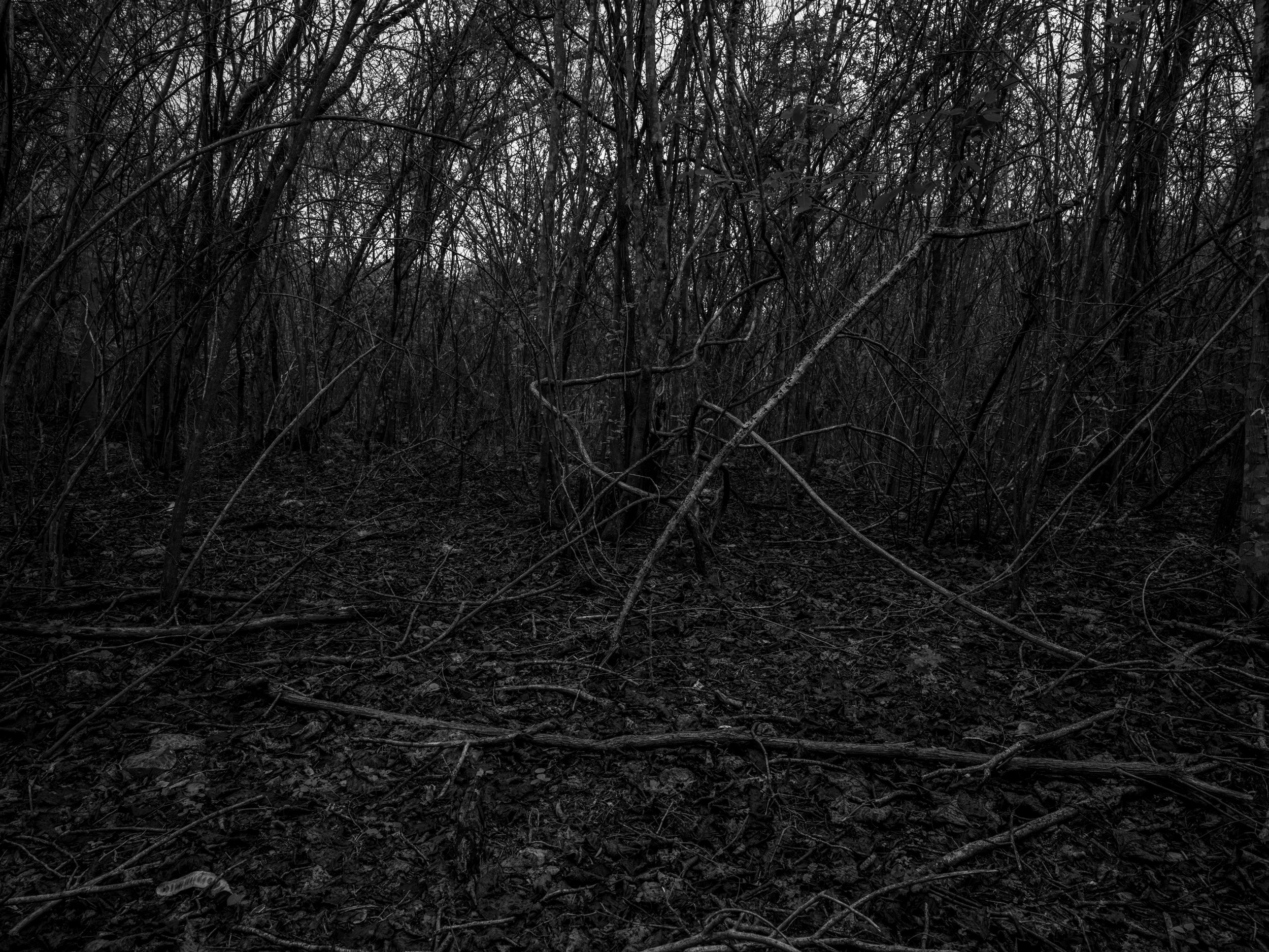
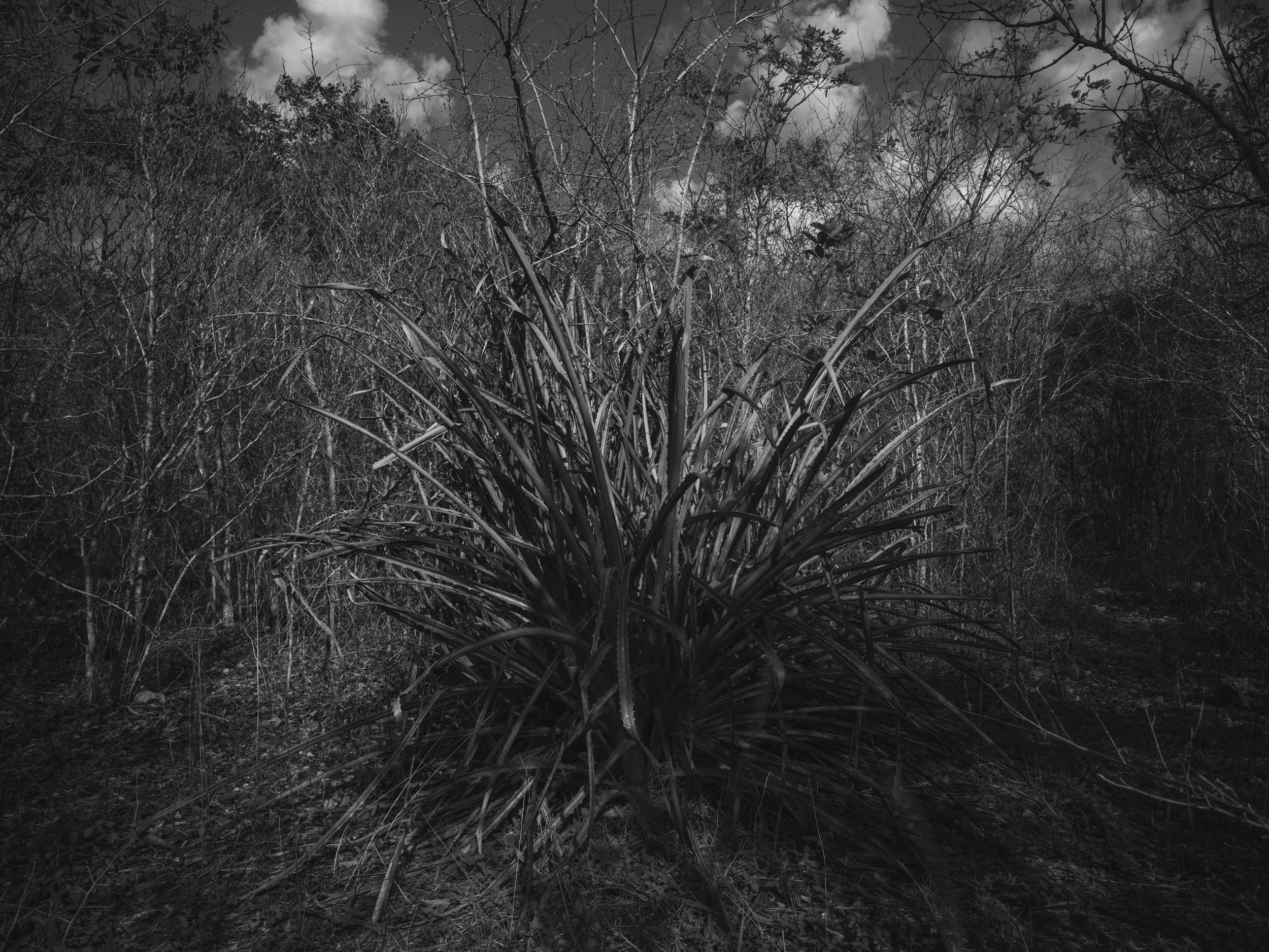
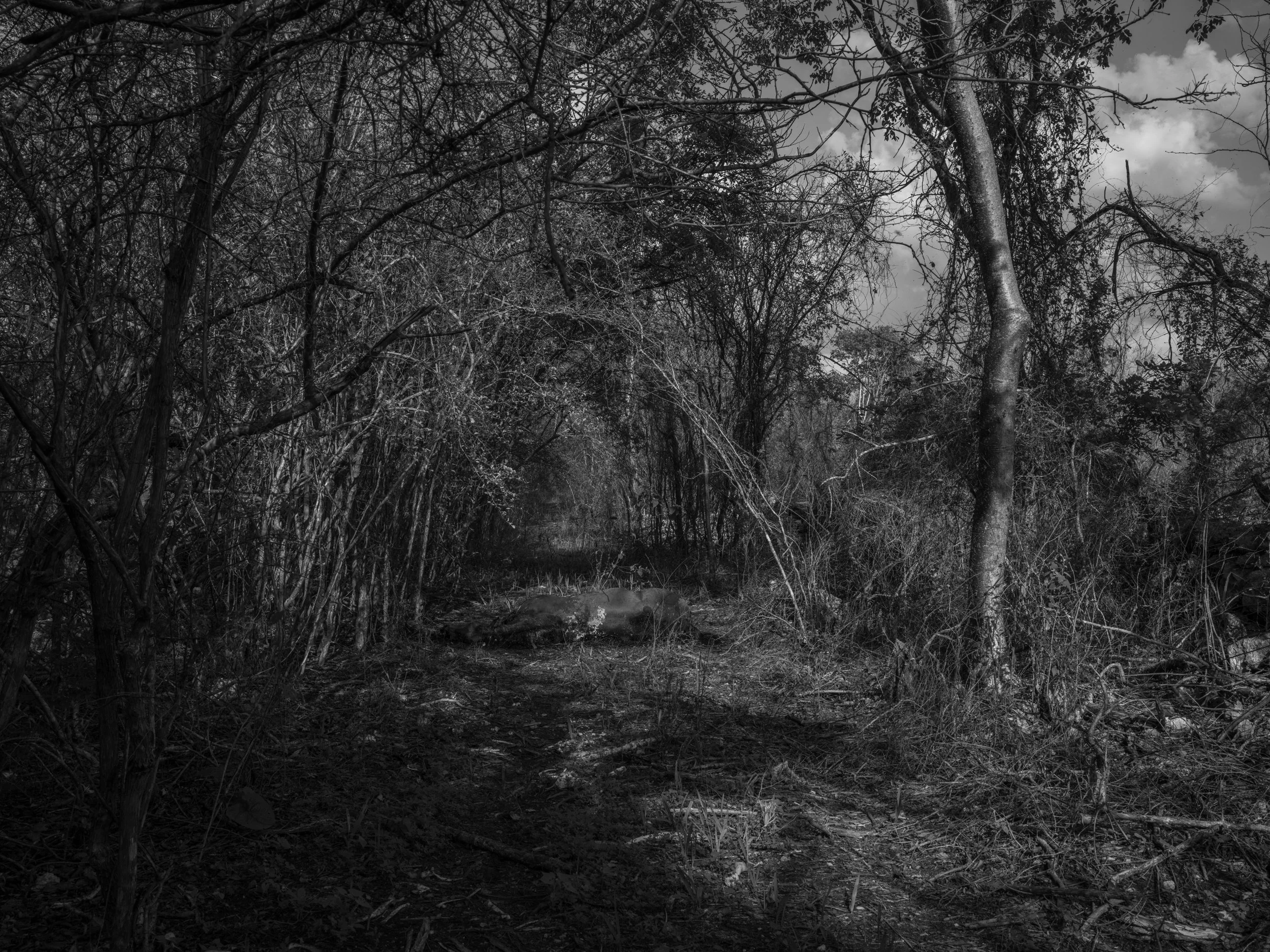
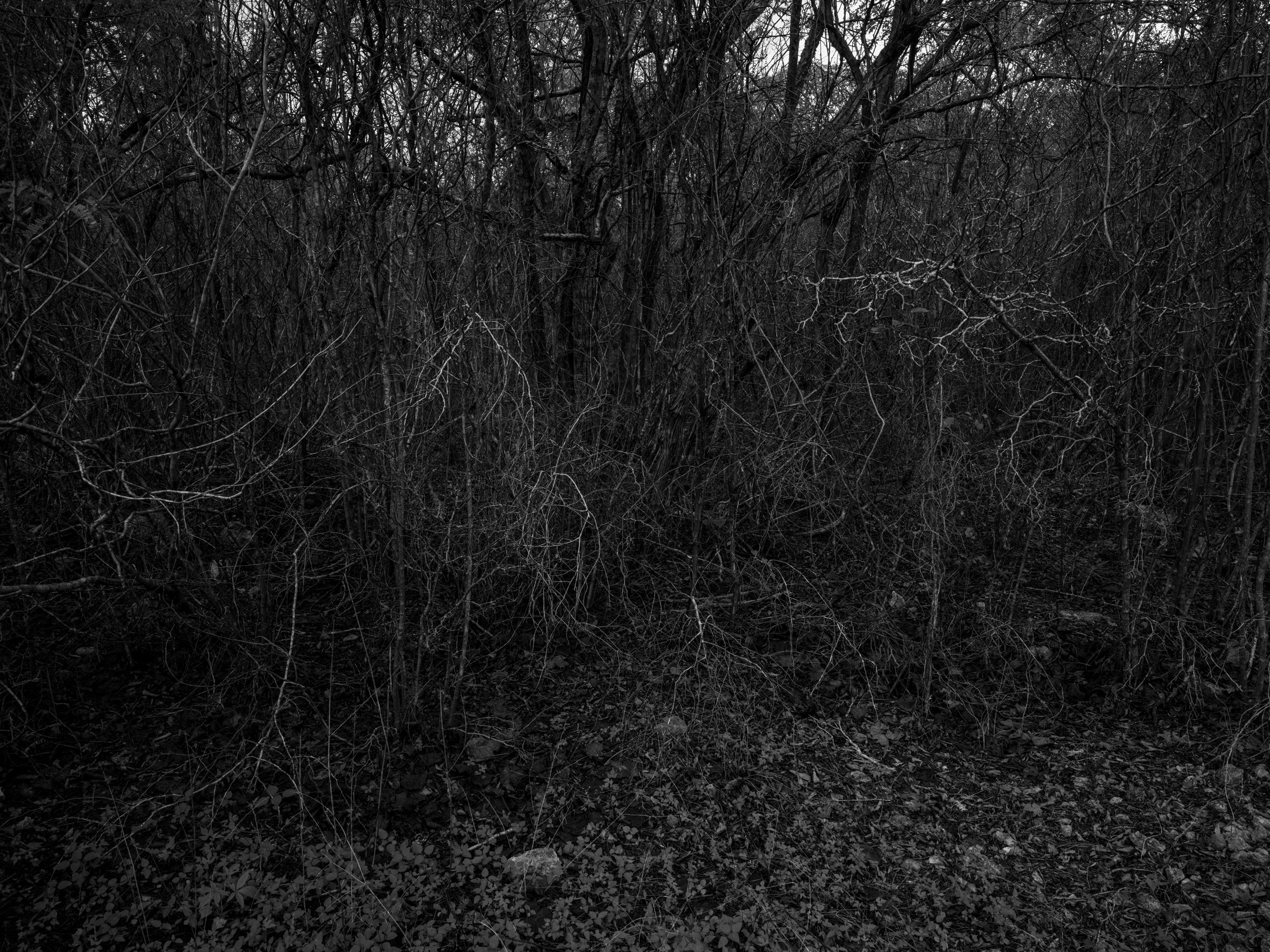
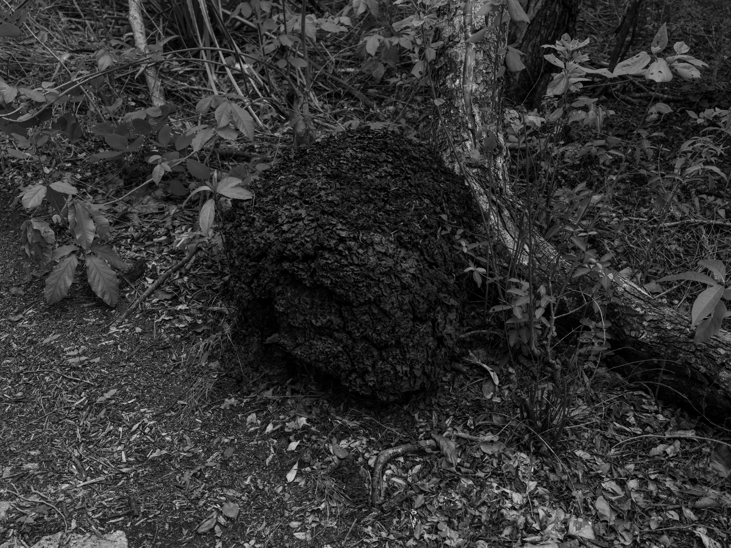
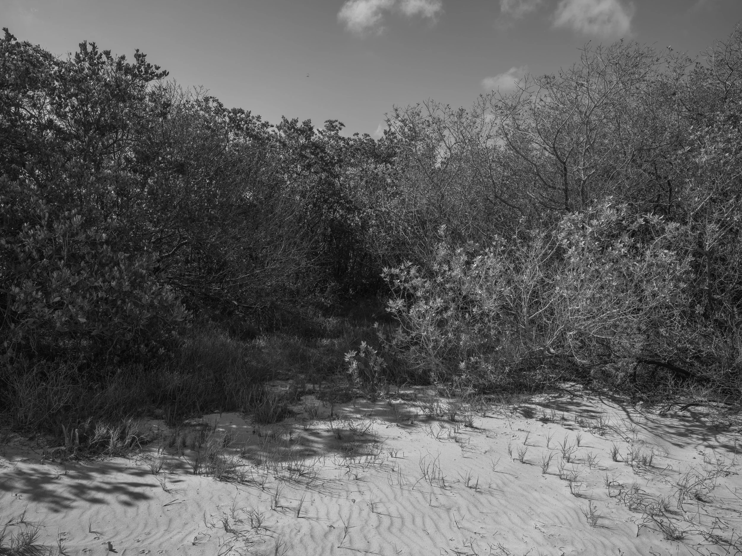
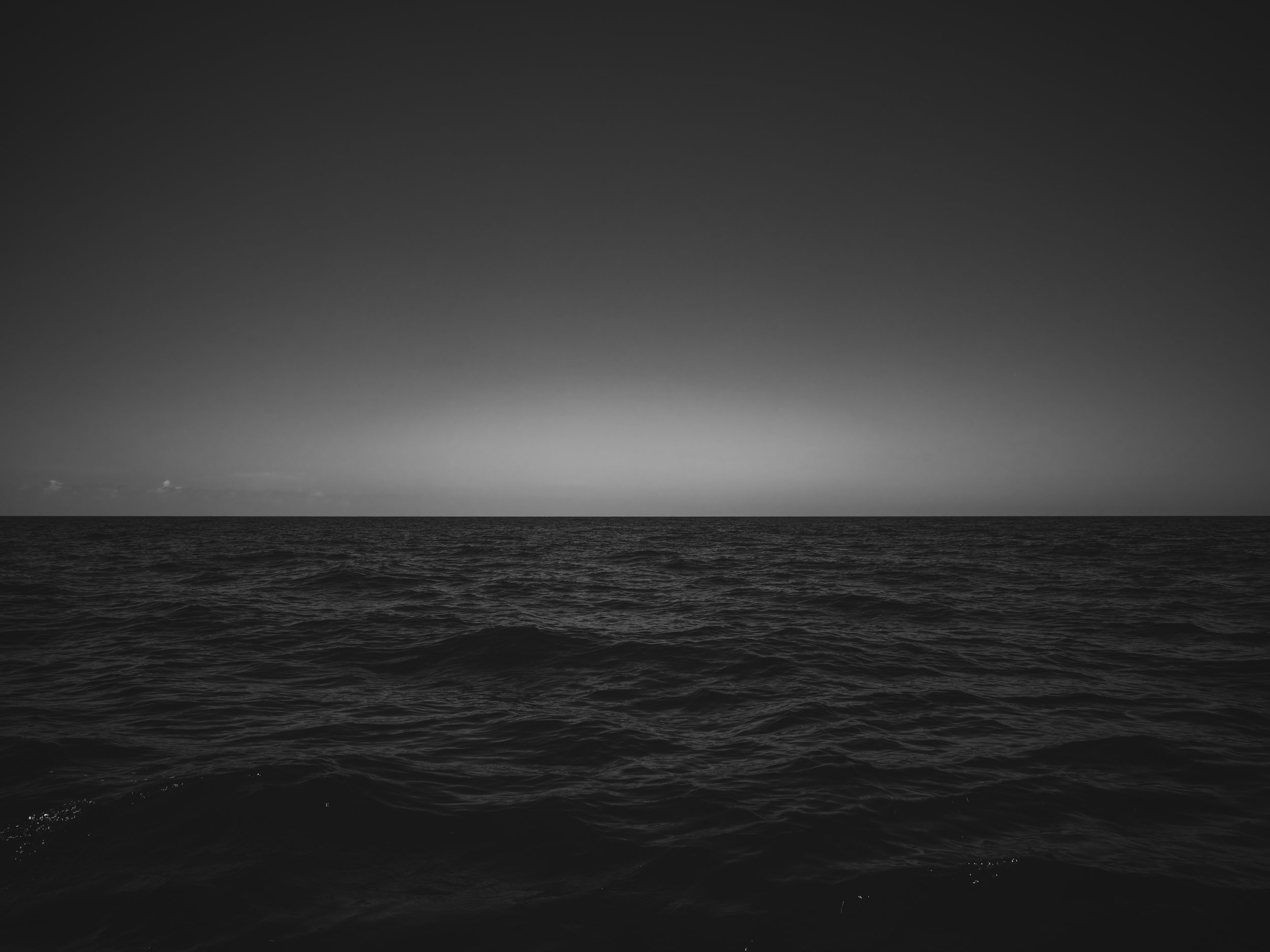
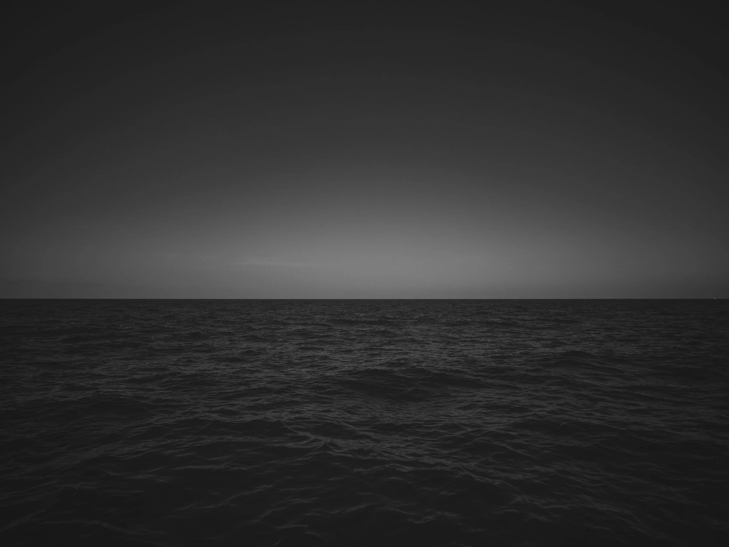
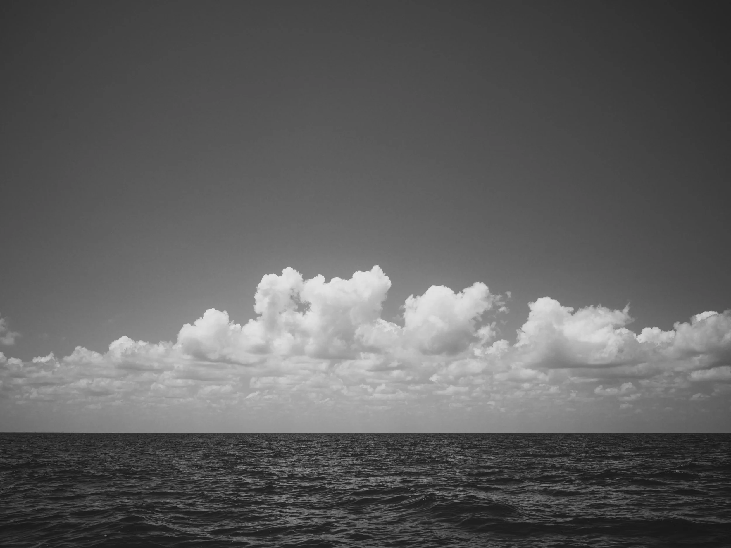
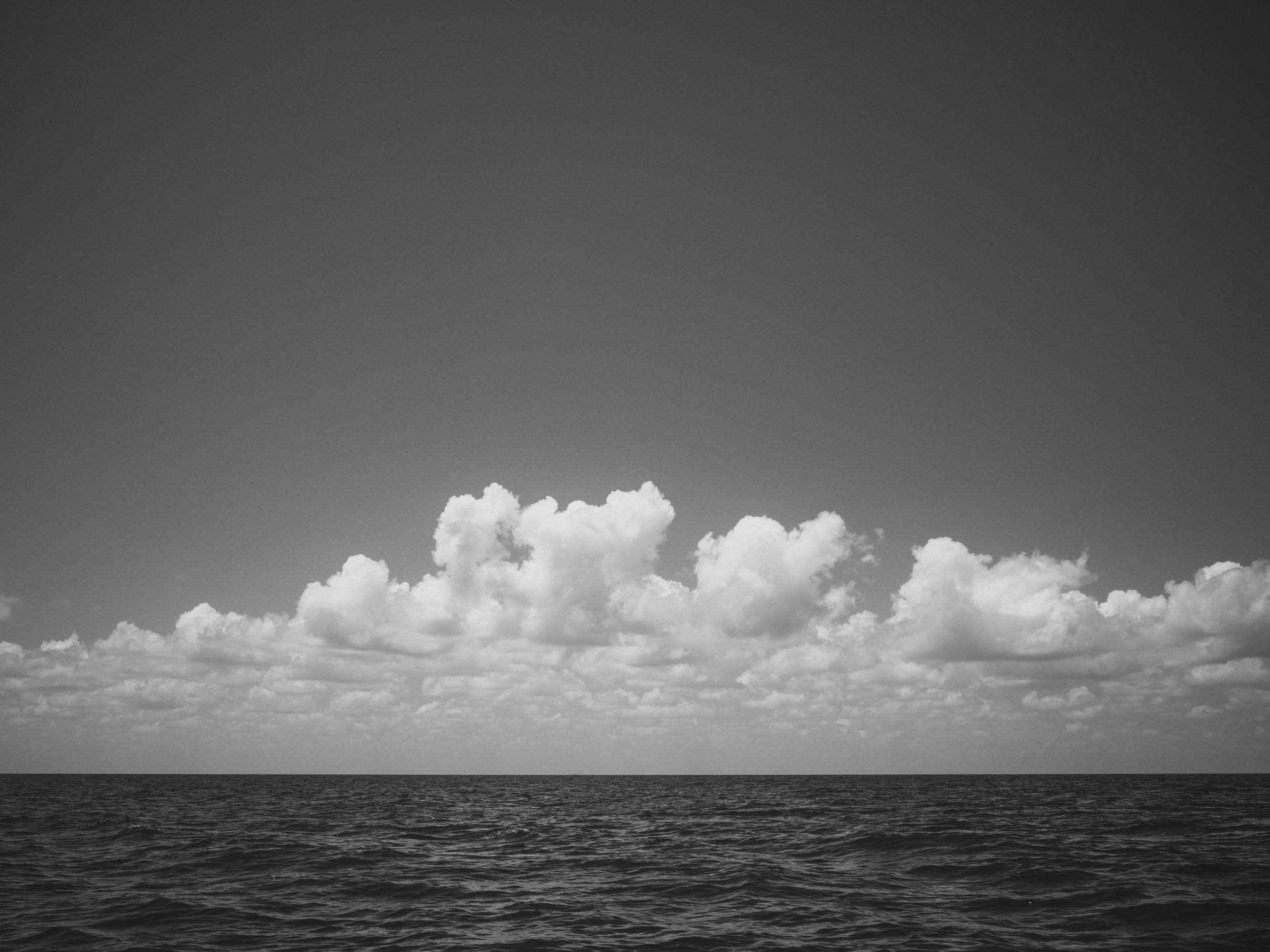
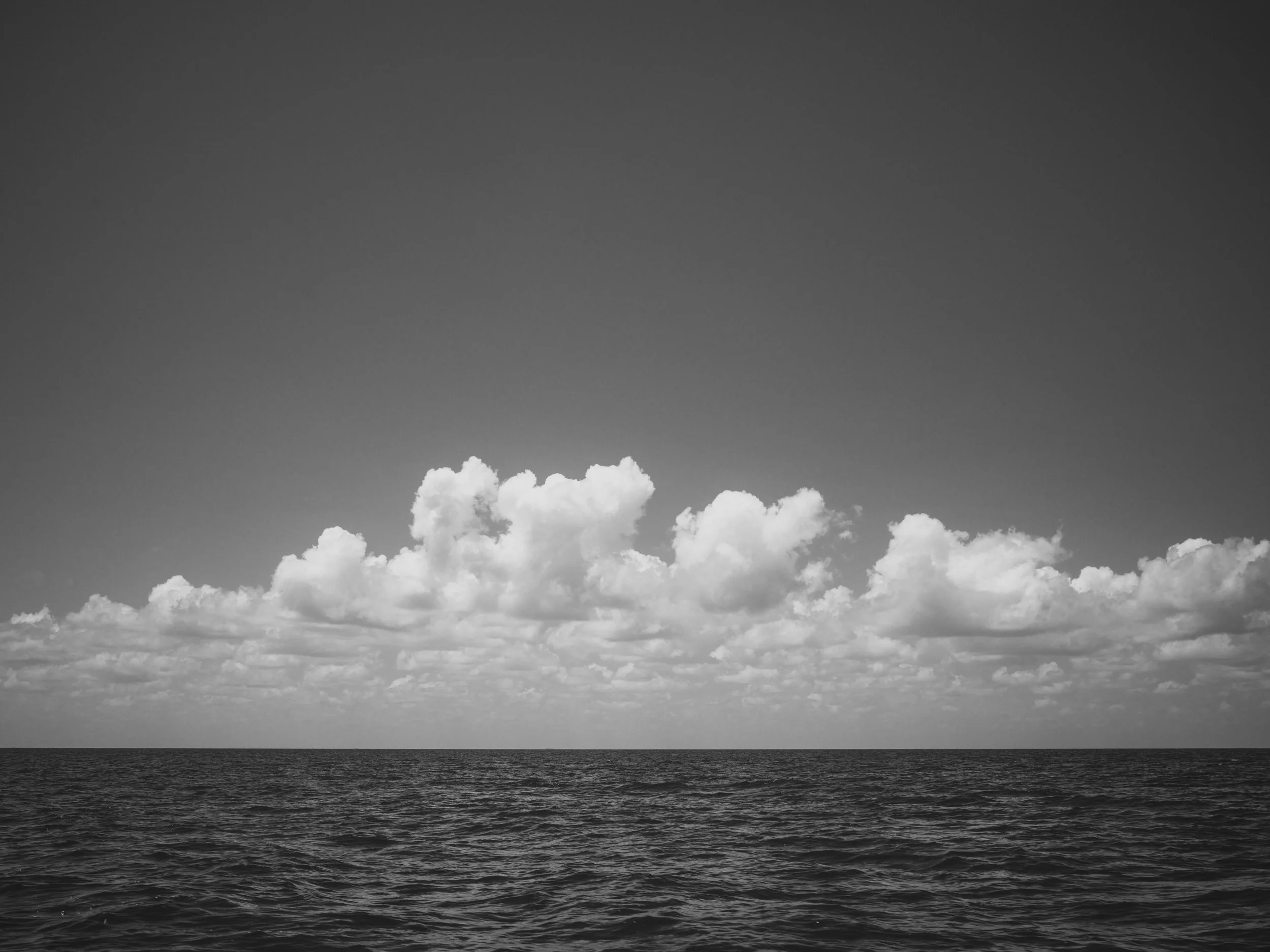
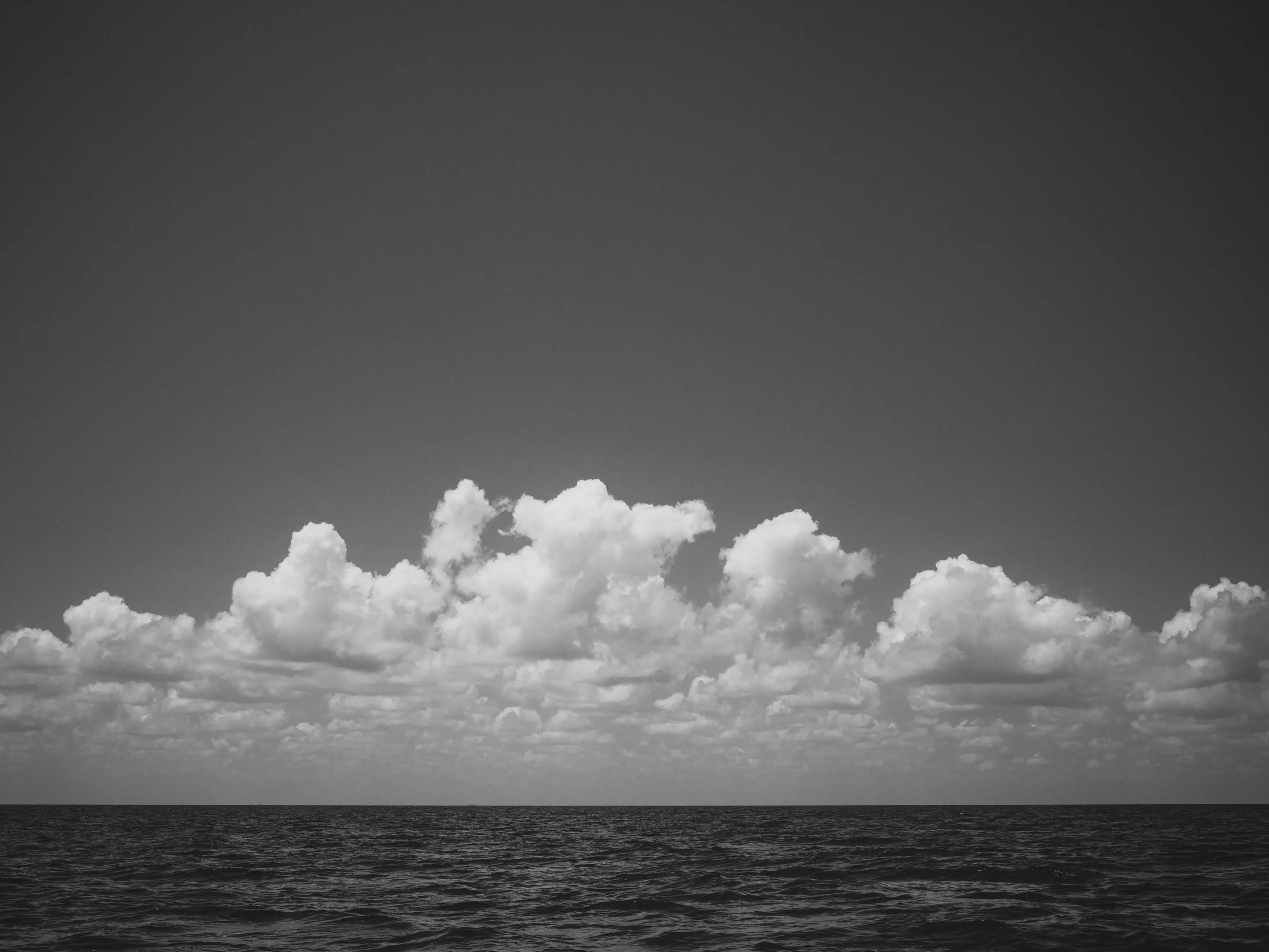
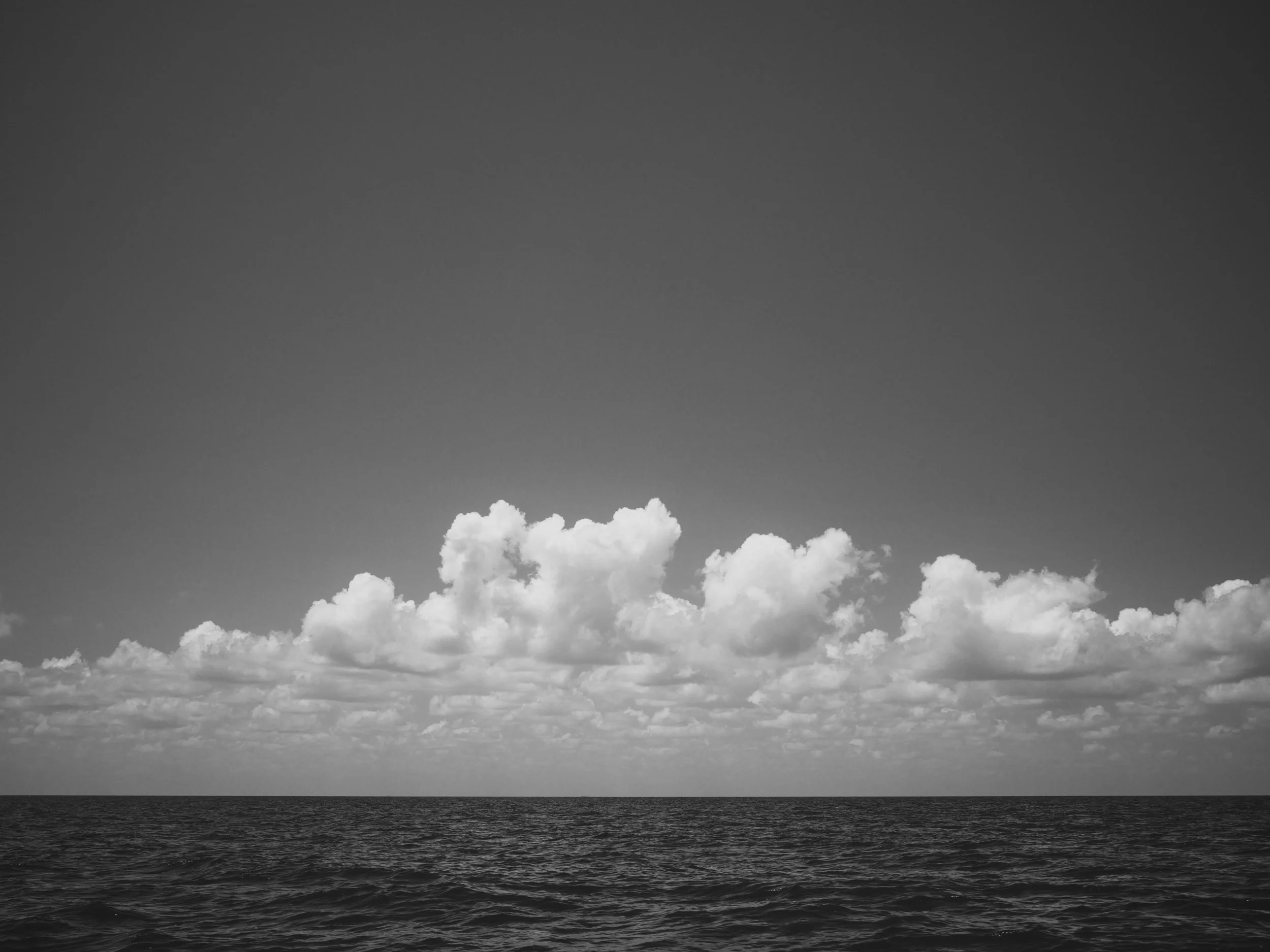
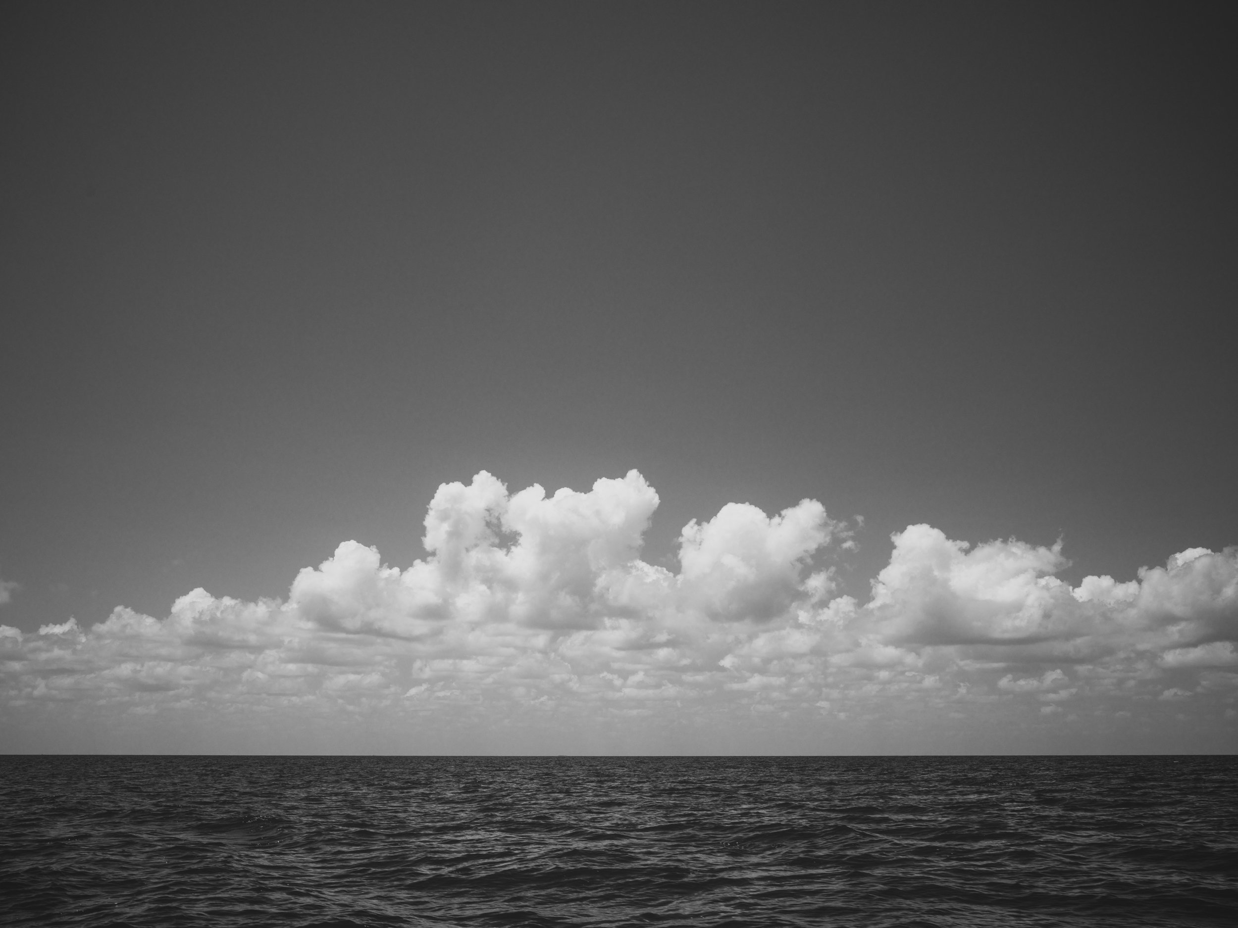
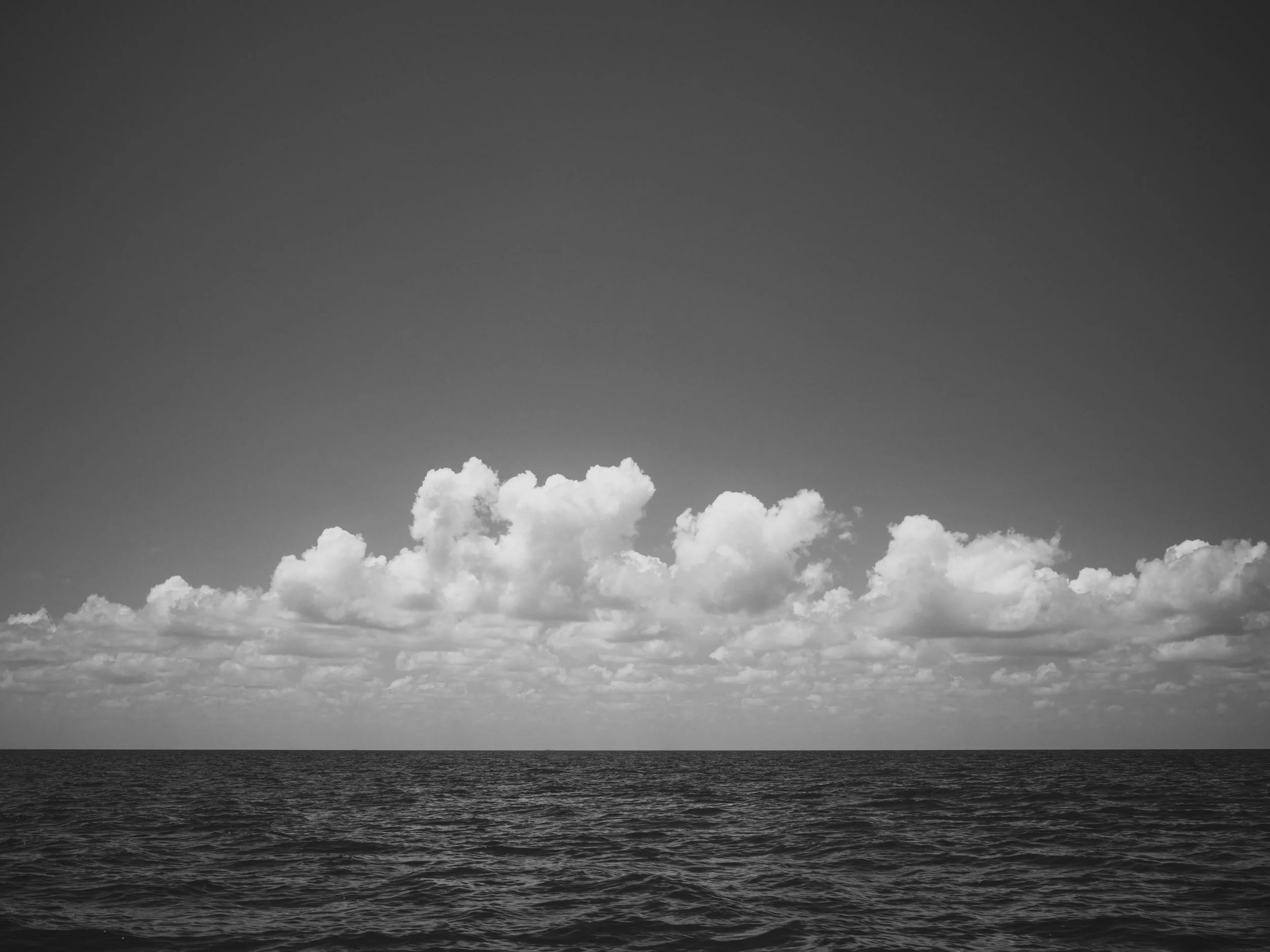
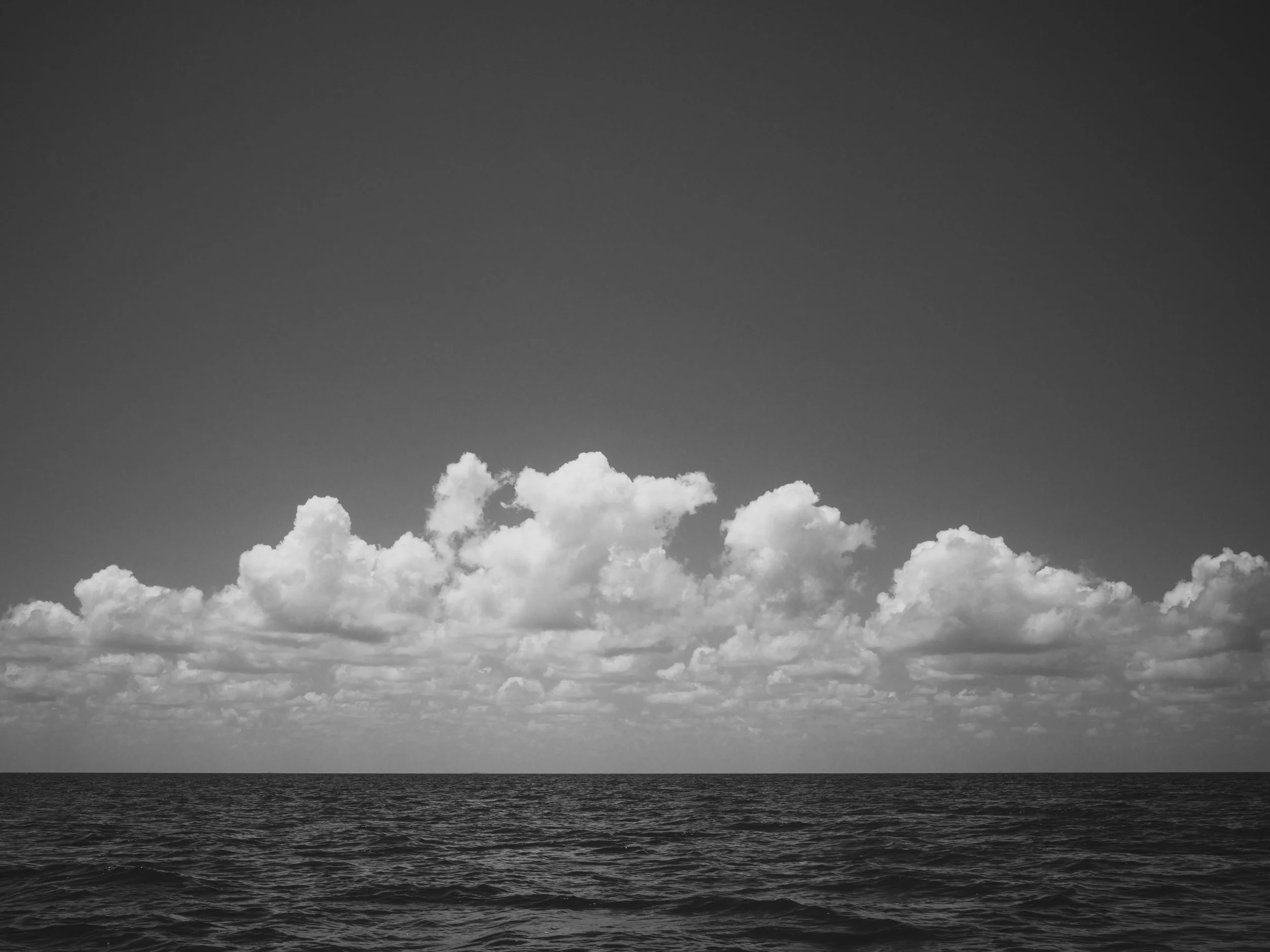
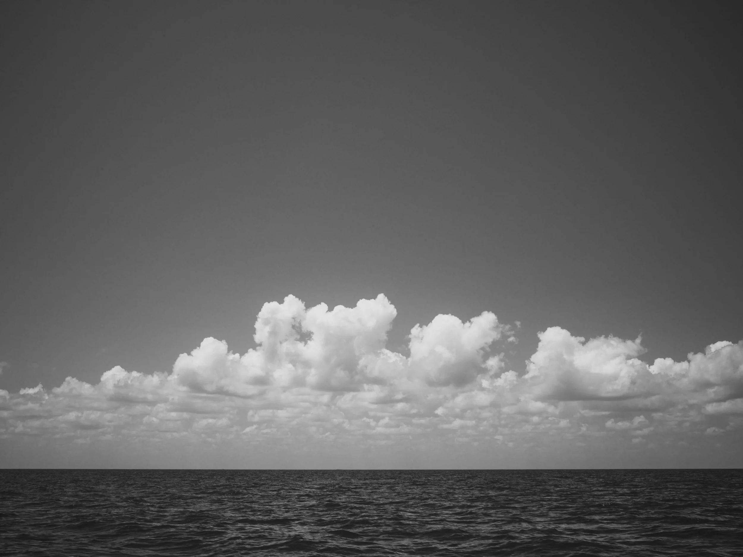
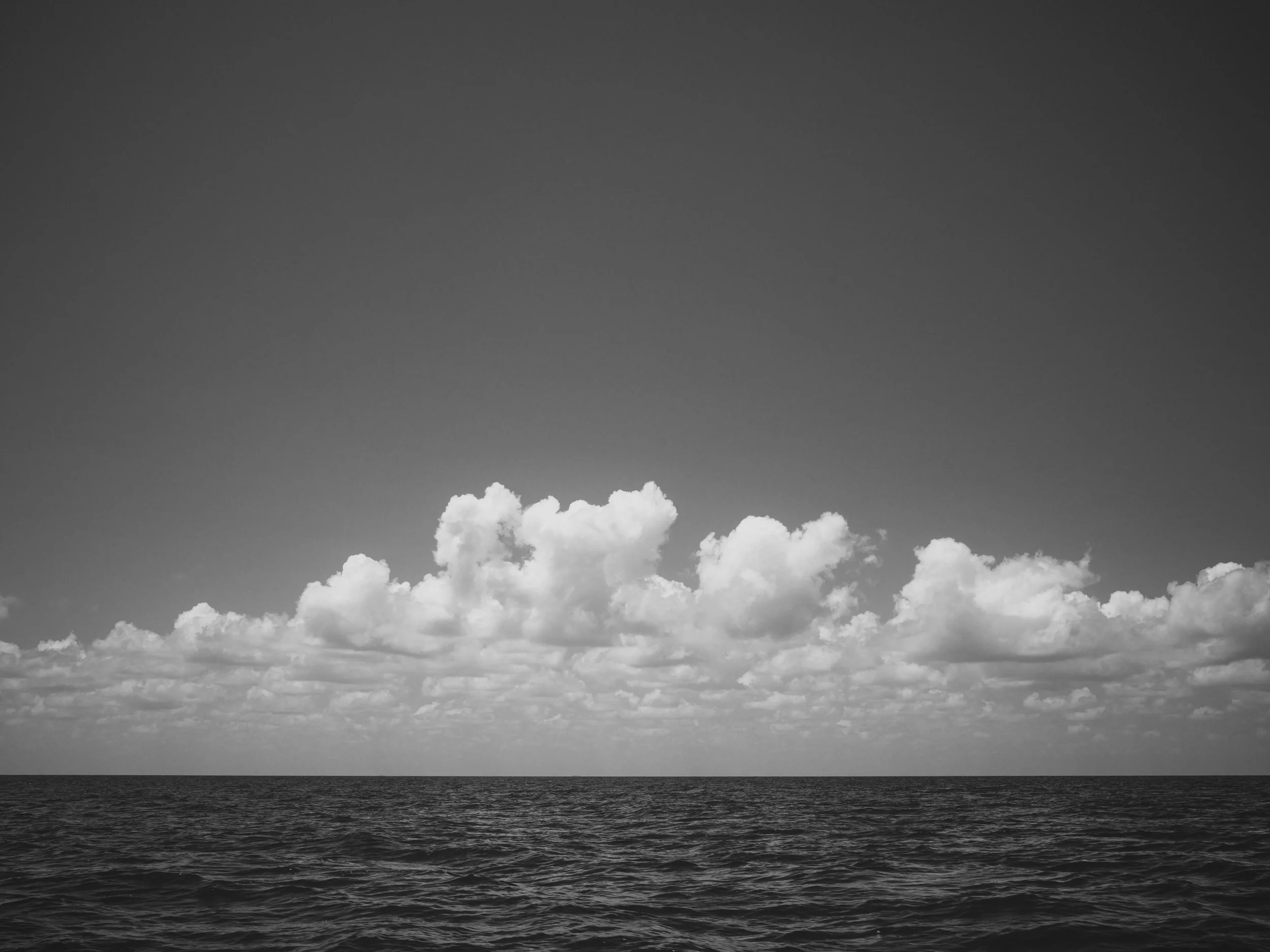
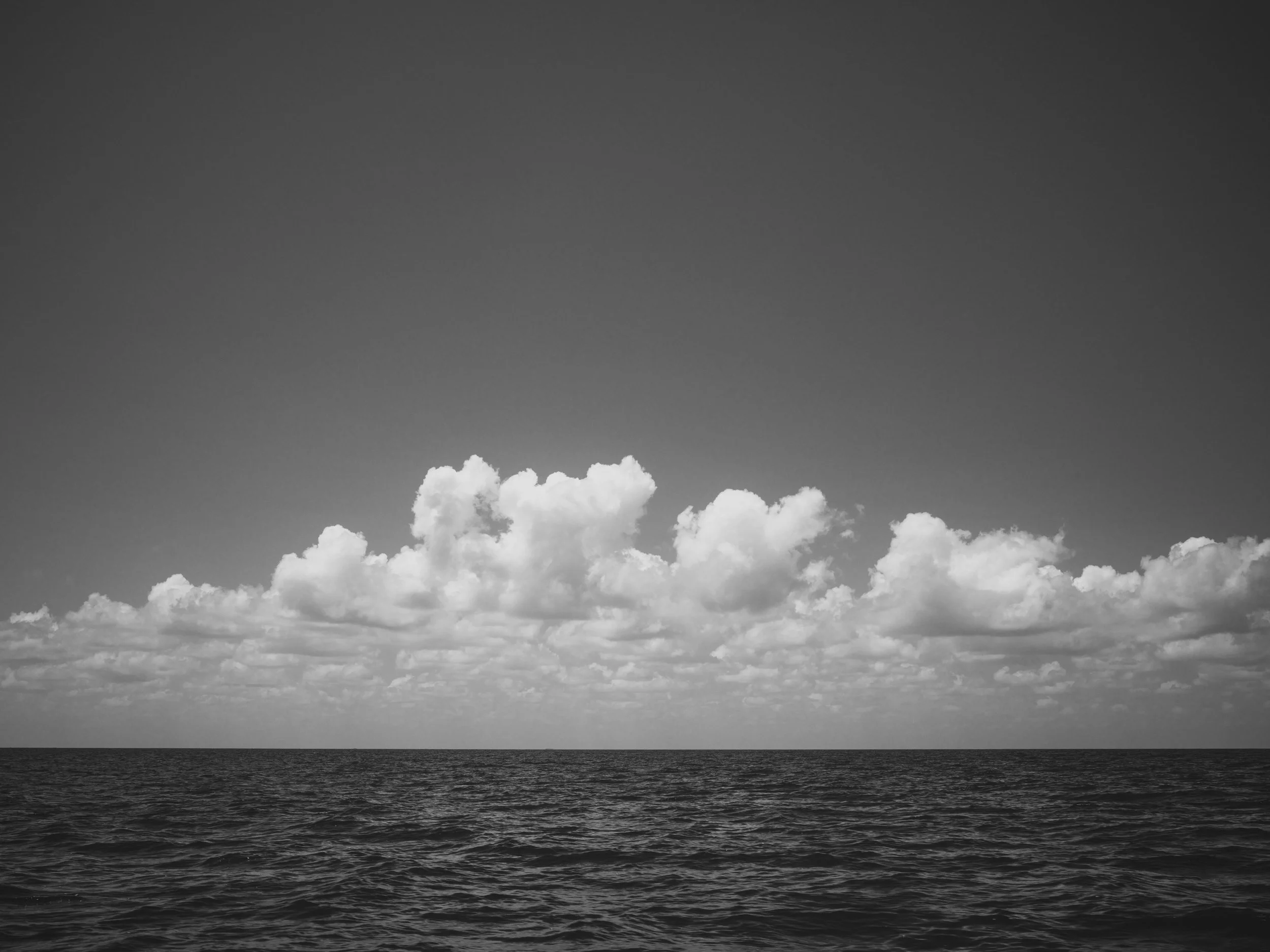
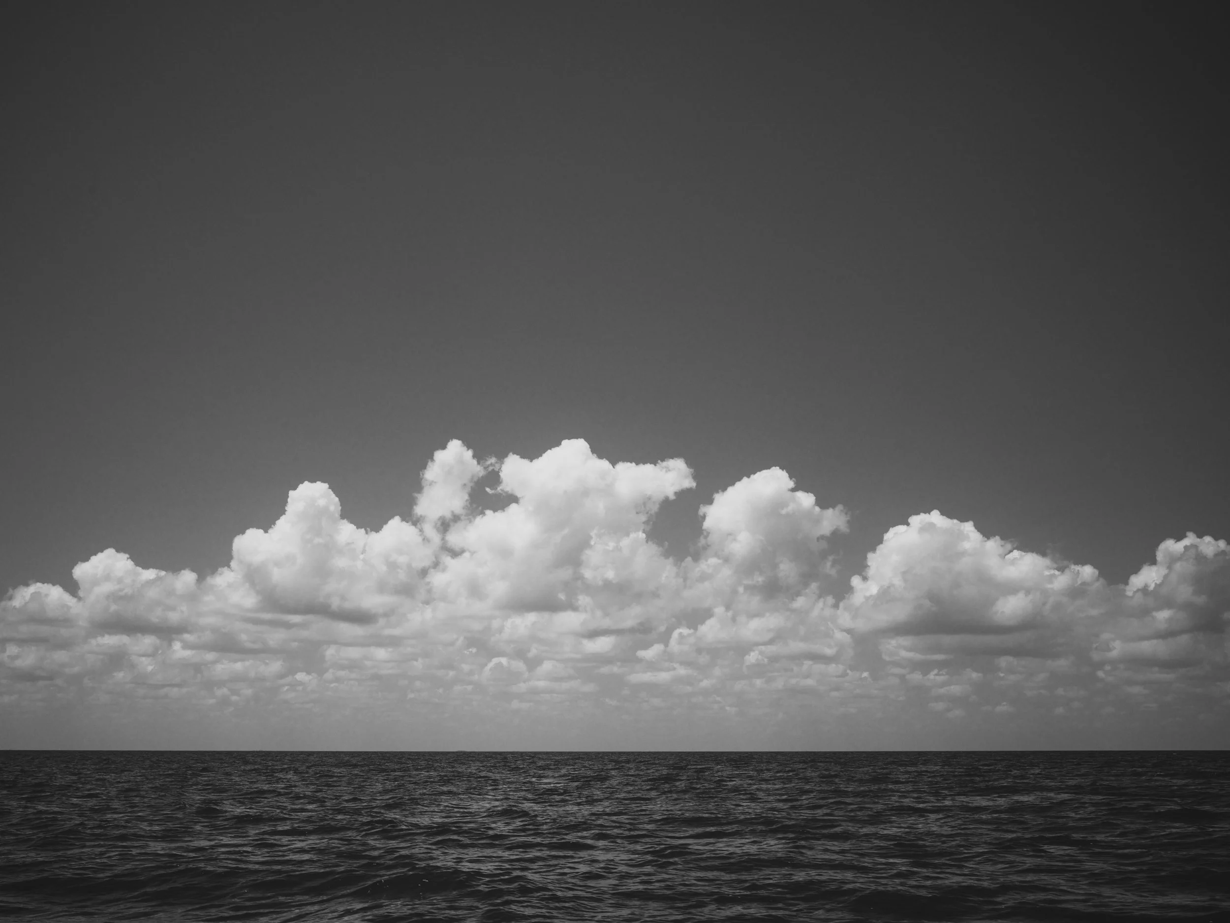
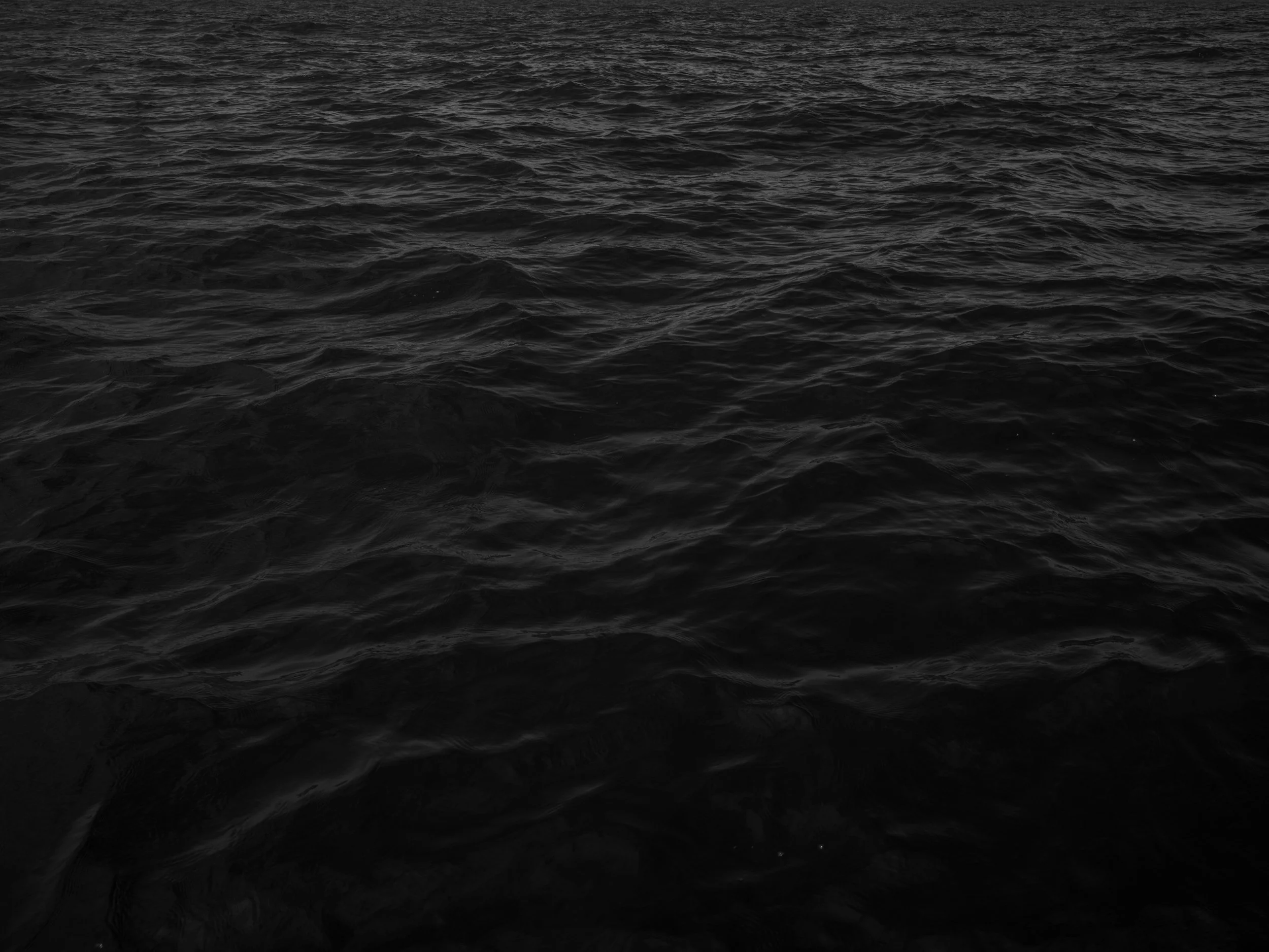
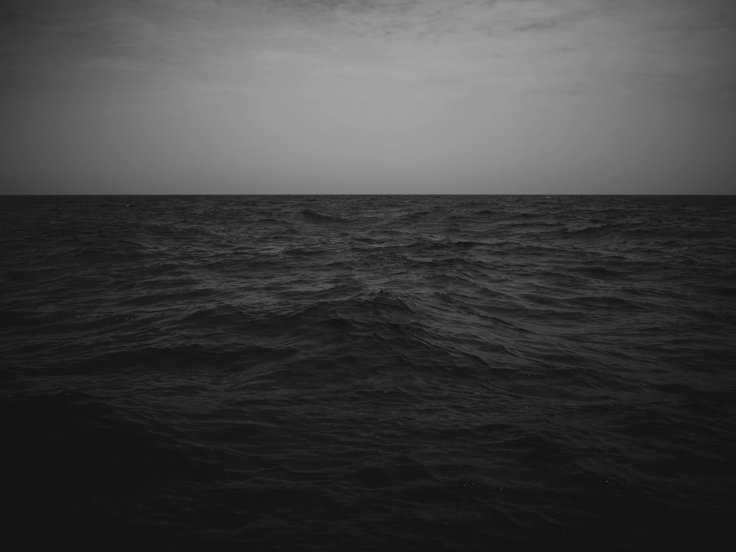
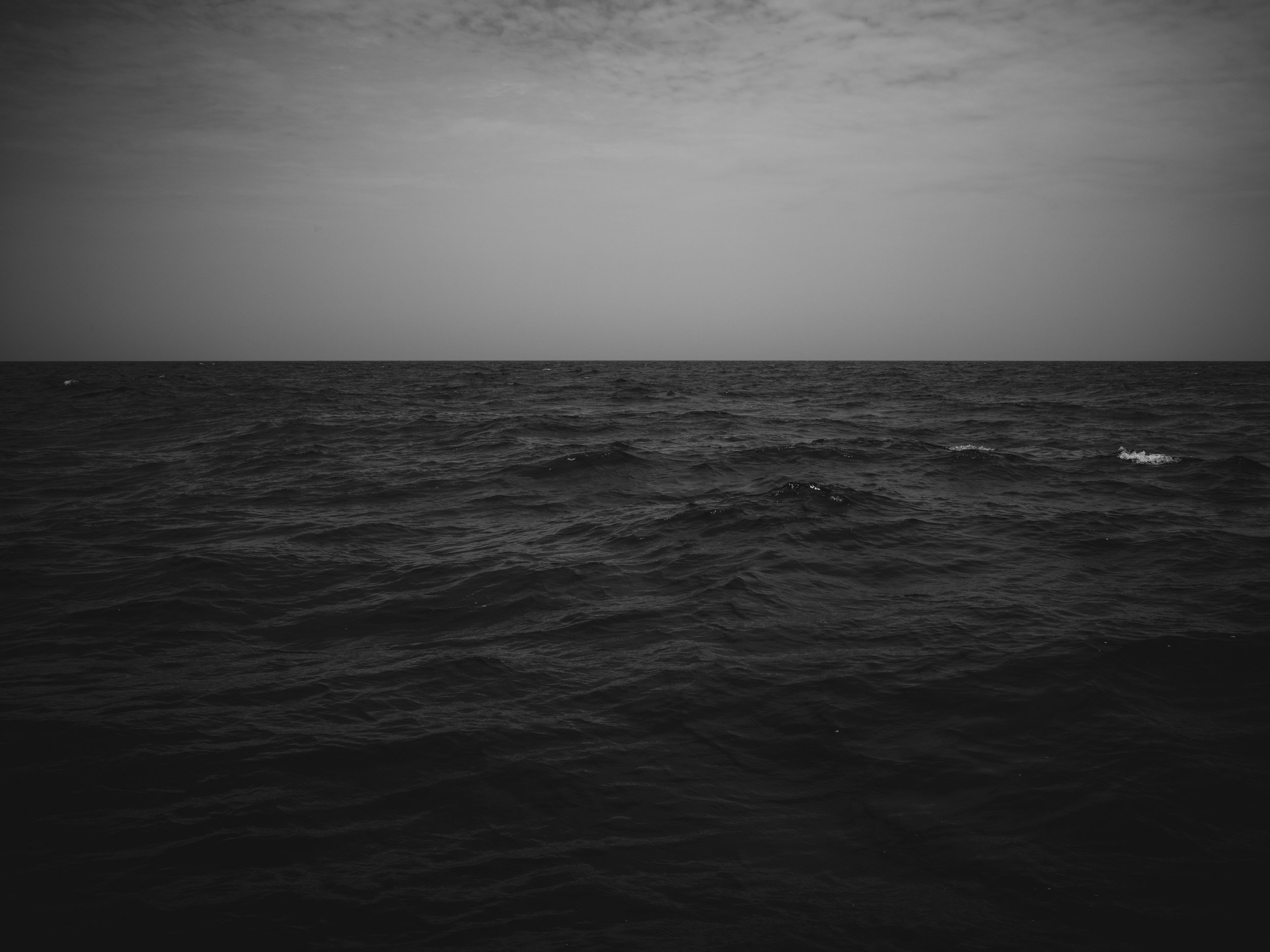
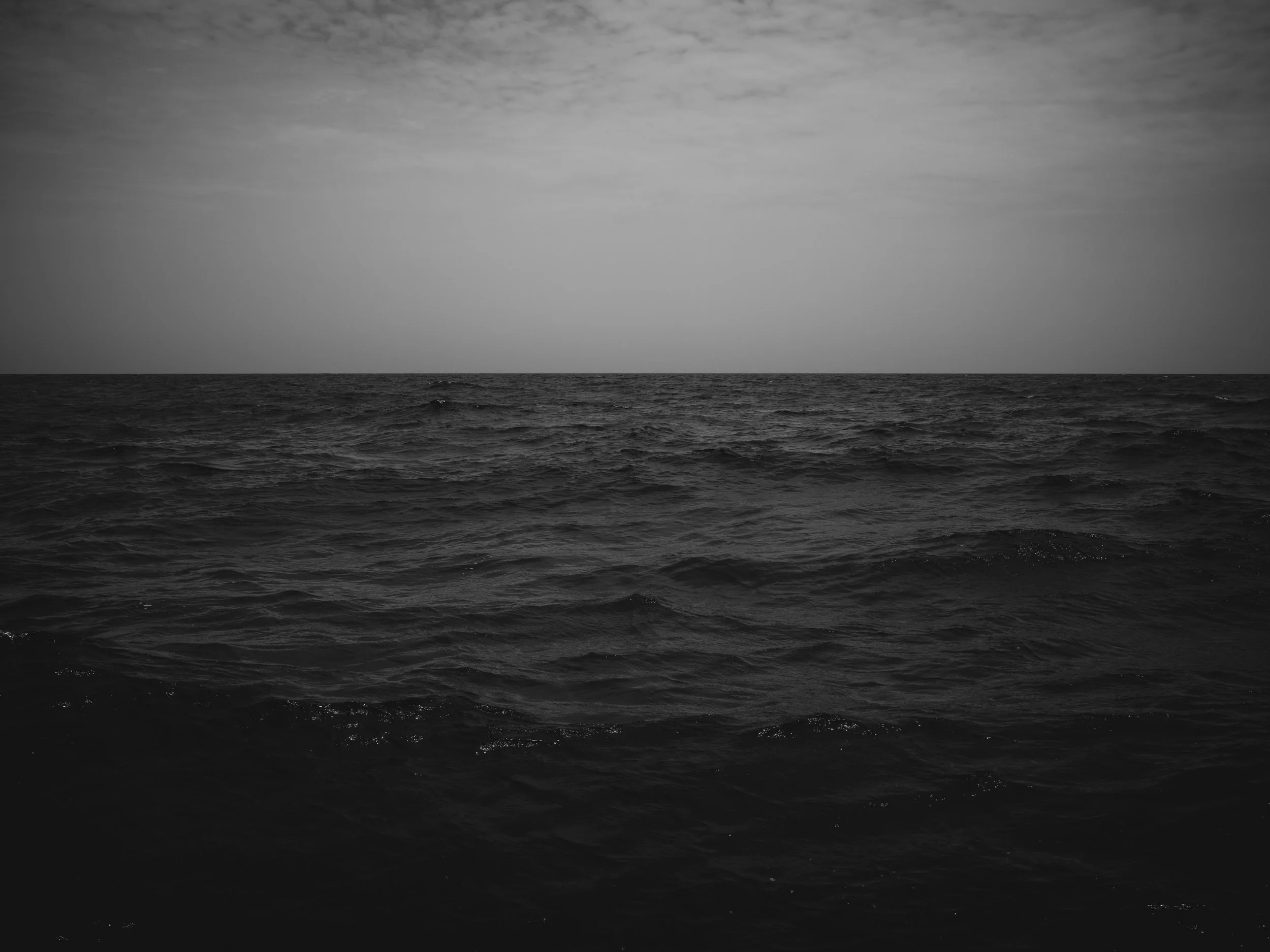
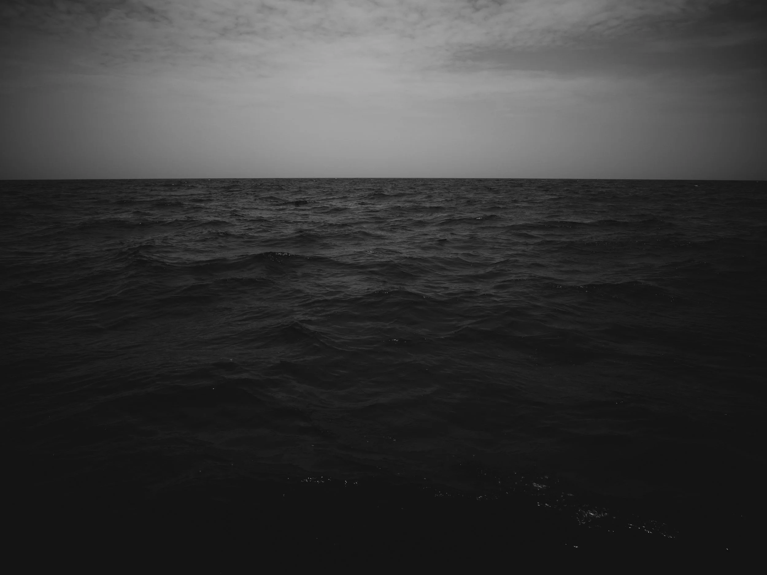
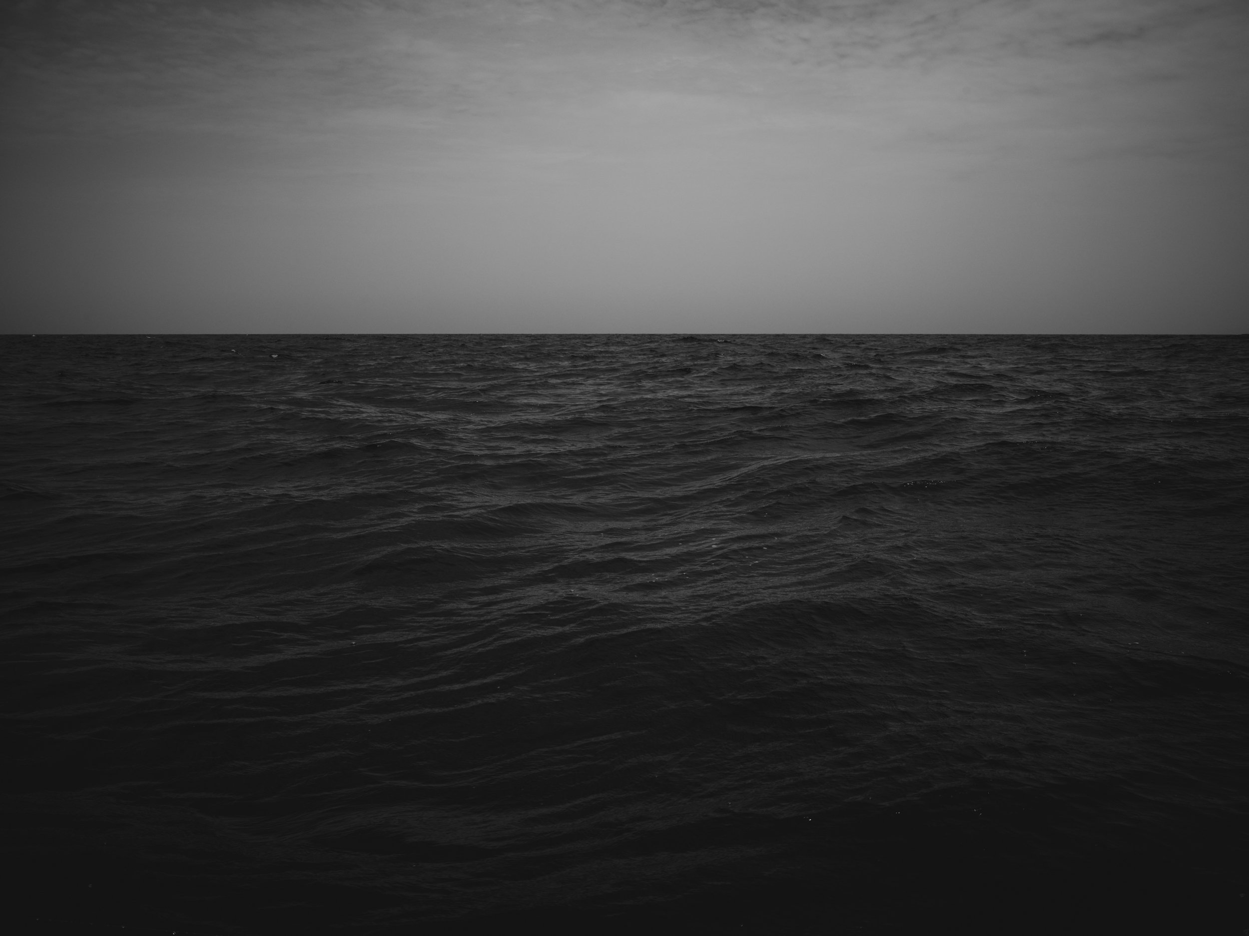
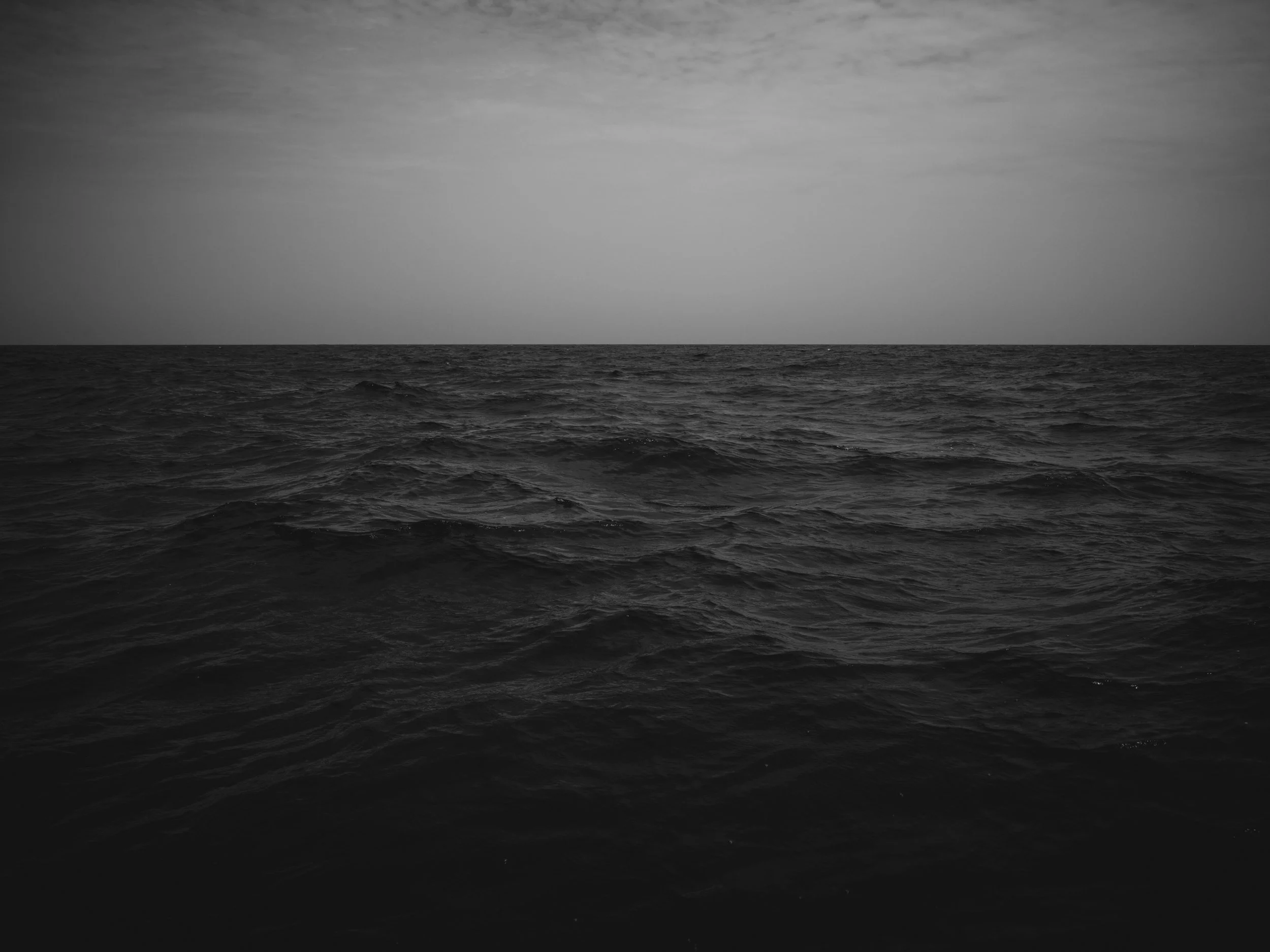
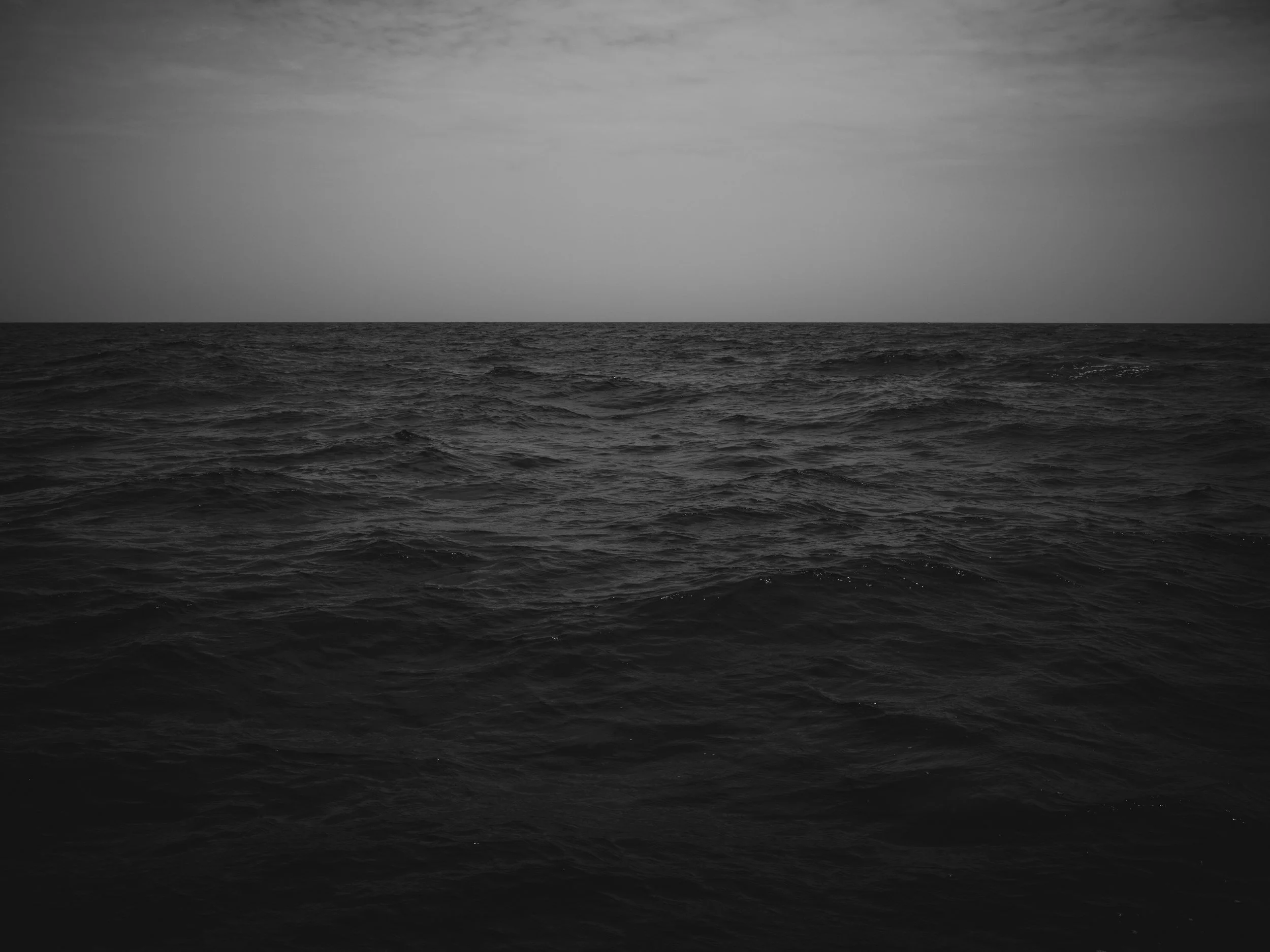
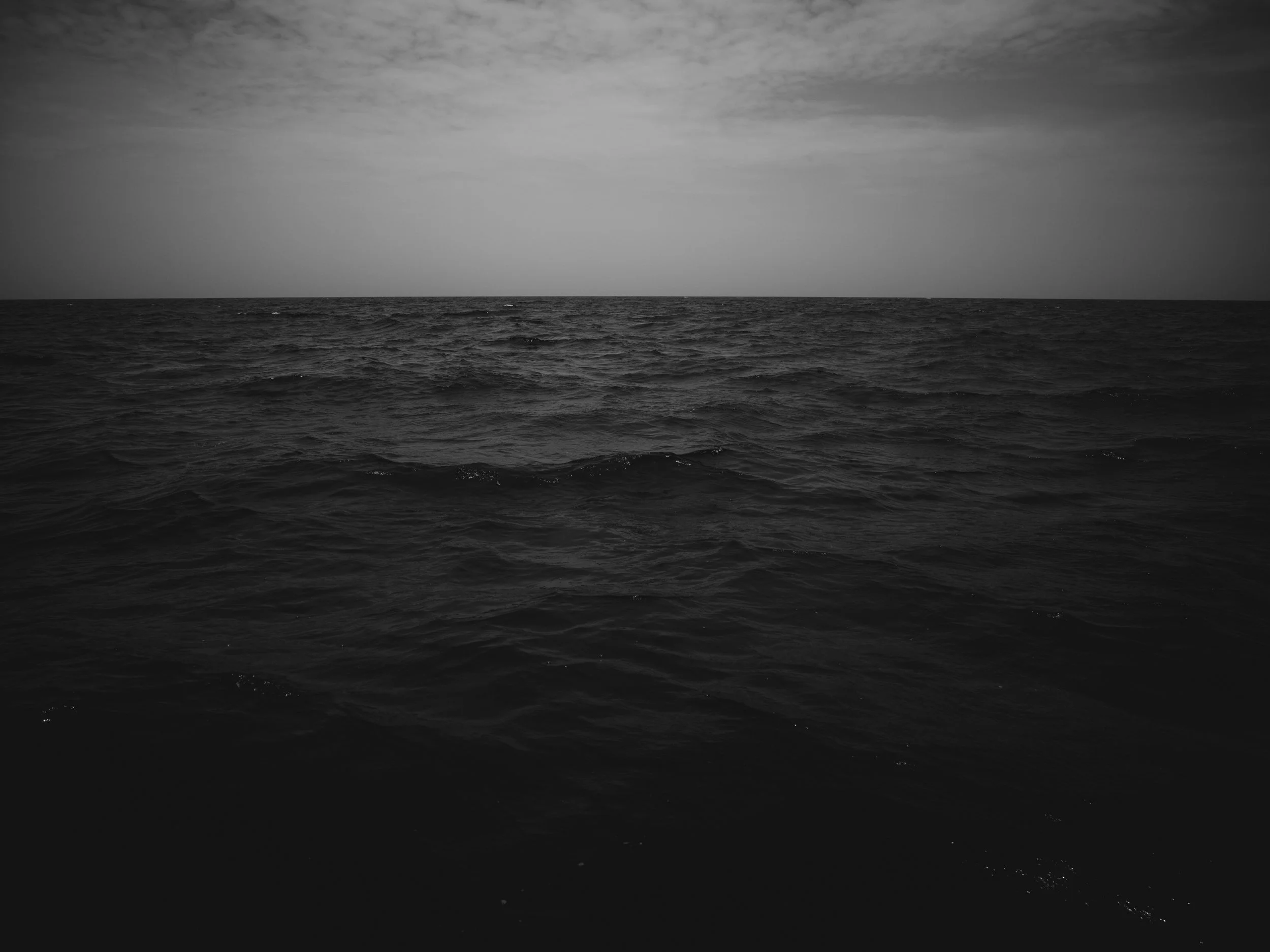
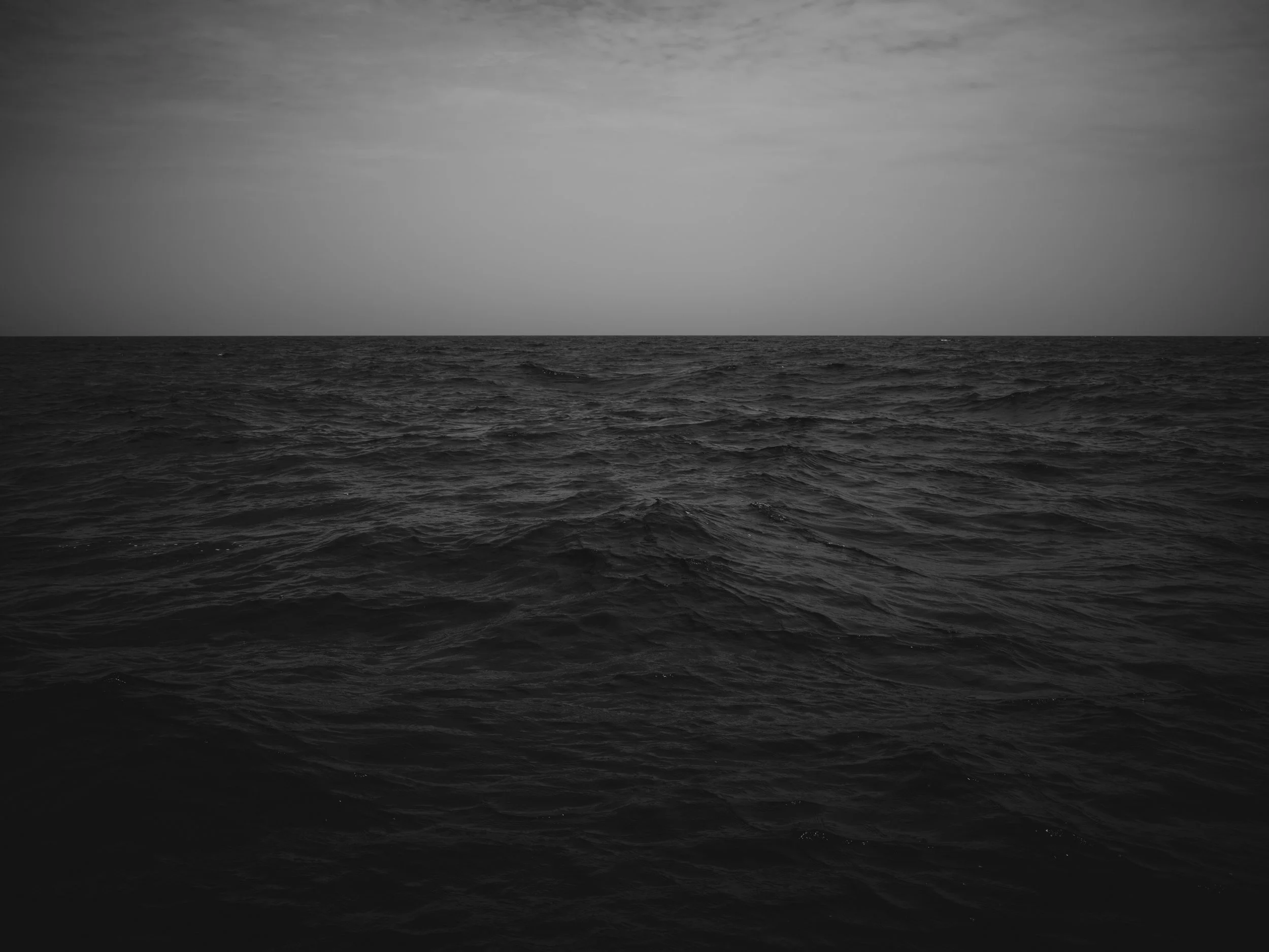
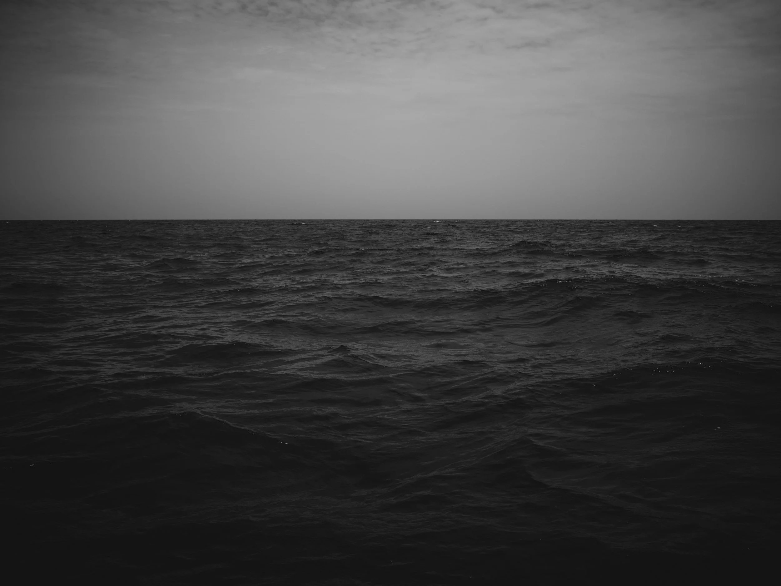
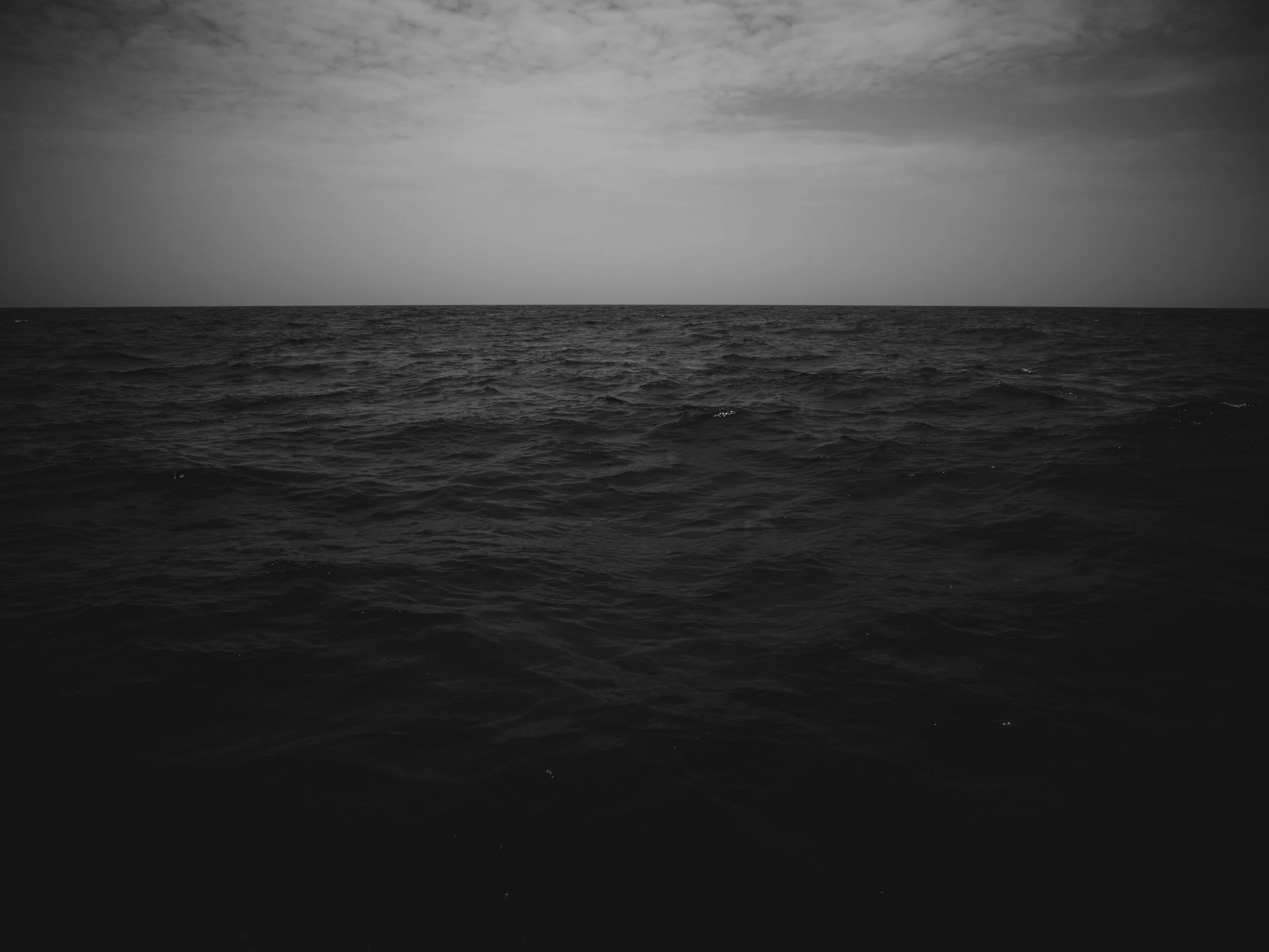
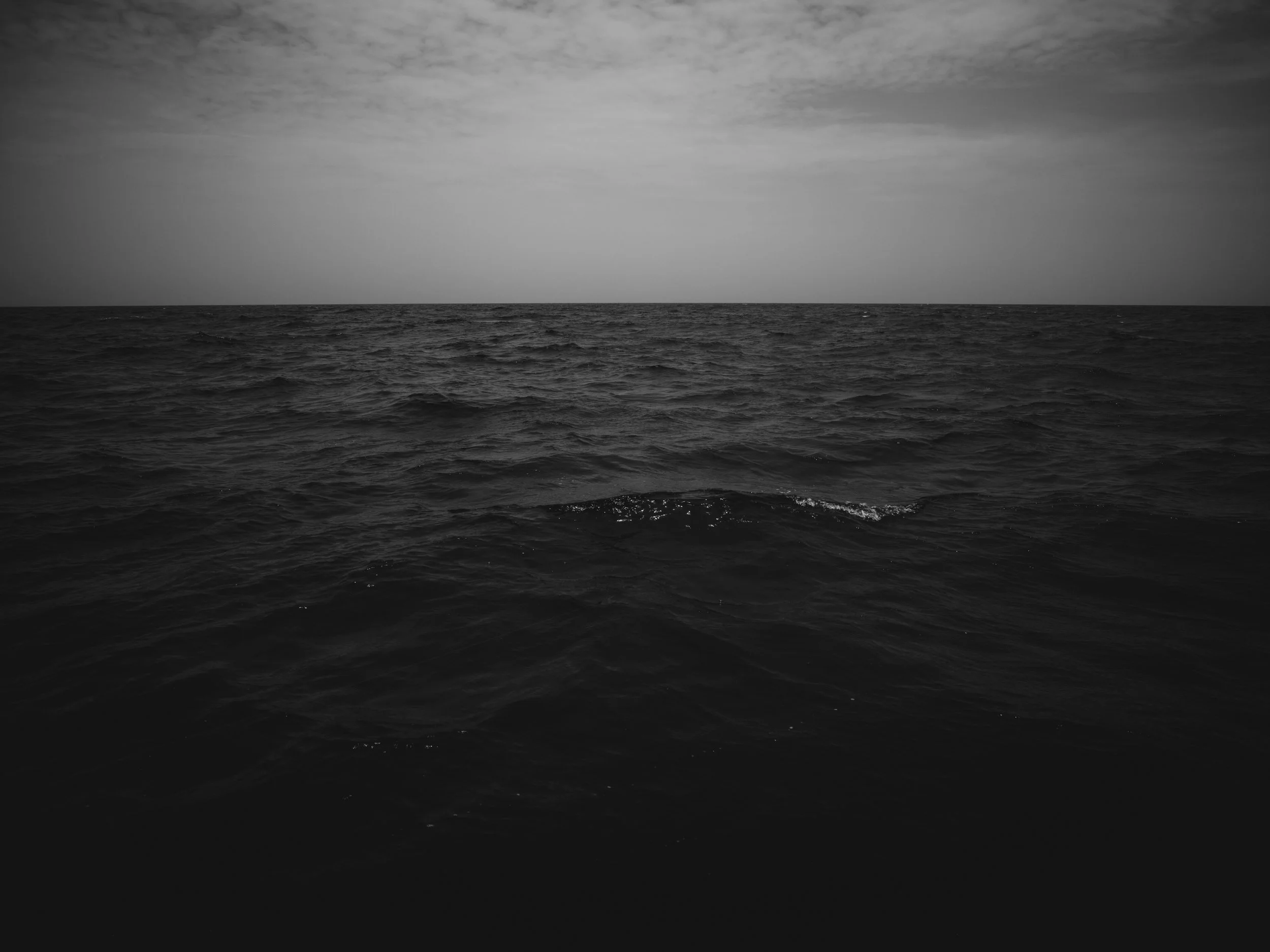
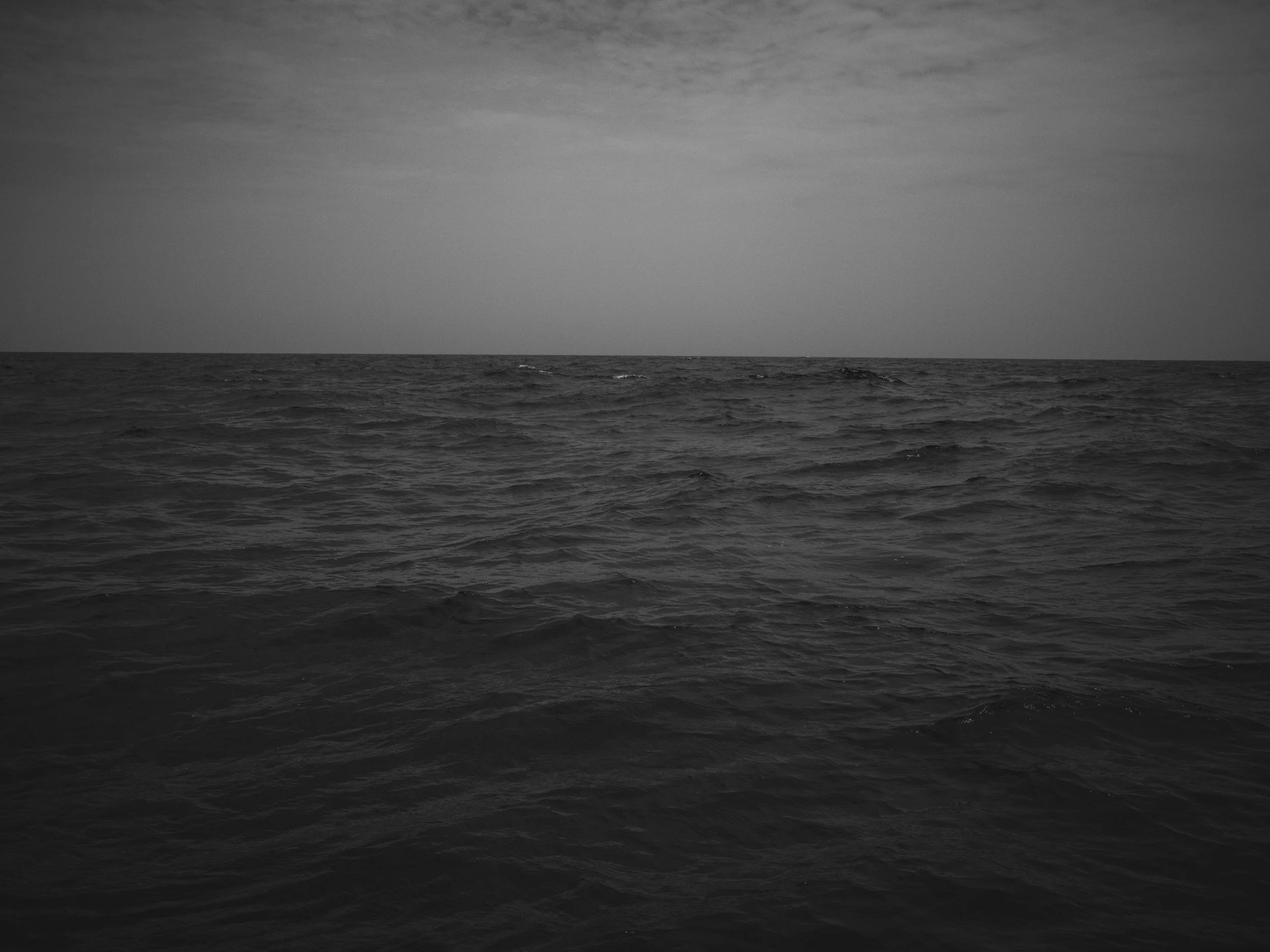
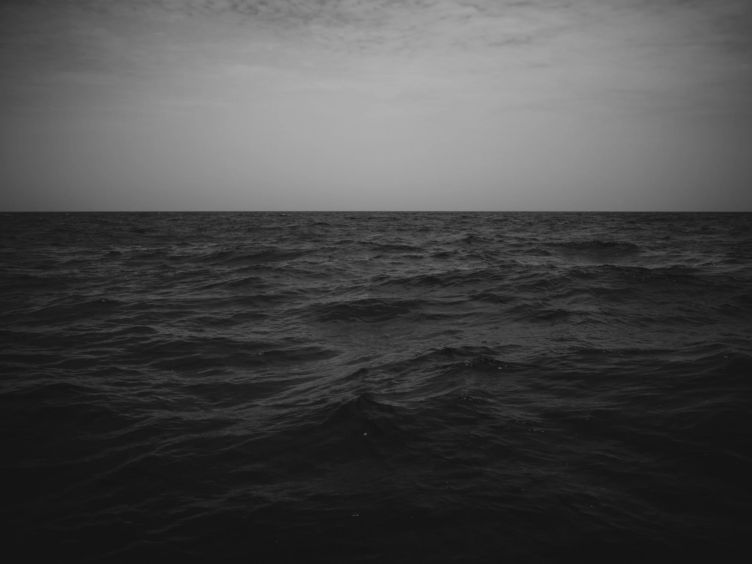
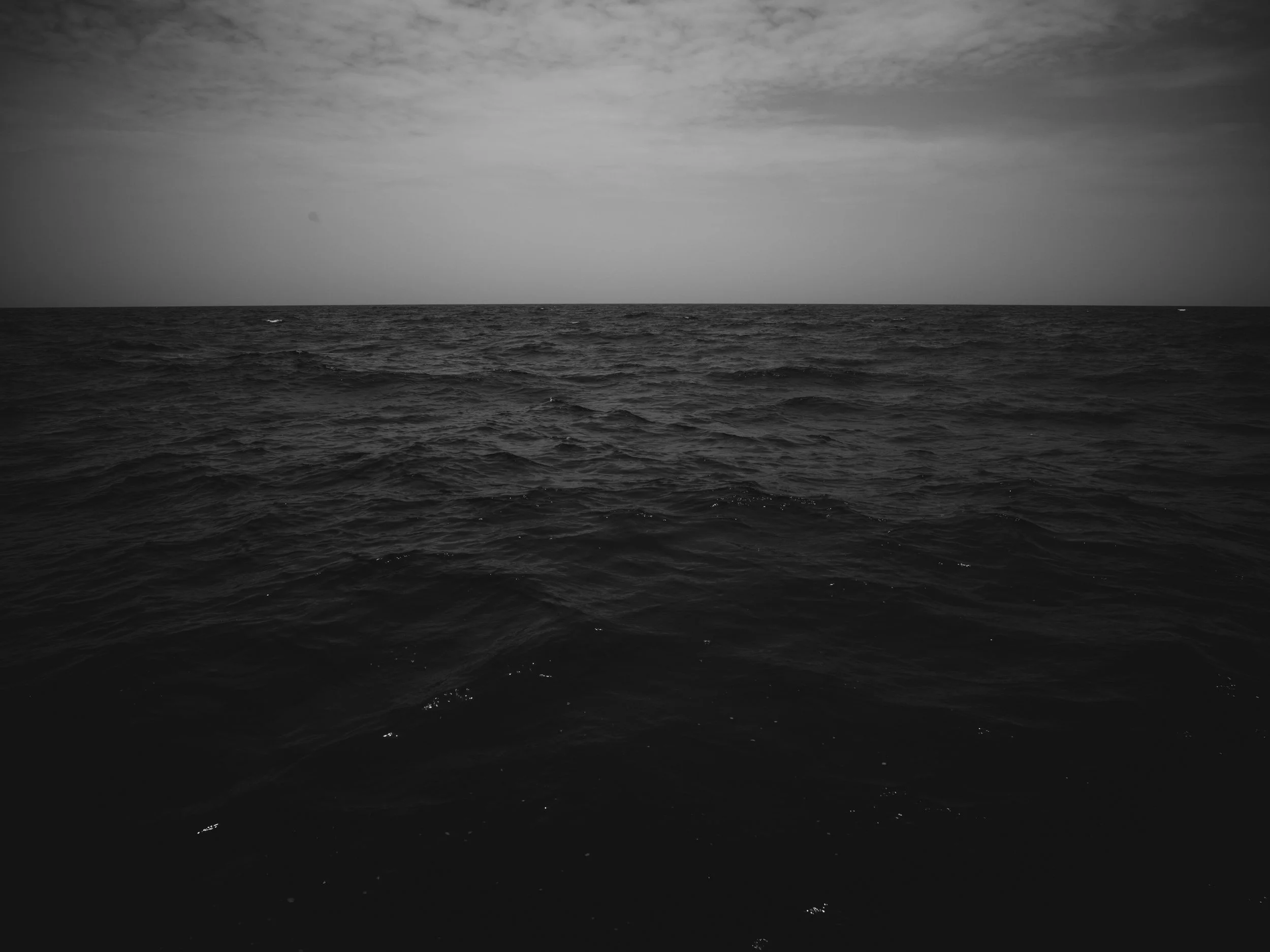
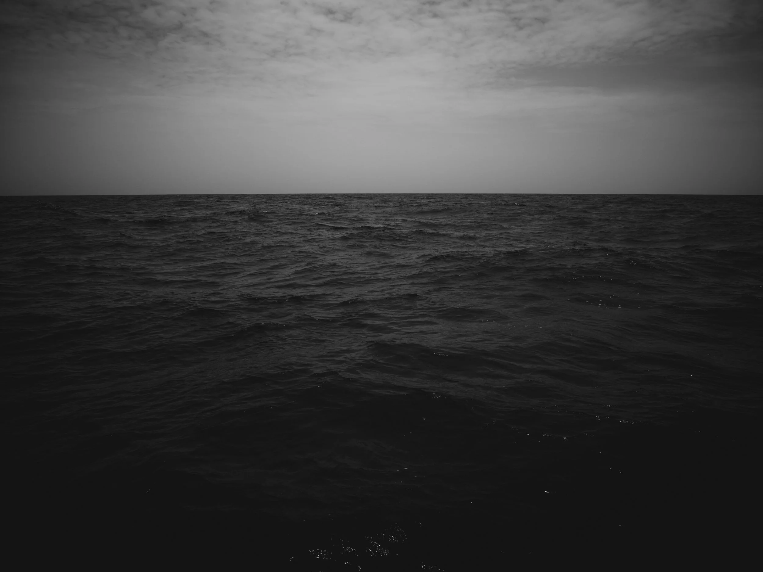
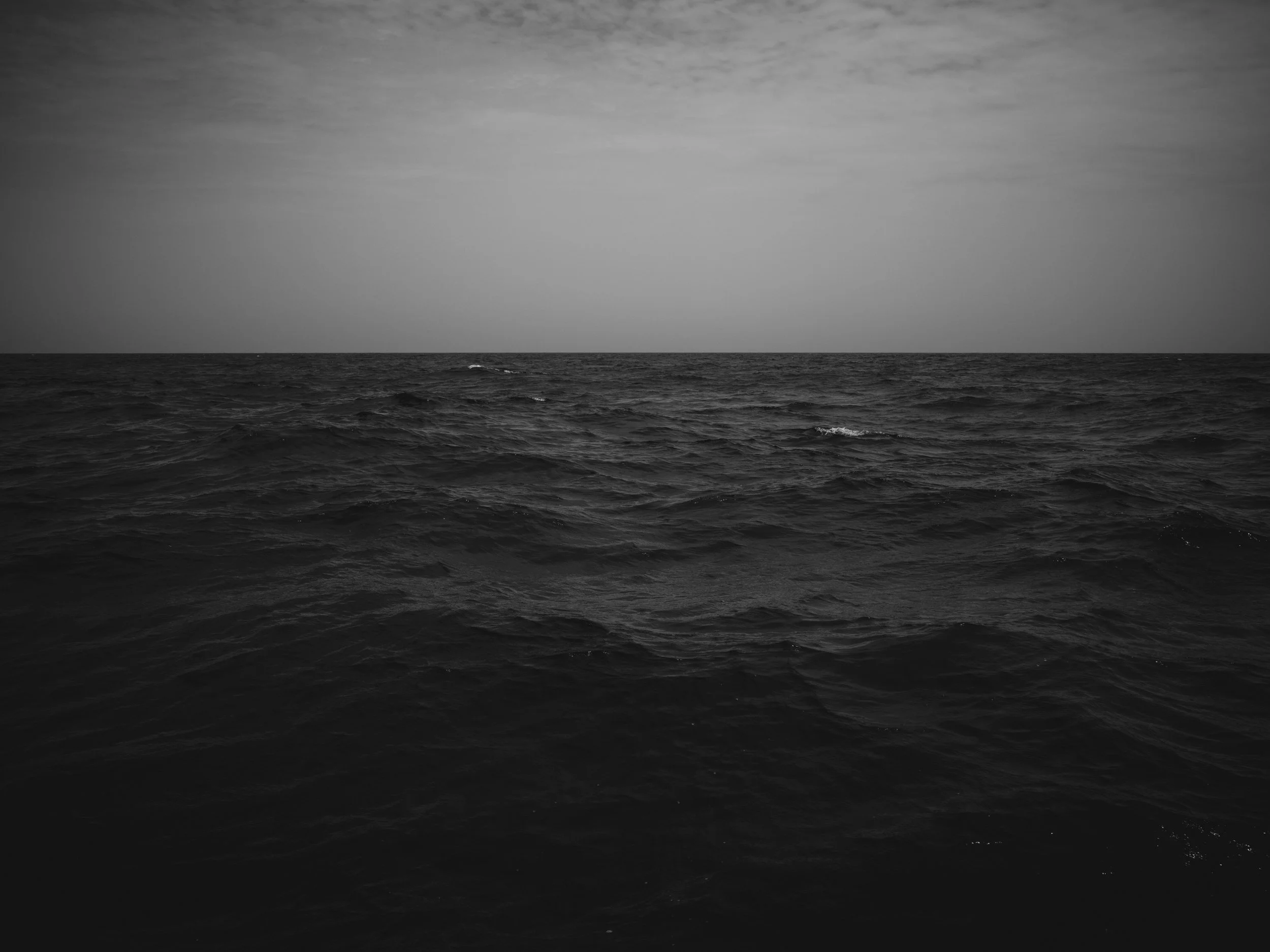
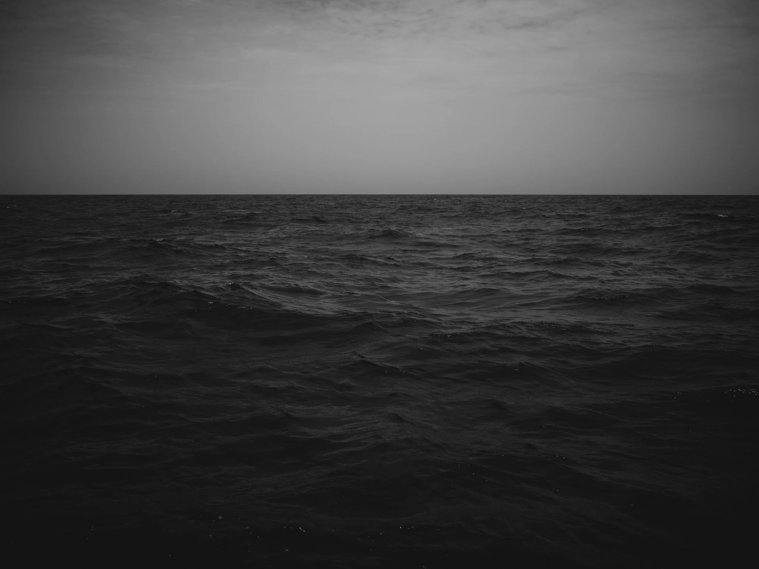
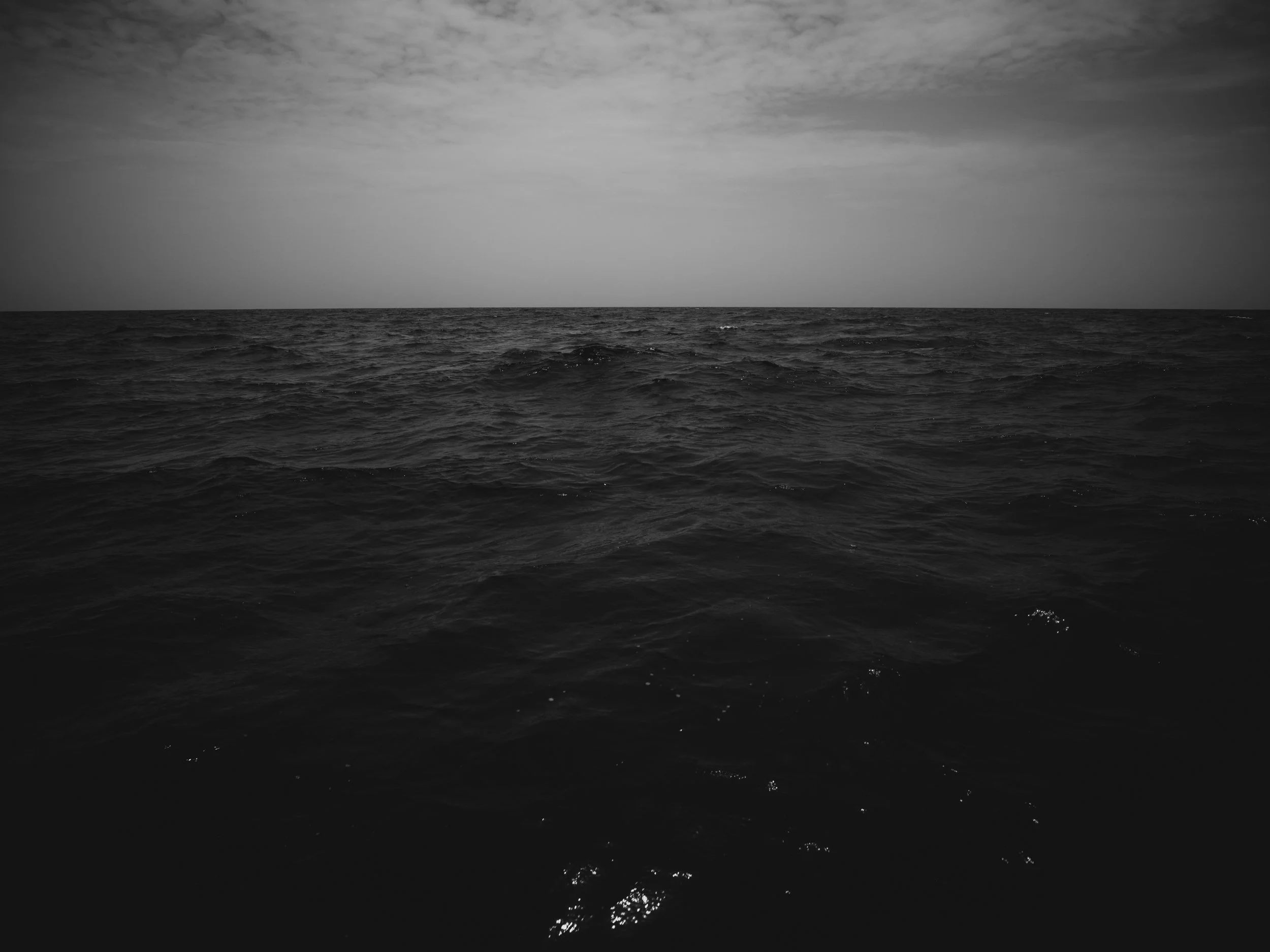
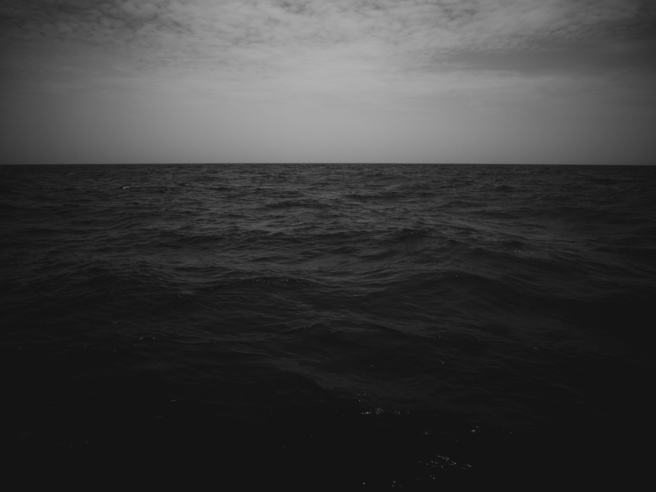
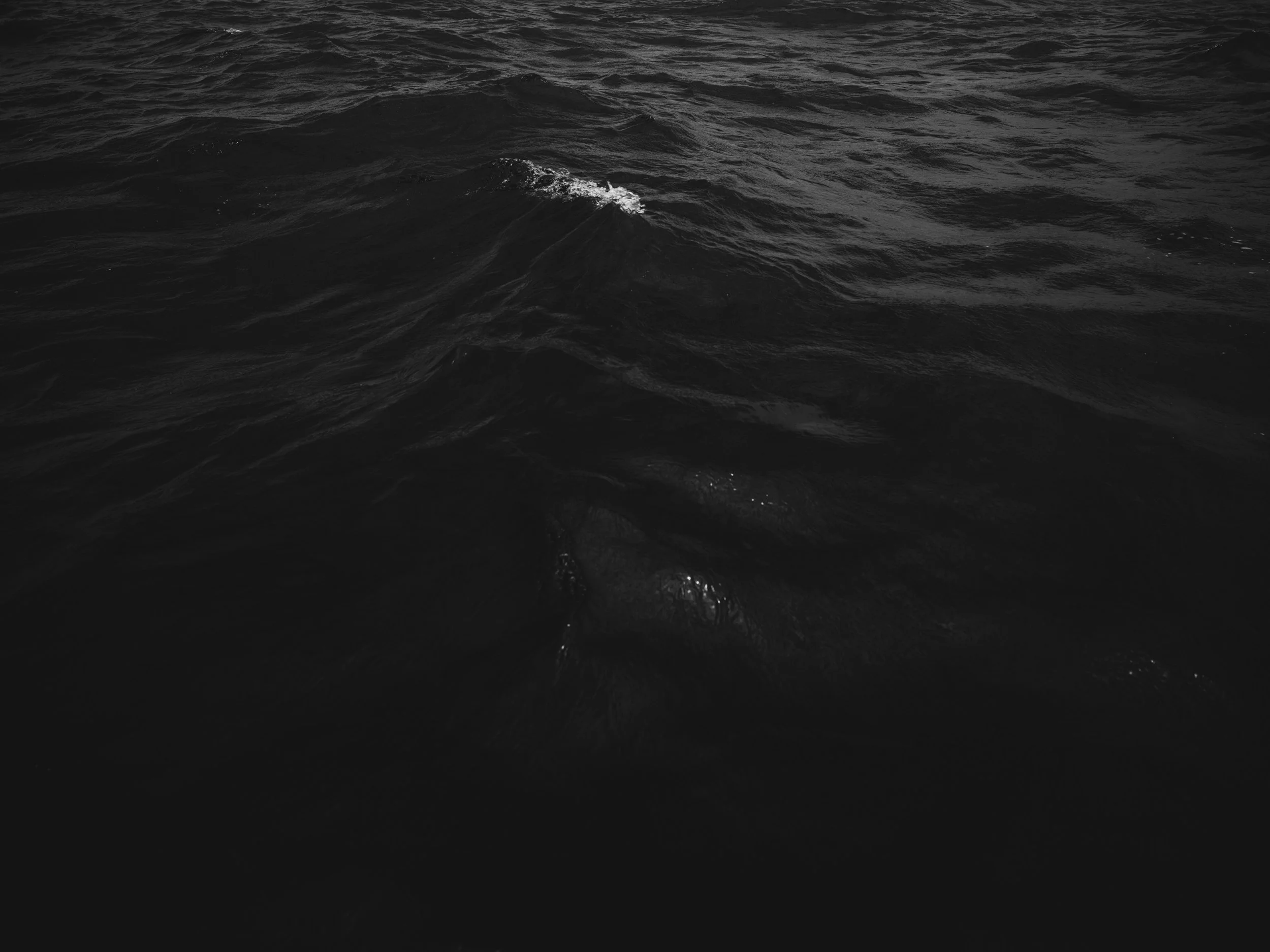
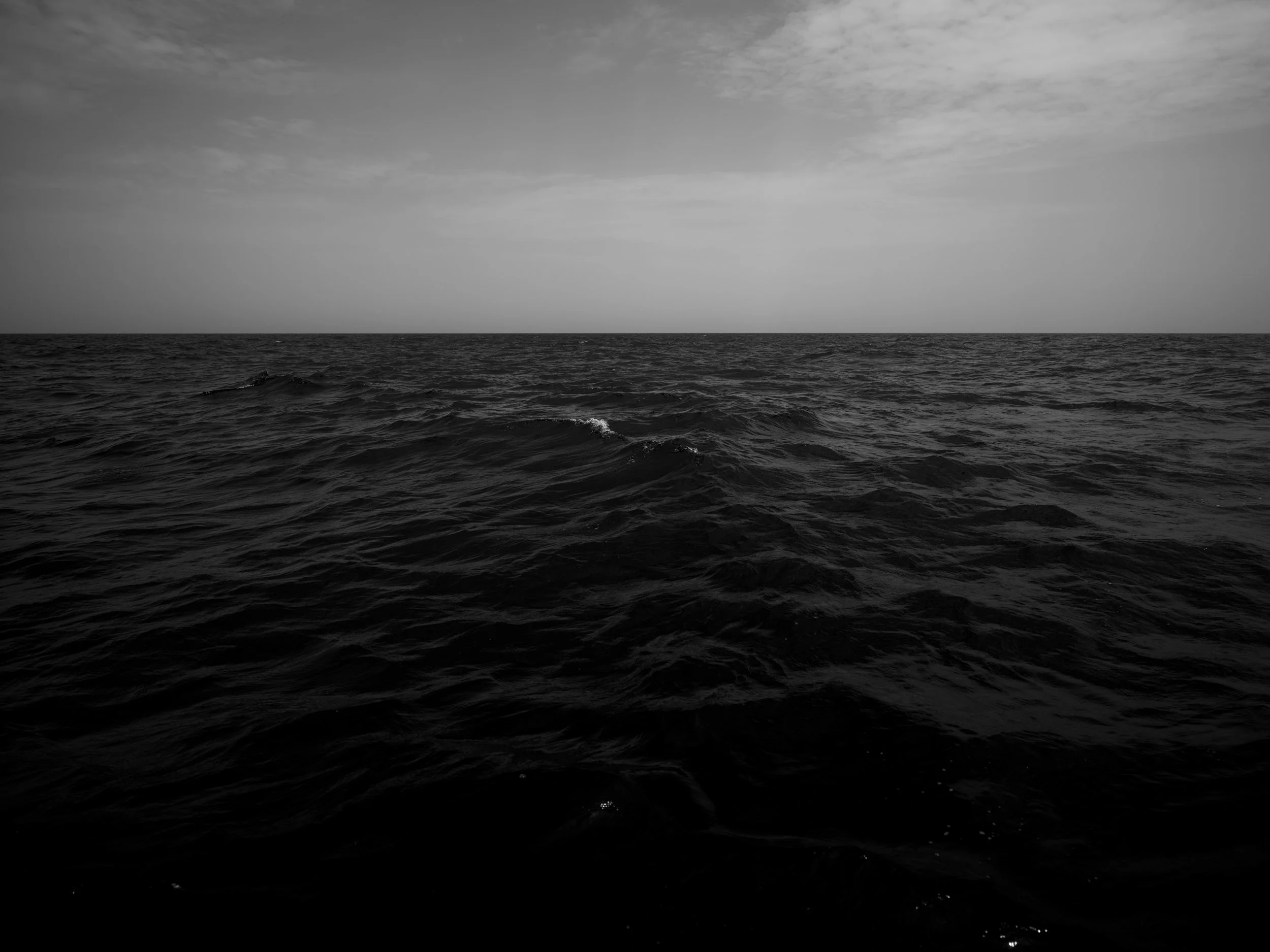
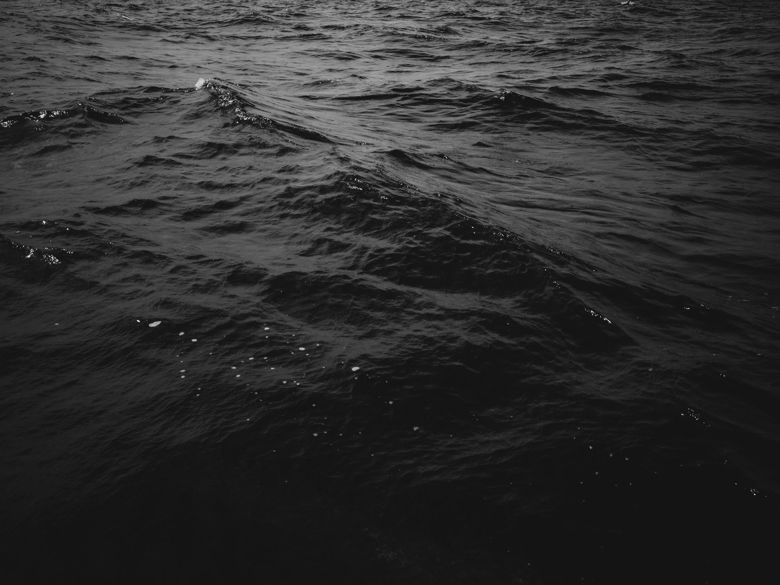
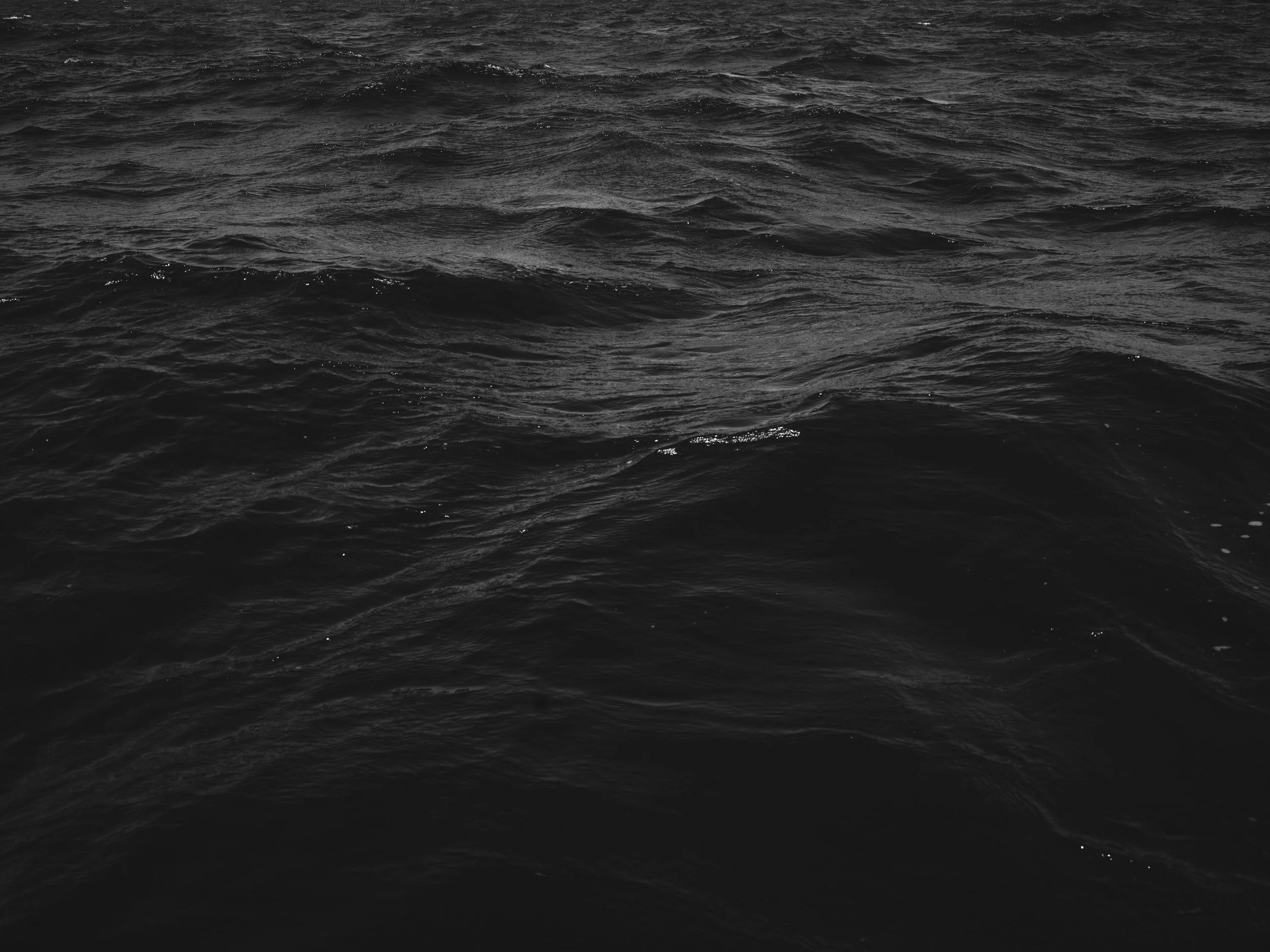
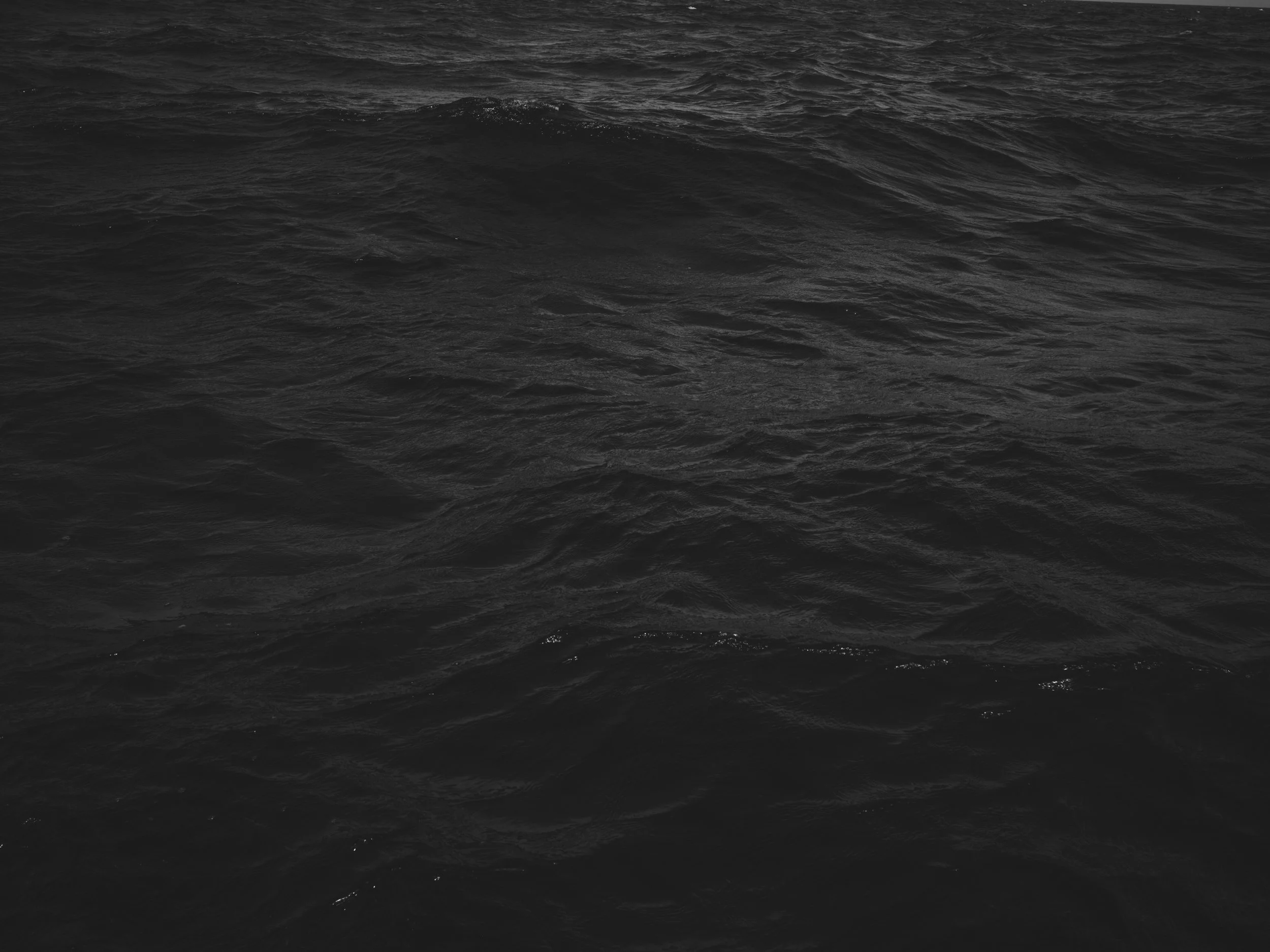
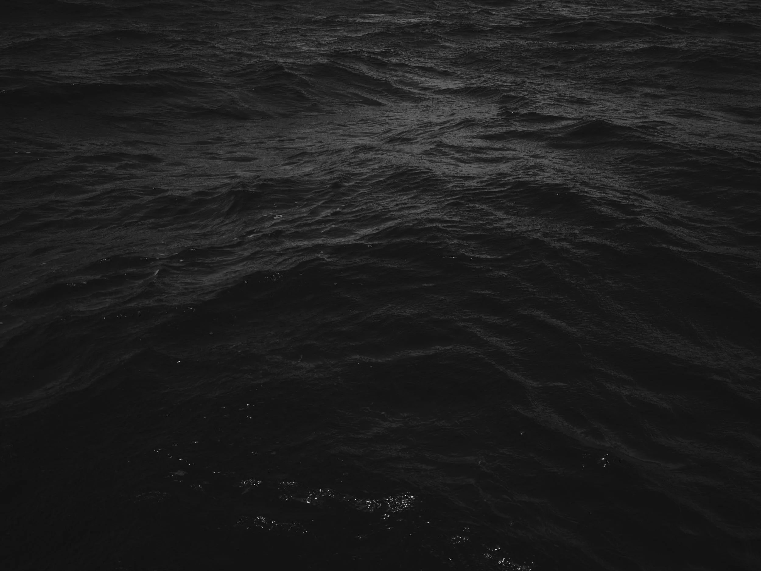
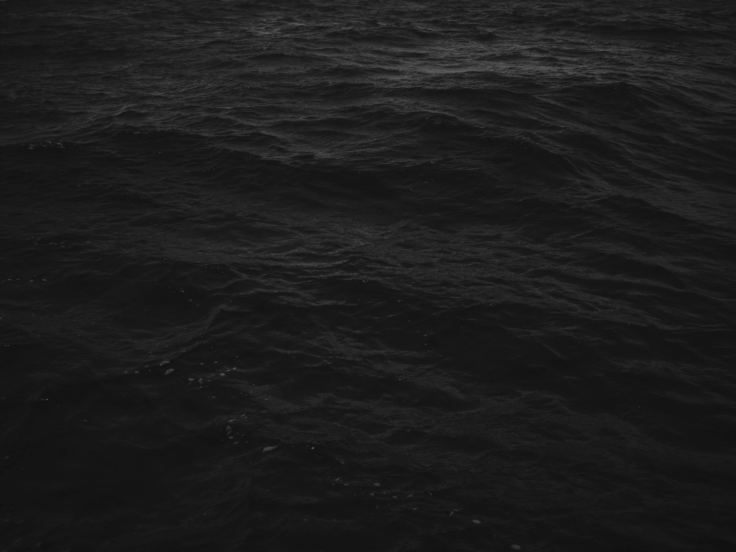
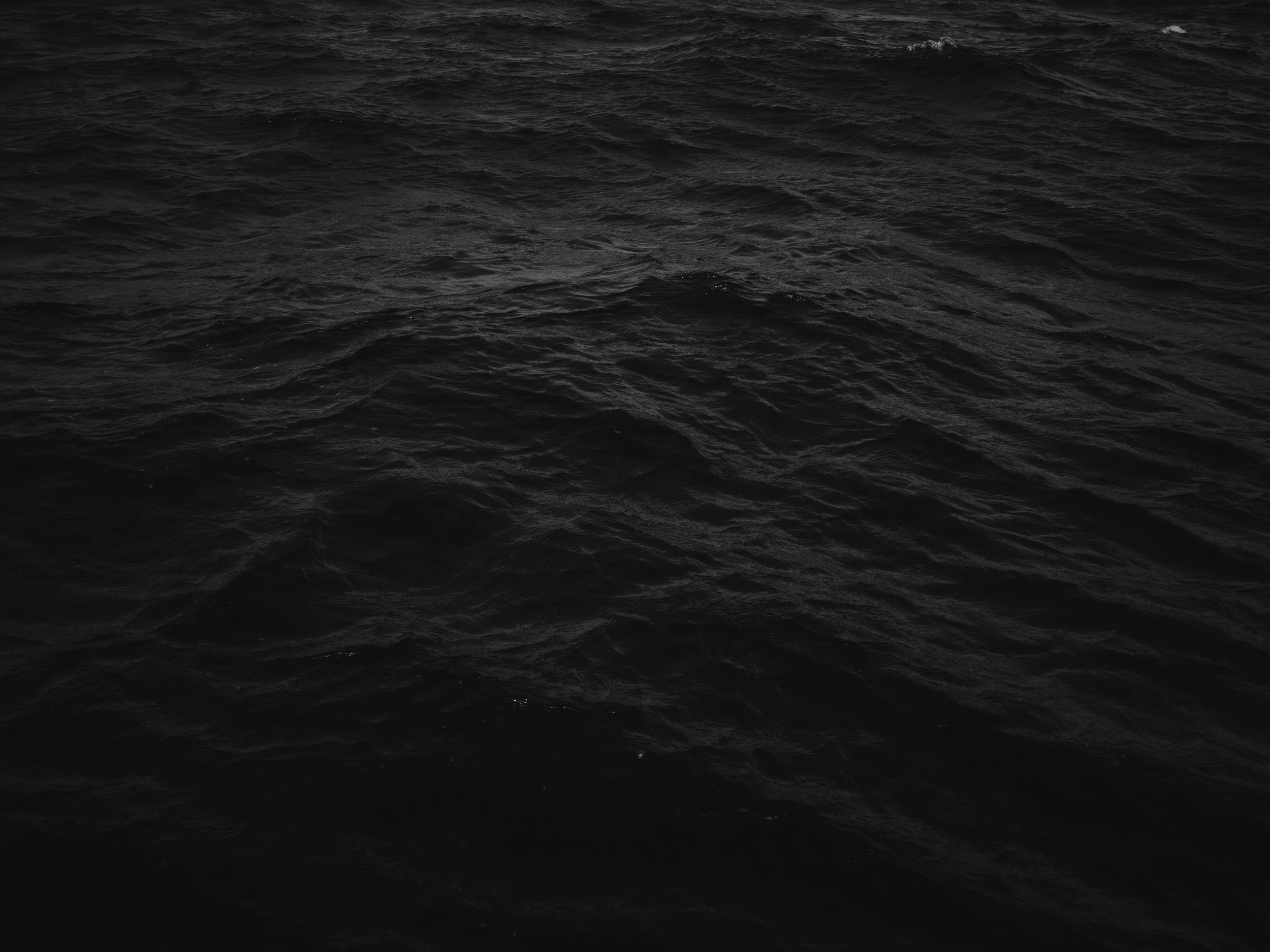
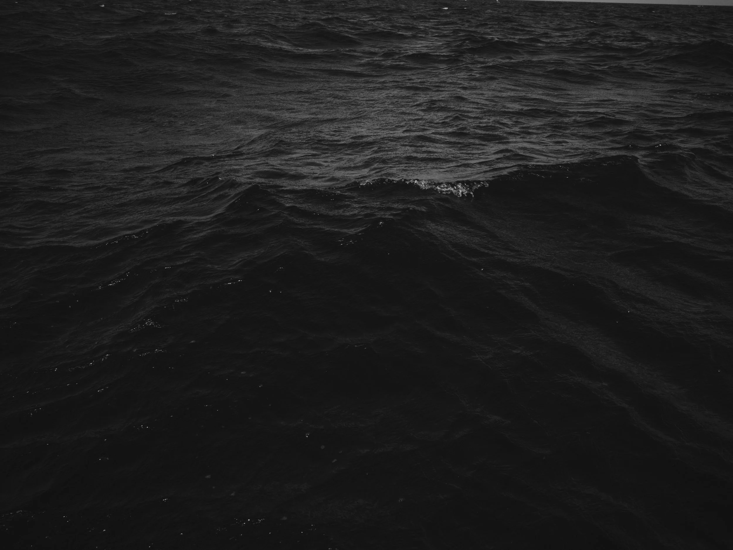
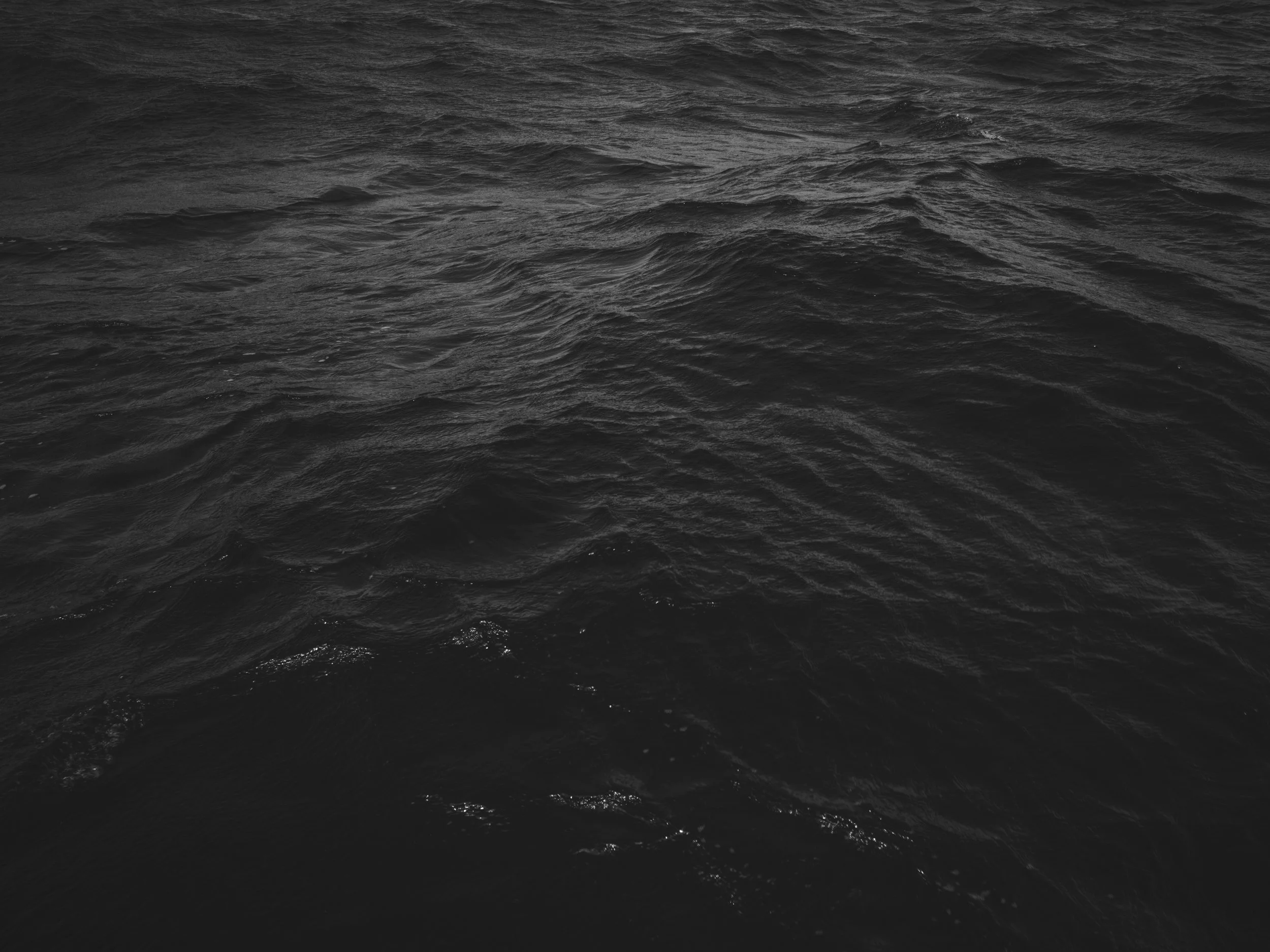
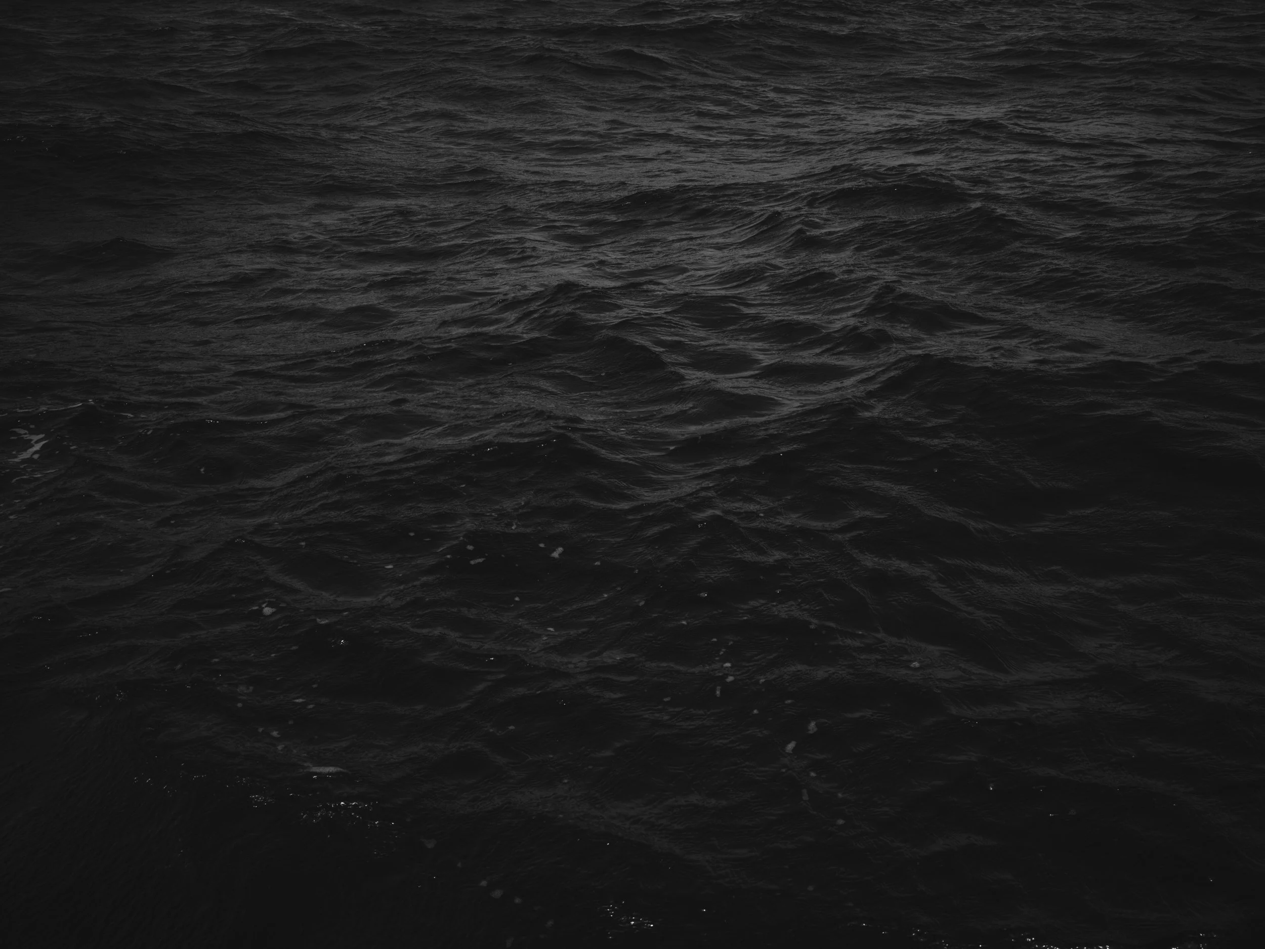
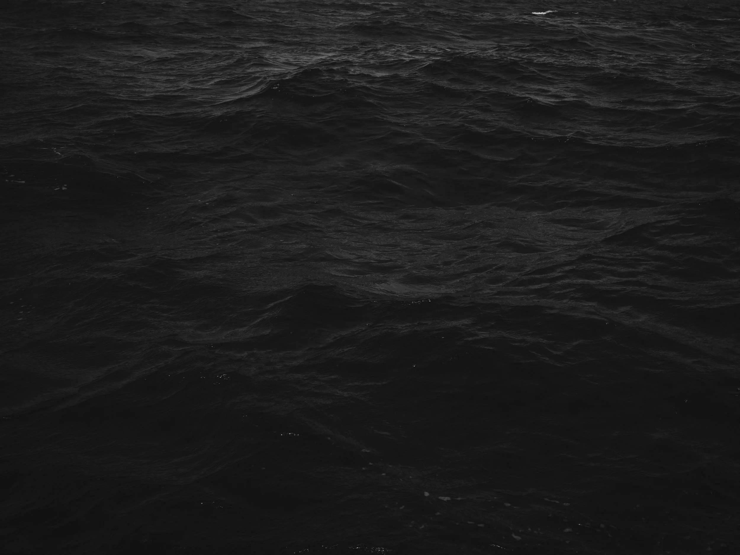
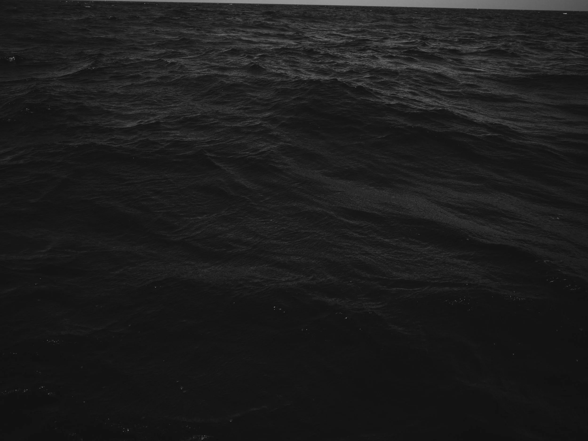
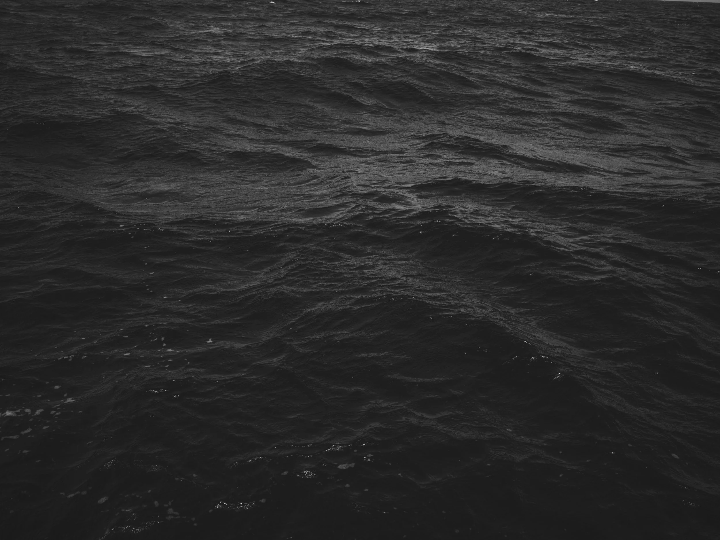
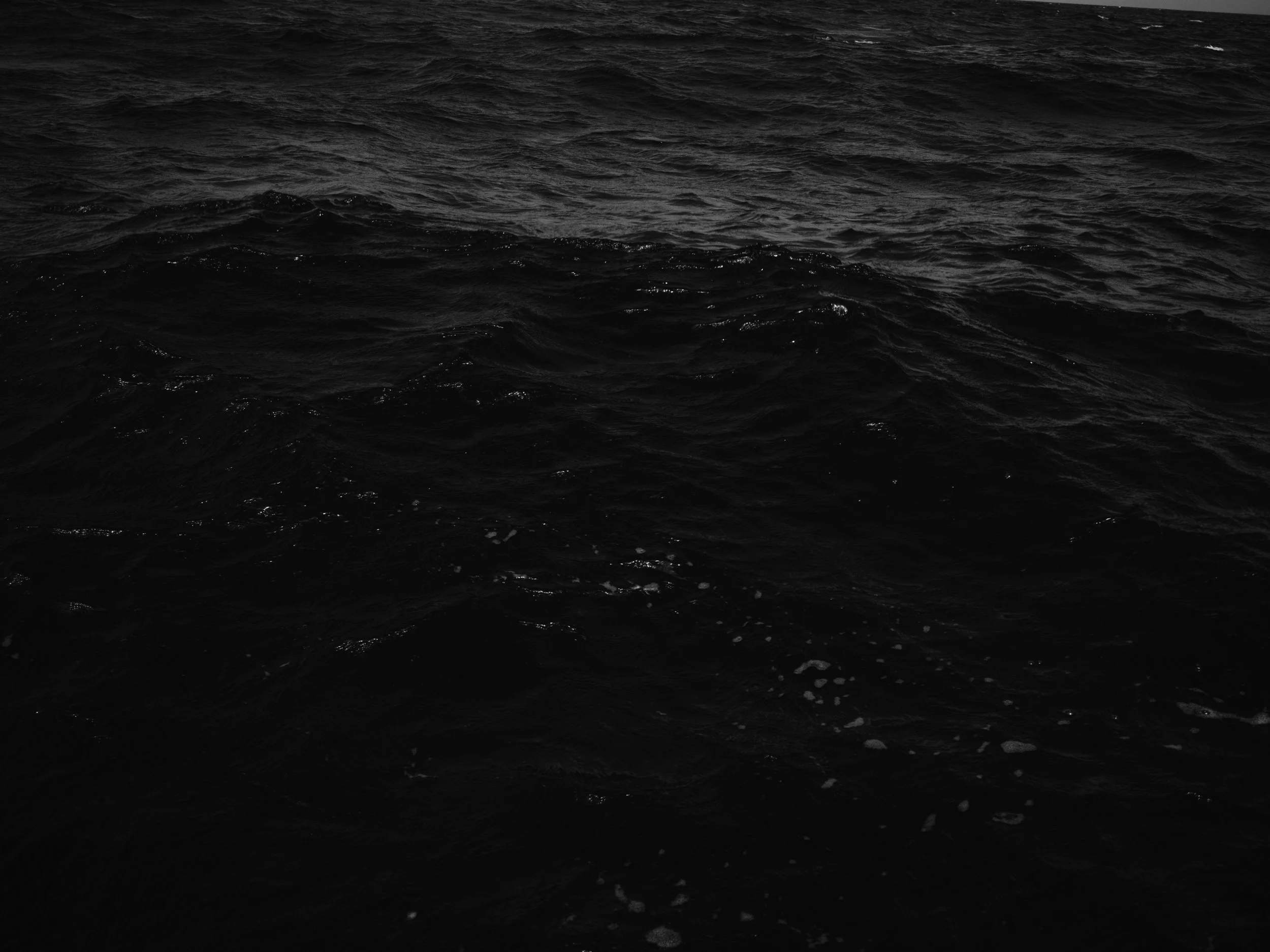
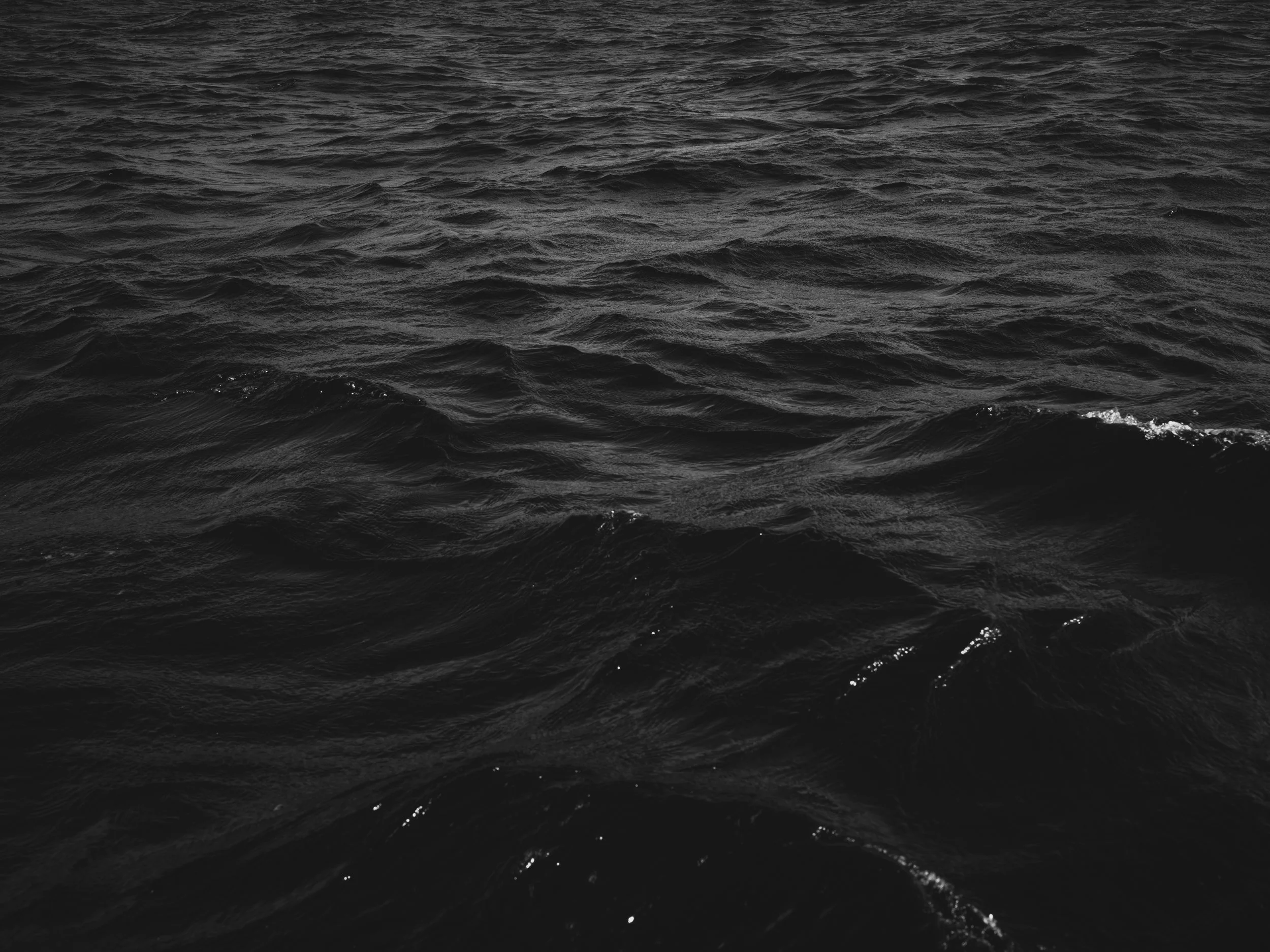
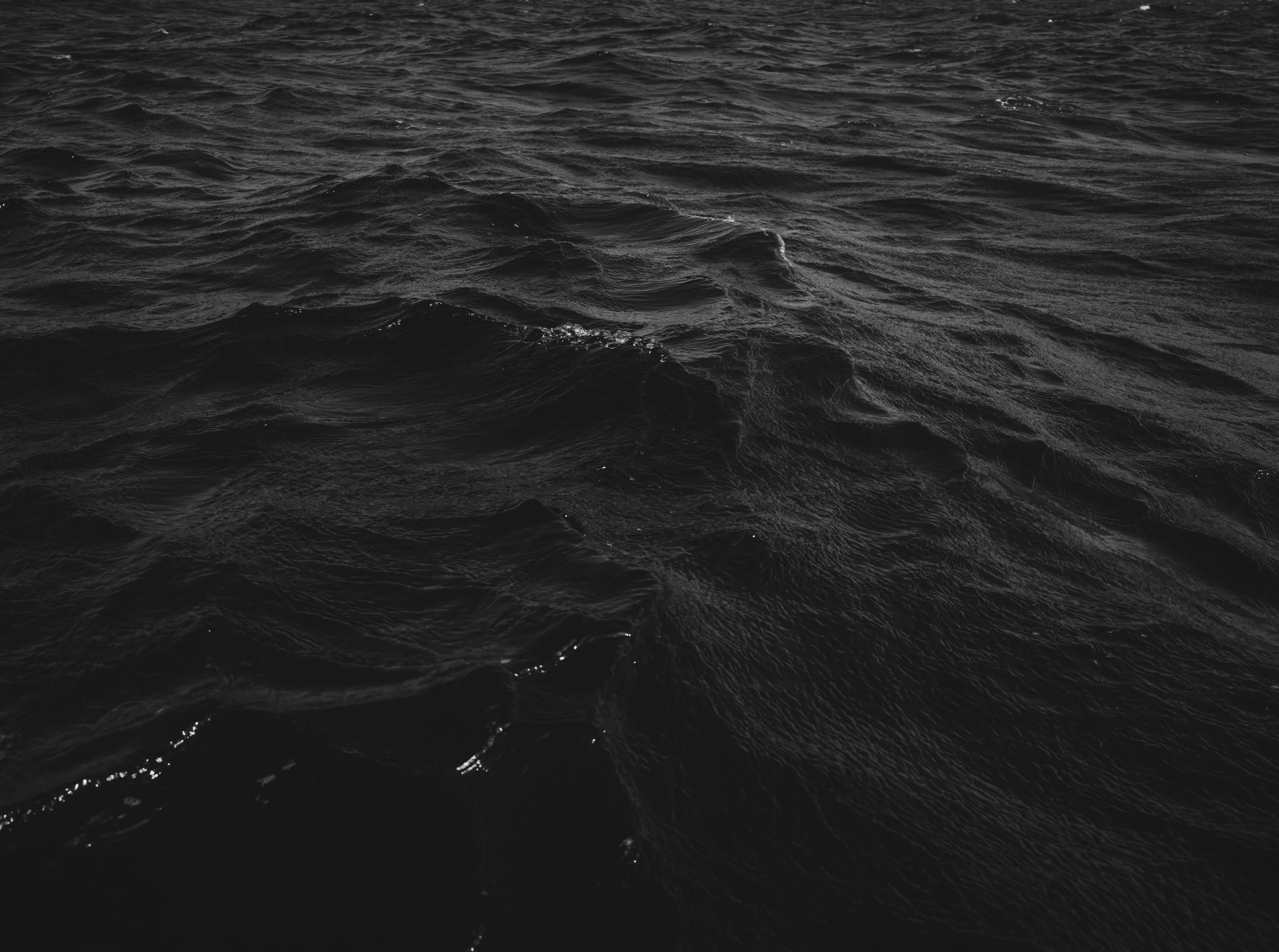
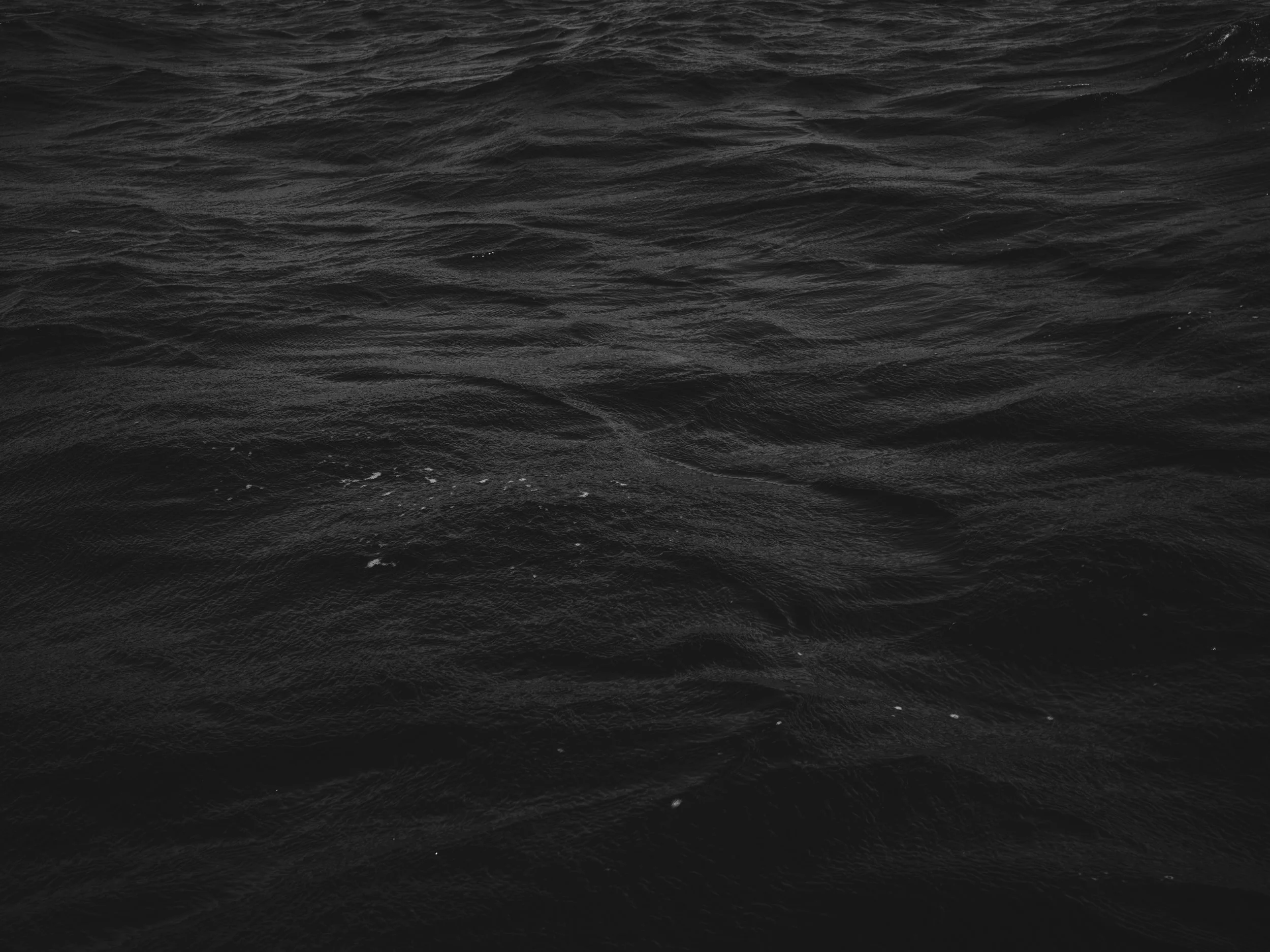
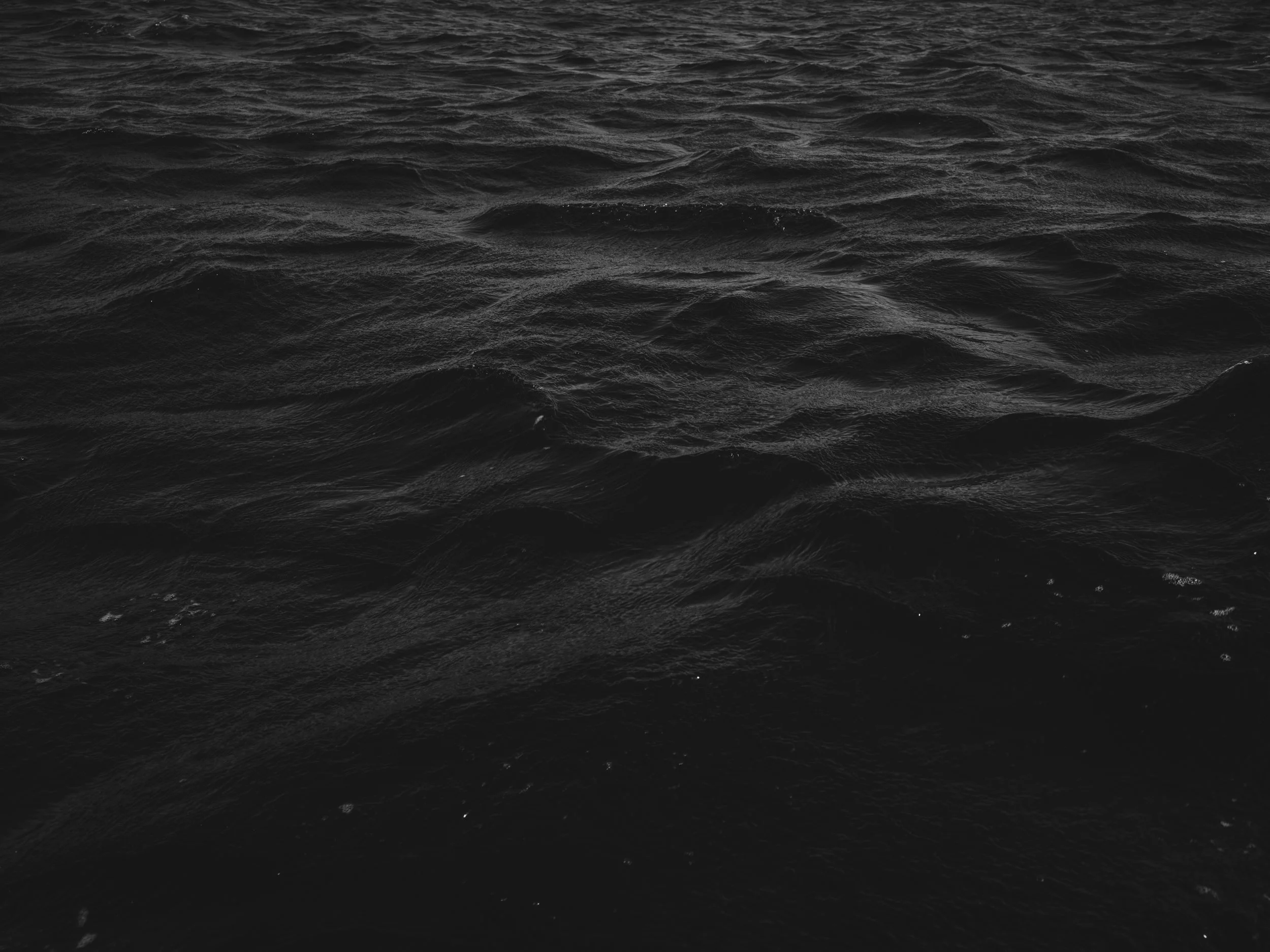
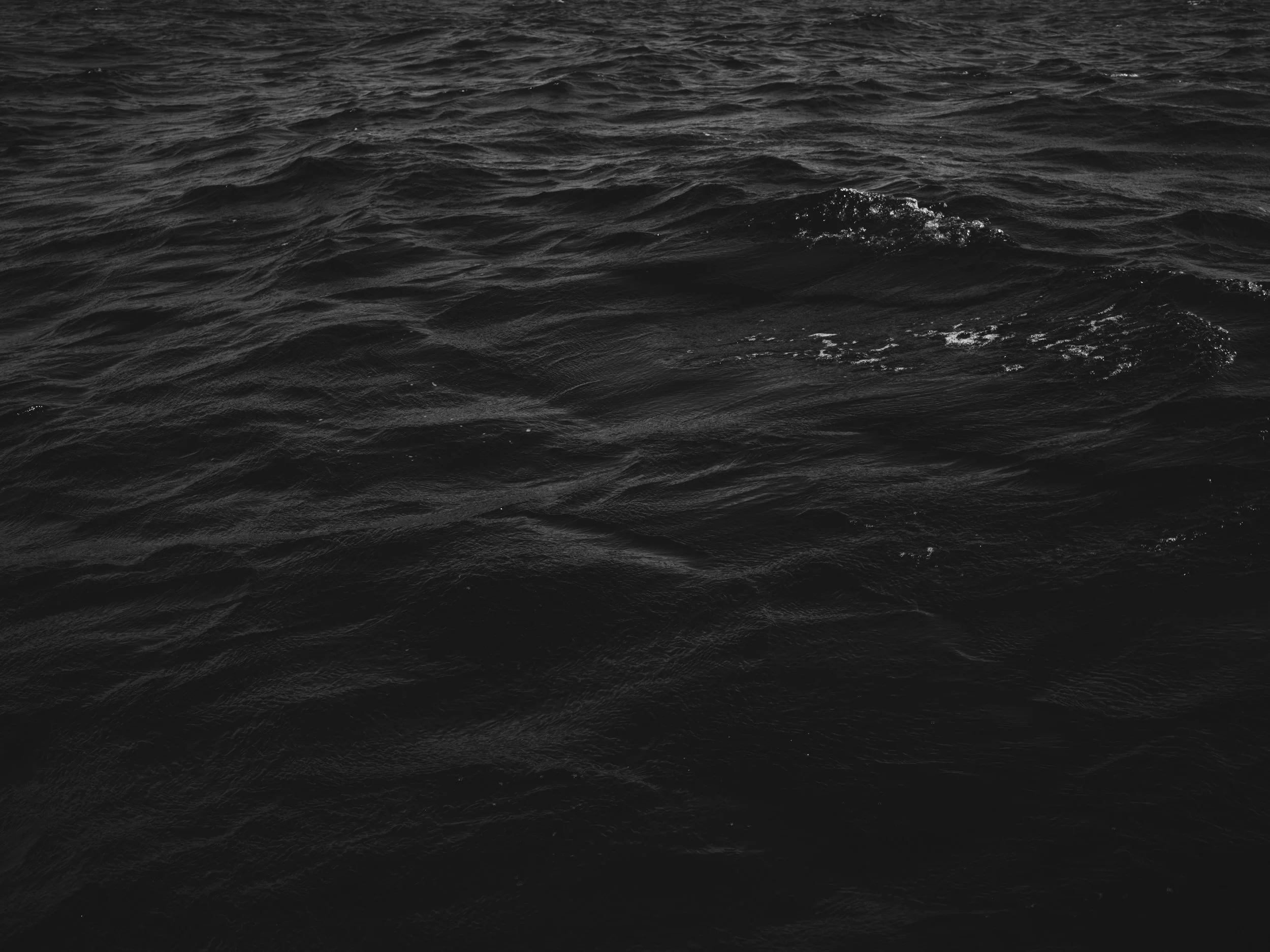
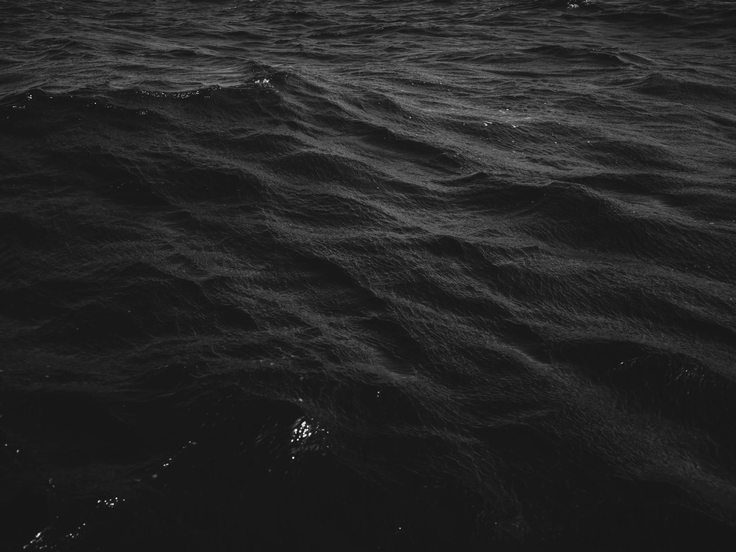
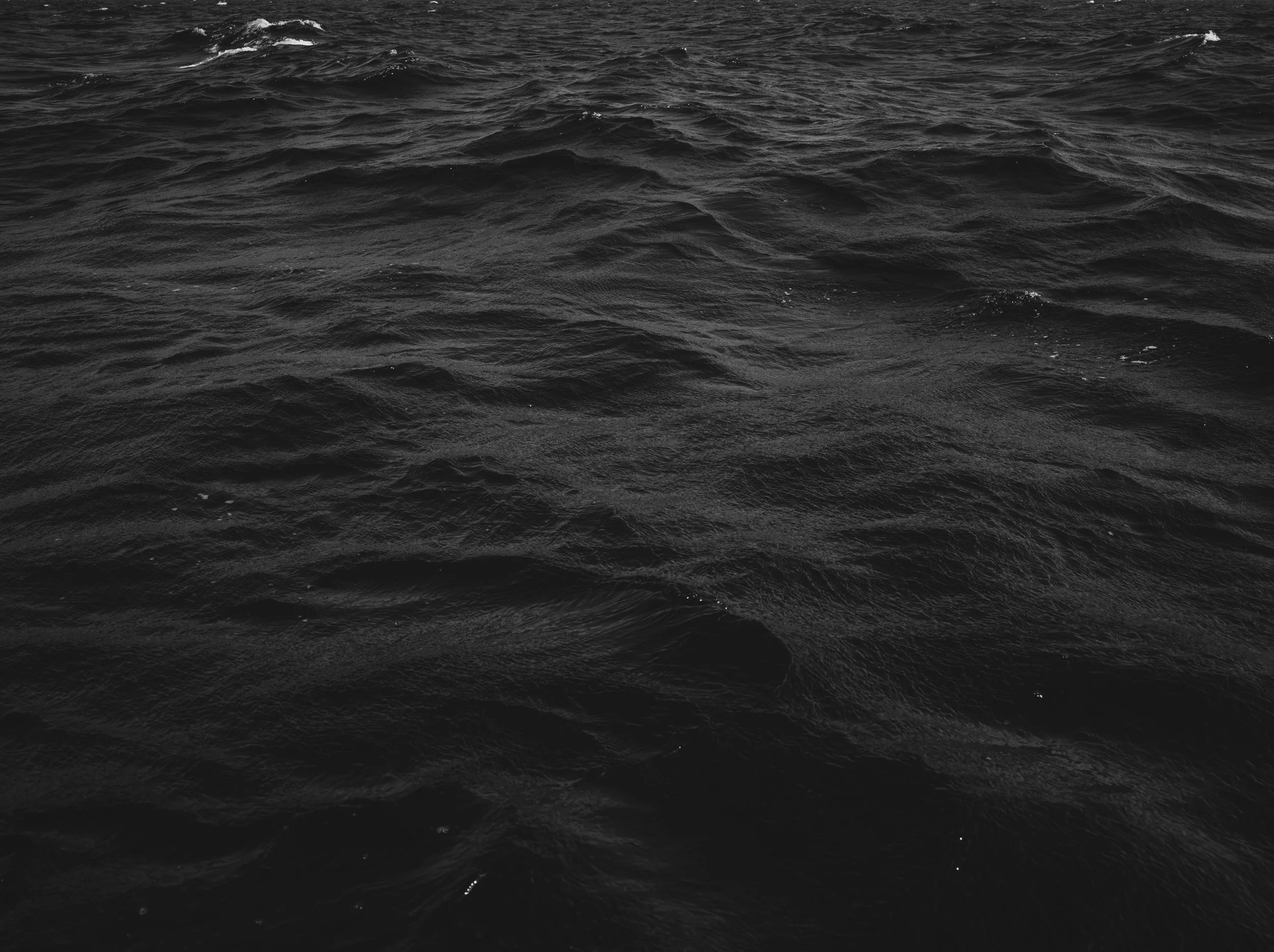
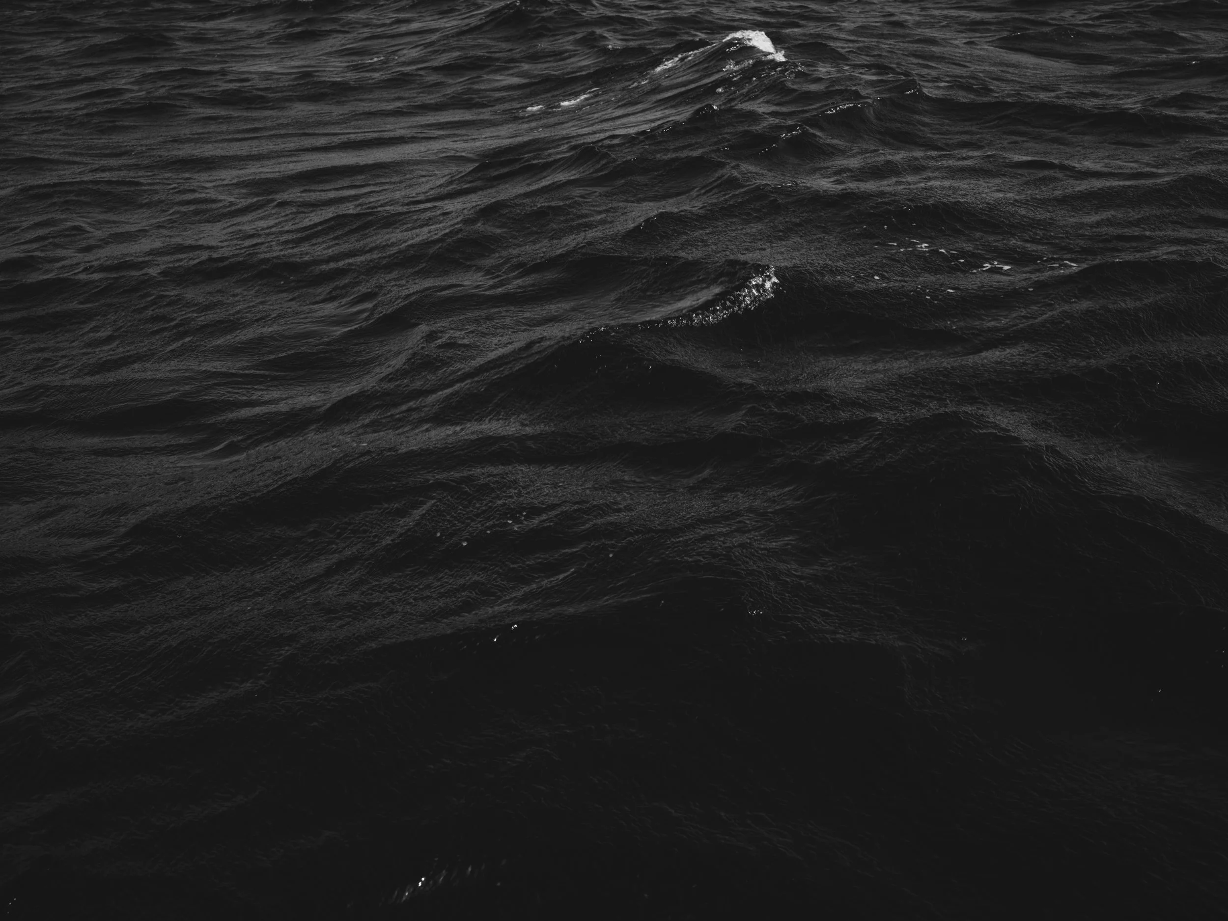
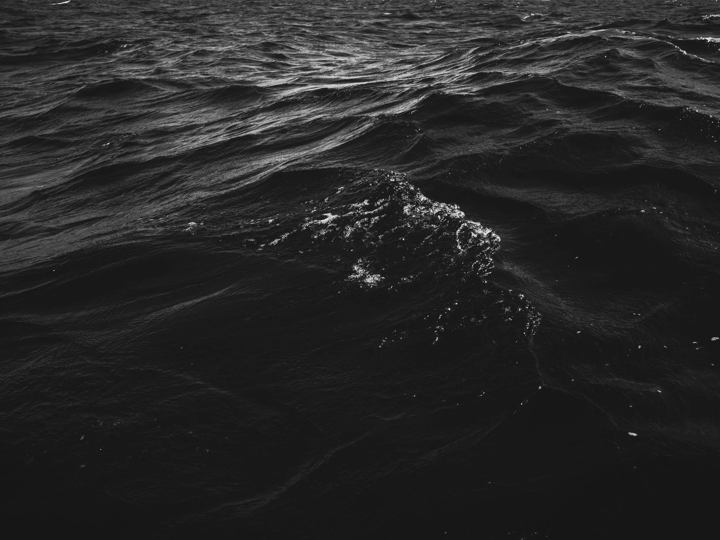
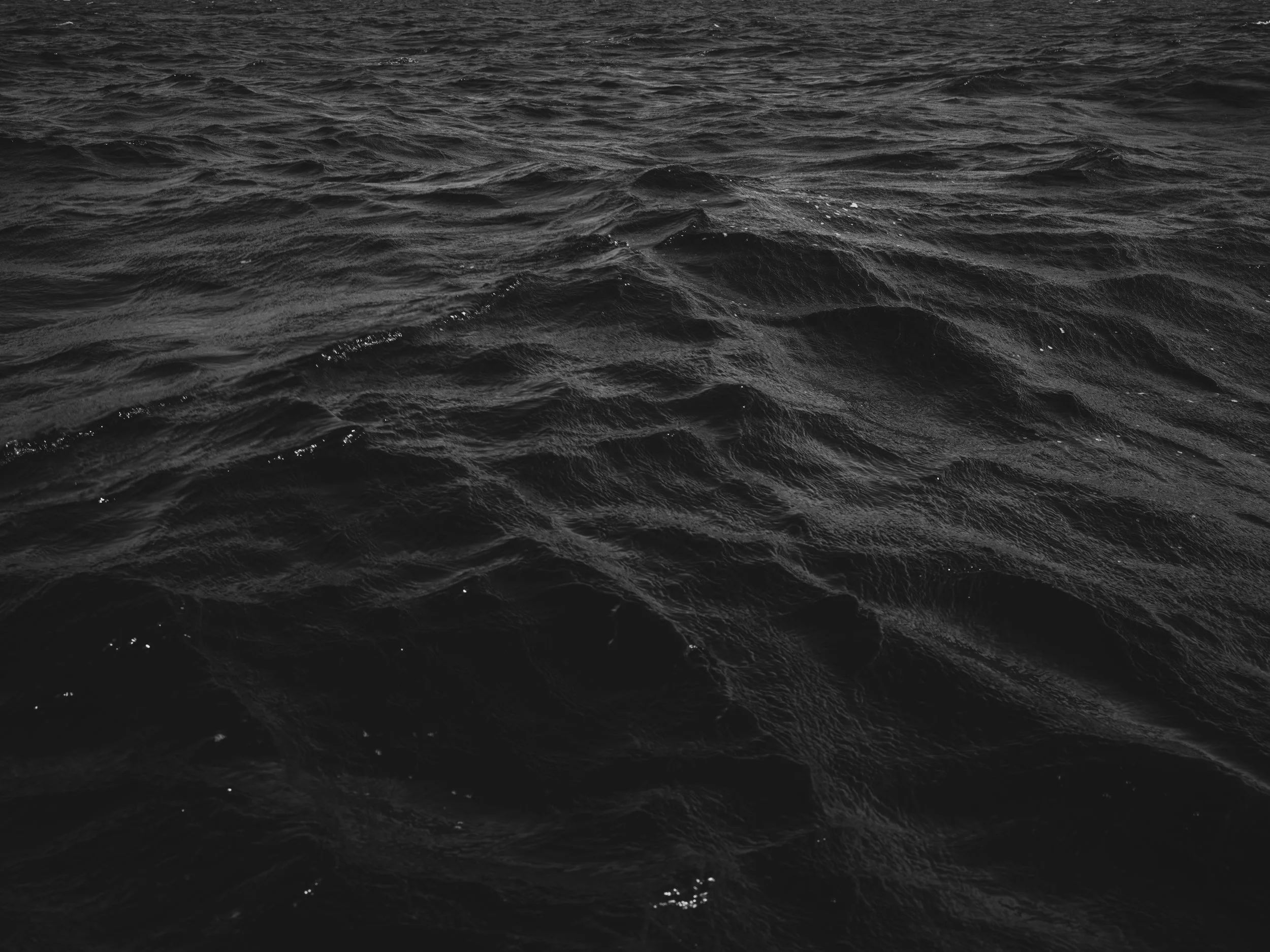
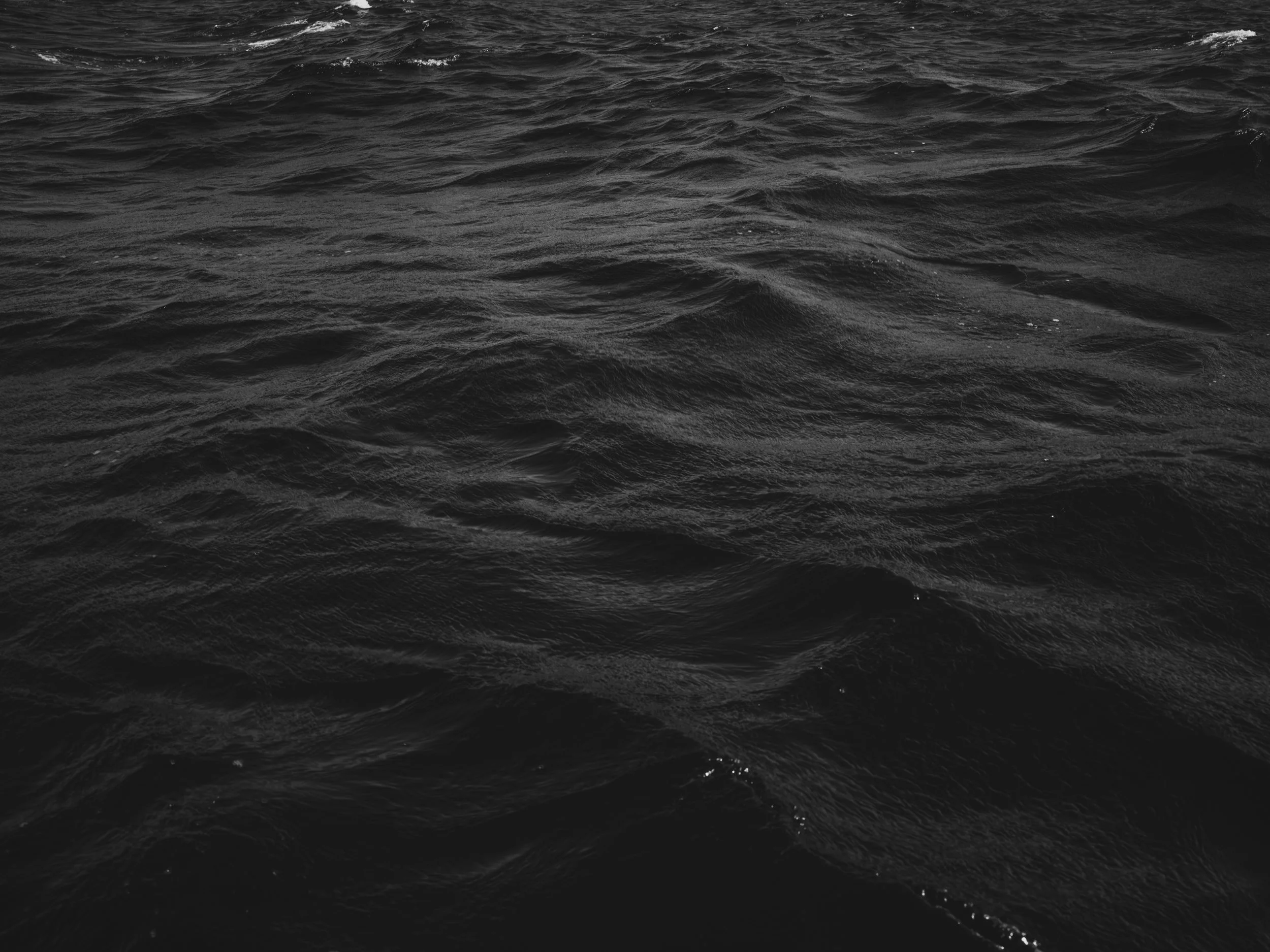
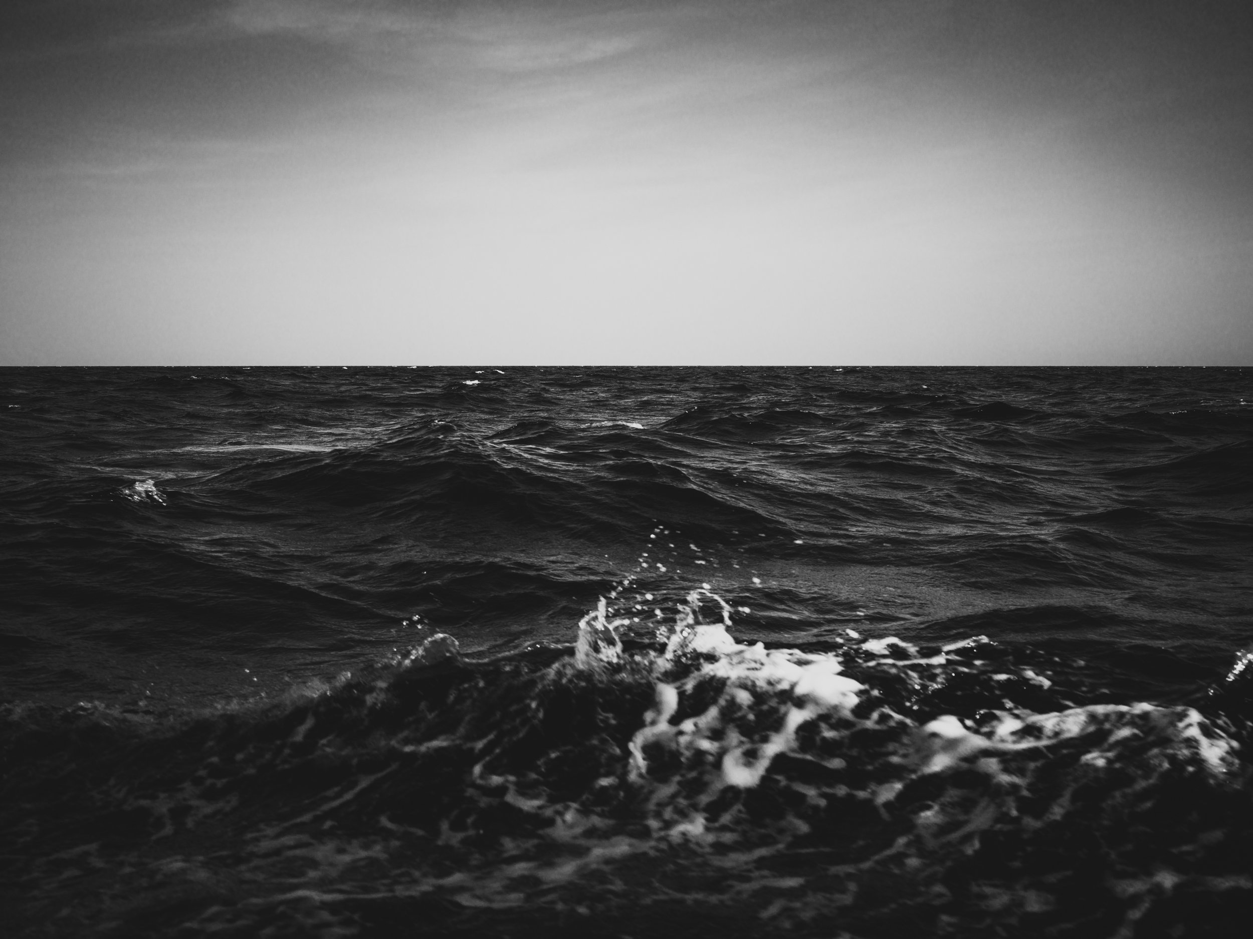
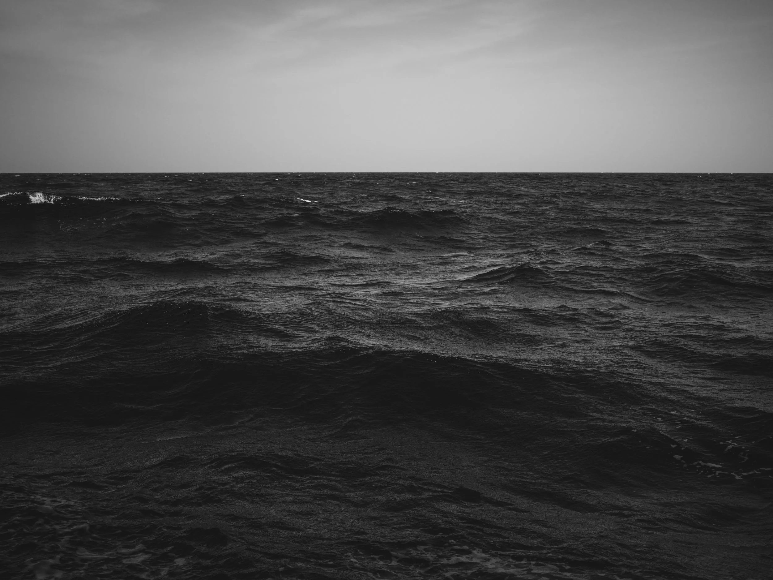
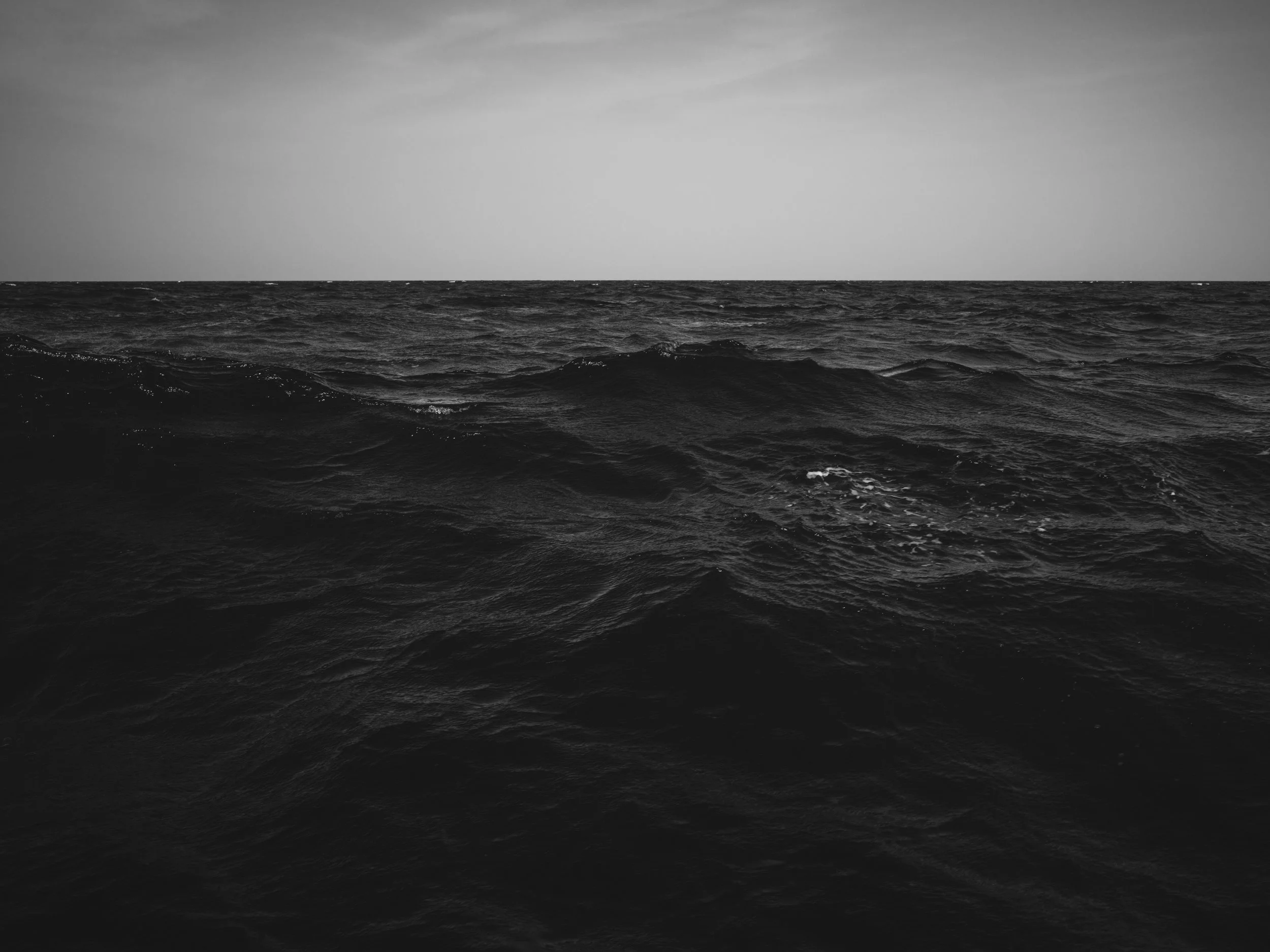
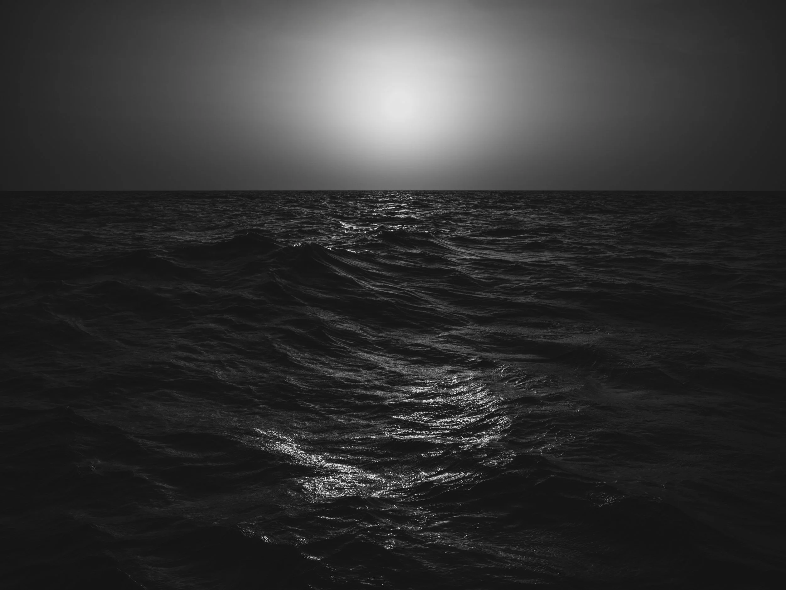
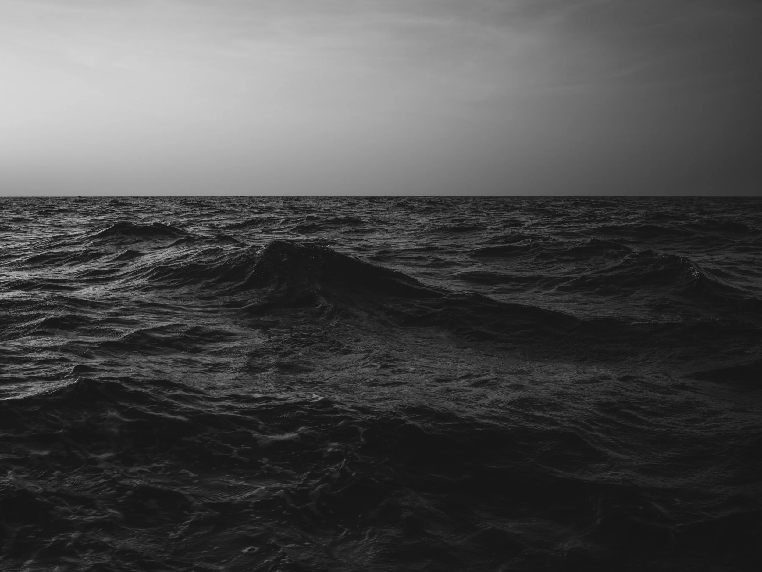
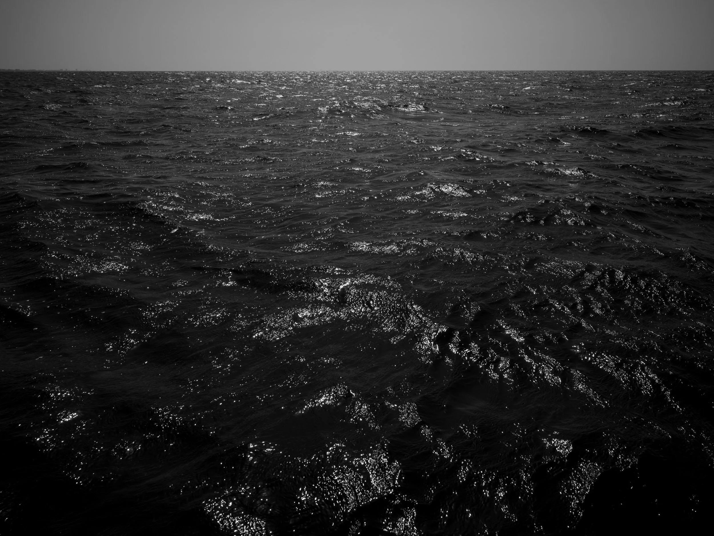
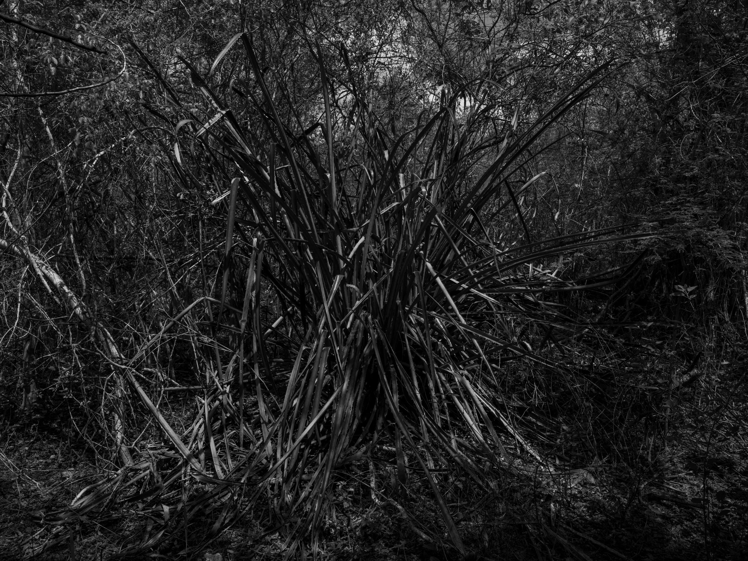
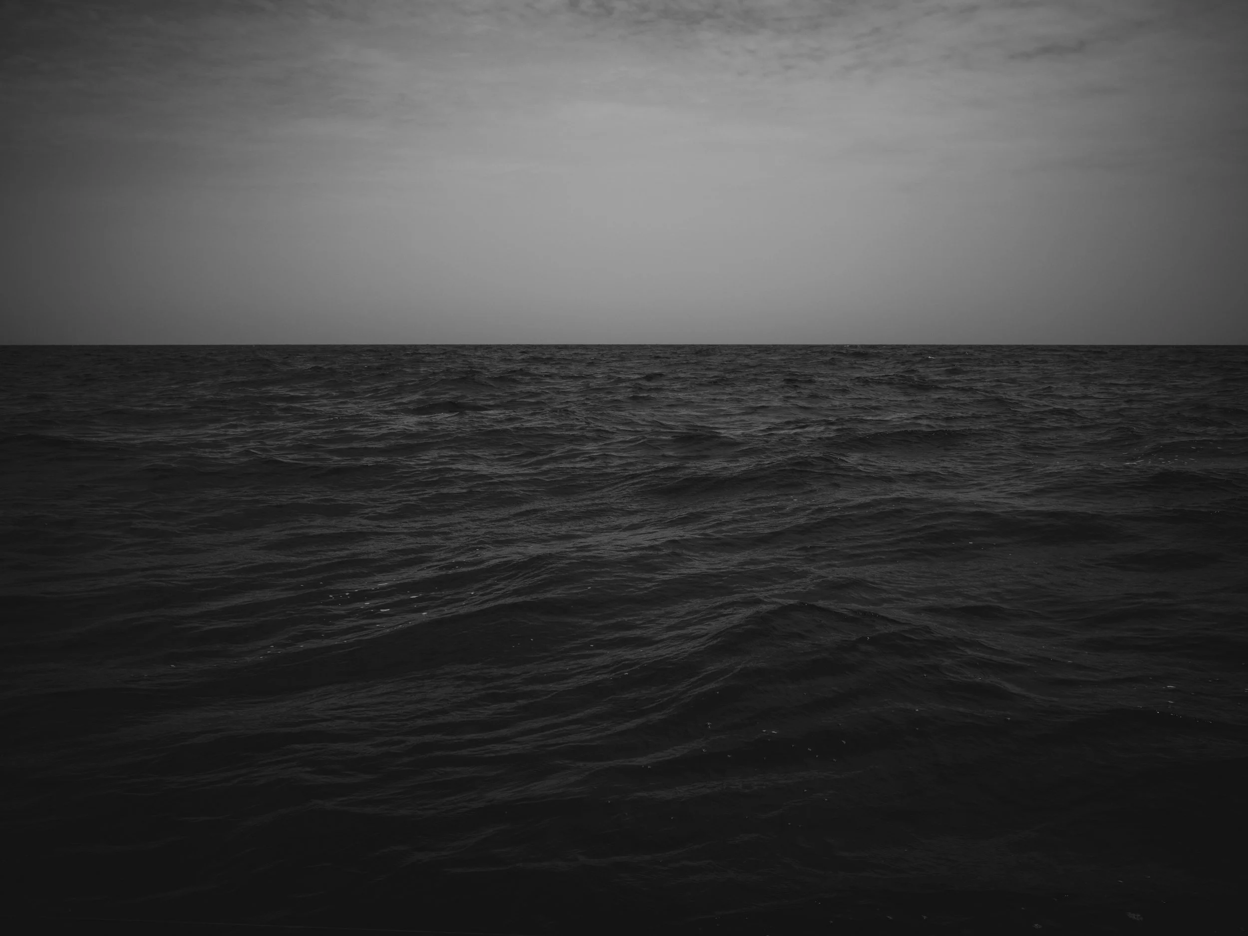
The Day the Earth Died is a multidisciplinary project that examines this event not as a distant catastrophe, but as a lived landscape—one whose physical traces remain embedded in terrain, rock, and scientific memory. Using photography as its foundation, the current phase of the project documents sites central to the understanding of the Chicxulub impact—the first being the buried crater itself, mapped using GPS and photographed at 10 degree intervals through its circumference in the Yucatán. Later this year the project will include photographs from locations in Texas and North Dakota where evidence of the impact was eventually identified. These landscapes, quiet and unassuming, function as proxies for deep time, holding the residual marks of forces far beyond human scale.

The photographic work will be expanded through drawing and sculpture informed by asteroid, geological strata, fossil records, sediment layers, and impact debris. These works translate scientific evidence into tactile and visual forms, emphasizing materiality, accumulation, and rupture. Rather than illustrating the event, they engage with its fragments—inviting viewers to consider how catastrophe is recorded, preserved, and made legible across time.

By weaving together landscape, material evidence, and scientific inquiry, The Day the Earth Died considers extinction not as an endpoint, but as a formative condition of life on Earth—one that continues to shape the present. The project asks how we understand deep time, how we read catastrophe in the land, and what it means to stand within the long shadow of planetary change.
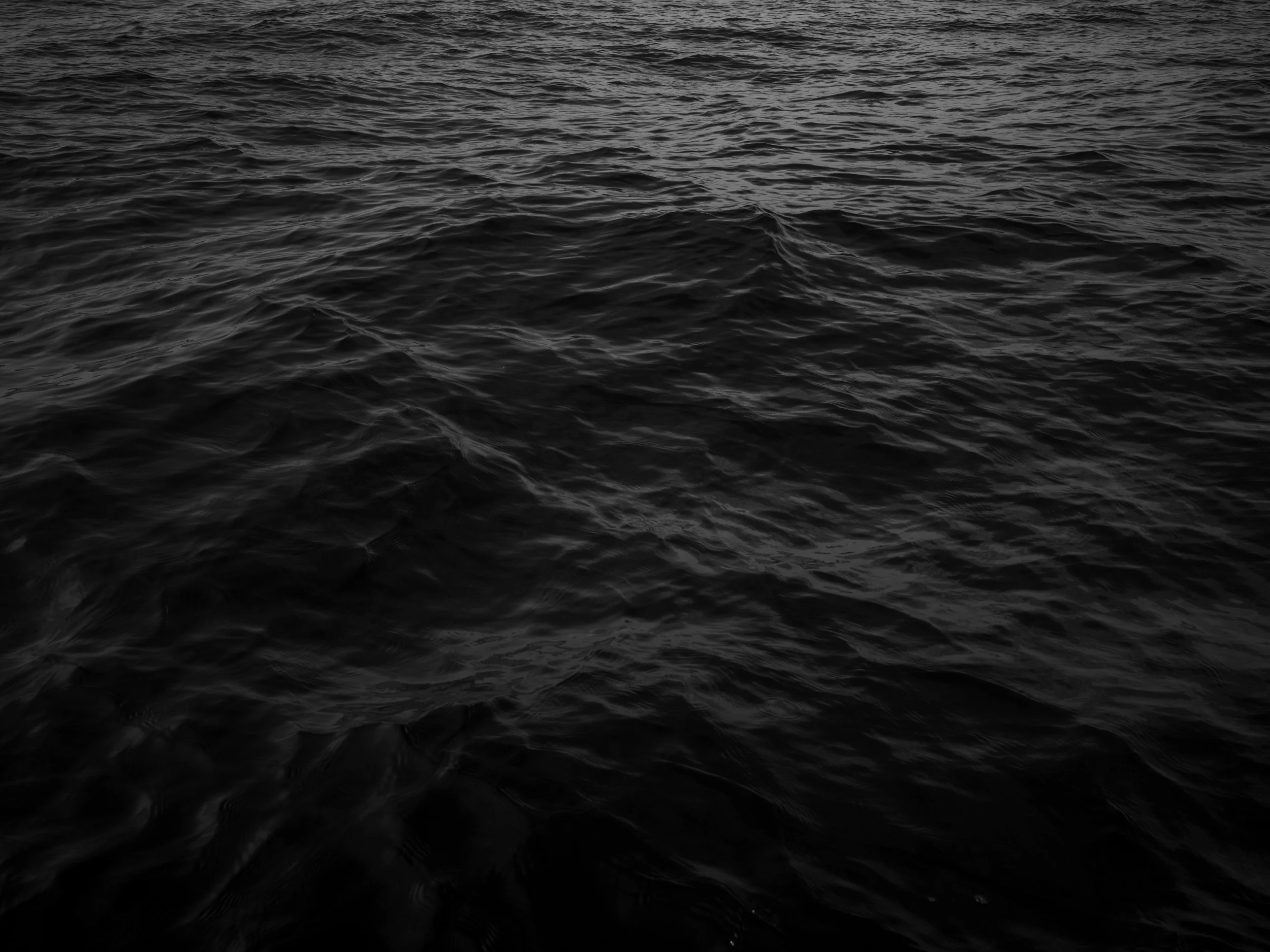

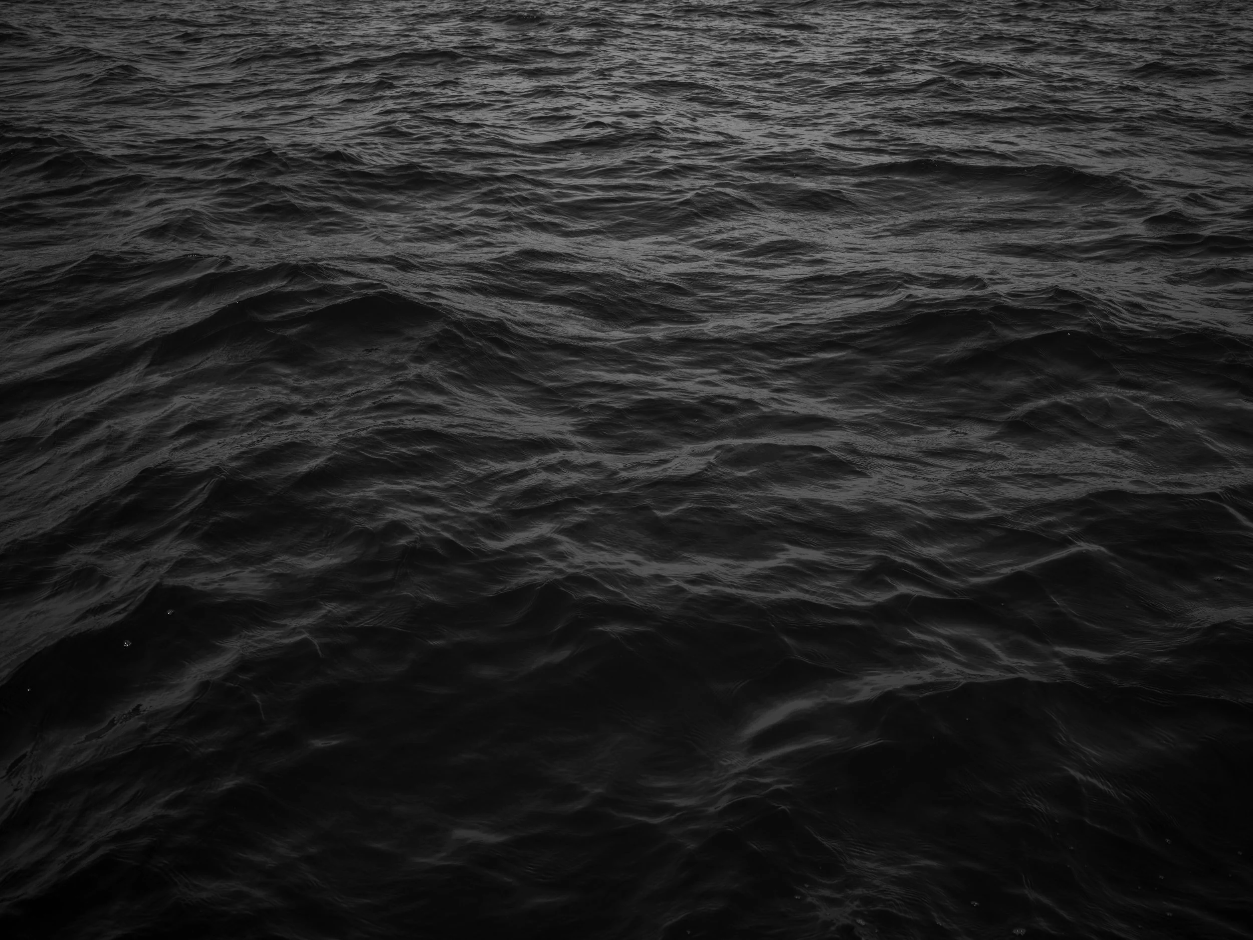
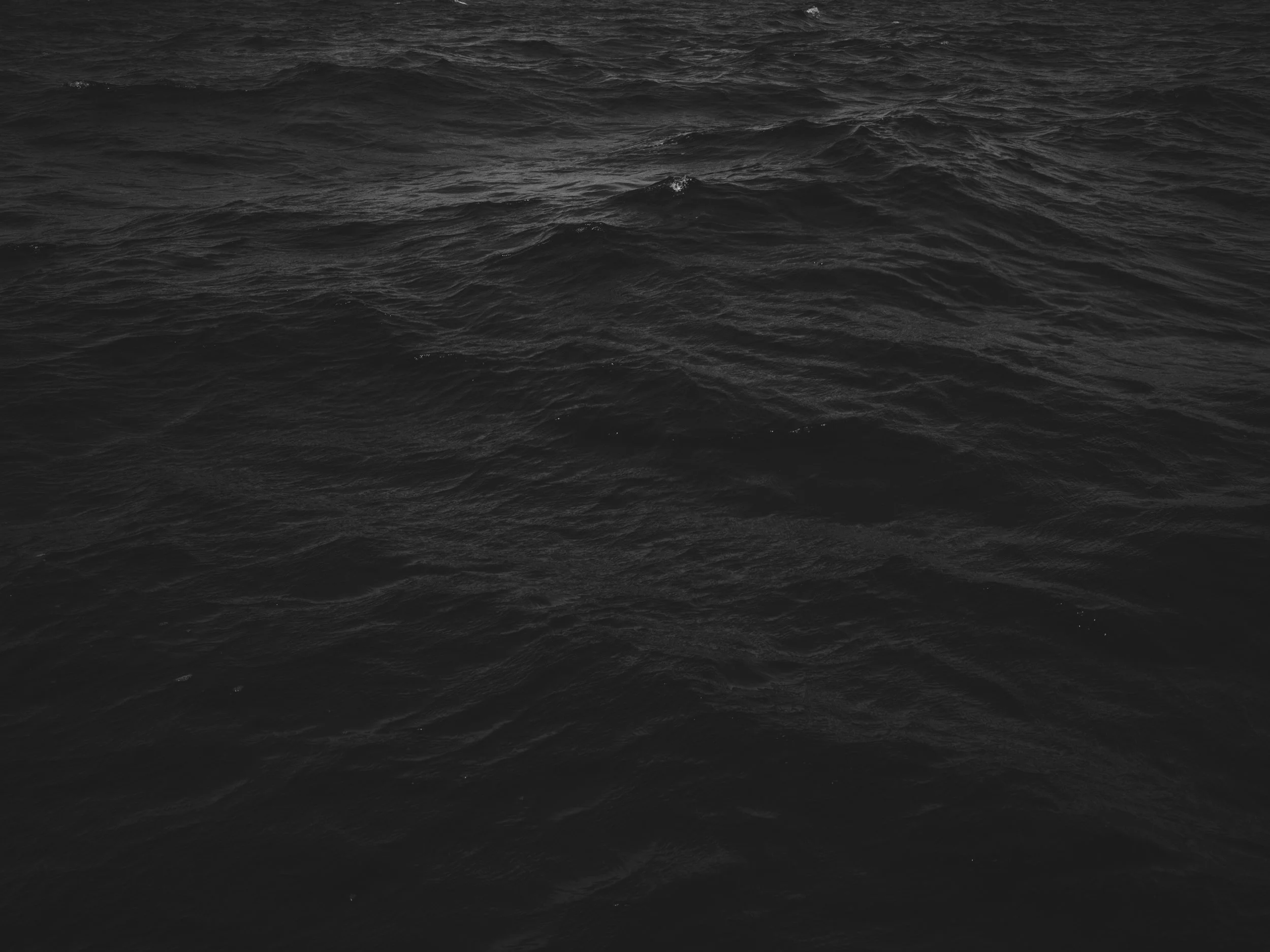
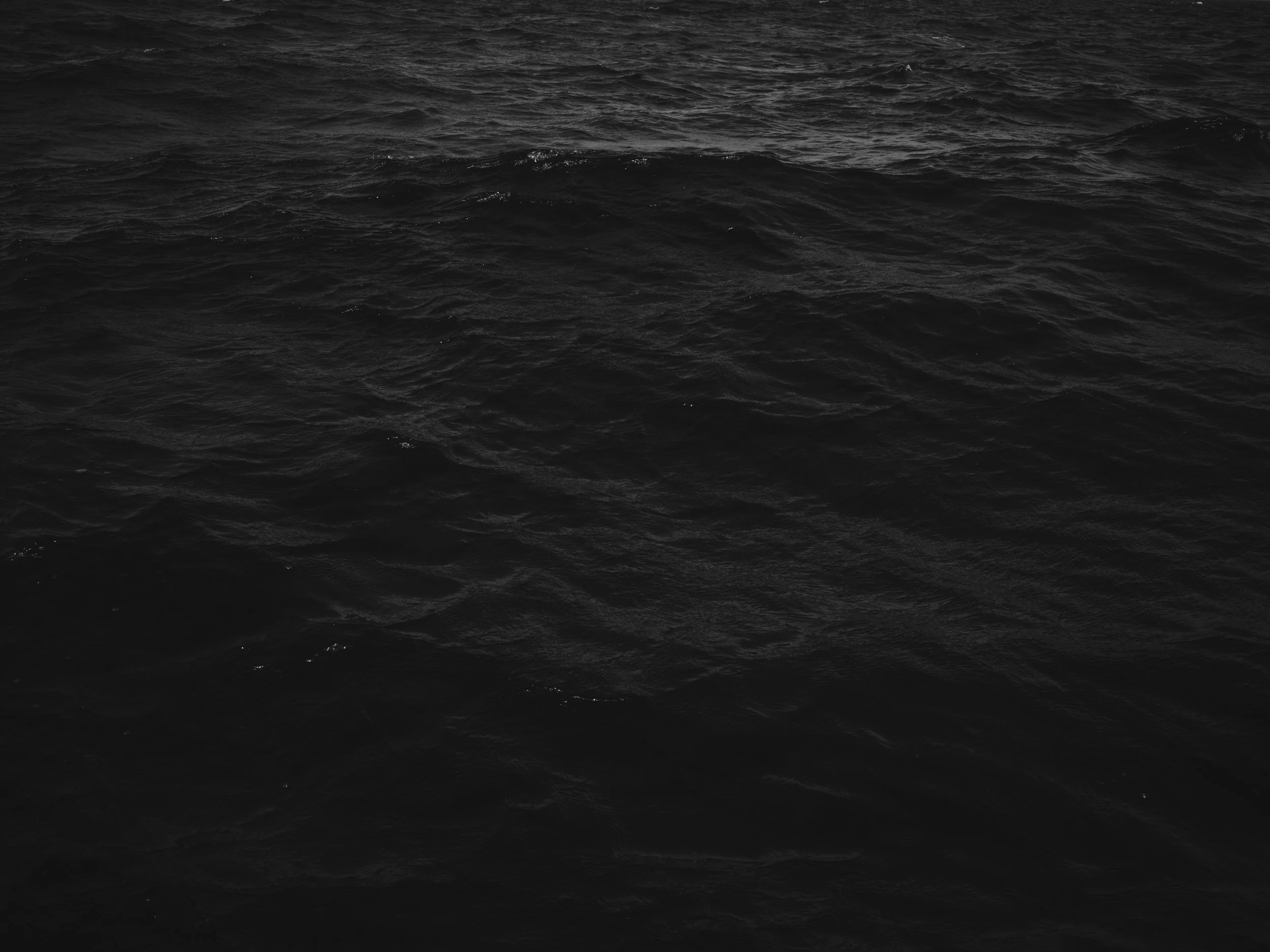
Dark, rippling ocean surface with no objects visible.
Diagram of circumference of Chicxulub Crater with a pink dot labeling the point of photograph and it's coordinates 22.00449, -89.50000.
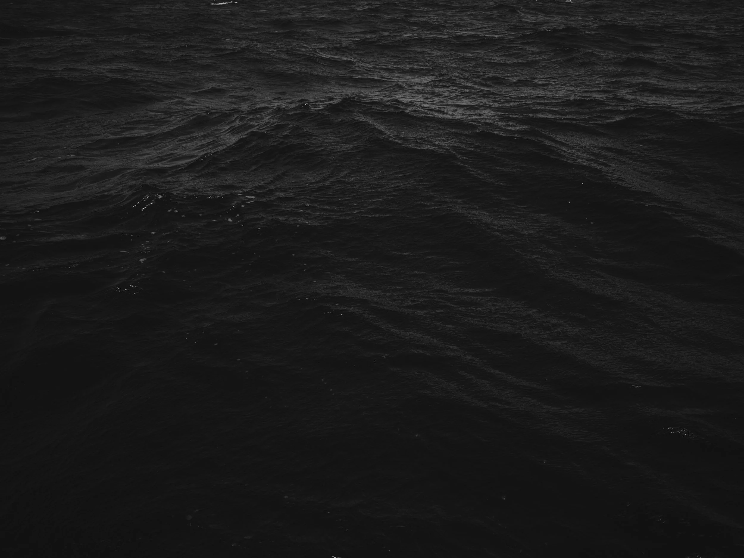
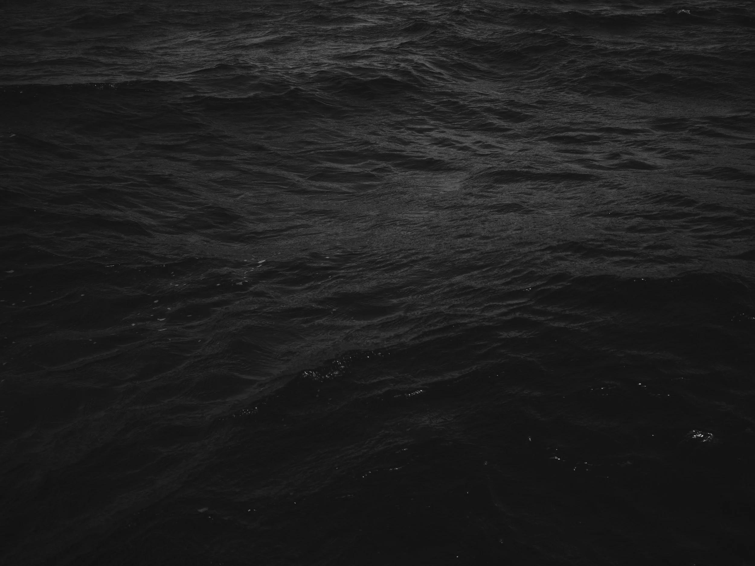
Black ocean water with ripples and waves.
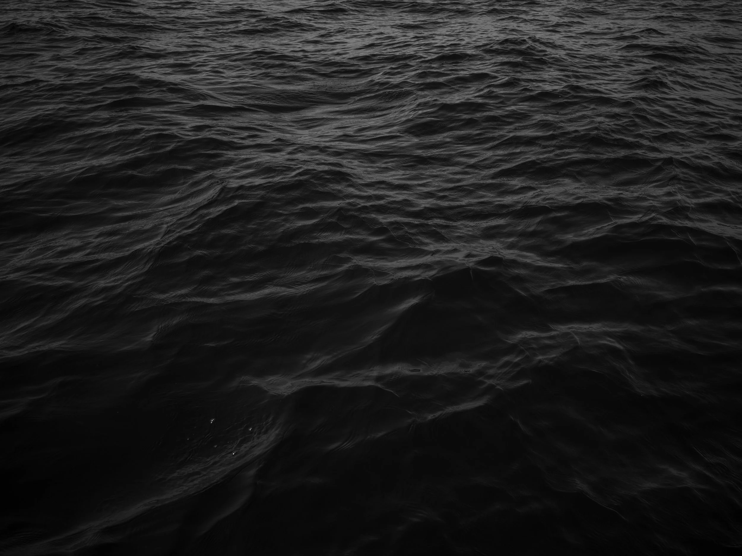
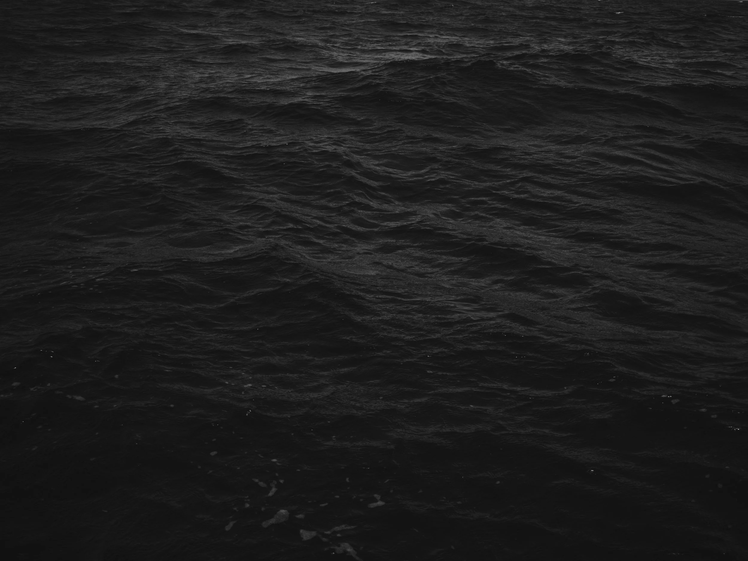
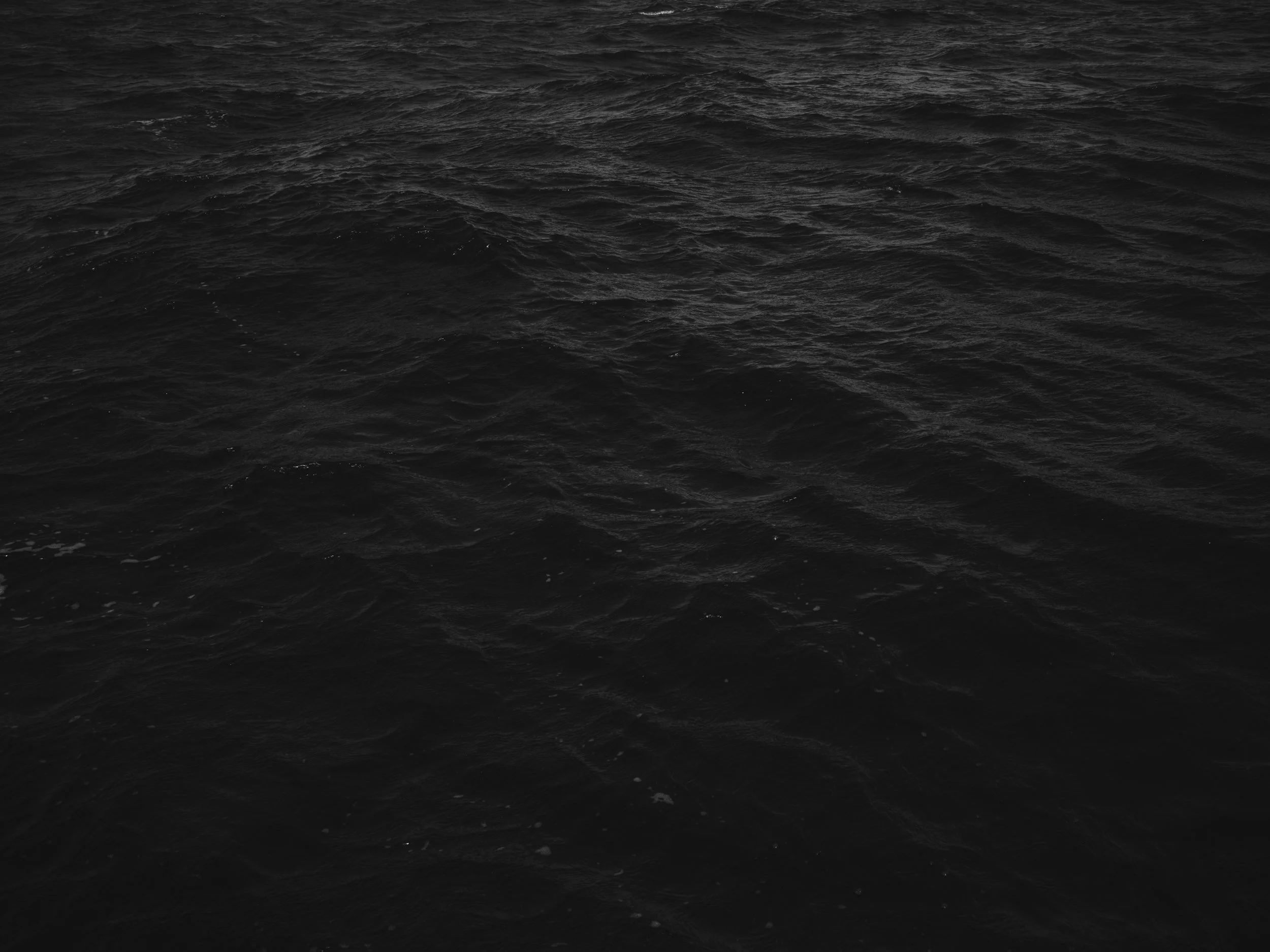
Dark, choppy ocean water with no visible land or objects.
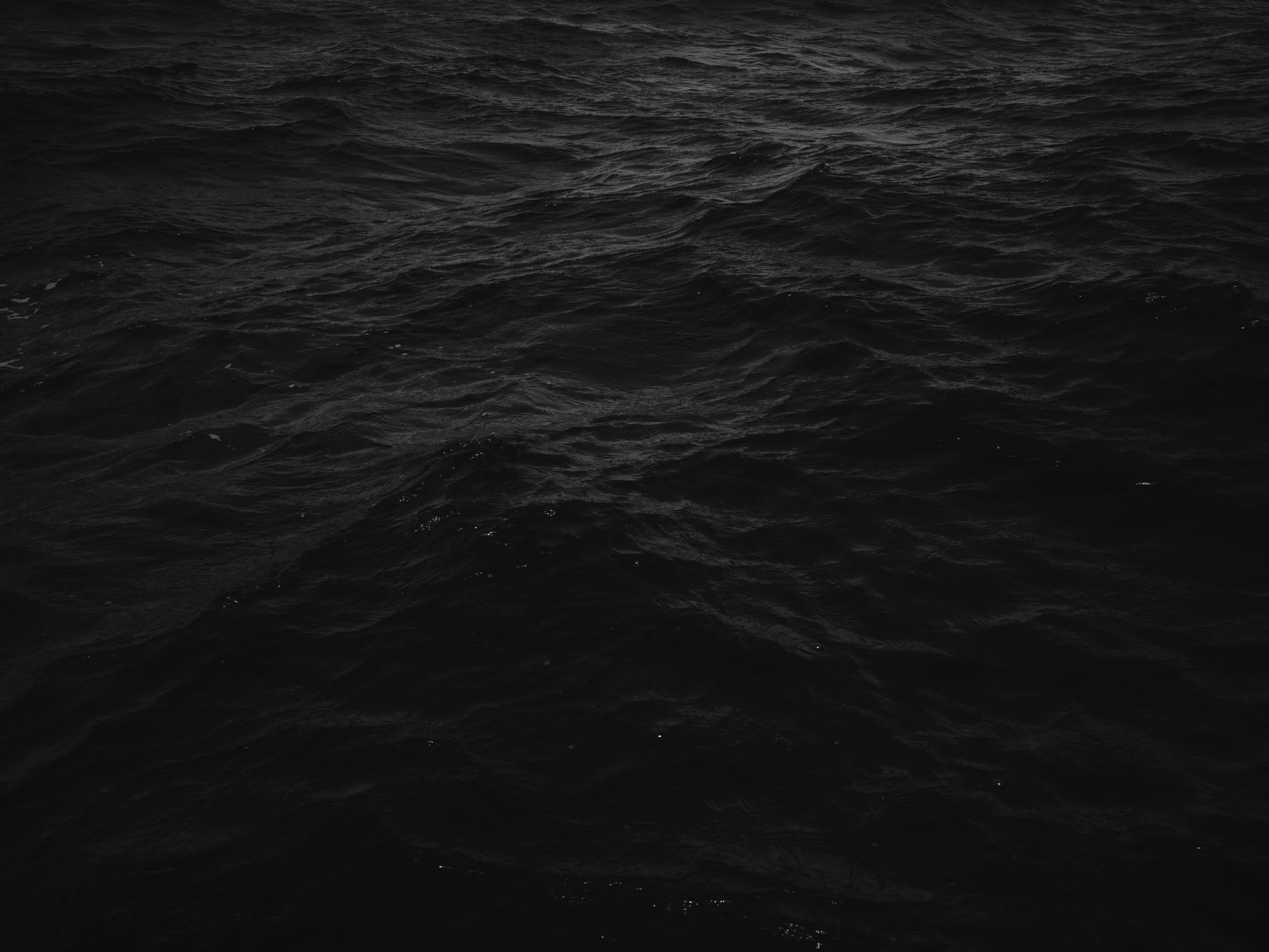
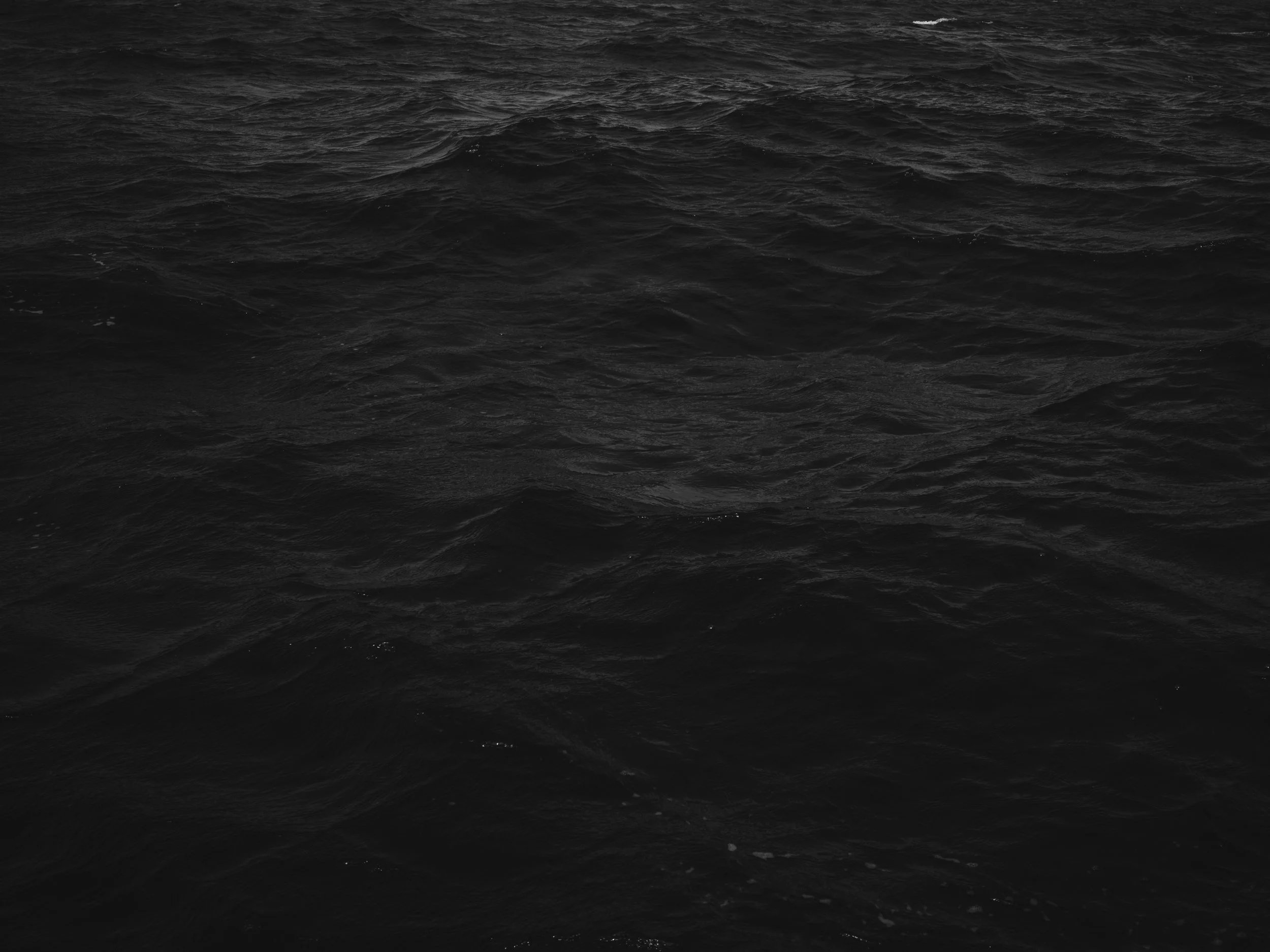
Dark ocean waves with no visible objects or land.
Black and white photograph of ocean waves with ripples and textures.
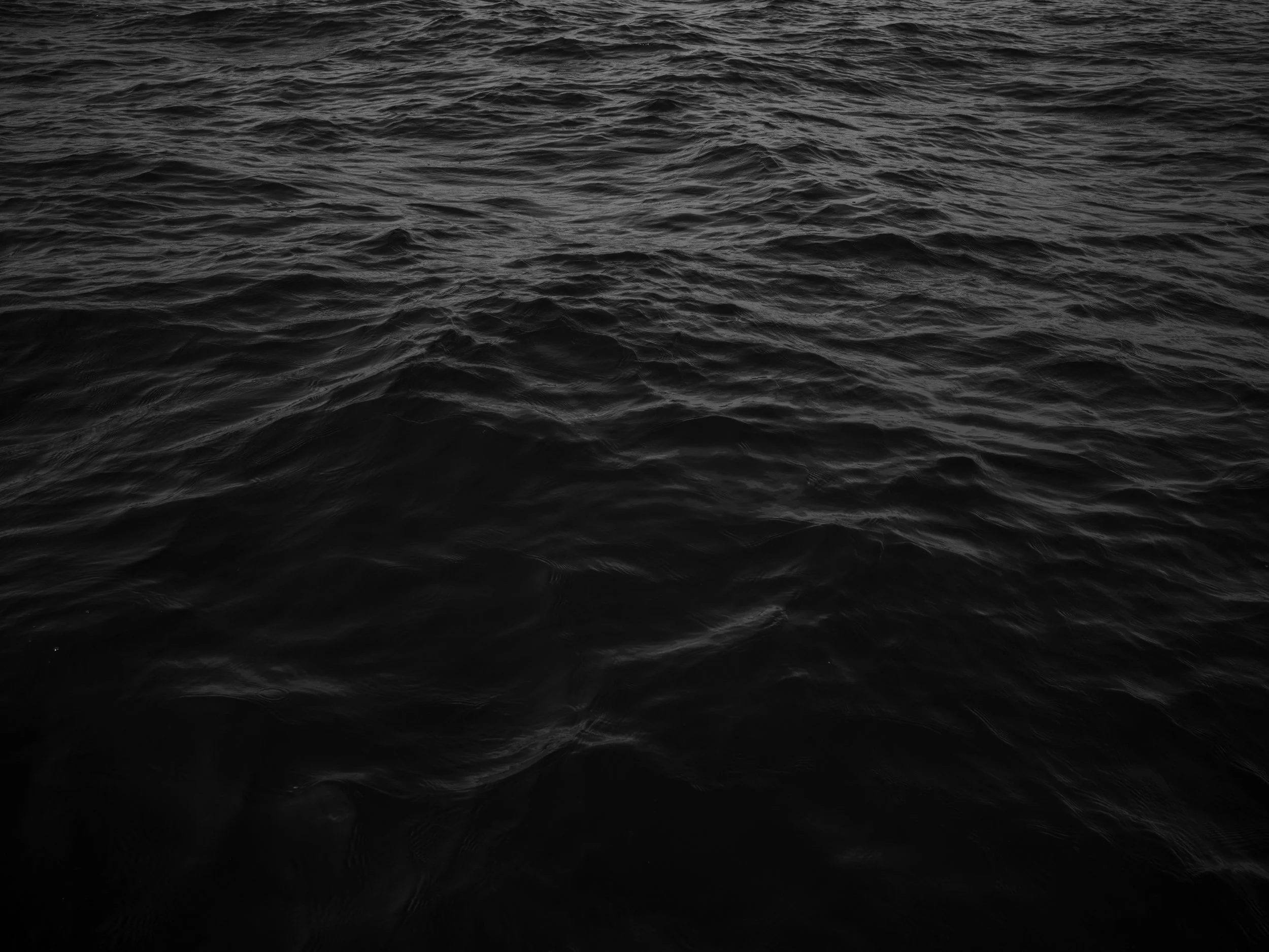
Dark, choppy ocean water with small waves.
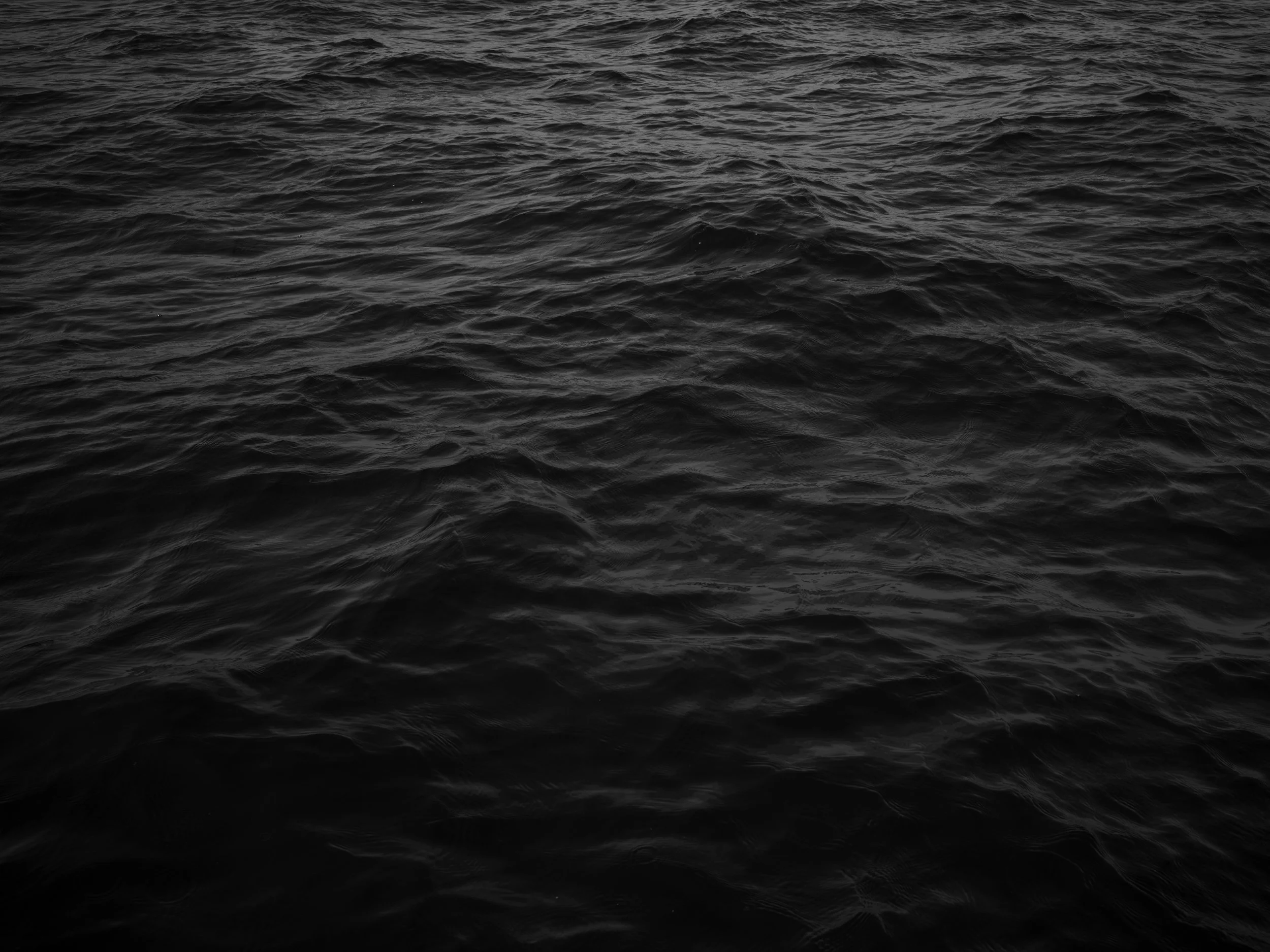
Dark, choppy ocean water with no visible land or objects.
Open water with choppy waves and no visible land or objects.
Dark, choppy ocean water with no visible land or objects.
Diagram of circumference of Chicxulub Crater with a pink dot labeling the point of photograph and it's GPS coordinates 21.99420, -89.37369.
Black and white image of a cloudy sky over the ocean.
Diagram of circumference of Chicxulub Crater with a pink dot labeling the point of photograph and it's coordinates 21.96363, -89.25126.
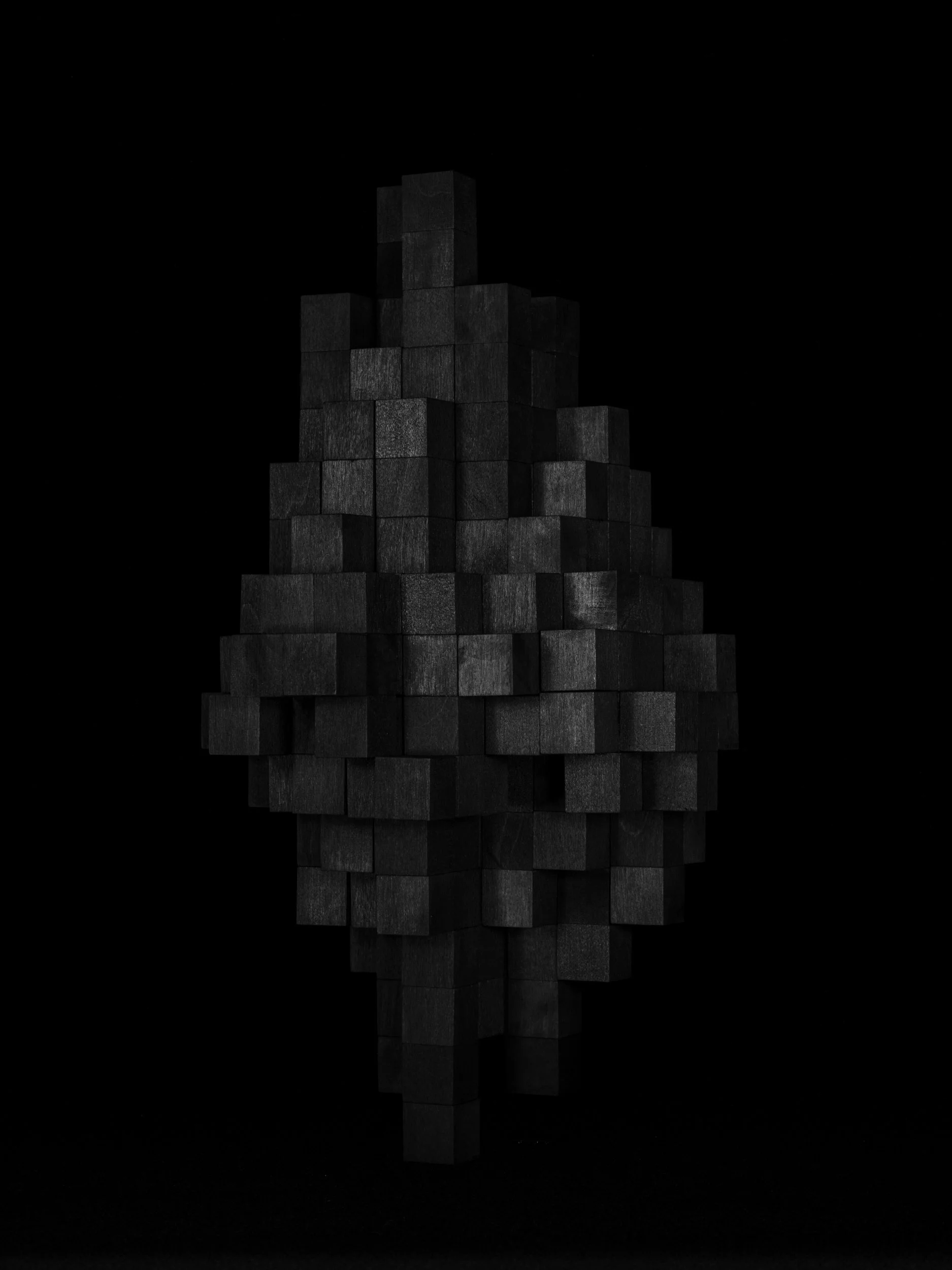
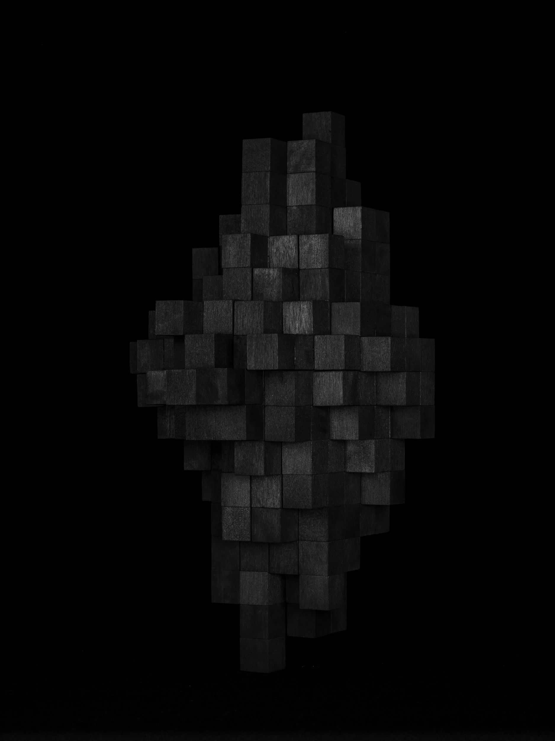
A modern sculpture simulating a pixelated, low resolution image of an asteroid—made of black cubes stacked in an abstract shape against a black background.
A black background simulating the dark black of space.
A modern sculpture simulating a pixelated, low resolution image of an asteroid—made of black cubes stacked in an abstract shape against a black background.

Study of an asteroid, No. 1
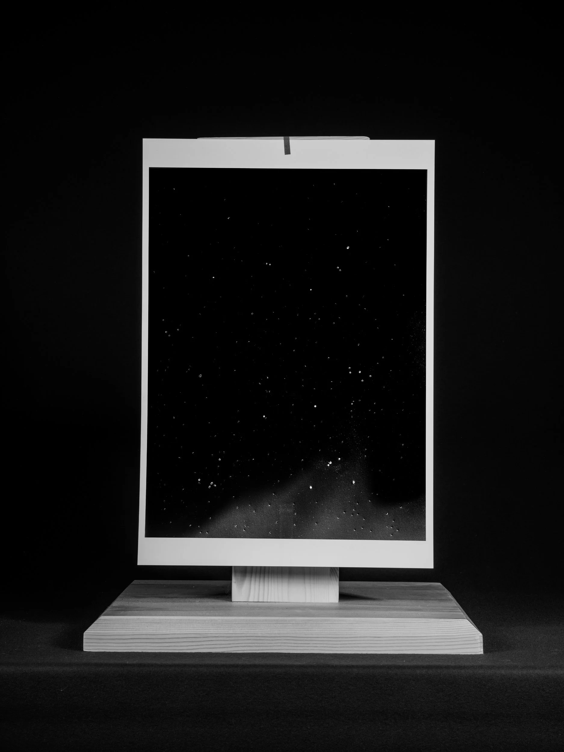
A black and white photograph of an art installation featuring a starry night sky image framed on a wooden stand.

Study of starlight in the night sky, No. 1

Gray, overcast sky with cloud cover.
Dark ocean water with ripples and waves.
Diagram of circumference of Chicxulub Crater with a pink dot labeling the point of photograph and it's coordinates 21.91373, -89.13650.
Gray sky with scattered clouds.
Dark ocean water with small waves and white foam.
Diagram of circumference of Chicxulub Crater with a pink dot labeling the point of photograph and it's coordinates 21.84604, -89.03291.
A black and white photograph of the ocean with calm water and a cloudy sky.
Gray sky with scattered clouds.
A black and white photo of a vast ocean with gentle waves, under a cloudy sky.
Diagram of circumference of Chicxulub Crater with a pink dot labeling the point of photograph and it's coordinates '21.76264, -88.94366'.
Gray overcast sky with scattered clouds.
Dark, choppy ocean water with no visible land or objects.
Diagram of circumference of Chicxulub Crater with a pink dot labeling the point of photograph and it's coordinates 21.66607, -88.87147.
Black and white photo of a cloudy sky with various cloud formations
A black and white image of a sky with clouds and a bright sun.
Diagram of circumference of Chicxulub Crater with a pink dot labeling the point of photograph and it's coordinates 21.55931, -88.81851.
Black and white photo of the ocean with a cloudy sky above.
Diagram of circumference of Chicxulub Crater with a pink dot labeling the point of photograph and it's coordinates 21.55931, -88.81851.
Black and white photo of ocean water with ripples and sunlight reflecting off the surface.
Calm ocean surface with gentle waves and sunlight reflecting off the water.
Diagram of circumference of Chicxulub Crater with a pink dot labeling the point of photograph and it's coordinates 21.44562, -88.78634.
A landscape scene in black and white featuring a river surrounded by trees and dense foliage, with a cloudy sky overhead.
A black and white photo of a dense forest with various trees and shrubs near a body of water under cloudy skies.
Diagram of circumference of Chicxulub Crater with a pink dot labeling the point of photograph and it's coordinates 21.32845, -88.77591
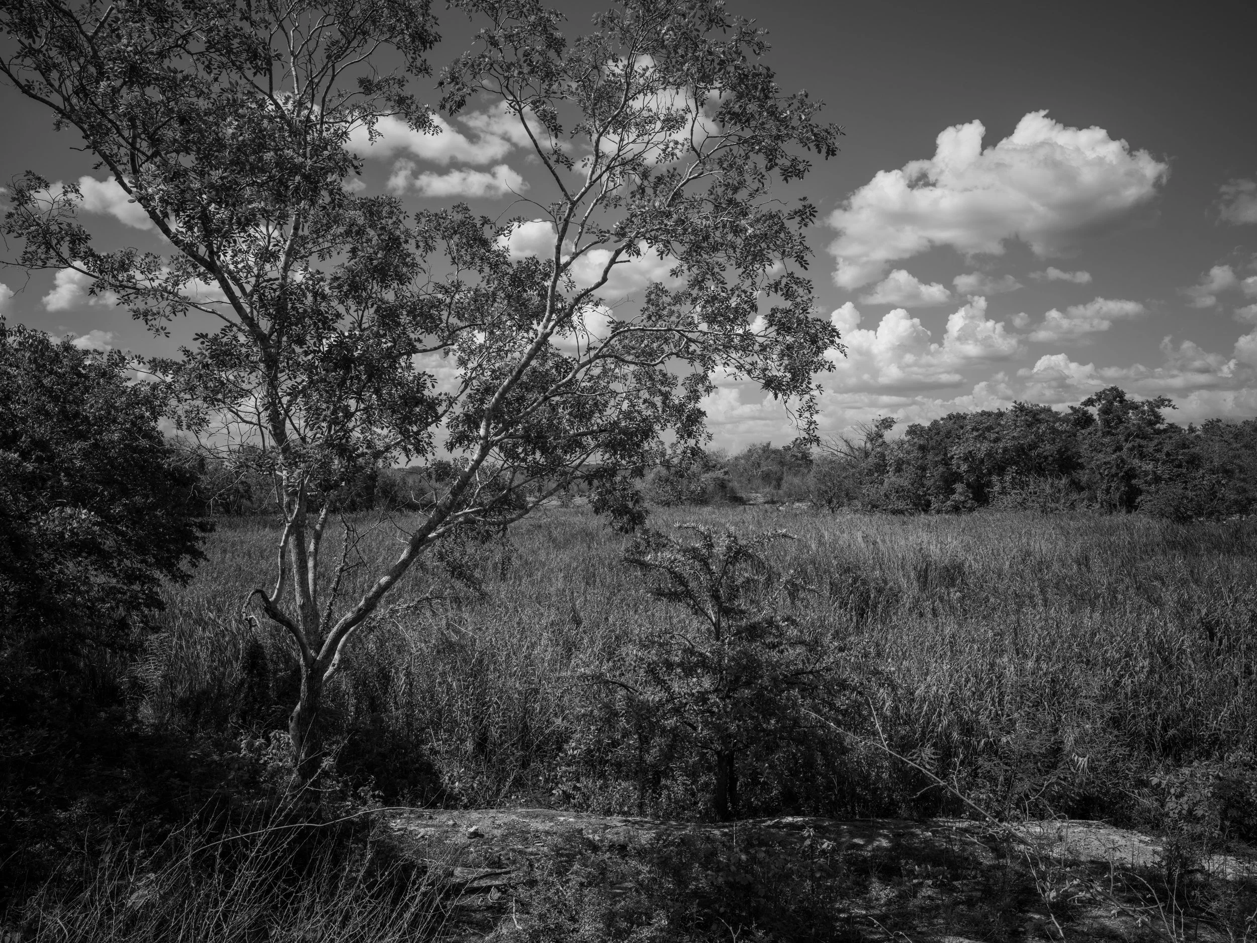
Black and white photo of a landscape with a tall tree in the foreground, grass, and bushes, under a partly cloudy sky.
Diagram of circumference of Chicxulub Crater with a pink dot labeling the point of photograph and it's coordinates 21.21138, -88.78748.
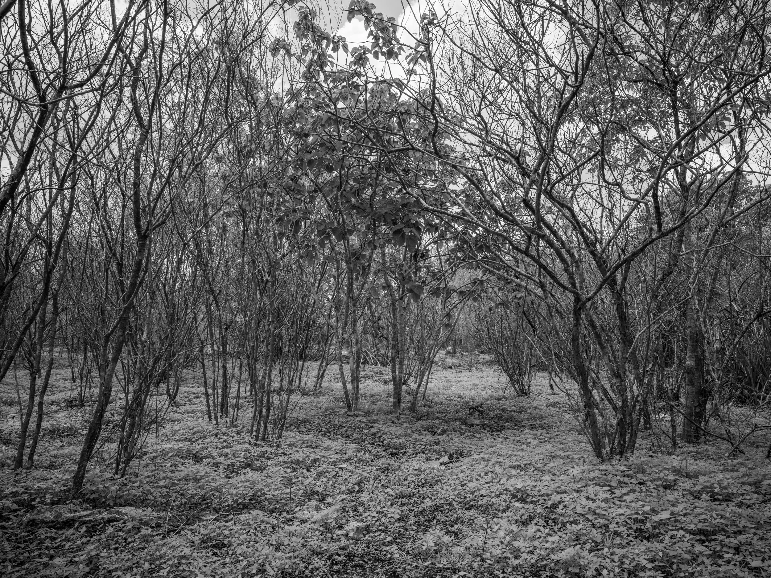
Black and white photo of a forest with leafless trees and some bushes on the ground.
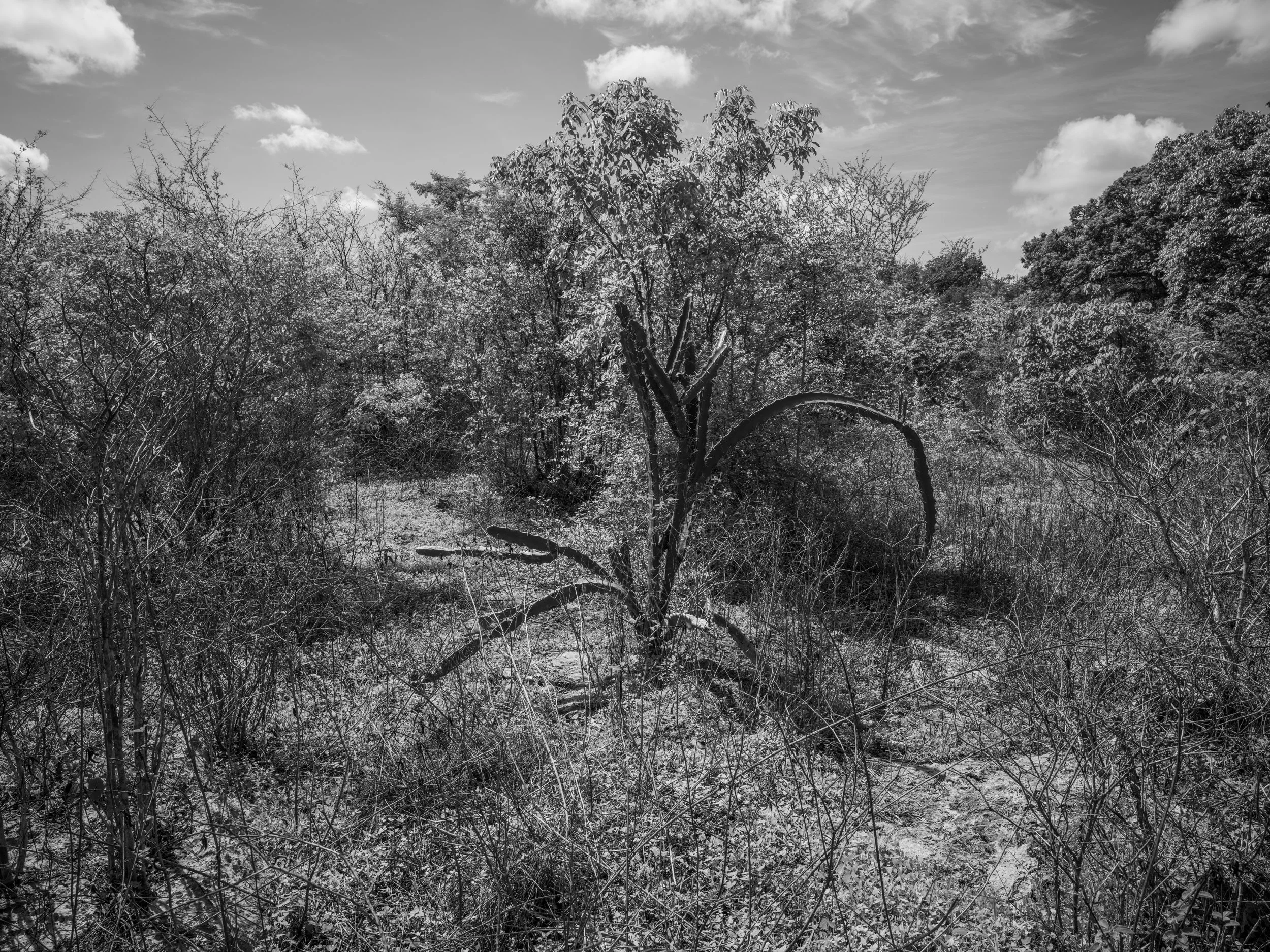
Black and white photograph of dense trees and bushes in a natural landscape under a partly cloudy sky.
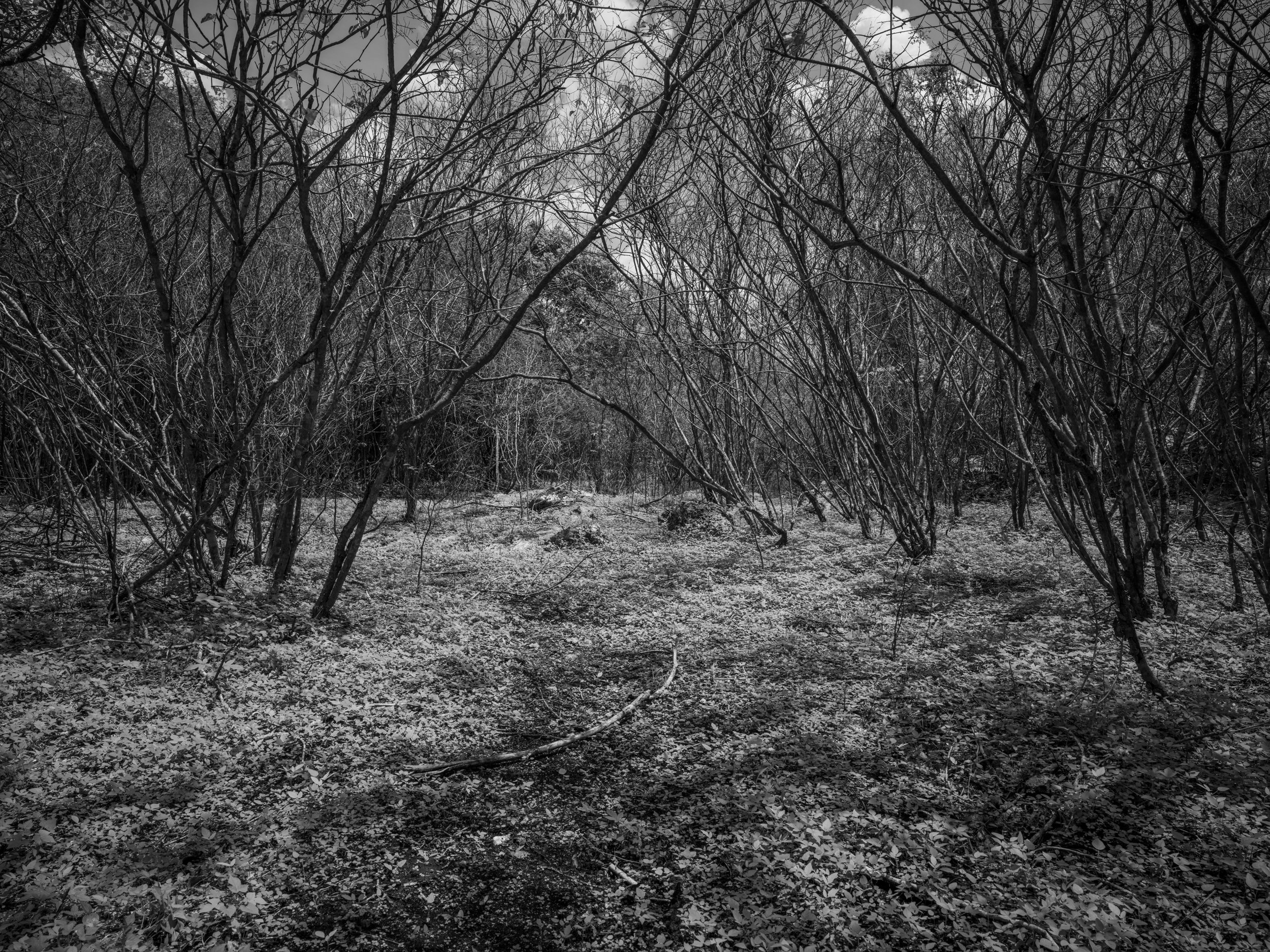
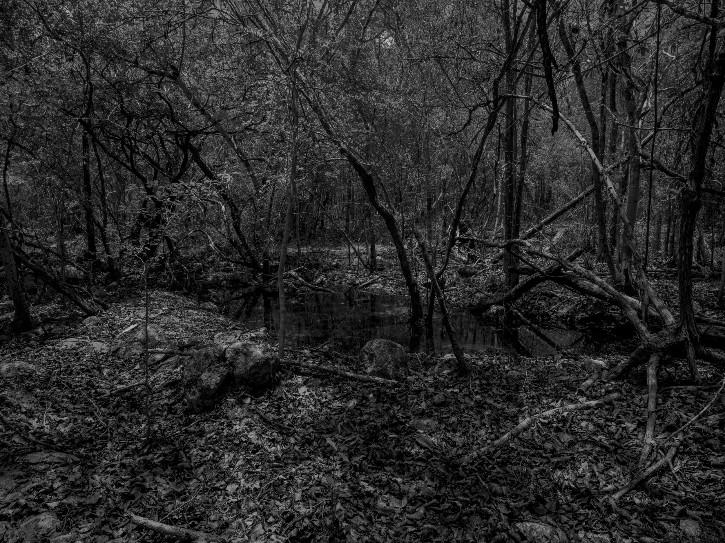
A black and white photograph of a dense forest with numerous leafless trees and branches, with the ground covered in fallen leaves.
Diagram of circumference of Chicxulub Crater with a pink dot labeling the point of photograph and it's coordinates 21.09795, -88.22065.
A black and white photo of a dense forest with tall trees, tangled branches, and thick underbrush.
A black and white photo of a densely overgrown wooded area with numerous branches, twigs, and low plants, some rocks and dirt visible on the ground.
Dense forest with a path, black-and-white.
Diagram of circumference of Chicxulub Crater with a pink dot labeling the point of photograph and it's GPS coordinates 21.09795, -88.62065, and labeled 'POINT 12'.
A dark, dense forest with trees, branches, and foliage covering the scene, illuminated by faint light.
Diagram of circumference of Chicxulub Crater with a pink dot labeling the point of photograph and it's GPS coordinates 20.99160, -88.87435 on a light gray background.
A black and white image of a dense forest or jungle with a cloudy sky overhead.
Diagram of circumference of Chicxulub Crater with a pink dot labeling the point of photograph and it's GPS coordinates 20.89554 and -88.94694.
Dense wilderness scene with tall grass, shrubs, and trees, appears to be a forest or jungle in black and white.
Diagram of circumference of Chicxulub Crater with a pink dot labeling the point of photograph and it's GPS coordinates 20.81268, -89.03619.
Black and white photograph of a wooded landscape with trees, some with sparse branches, under a cloudy sky.
Black and white photo of a barren landscape with leafless trees and dark, cloudy sky.
Diagram of circumference of Chicxulub Crater with a pink dot labeling the point of photograph and it's GPS coordinates 20.74549, -89.13938.
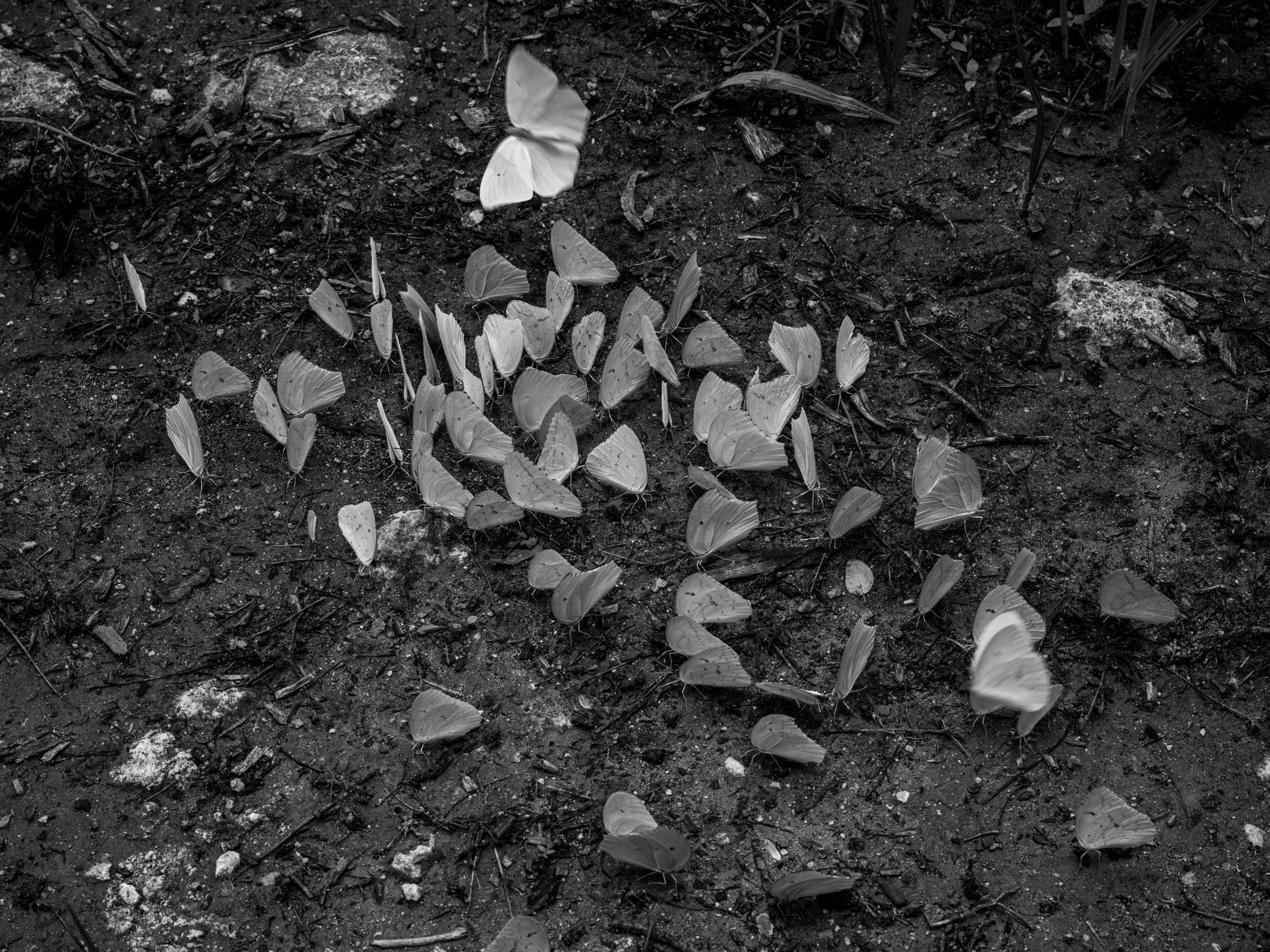
A black-and-white photograph of a forest scene with dense trees and bushes. Butterflies are flying throughout, some on the ground and others fluttering in the air.
Black and white photograph of scattered butterflies wings on dark dirt or soil surface.
Diagram of circumference of Chicxulub Crater with a pink dot labeling the point of photograph and it's GPS coordinates 20.69601, -89.25340.
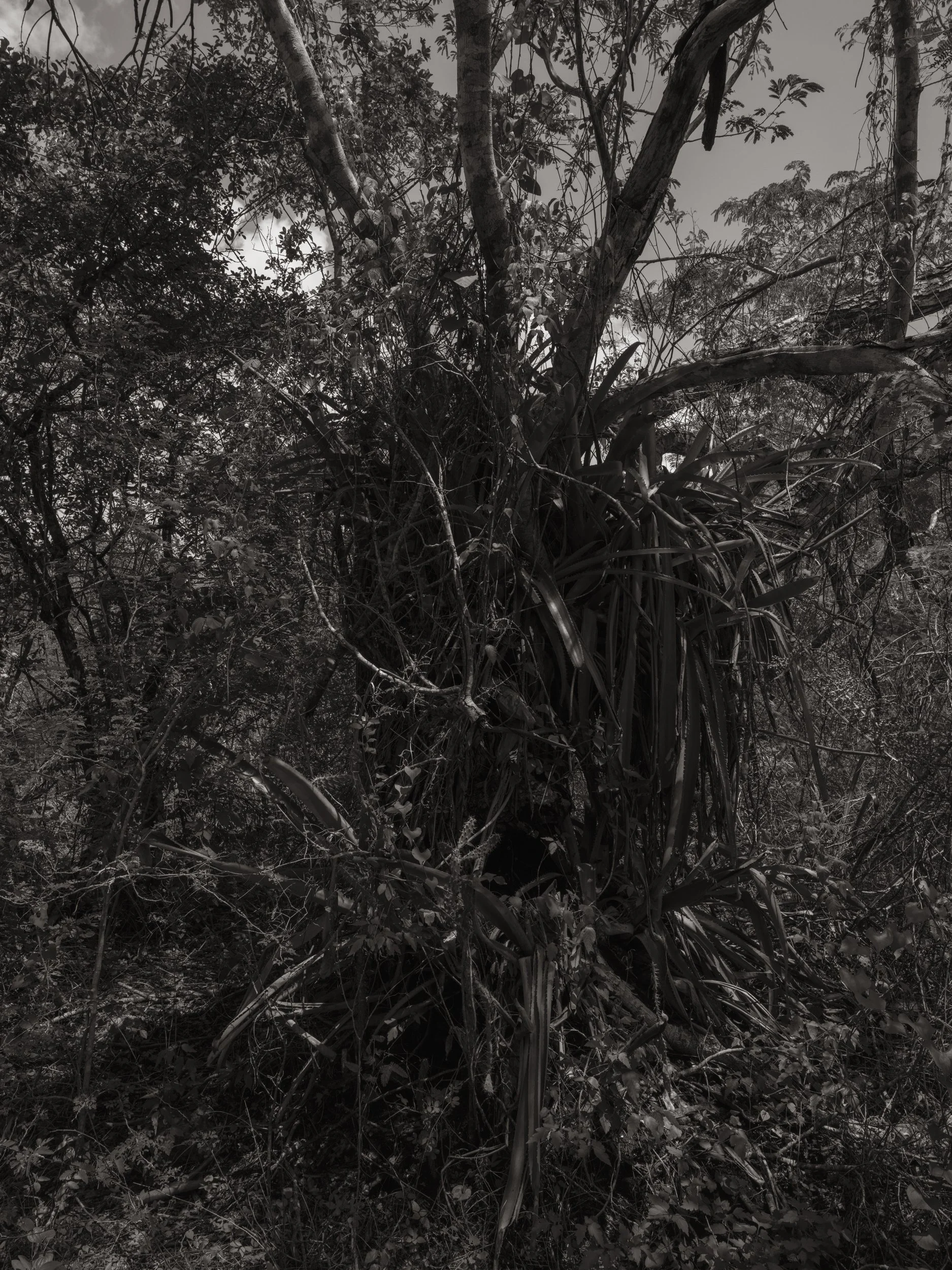
Dense jungle with various trees, bushes, and undergrowth, black and white
A dense forest with a tangle of vines and branches, surrounded by thick foliage and leaves on the ground.
Diagram of circumference of Chicxulub Crater with a pink dot labeling the point of photograph and it's GPS coordinates 20.66571, -89.37482.
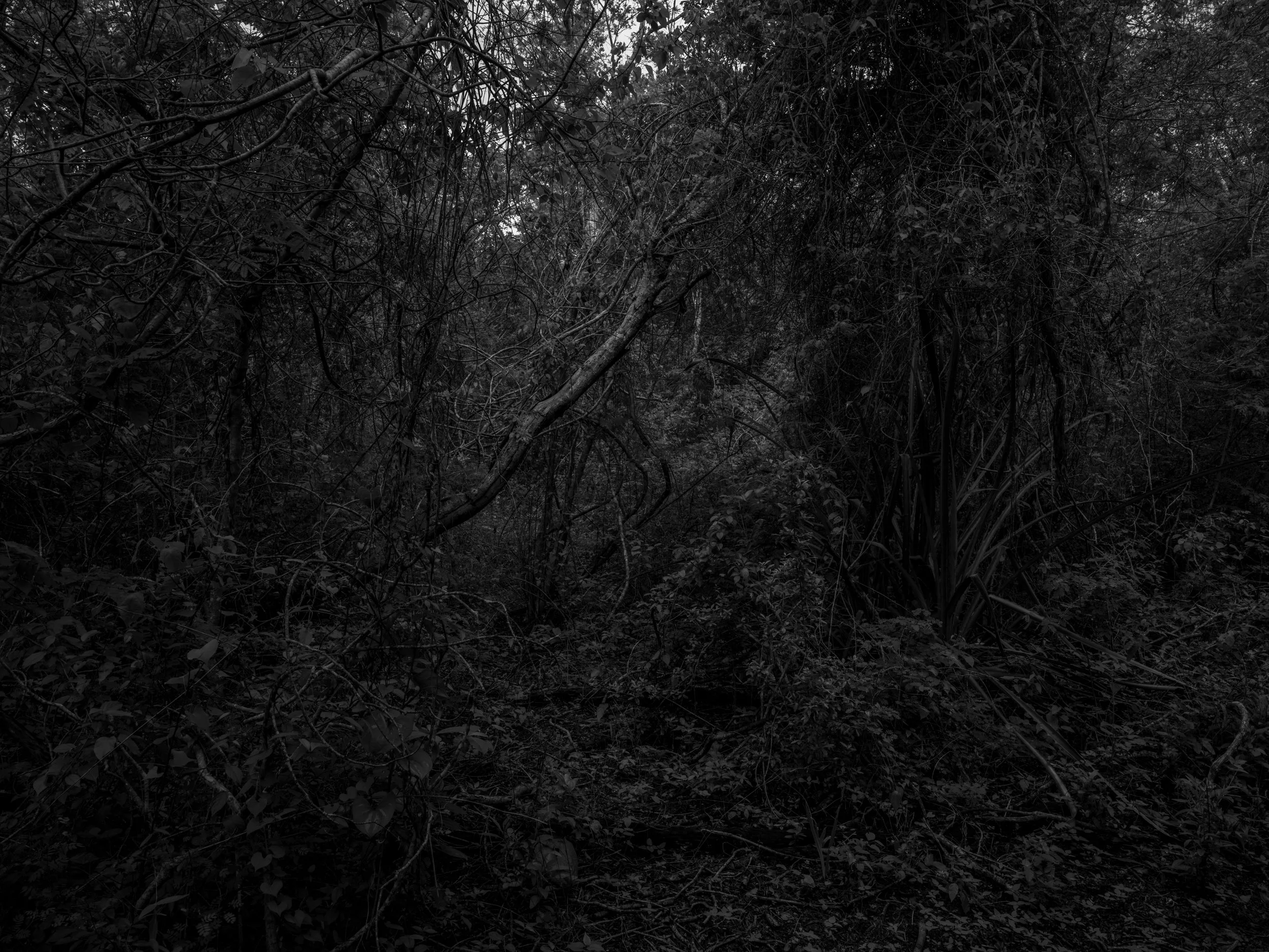
A dense, dark forest with a tangle of trees, branches, and leaves.
A dense forest scene with various trees, shrubs, and plants, captured in grayscale.
Diagram of circumference of Chicxulub Crater with a pink dot labeling the point of photograph and it's GPS coordinates '20.65551, -89.50000'.
Dense forest with various trees, bushes, and plants, captured in grayscale.
Diagram of circumference of Chicxulub Crater with a pink dot labeling the point of photograph and it's GPS coordinates 20.65551, -89.50000.
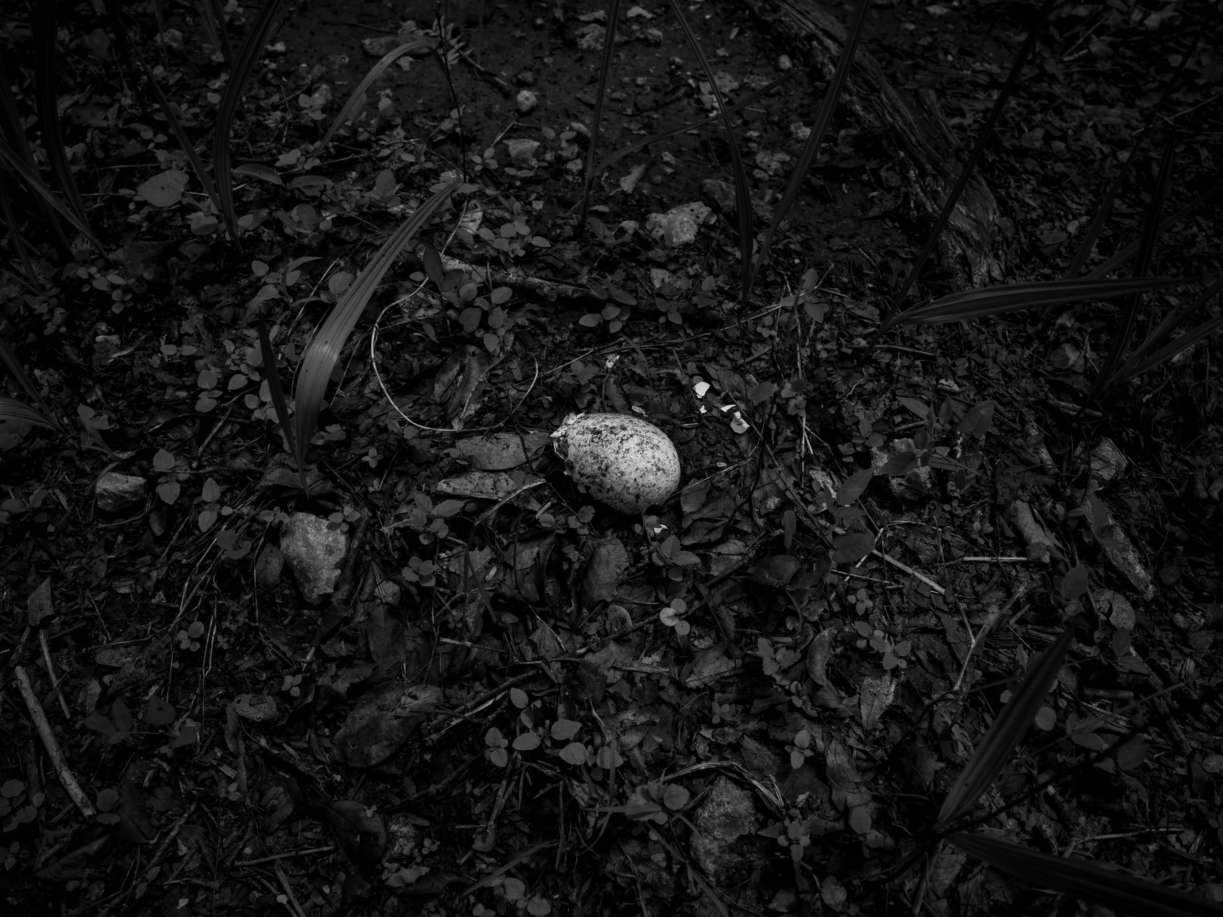
Close-up of forest floor with soil, small rocks, fallen leaves, plants, and the egg of a snake.
Diagram of circumference of Chicxulub Crater with a pink dot labeling the point of photograph and it's GPS coordinates 20.66571, -89.62518.
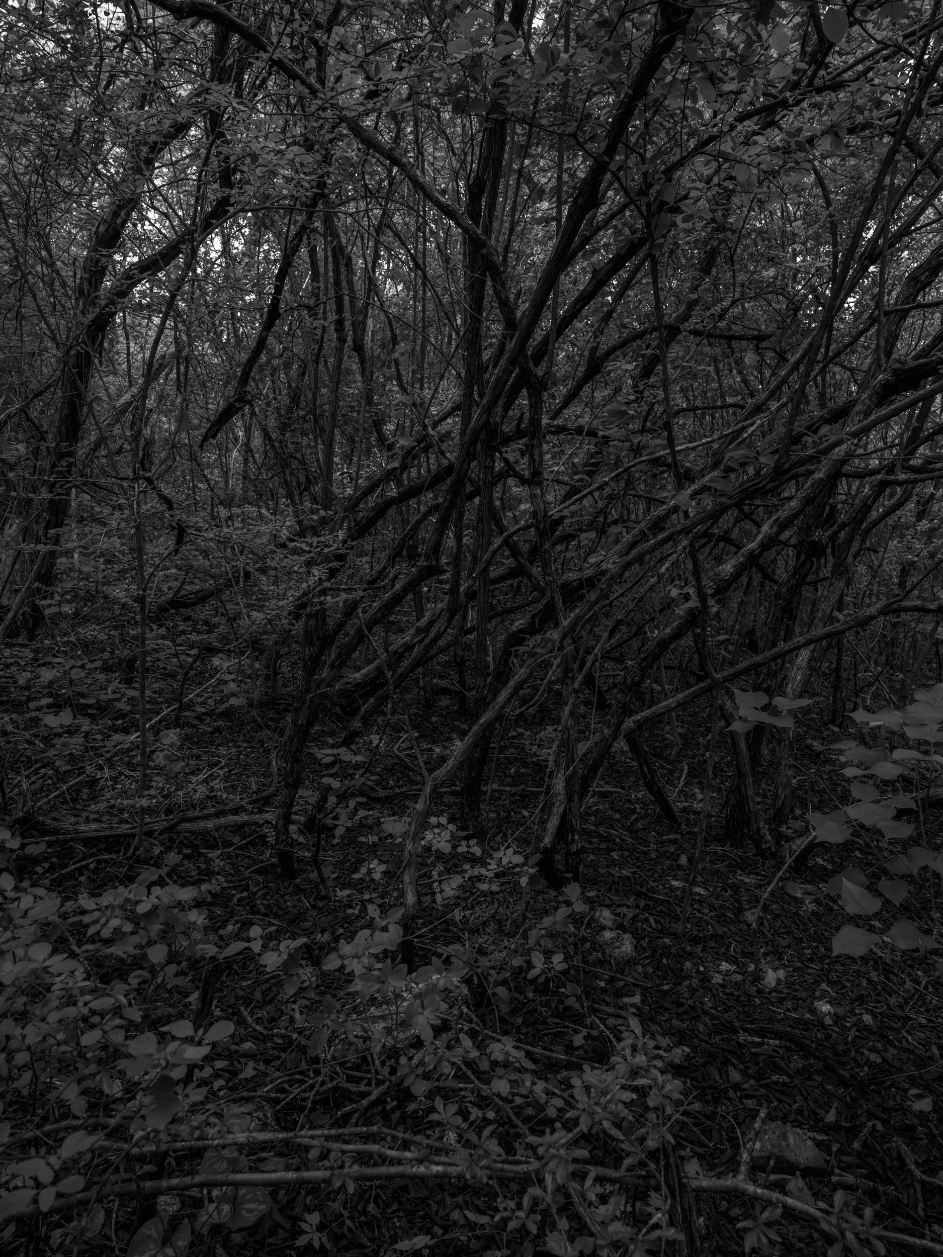
A dense, tangled group of leafless branches and twigs in a dark forest or wooded area.
A black-and-white photograph of a landscape with a variety of trees, some leafless, under a cloudy sky.
Diagram of circumference of Chicxulub Crater with a pink dot labeling the point of photograph and it's GPS coordinates 20.66571, -89.62518.
A black and white photograph of a rough, textured rocky surface with small plants and grass growing between the rocks.
Black and white photograph of a barren landscape with scattered rocks and sparse, leafless trees under a cloudy sky.
Diagram of circumference of Chicxulub Crater with a pink dot labeling the point of photograph and it's GPS coordinates 20.69601, -89.74660.
A black and white image of a dense, tangled forest with many bare, leafless trees and branches.
Diagram of circumference of Chicxulub Crater with a pink dot labeling the point of photograph and it's GPS coordinates 20.74549, -89.86062.
A black and white photograph of a dense thicket of leafless trees and bushes with a cloudy sky overhead.
Diagram of circumference of Chicxulub Crater with a pink dot labeling the point of photograph and it's GPS coordinates 20.81268, -89.96381.
A black and white image of a dense wooded area with overgrown trees and bushes, a dirt path running through it, and a cloudy sky above.
Diagram of circumference of Chicxulub Crater with a pink dot labeling the point of photograph and it's GPS coordinates 20.81268, -89.96381.
A dark, tangled forest scene with leafless trees and dense underbrush
Diagram of circumference of Chicxulub Crater with a pink dot labeling the point of photograph and it's GPS coordinates 20.89554, -90.05306.
A forest floor with a fallen tree and surrounding leaves.
A black and white photo of a dense forest with trees and fallen leaves on the ground.
Diagram of circumference of Chicxulub Crater with a pink dot labeling the point of photograph and it's GPS coordinates 20.99160, -90.12565.
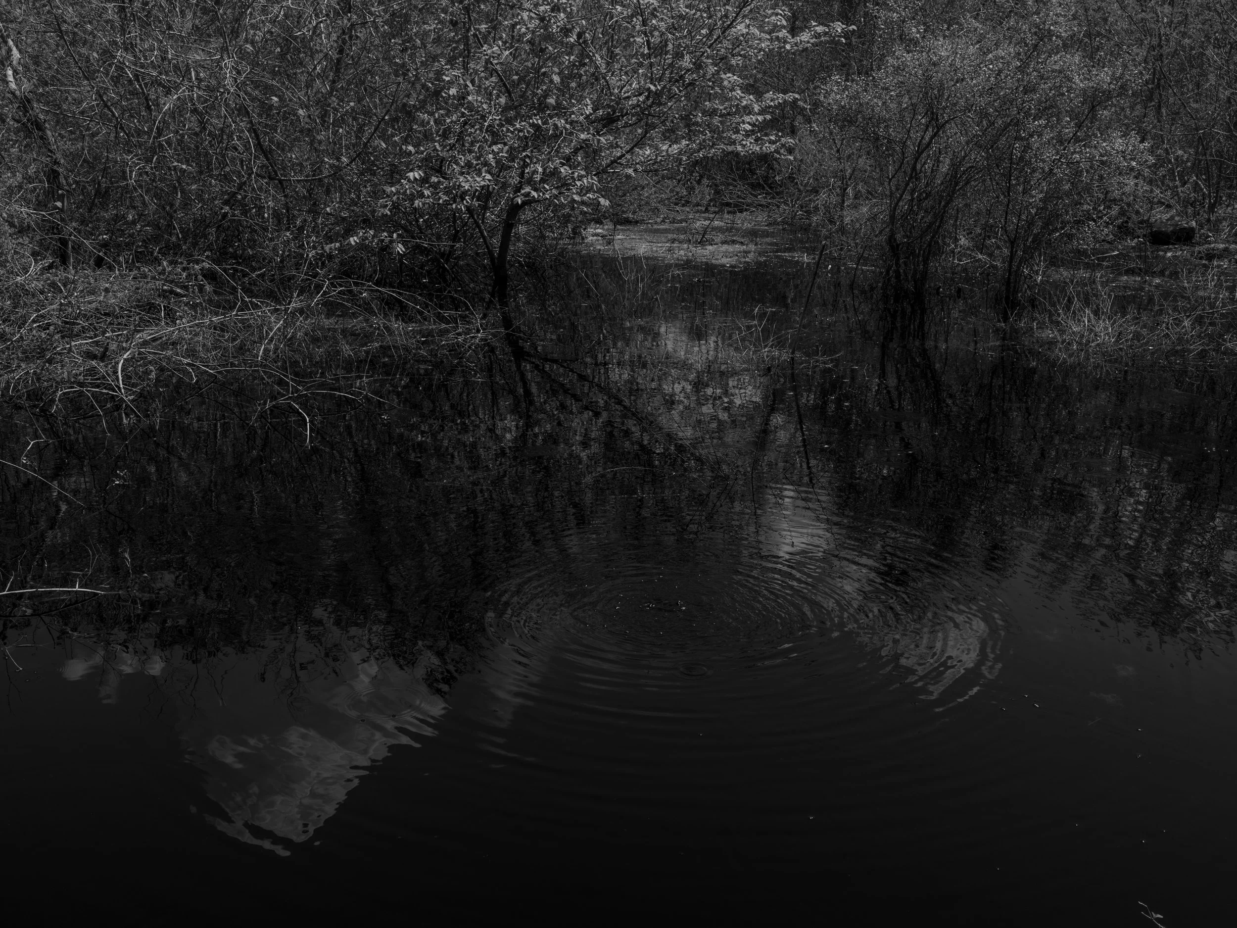
A black and white photo of a calm pond with bubbles rising in the center—surrounded by trees and bushes.
Diagram of circumference of Chicxulub Crater with a pink dot labeling the point of photograph and it's GPS coordinates 20.99160, -90.12565.
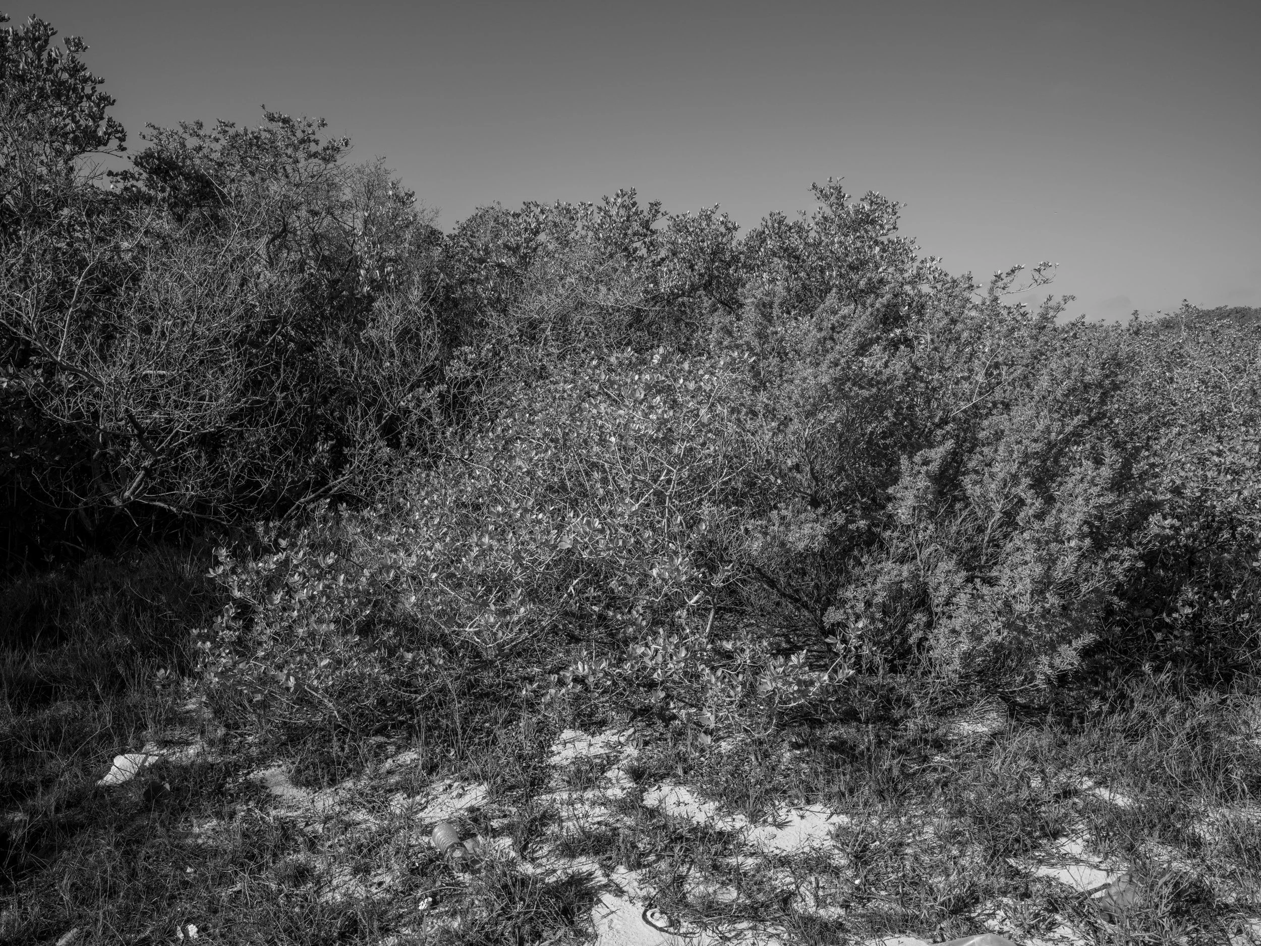
Black and white photograph of dense bushes and small trees on a grassy area with scattered trash and debris at the ground.
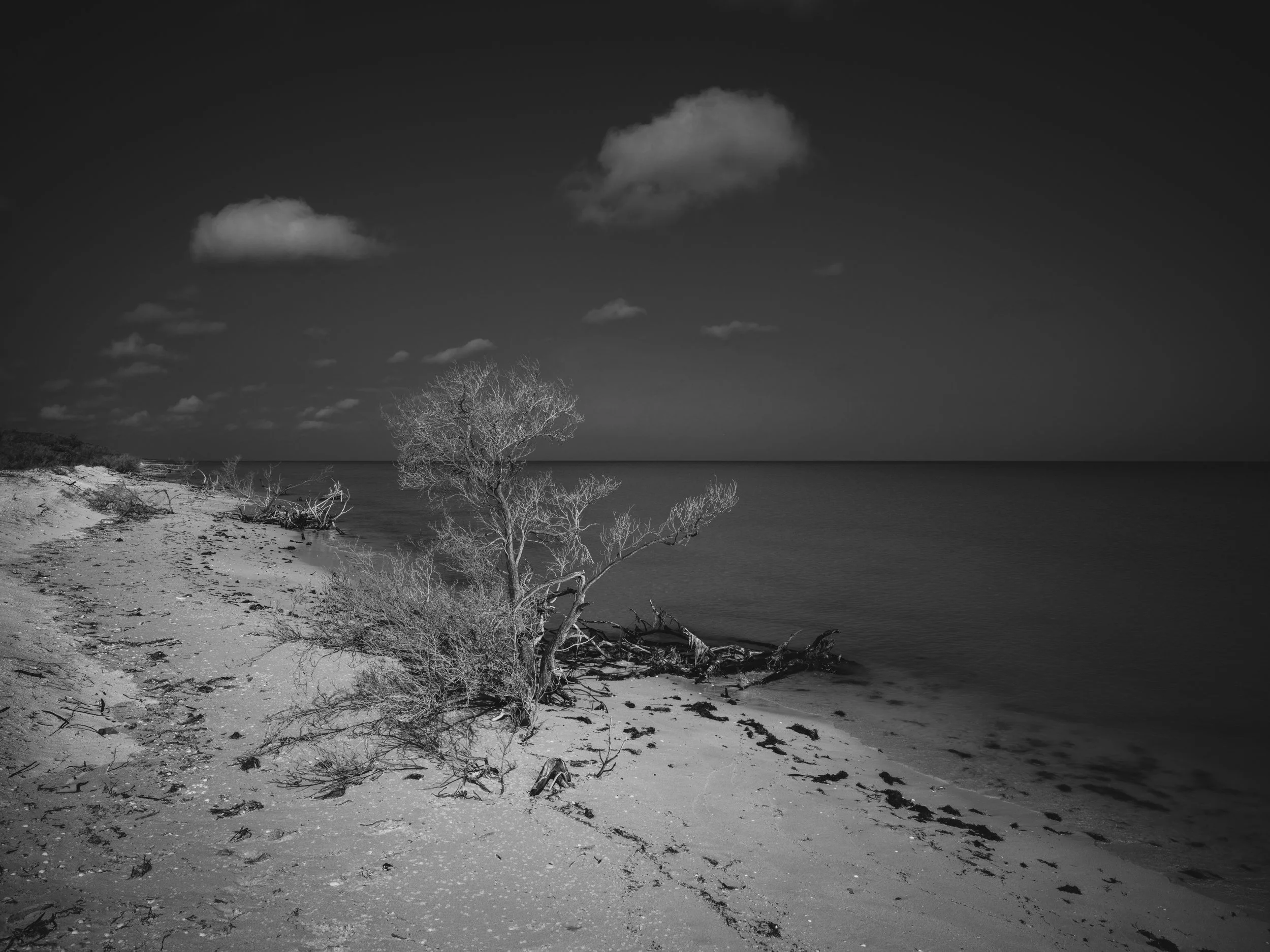
Black and white photograph of a beach with sand and a leafless tree, calm water in the background, and a few clouds in the sky.
Black and white photograph of a sandy beach with grass and bushes in the foreground and dense trees in the background under a partly cloudy sky.
Diagram of circumference of Chicxulub Crater with a pink dot labeling the point of photograph and it's GPS coordinates 21.09795, -90.17935.
A black and white photo of the ocean with waves and a cloudy sky.
A black and white photograph of the ocean with a distant horizon and a dark sky.
Diagram of circumference of Chicxulub Crater with a pink dot labeling the point of photograph and it's GPS coordinates 21.21138, -90.21252.
The image shows a black and white photograph of the ocean with clouds above.
Black and white photograph of a seascape with water in the foreground, and a vast sky filled with clouds in the background.
Black and white photograph of the ocean with a line of clouds in the sky.
A black and white photo of a calm ocean under a cloudy sky with scattered clouds.
Black and white image of a seascape with a horizon line, a sky filled with clouds, and a large body of water in the foreground.
Black and white photograph of the ocean with clouds above.
Black and white photo of cloud-filled sky over a dark ocean horizon.
Black and white photo of the ocean with a clear horizon line, under a sky filled with scattered clouds.
Black and white photograph of a cloudy sky over a body of water.
Black and white landscape photo of the ocean with a cloudy sky.
Black and white photo of an ocean with a horizon line, cloudy sky above.
A black and white photo of the ocean with cloudy skies overhead.
Diagram of 36 points on the circumference of the Chicxulub Crater. Point 28 is highlighted in pink with GPS coordinates 21.32845, -90.22409.
Dark, choppy ocean water with no visible land or objects.
Diagram of 36 points on the circumference of the Chicxulub Crater. Point 29 is highlighted in pink with GPS coordinates 21.44562, -90.21366.
Black and white photo of an ocean with calm waves, under a cloudy sky.
Diagram of 36 points on the circumference of the Chicxulub Crater. Point 30 is highlighted in pink with GPS coordinates 21.66607, -90.12853.
Black and white photo of a vast ocean with a cloudy sky above.
Black and white photo of the ocean's surface with waves, under a cloudy sky.
Black-and-white photo of the ocean with waves and a cloudy sky.
Black and white photo of the ocean with cloudy sky.
A black and white photo of the ocean with choppy waves under a cloudy sky.
Black and white photograph of an ocean with large waves under a partially cloudy sky.
Black and white photo of an ocean with small waves and a cloudy sky.
Black and white photograph of the ocean with a horizon line and a cloudy sky.
Black and white photograph of an ocean with a cloudy sky.
Black and white photo of the ocean with calm water and an overcast sky.
Black and white photograph of the ocean with a cloudy sky.
Black and white photo of the ocean with waves and a cloudy sky.
Black and white photo of the ocean with some clouds in the sky.
Black and white photo of a calm ocean with a cloudy sky overhead.
A black and white image of the ocean with waves and a cloudy sky.
A black and white photo of the ocean with dark waves on the surface and a cloudy sky above.
A black and white photograph of the ocean with choppy waves and a cloudy sky.
A black and white photo of the ocean with a horizon line where the water meets the sky, featuring textured waves in the foreground and wispy clouds in the sky.
Black and white photograph of a vast ocean with small waves and a cloudy sky above.
A black and white photo of the ocean with calm waves and a cloudy sky.
Diagram of 36 points on the circumference of the Chicxulub Crater. Point 30 is highlighted in pink with GPS coordinates 21.66607, -90.12853.
Dark ocean waves in black and white.
Vast ocean with small waves under a cloudy sky.
Diagram of 36 points on the circumference of the Chicxulub Crater. Point 31 is highlighted in pink with GPS coordinates 21.66607, -90.12853.
Black and white photo of ocean water with gentle waves and ripples.
Deep black ocean water with small waves and ripples.
Diagram of 36 points on the circumference of the Chicxulub Crater. Point 32 is highlighted in pink with GPS coordinates 21.76264 -90.05634.
Glistening dark ocean waves under a cloudy sky.
Dark, choppy ocean water with small waves.
Dark ocean water with small waves and foam.
Dark ocean water with choppy waves.
Rough, dark ocean water with small waves.
Dark, choppy ocean water with waves on the surface.
Dark, choppy ocean water with small waves.
Dark, choppy ocean water in black and white.
Black ocean water with gentle waves.
Dark, choppy ocean water with small waves and ripples.
Dark ocean surface with small waves and ripples
Dark, choppy ocean waves under a cloudy sky
Dark, choppy ocean water with small waves and ripples.
Black and white photo of choppy ocean waves.
Dark, choppy ocean water with waves and ripples.
Dark, choppy ocean water with small waves.
A black and white photo of a large body of water with choppy waves.
Black and white photo of choppy ocean water.
Dark, choppy ocean water with no visible objects or land.
Dark, ocean water with visible small waves and ripples.
Diagram of 36 points on the circumference of the Chicxulub Crater. Point 33 is highlighted in pink with GPS coordinates 21.66607, -90.12853.
Black and white photo of the ocean with waves.
Dark, choppy ocean water with waves and reflections.
Dark, textured ocean surface with small waves and ripples.
Dark, choppy ocean with waves.
Dark ocean water with small waves and ripples.
Dark ocean surface with waves and a few small reflections of light.
Black and white photograph of a choppy, wavy ocean surface.
Dark ocean water with small waves and ripples.
Black and white photo of ocean waves on the water.
Black and white photo of choppy ocean water with small waves.
Black and white photo of ocean water with ripples and waves.
Diagram of 36 points on the circumference of the Chicxulub Crater. Point 34 is highlighted in pink with GPS coordinates 21.91733 and -89.86350.
Black and white photo of ocean waves seen from a boat with the horizon in the distance, sky above.
A view of a cloudy sky with shades of gray.
Black and white photo of the ocean with waves and a cloudy sky above.
Black and white photo of the ocean with waves and a cloudy sky.
Diagram of 36 points on the circumference of the Chicxulub Crater. Point 35 is highlighted in pink with GPS coordinates 21.96363 and -89.74874.
Black and white photograph of ocean waves with a bright sun reflecting on the water's surface.
Diagram of 36 points on the circumference of the Chicxulub Crater. Point 36 is highlighted in pink with GPS coordinates 21.96363, -89.74874.
Black and white photograph of ocean waves and a cloudy sky at sea.
Diagram of 36 points on the circumference of the Chicxulub Crater. Point 36 is highlighted in pink with GPS coordinates 21.96363, -89.74874.
Black and white photo of ocean water with sunlight reflections on the surface.
A cloudy sky with scattered clouds.
Black and white photograph of the ocean with sunlight reflecting off the surface and a distant horizon line.
Blank white background with a faint gray dotted circle and a pink center point, indicating a compass or navigation marker.