
Longing for Amelia
The historical and mythological landscape
PHASE 1 | THE MARSHALL AND MARIANA ISLANDS
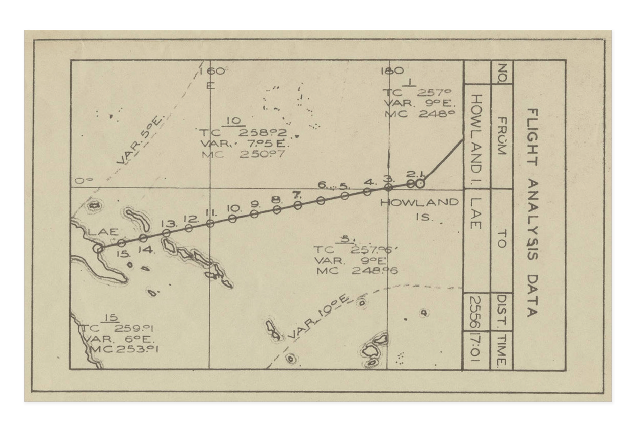
Just before dawn on July 2, 1937, Amelia Earhart and her navigator Fred Noonan took off from Lae, New Guinea in their heavily loaded Electra L-10E aircraft. The destination was Howland Island, a flat narrow bit of land, 6500 feet long and 1600 feet wide—intended to be used to land and refuel, in order to continue on to Hawaii. This was to be the third to the last of 32 legs of her heroic but ill-fated attempt to be the first woman to circumnavigate the globe by airplane. Unfortunately she disappeared. The last confirmed radio transmission came when Earhart and Noonan said they were nearly 200 miles from Howland. There was no further contact.
Eighty-nine years after Earhart’s disappearance, only theories remain, yet her legend survives in the many individuals still searching for evidence of what happened to her on that fateful day in 1937.
What is it that keeps us so captivated with Earhart? Is it an admiration for her bold fearlessness as an aviator in an industry and era dominated by men? Is the mythology surrounding her disappearance so intriguing because she disappeared in such a remote and unknown environment to most Westerners? Is it the undeniable romance of an almost archetypal tragedy—a 20th century Icarus? Or is it because it occurred under such extraordinary circumstances, only a few years prior to the beginning of the Second World War?
With his new photographic project, Matthew Arnold will document the environs that play host to the many theories which attempt to resolve the mystery of Amelia Earhart’s disappearance.
The work presented here is from the first stage of Arnold’s project—a five-week expedition to the outer-reaches of the Mariana and Marshall Islands, photographing the seascapes and landscapes specific to the “Japanese Capture” theory. It is a theory which involves a forced landing in fortified Japanese territory followed by capture, imprisonment, and possible execution at the hands of their Imperial Navy.
This expedition is the culmination of over a year’s worth of research, fundraising, and planning. While this may only be the beginning stage, the idea is to present each stage as its own entity so as to give weight to each theory of Earhart’s demise.
The complete breadth of this project will involve travel to multiple parts of the Central and South Pacific, photographing related seascapes and landscapes of these remote regions. The Phoenix Islands, as an example, hold multiple theories to Earhart’s disappearance, including both the “Nikumaroro Theory,” and the “Orona Theory” where she is believed to have succumbed to the elements after landing on these deserted islands. In Papua New Guinea he will photograph both the “New Britain Island” and “Buka Island” theories, that suggest she crashed while attempting to return to New Guinea.
In photographing these remote regions, along with the incorporation of many historical ephemera, Arnold will give visual detail to each of the theories surrounding Earhart’s disappearance. The images will illustrate his notion of both the historical and mythological landscape surrounding the hypotheses of an historic heroine’s unknown fate in a distant land.
IMAGE
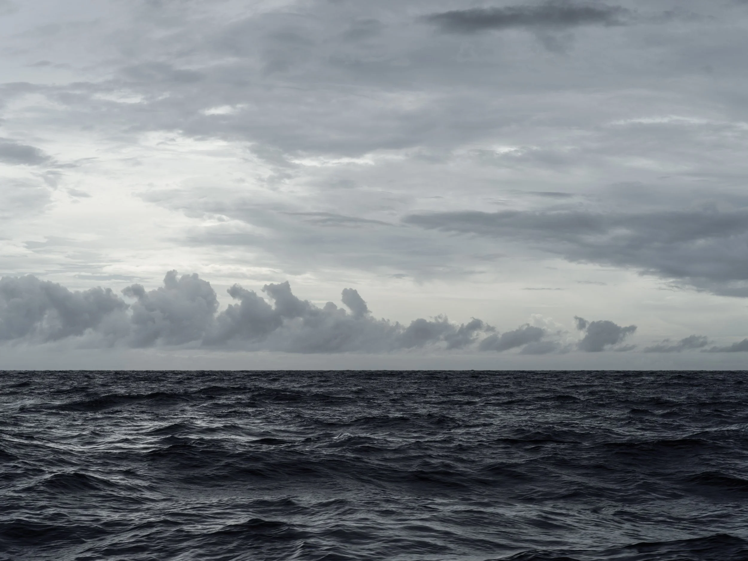
The Pacific, on the way to Jaluit Atoll, Marshall Islands
DRAWING
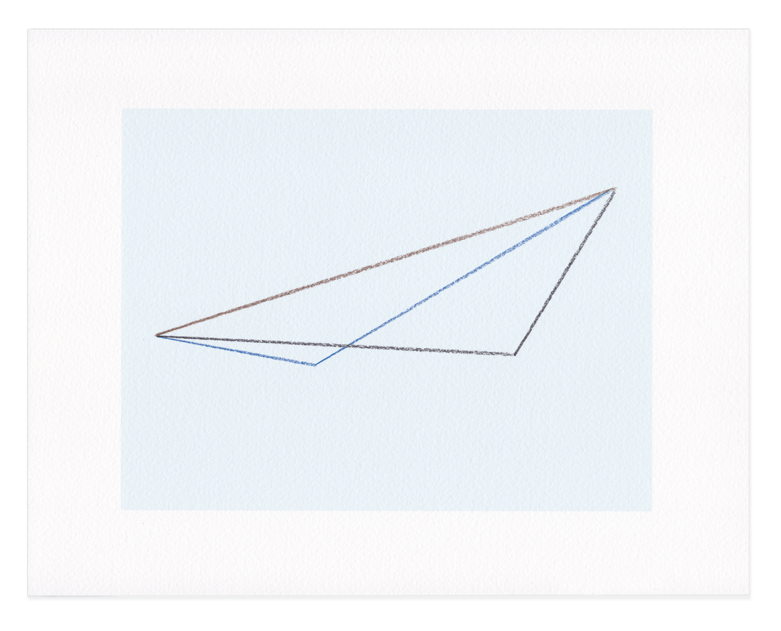
Earhart fuel consumption
flight paths
ARCHIVAL DOCUMENT
Chart of Earhart’s path to Howland Island
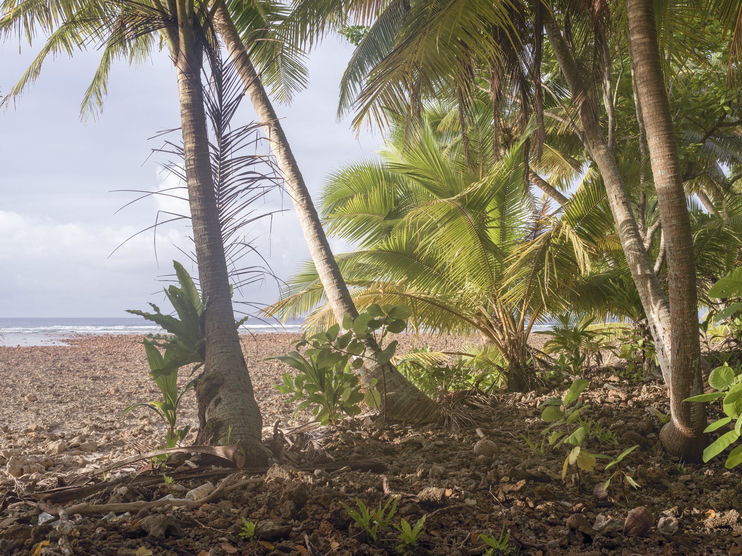
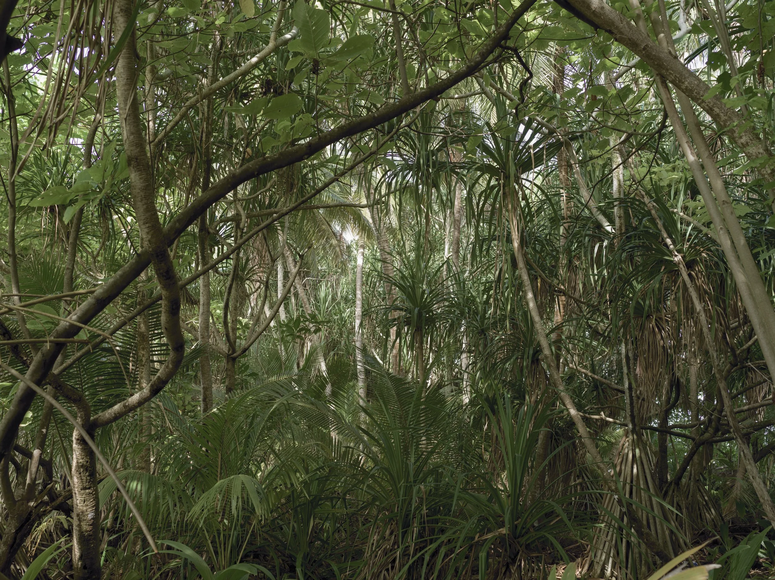
Amelia Earhart and her navigator Fred Noonan were believed to have been forced to land their plane on Enedrik-Kan Island. Young boys hiding in the leaves on the edge of the jungle tell of seeing Earhart and Noonan climbing from their aircraft after their landing on the dry reef. Too afraid to reveal themselves they watch as Japanese Imperial Navy crewman land on the island and take Earhart and Noonan prisoner.
IMAGE
The edge of the jungle, Enedrik-Kan Island,
Milli Atoll, Marshall Islands
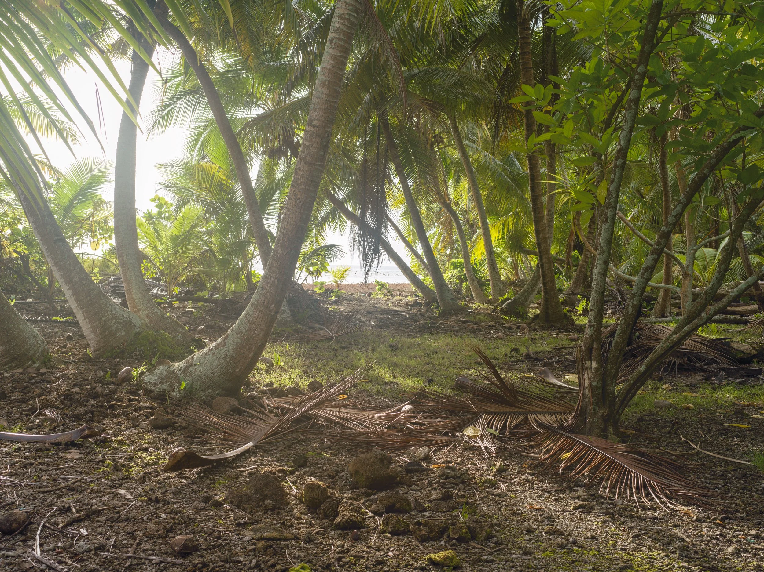
A flat, circular shaped
piece of aluminum was found on this spot by Dick Spink, a high school teacher and entrepreneur from Bow, Washington. His interest in the Earhart disappearance began after a business trip
to the Marshall Islands where he heard the many accounts by local Marshallese of Earhart’s landing and final demise at the hands of the Japanese Imperial Navy.
IMAGE
Site of discovered
wheel-cover, believed
to be from Earhart’s plane, Enedrik-Kan Island, Milli Atoll, Marshall Islands
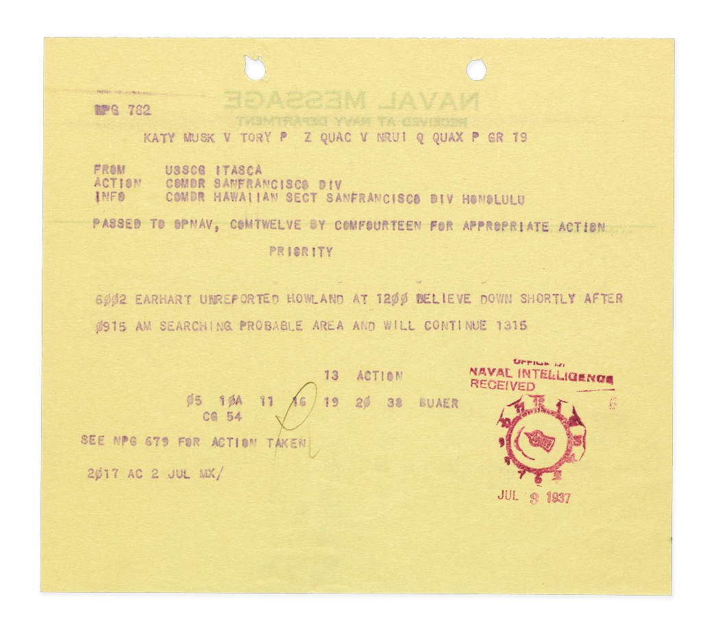
ARCHIVAL DOCUMENT
Naval message “Earhart unreported Howland ...”
IMAGE
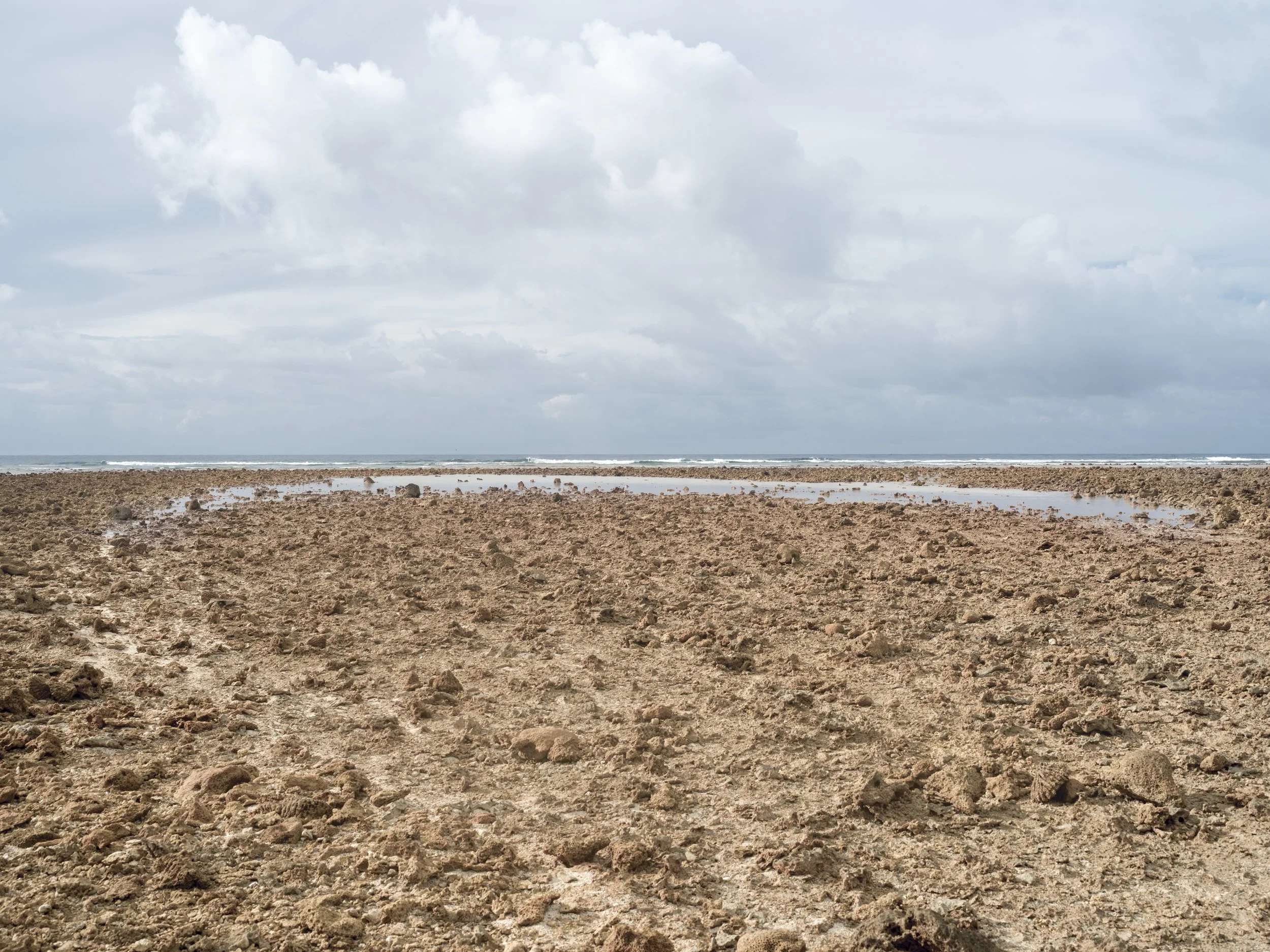
Arc formed by water on reef, Enedrik-Kan Island, Milli Atoll, Marshall Islands
If Earhart had been
forced to land by either
a dwindling fuel supply or Japanese Imperial Navy warplanes, she would potentially have found
quite a rocky surface
of reef at low tide.
IMAGE
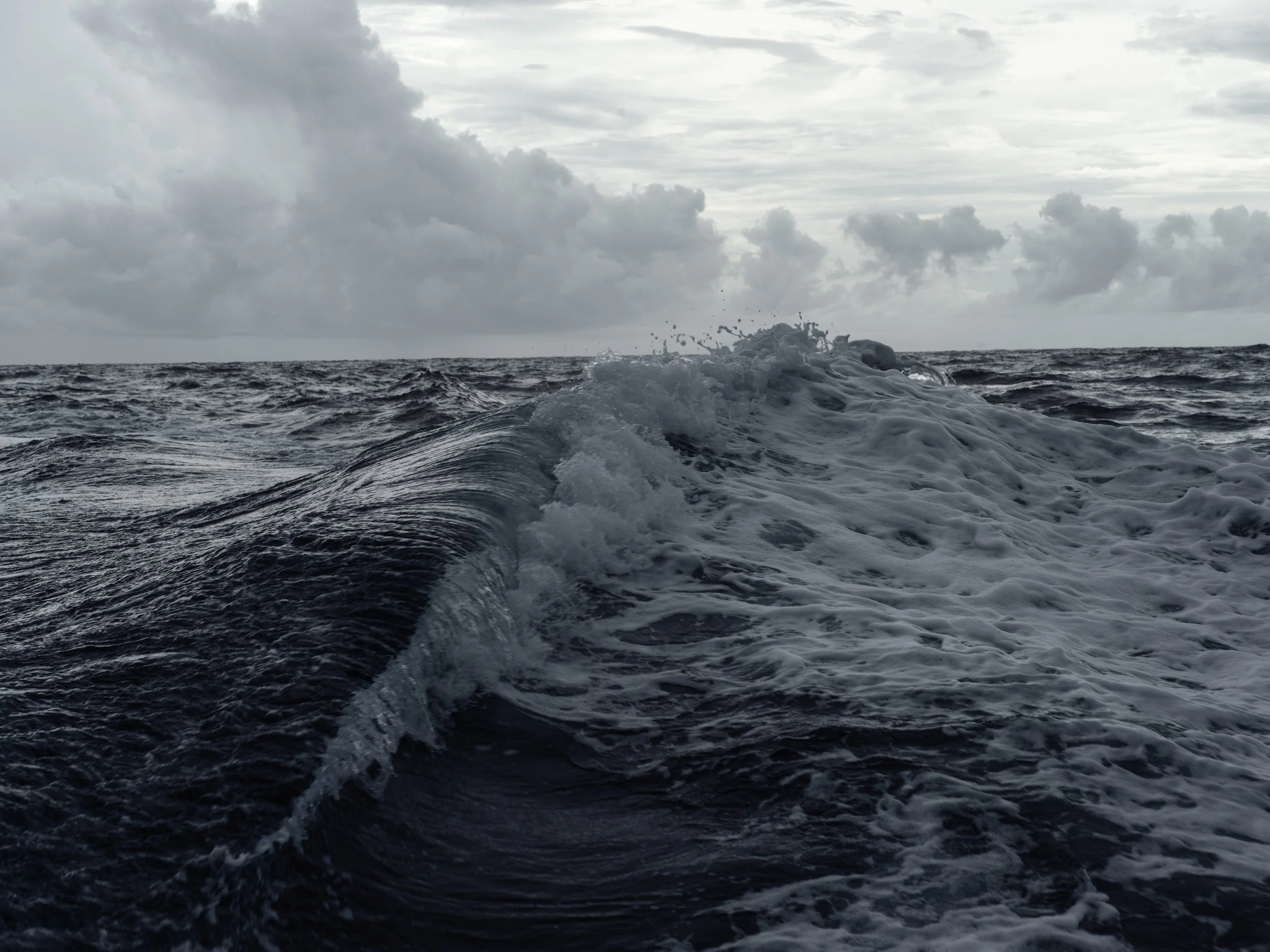
Wave, on the way to Mili
Atoll, Marshall Islands
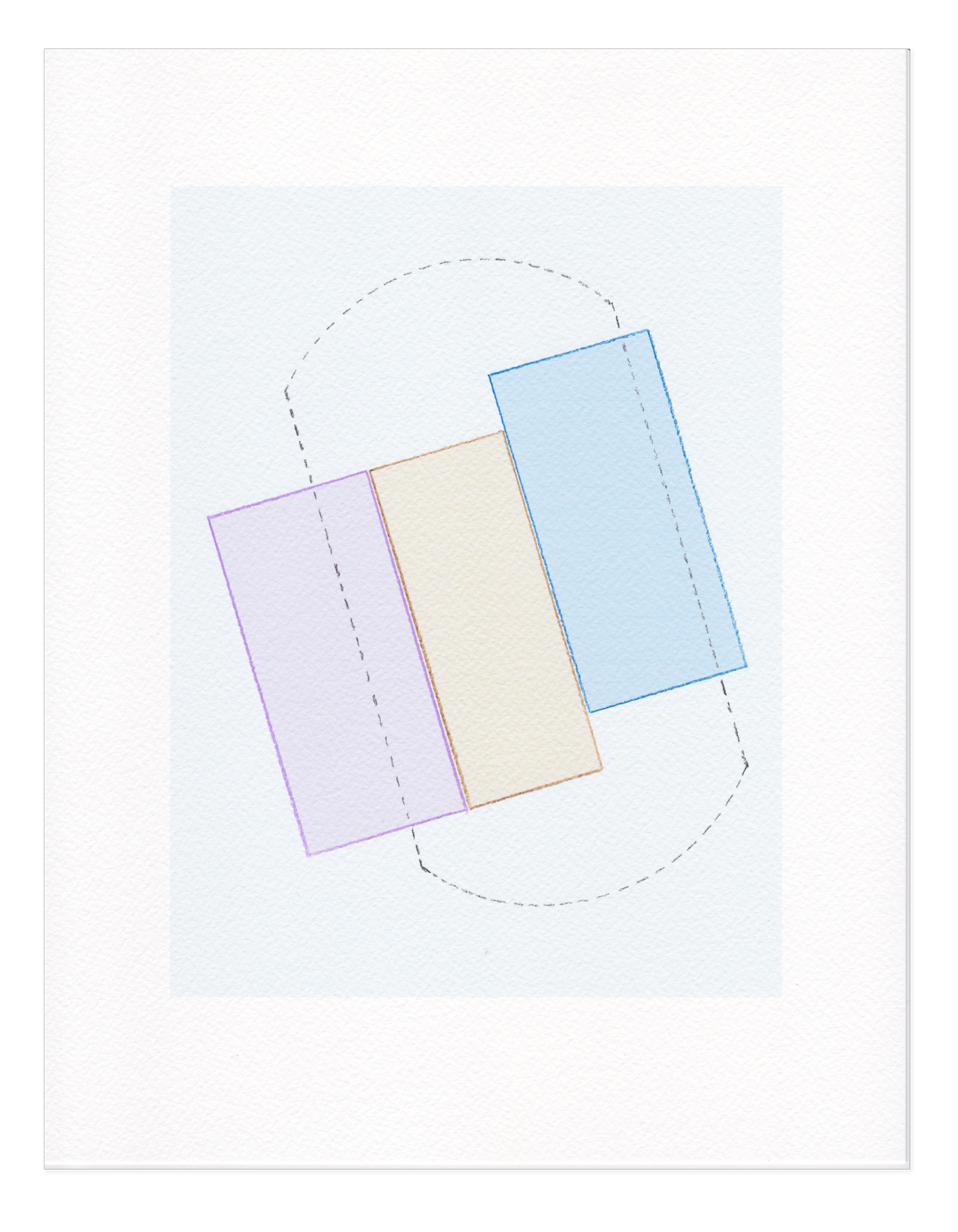
DRAWING
Earhart search grid
over ocean
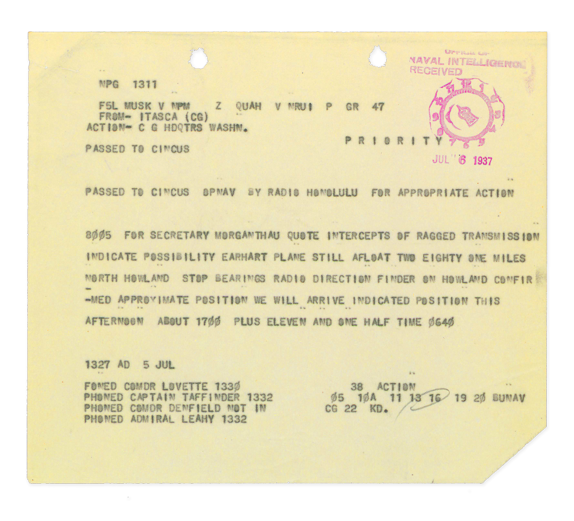
ARCHIVAL DOCUMENT
Naval message “Intercepts of ragged transmission indicate possibility Earhart plane still afloat ...”
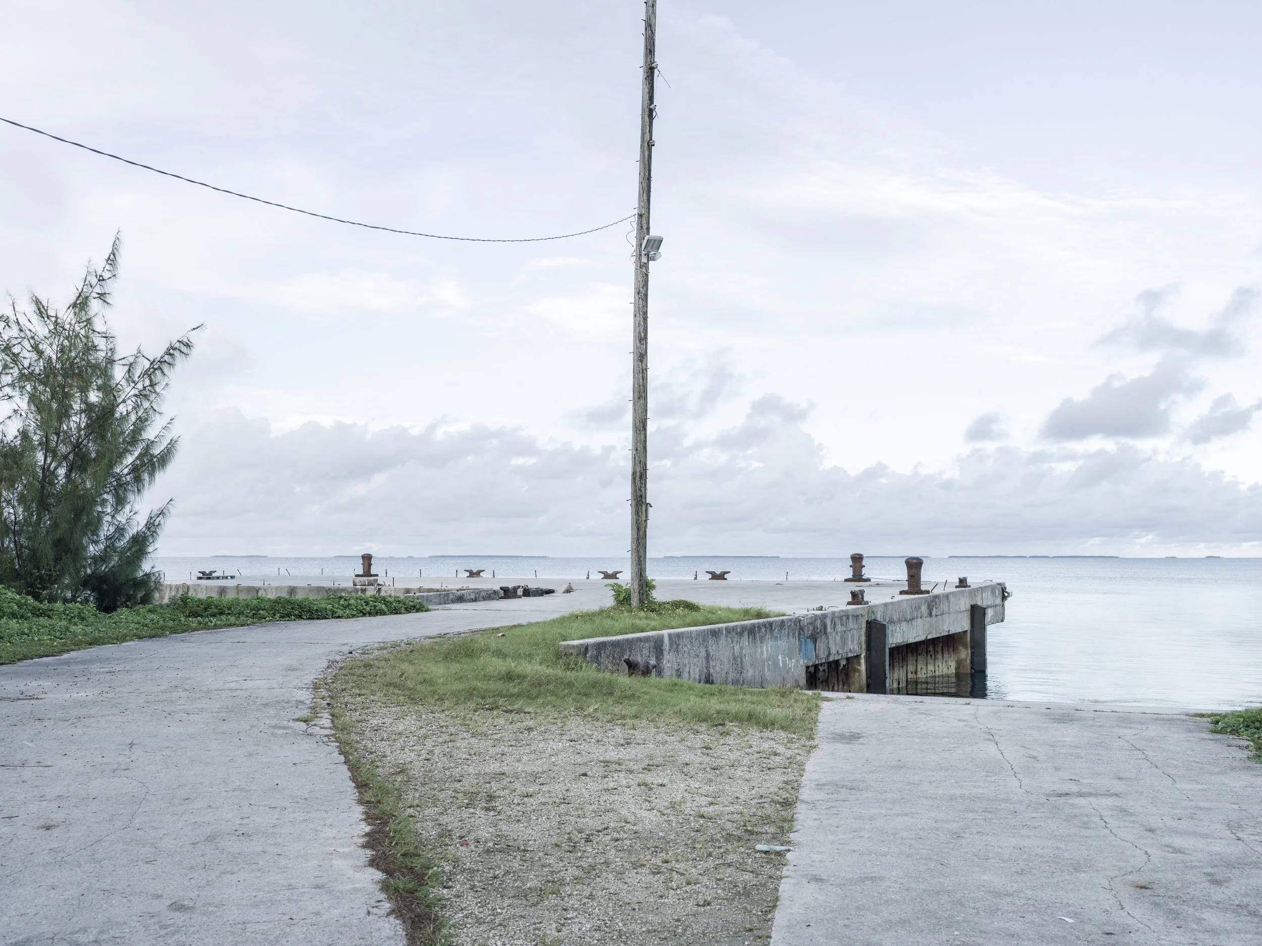
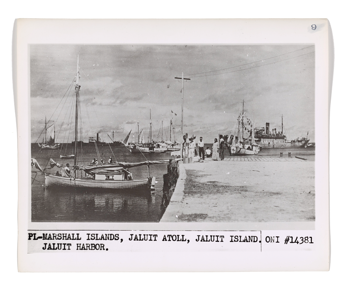
A photograph, recently released to the world, is believed to have been taken on a dock on the site of this dock today. The photograph is said to portray Amelia Earhart and Fred Noonan after having been transported to Jaluit Island from Enedrik-Kan Island. Their aircraft can be seen in the background of the photograph being towed into port behind the Japanese cargo ship, Koshu Maru.
IMAGE
Site of dock where Earhart was presumed photographed after being captured by the Japanese Imperial Navy, Jabor Island, Jaluit Atoll, Marshall Islands
ARCHIVAL DOCUMENT
Photograph purported
to be Amelia Earhart
and Fred Noonan
standing on dock, Jaluit Atoll, Marshall Islands
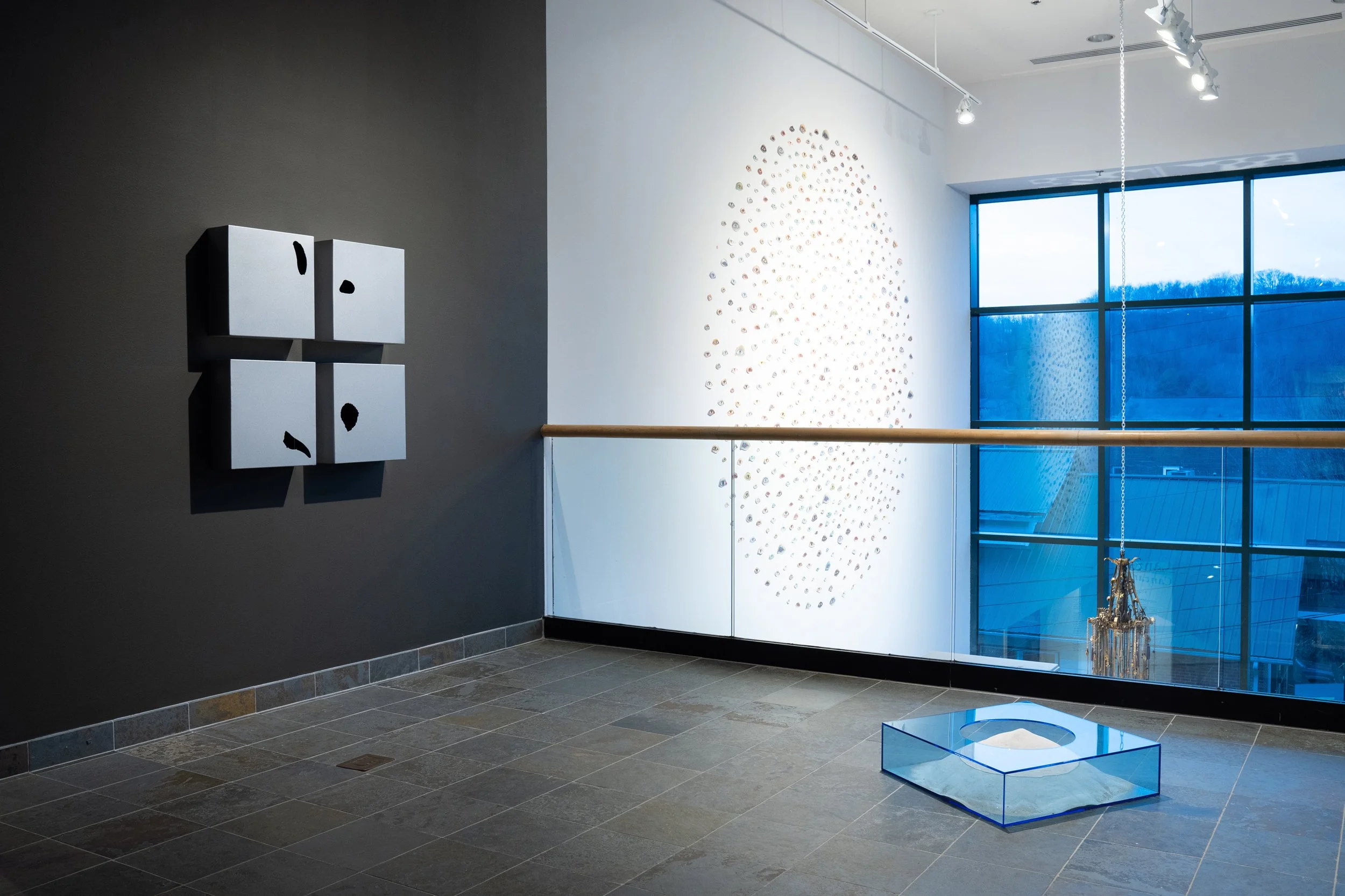
Amelia Earhart disappeared on the third leg from the last of her 32-leg journey around the world—attempting to fly to Howland Island—a tiny deserted patch of scrub land in the middle of the Pacific Ocean. She was to refuel on Howland with the assistance of the crew from the waiting United States Coast Guard cutter, Itasca. Howland Island, like many of the volcanic islands of the Pacific, just barely reveals itself above the waves while a mountain
of land rests below the
deep sea.
CONSTRUCTION
Sea, No. 1
(0° 48′ 24″ N, 176° 36′ 59″ W)
Sea, No. 2
(0°11′41″N 176°28′46″W)
Sea, No. 3
(4.68°S 174.517°W)
Sea, No. 4
(3°36′S 174°07′W)
Galvanized steel
CONSTRUCTION
Island
Cell cast acrylic, sand

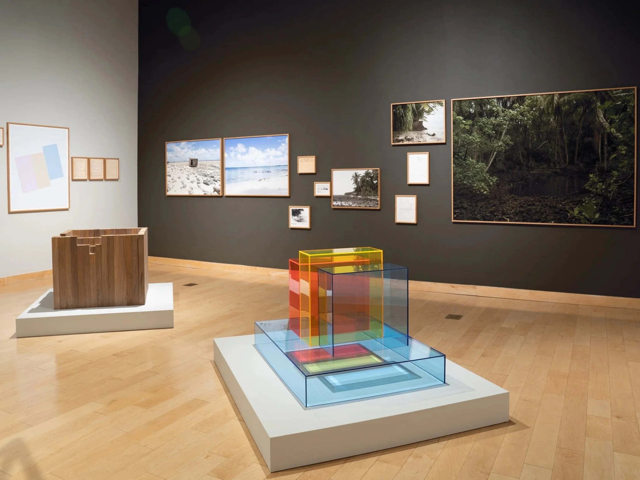
Amelia Earhart disappeared over the vast and deep Pacific Ocean. To attempt to find her and her plane then, as well as only the plane wreckage now, a search grid would be developed for both the most efficient and effective means of success. The science and methodology to a grid of this sort is in fact a beautiful visual structure to be explored.
CONSTRUCTION
Search Grid, No. 2
Cell cast acrylic
EXHIBITION IMAGE
The Turchin Center for the Visual Arts at Appalachian
State University
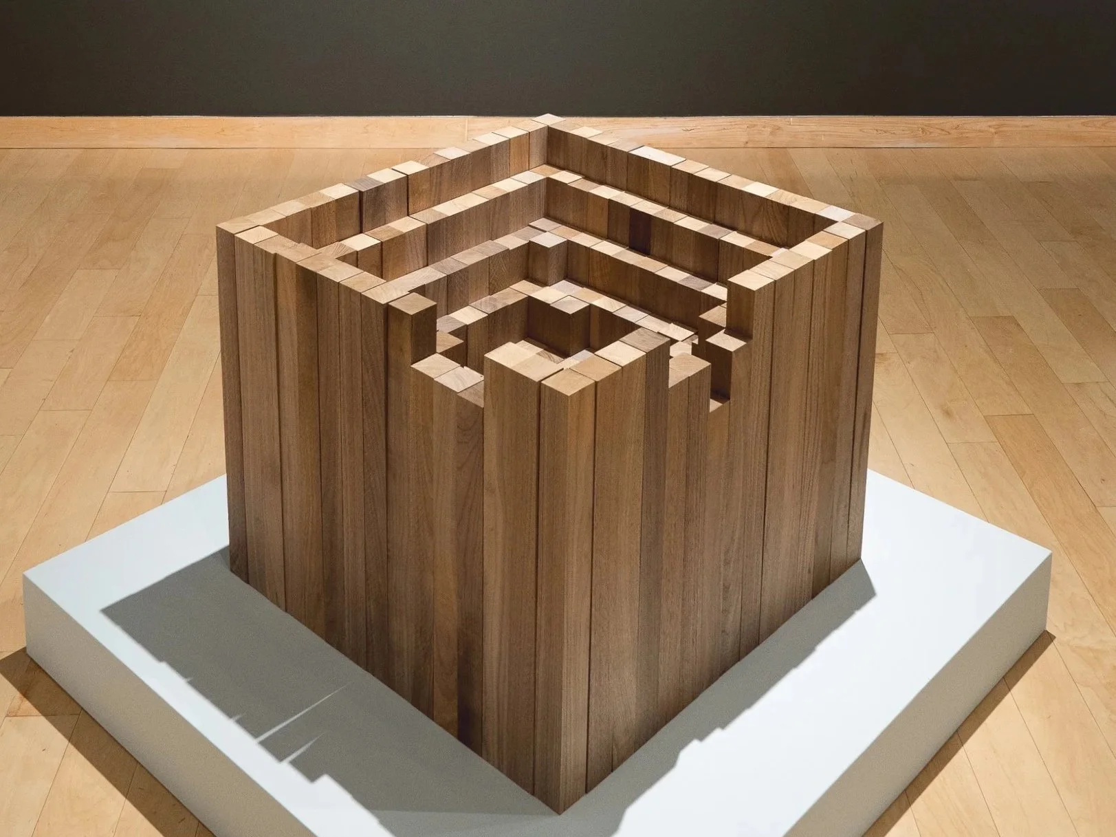
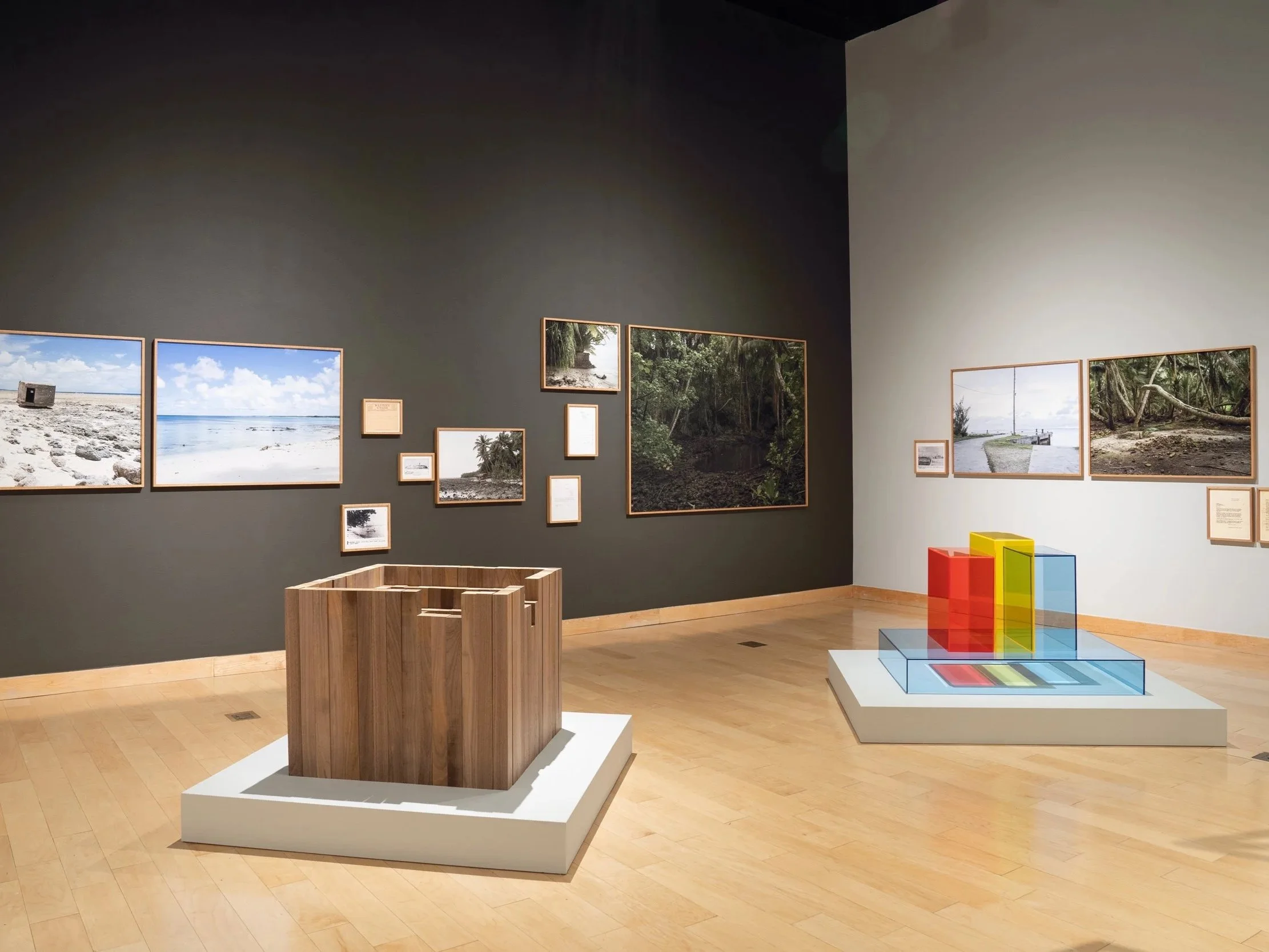
CONSTRUCTION
Inverted Bathymetric Grid
Black walnut wood
EXHIBITION IMAGE
The Turchin Center for the Visual Arts at Appalachian
State University


CONSTRUCTION
Earhart fuel consumption
flight paths
Steel
EXHIBITION IMAGE
The Turchin Center for the Visual Arts at Appalachian
State University
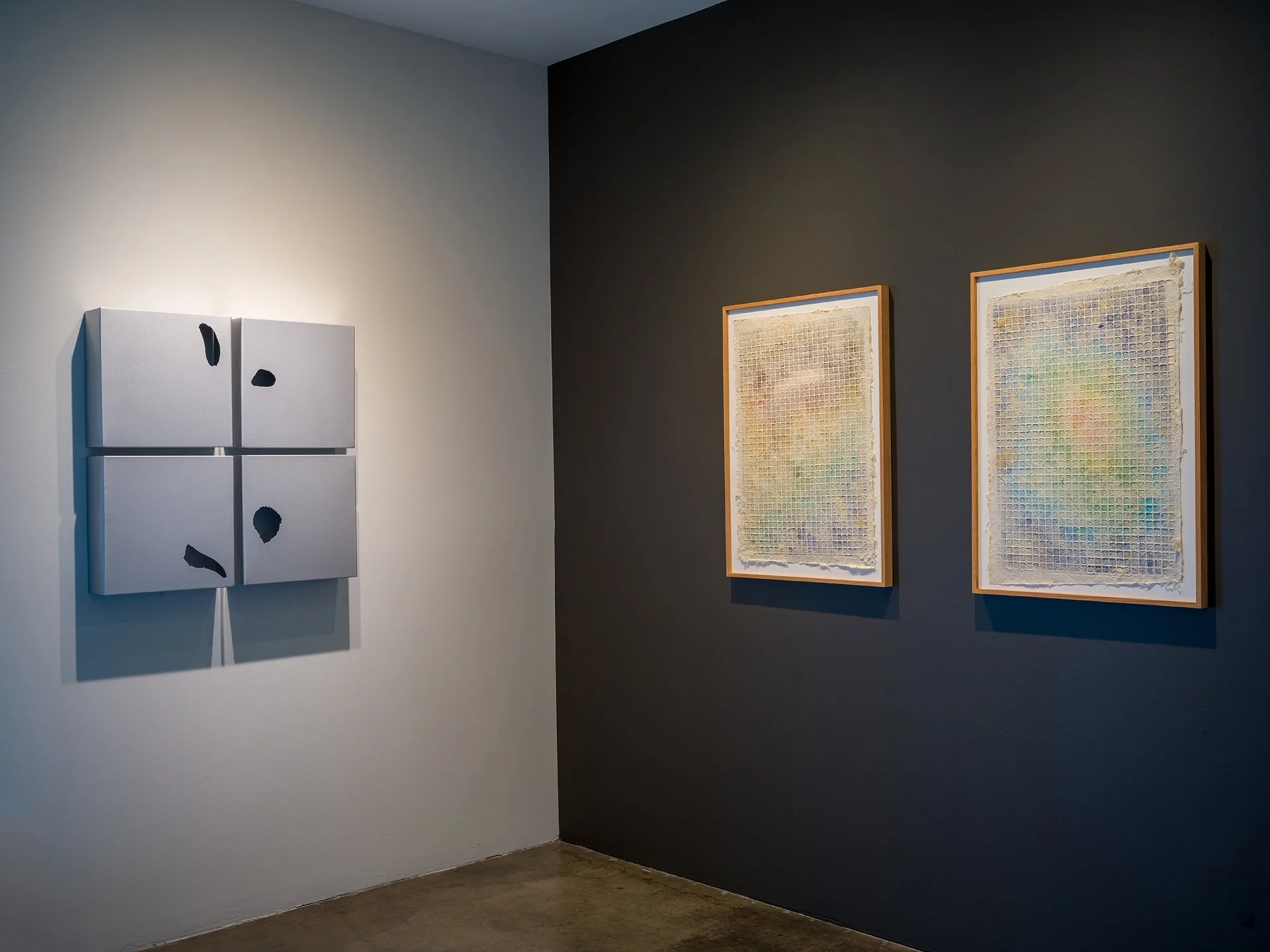
CONSTRUCTION
Sea, No. 1
(0° 48′ 24″ N, 176° 36′ 59″ W)
Sea, No. 2
(0°11′41″N 176°28′46″W)
Sea, No. 3
(4.68°S 174.517°W)
Sea, No. 4
(3°36′S 174°07′W)
Galvanized steel
PRINT
Bathymetric Grid No.1
EXHIBITION IMAGE
Galerie XII, Los Angeles
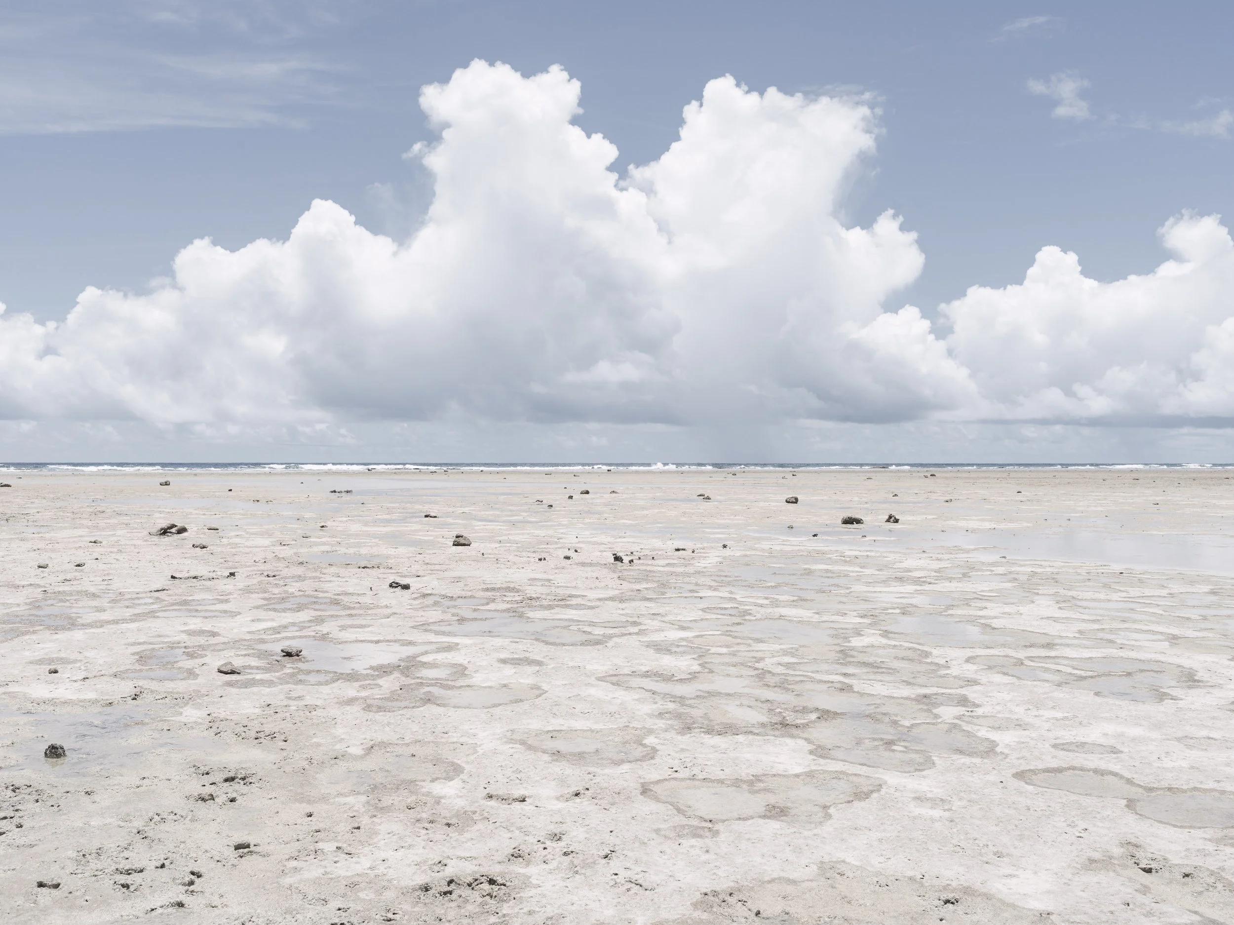
IMAGE
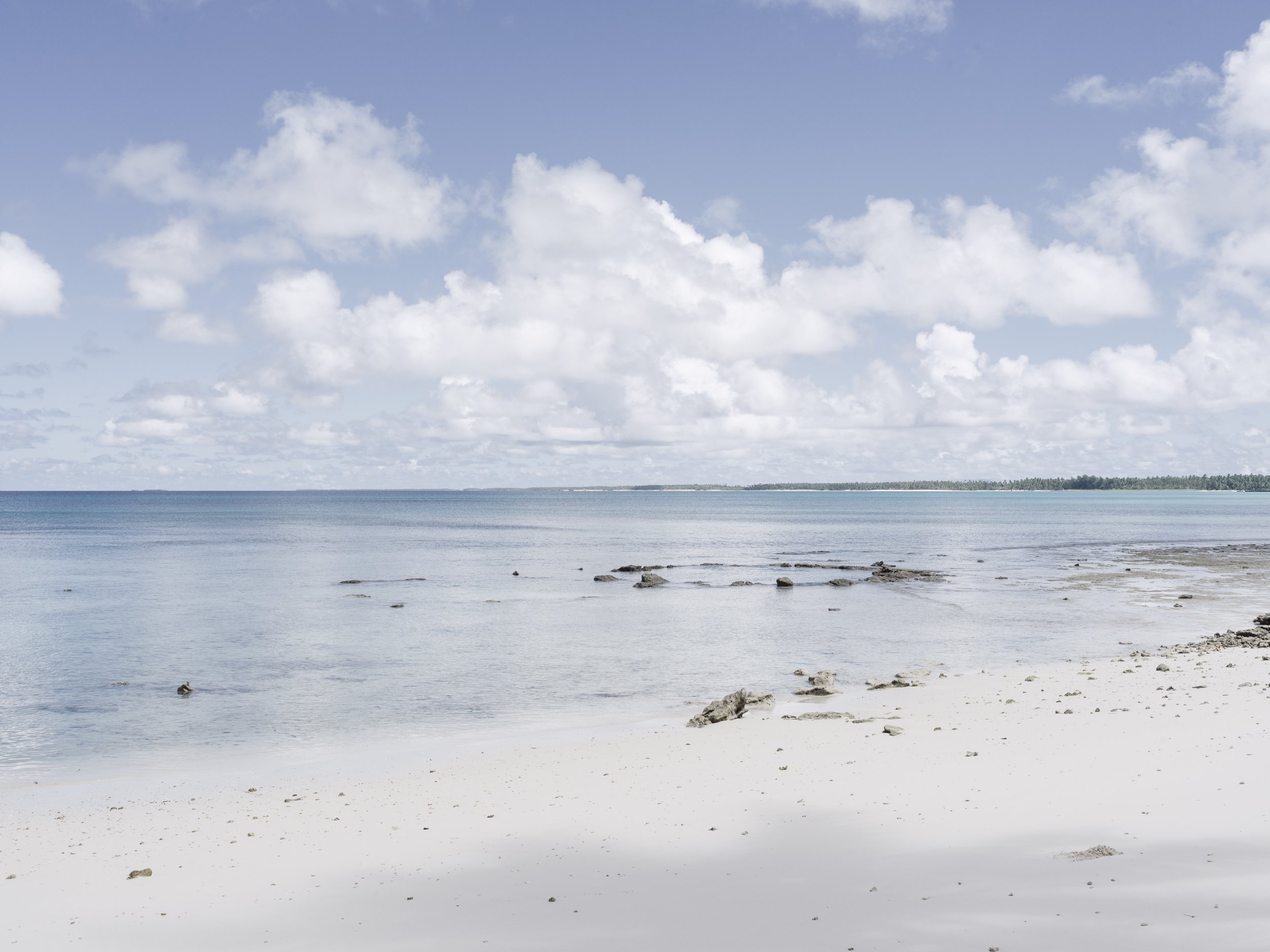
Reef, Taroa Island,
Maloelap Atoll,
Marshall Islands
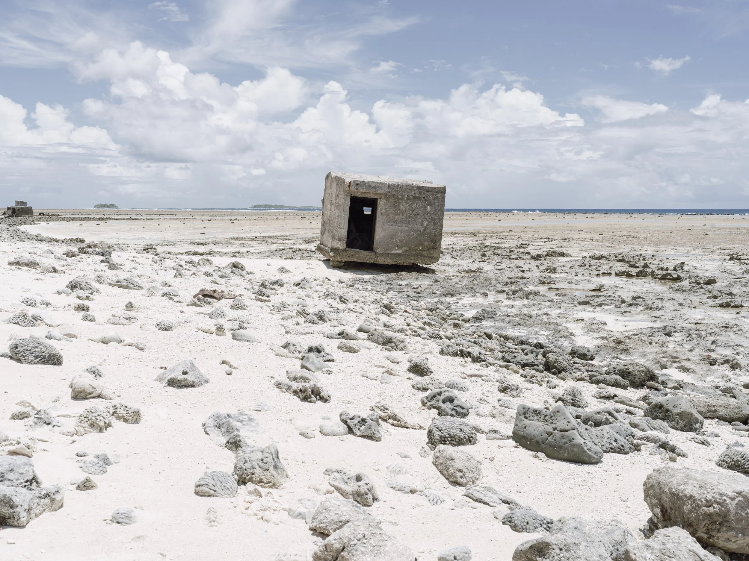
During the Second World War, many islands in the Central Pacific became targets of Allied attacks.
The U.S. Central Pacific Campaign began with
the Gilbert Islands, south
of the Mandated Islands—
U.S. forces conquered
the Gilberts in November 1943. Next was Operation Flintlock, a plan to capture the Marshall Islands.
IMAGE
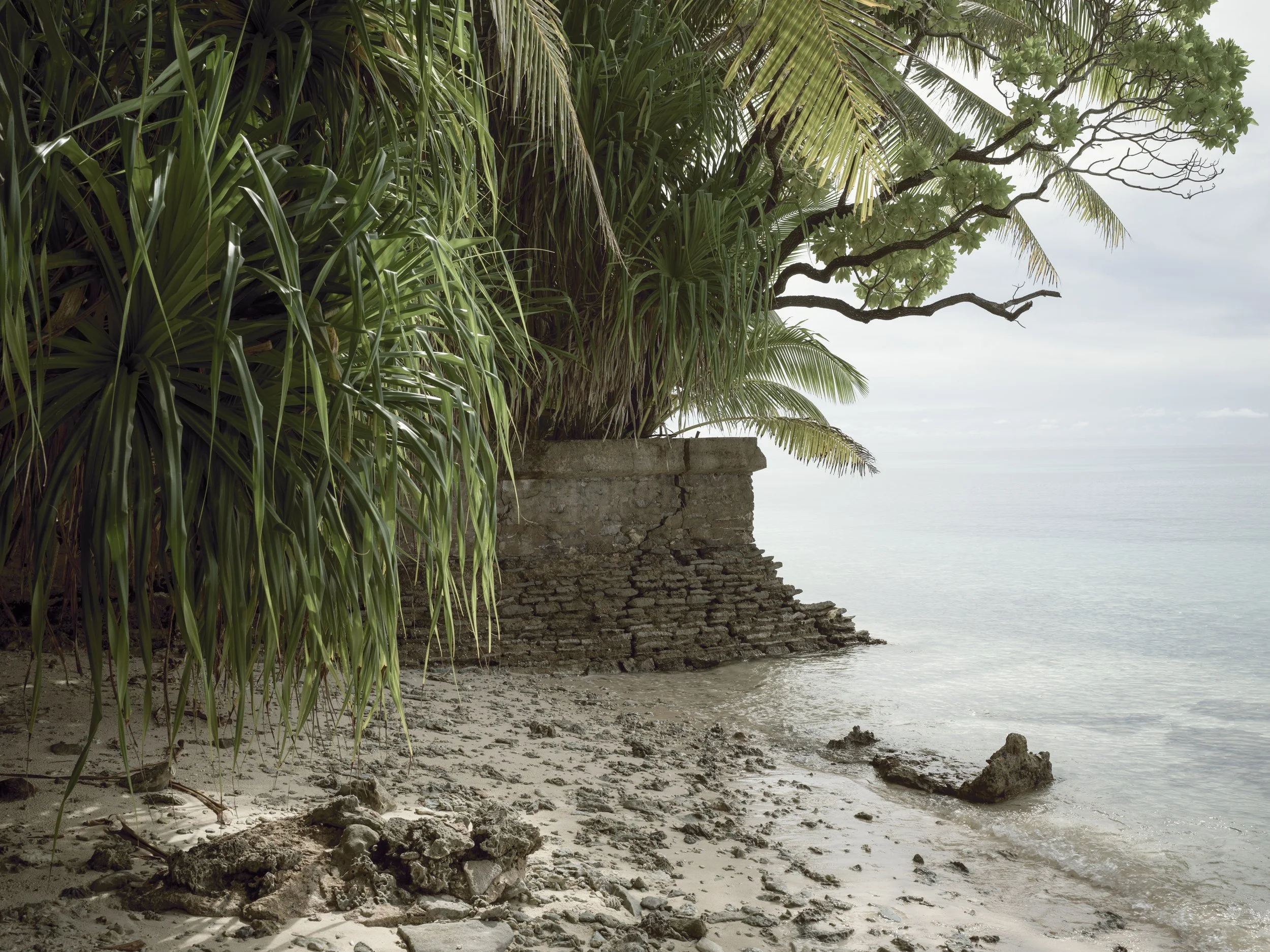
Japanese pillbox
dislodged by the sea,
Taroa Island, Maloelap
Atoll, Marshall Islands
Adm. Raymond Spruance led the 5th Fleet from Pearl Harbor on January 22, 1944, to the Marshalls. Using the Gilberts as an air base, American planes began bombing the Marshalls. By February 3, repeated carrier- and land-based air raids destroyed every Japanese airplane on the Marshalls. The Marshalls were then effectively in American hands—with the loss of only 400 American lives.
IMAGE
American bomb crater
on reef, Wotje Island, Wotje Atoll, Marshall Islands
The Japanese withdrew from the League of Nations in 1933 and began transforming the Mandated Islands into military bases.
Non-Japanese, including Christian missionaries, were kept from the islands as naval and air bases—meant to threaten shipping lanes between Australia and Hawaii—were constructed.
IMAGE
Japanese built seawall, Aineman Island, Jaluit Atoll, Marshall Islands
The Marshall Islands, east
of the Caroline Islands in
the western Pacific Ocean, had been in Japanese hands since World War I. Occupied by the Japanese
in 1914, they were made part of the “Japanese Mandated Islands”
as determined by the
League of Nations.
IMAGE
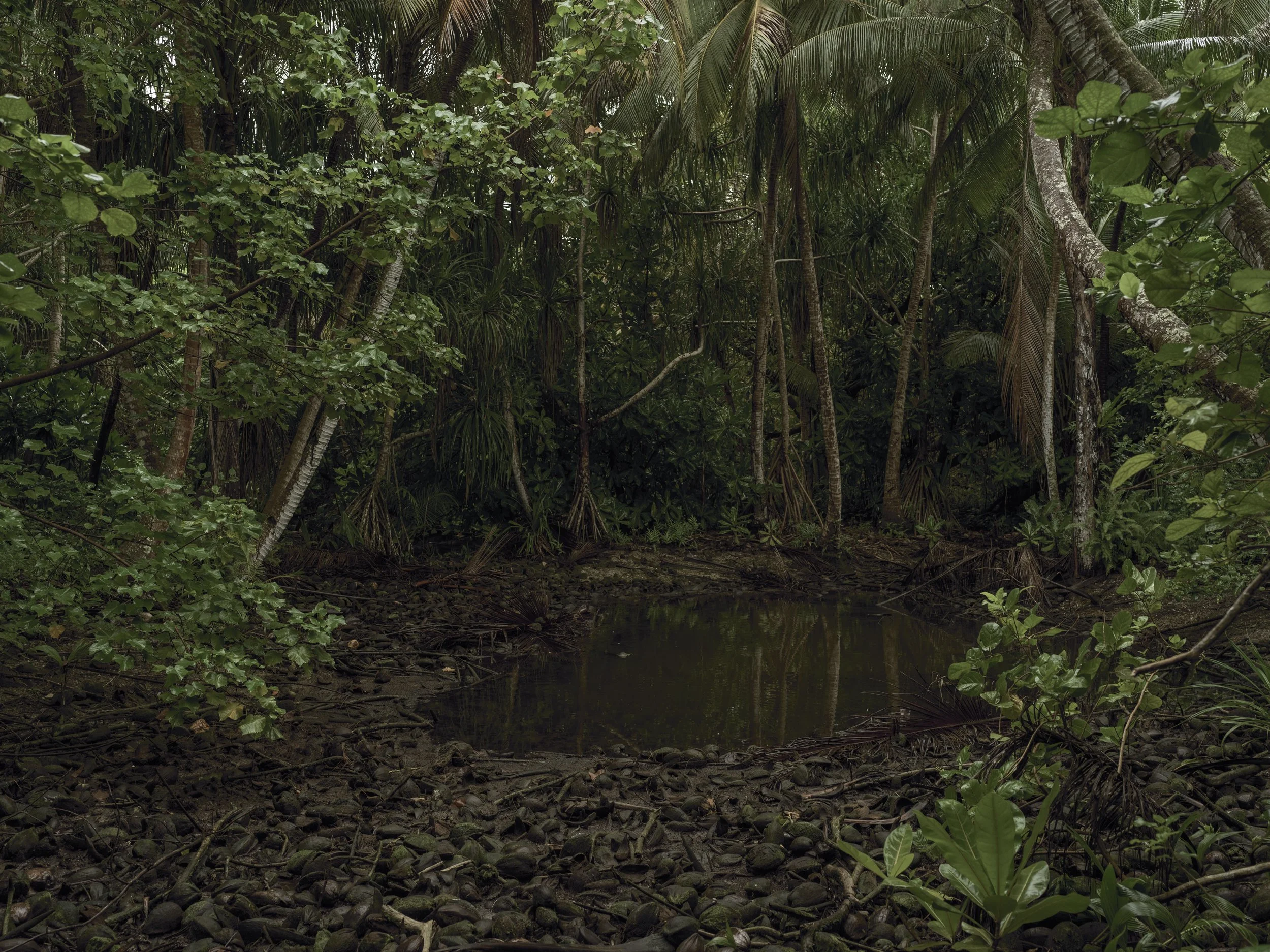
American bomb crater
in jungle, Wotje Island,
Wotje Atoll, Marshall Islands
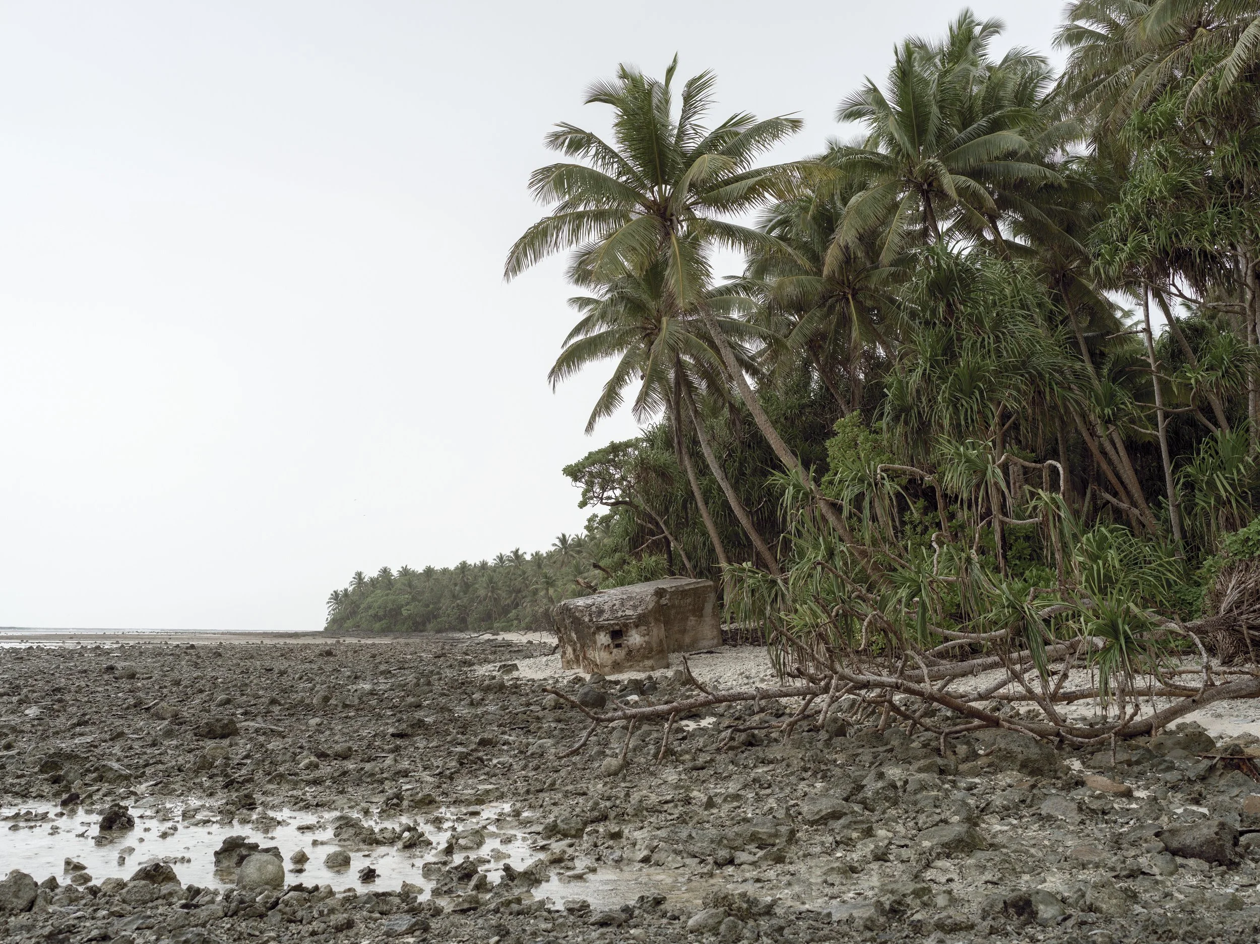
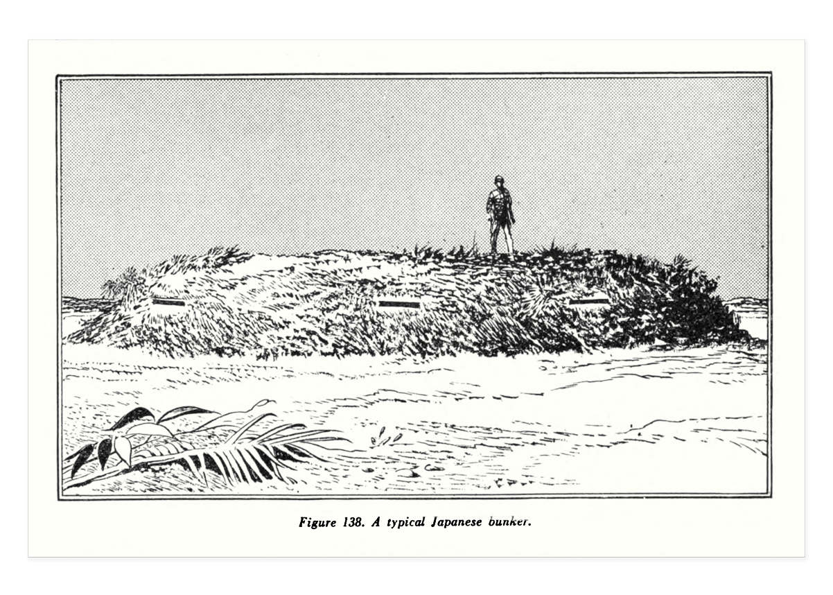
IMAGE
Japanese pillbox on reef, Imiej Island, Jaluit Atoll, Marshall Islands
ARCHIVAL DOCUMENT
US Military drawing
of Japanese bunker
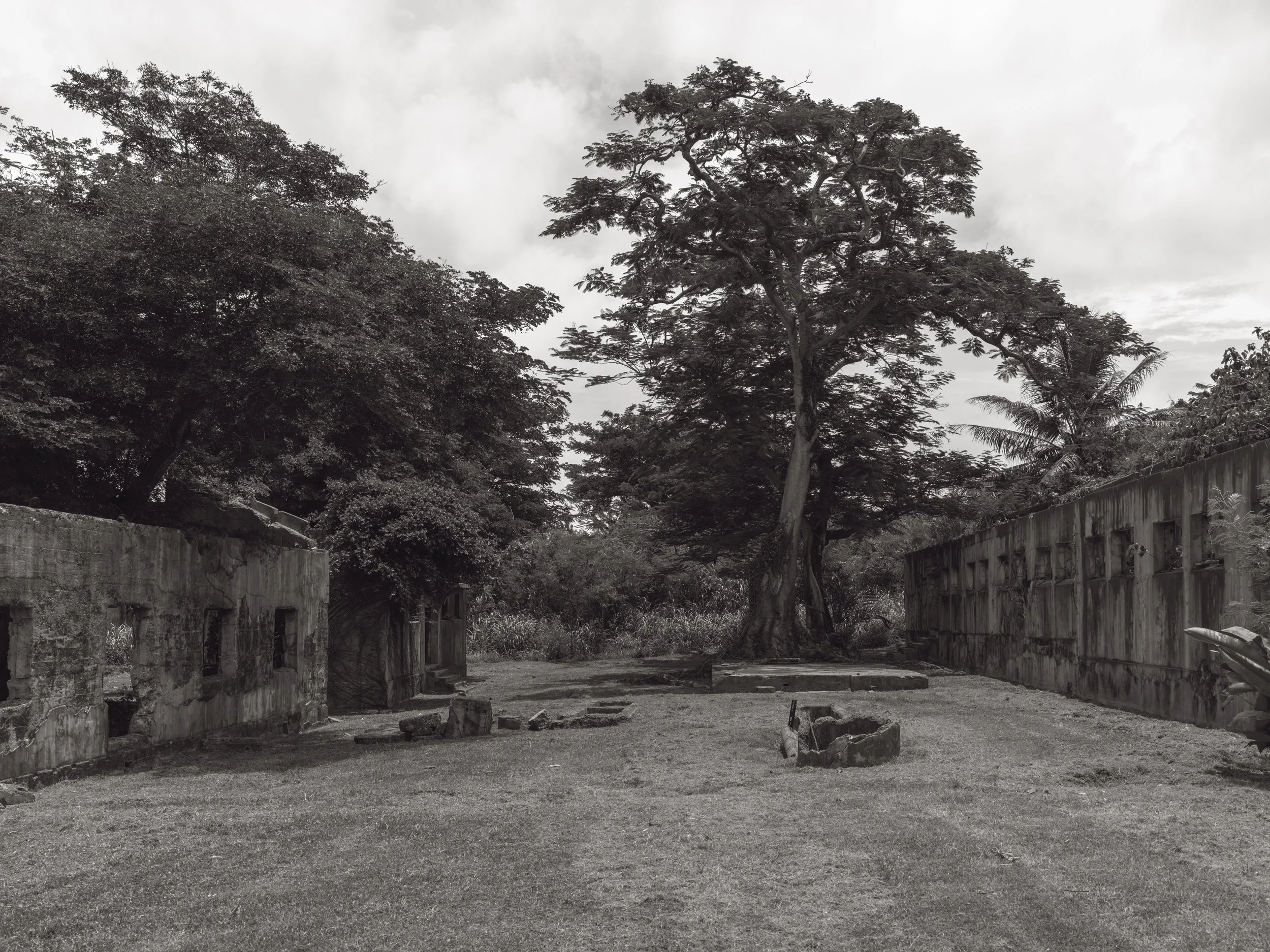
Amelia Earhart and Fred Noonan were believed to have been held by the Japanese in the Garapan Prison on Saipan after being captured on
Enedrik-Kan Island in
the Marshall Islands.
IMAGE
Garapan Prison,
Saipan Island, Northern Mariana Islands
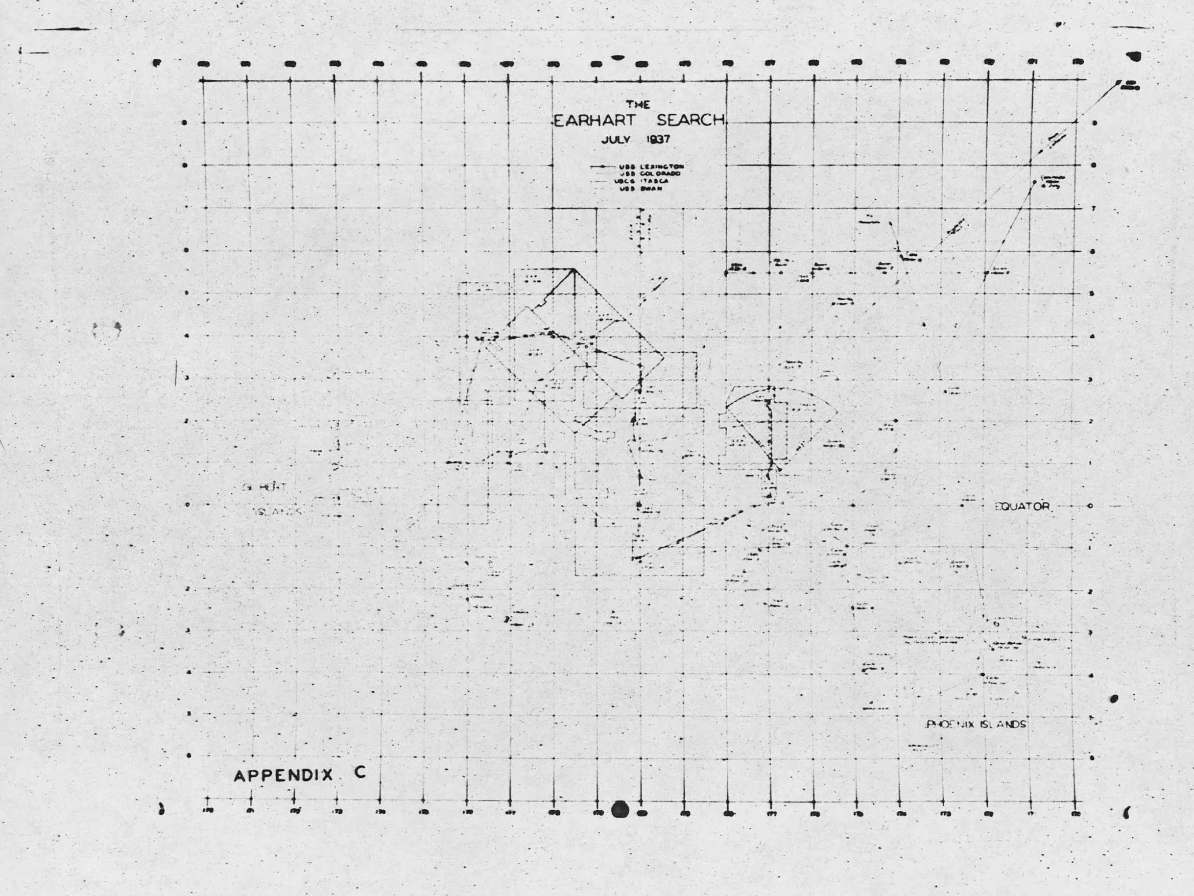
The United States Navy called off the search for Amelia Earhart on July 18, 1937—sixteen days after she disappeared in the Pacific on July 2, 1937.
IMAGE
Jungle, Aineman Island, Jaluit Atoll, Marshall Islands
Archival Document
Earhart search grid,
July, 1937
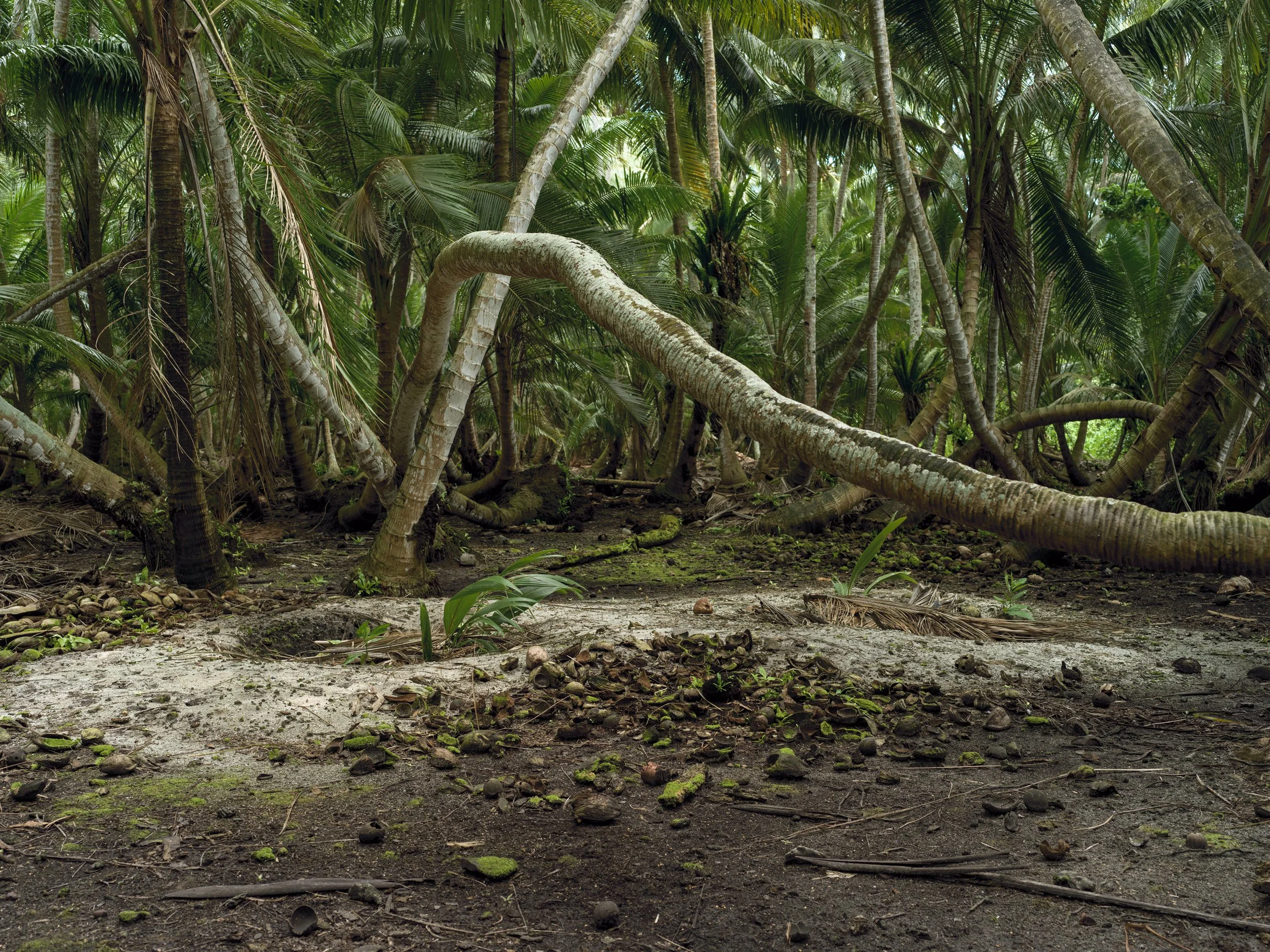
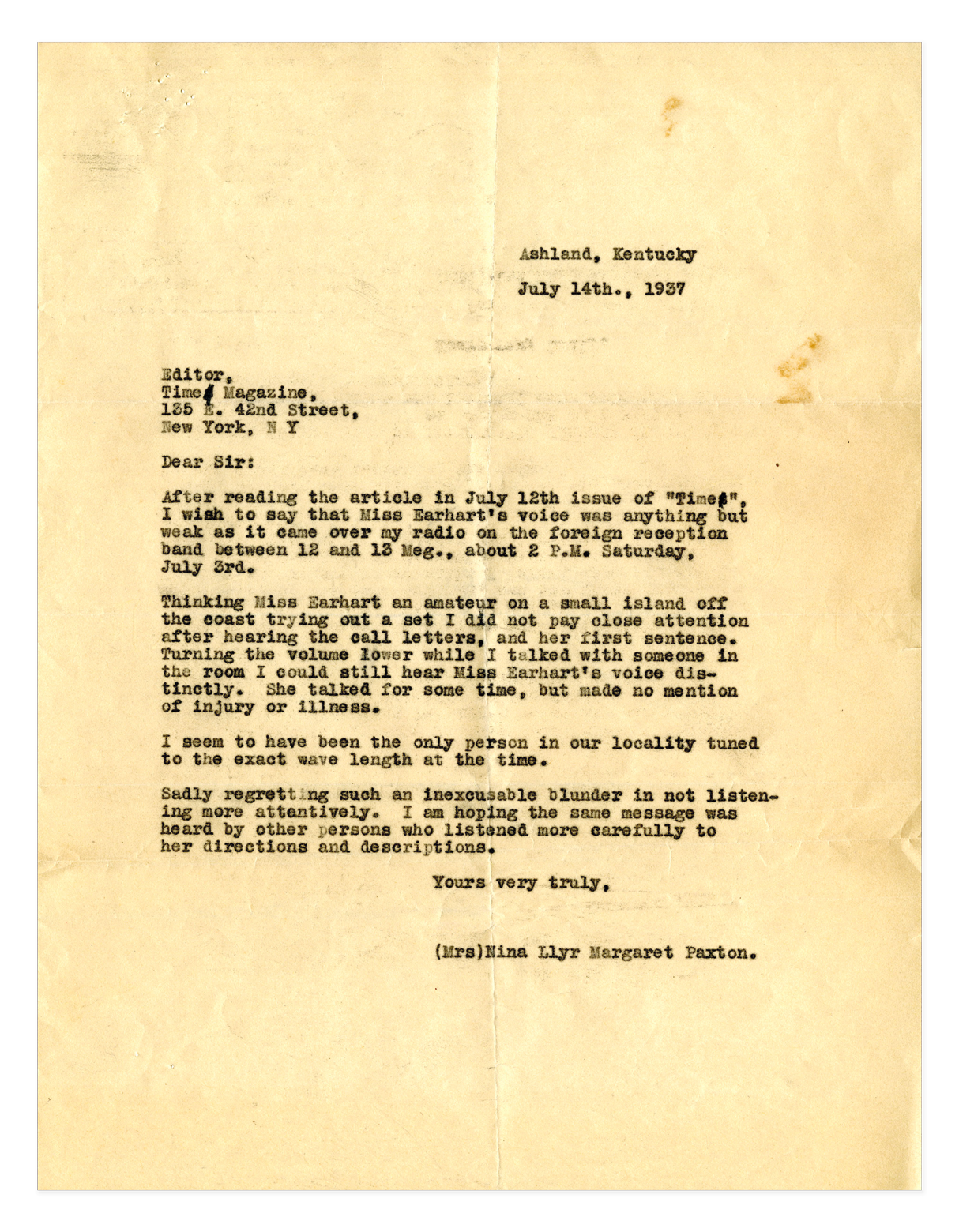
During the US Navy’s search for Earhart, a woman by the name of Nina Paxton claimed to have heard Amelia on the radio, “On
July 3rd, 1937 at 2:20 PM EST, I picked up Amelia Earhart’s distress signal by short wave”. She said that Earhart had said they were on a small island believed
to be part of Knox Atoll
in the Marshall Islands.
IMAGE
Coconut husks left behind
from the harvesting of copra, Knox Atoll, Marshall Islands
ARCHIVAL DOCUMENT
Letter from Nina Paxton
to Time Magazine
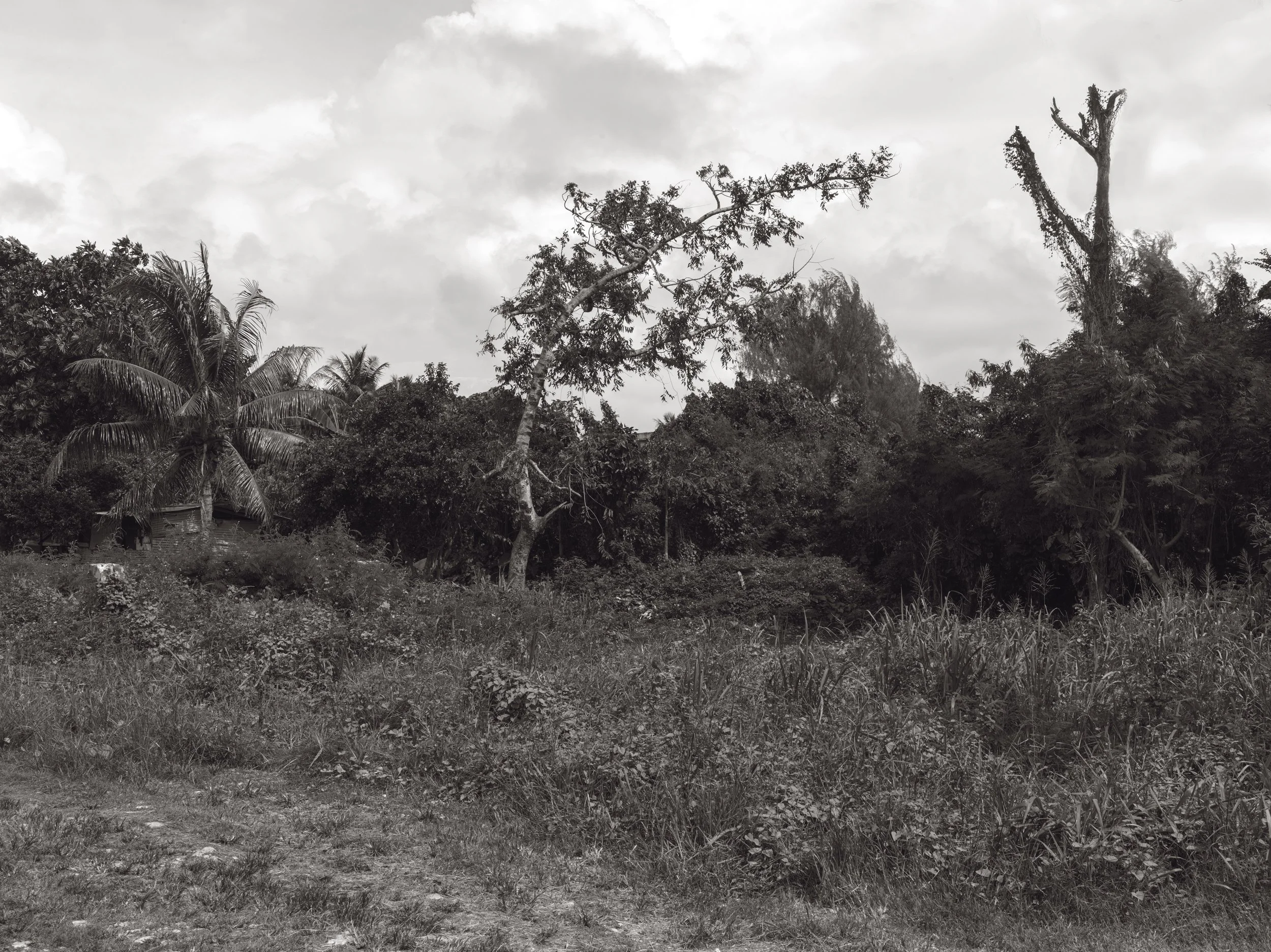
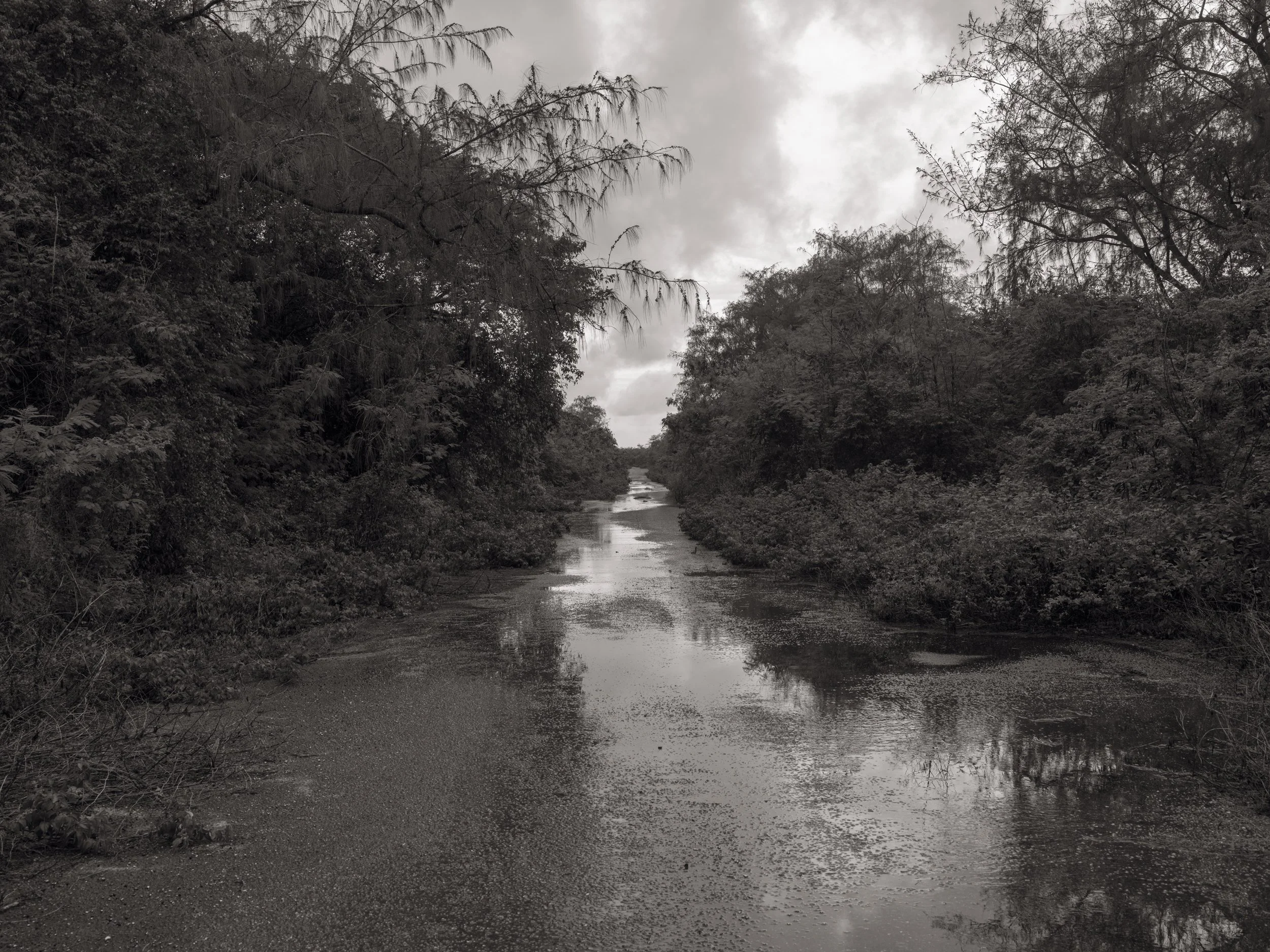
The most accepted theory
of Amelia Earhart’s death
in the “Japanese Capture”
theory surmises that she died of dysentery while being held in the prison on Saipan, and was subsequently buried
on this site by the Japanese
in an unmarked grave.
Another theory of Amelia Earhart’s demise is that
she and Fred Noonan were
taken to Tinian Island after having been convicted of being spies for the Allies and were summarily executed.
IMAGE
Amelia Earhart’s possible burial site, Saipan Island, Northern Mariana Islands
IMAGE
Tinian Island, Northern Mariana Islands
IMAGE
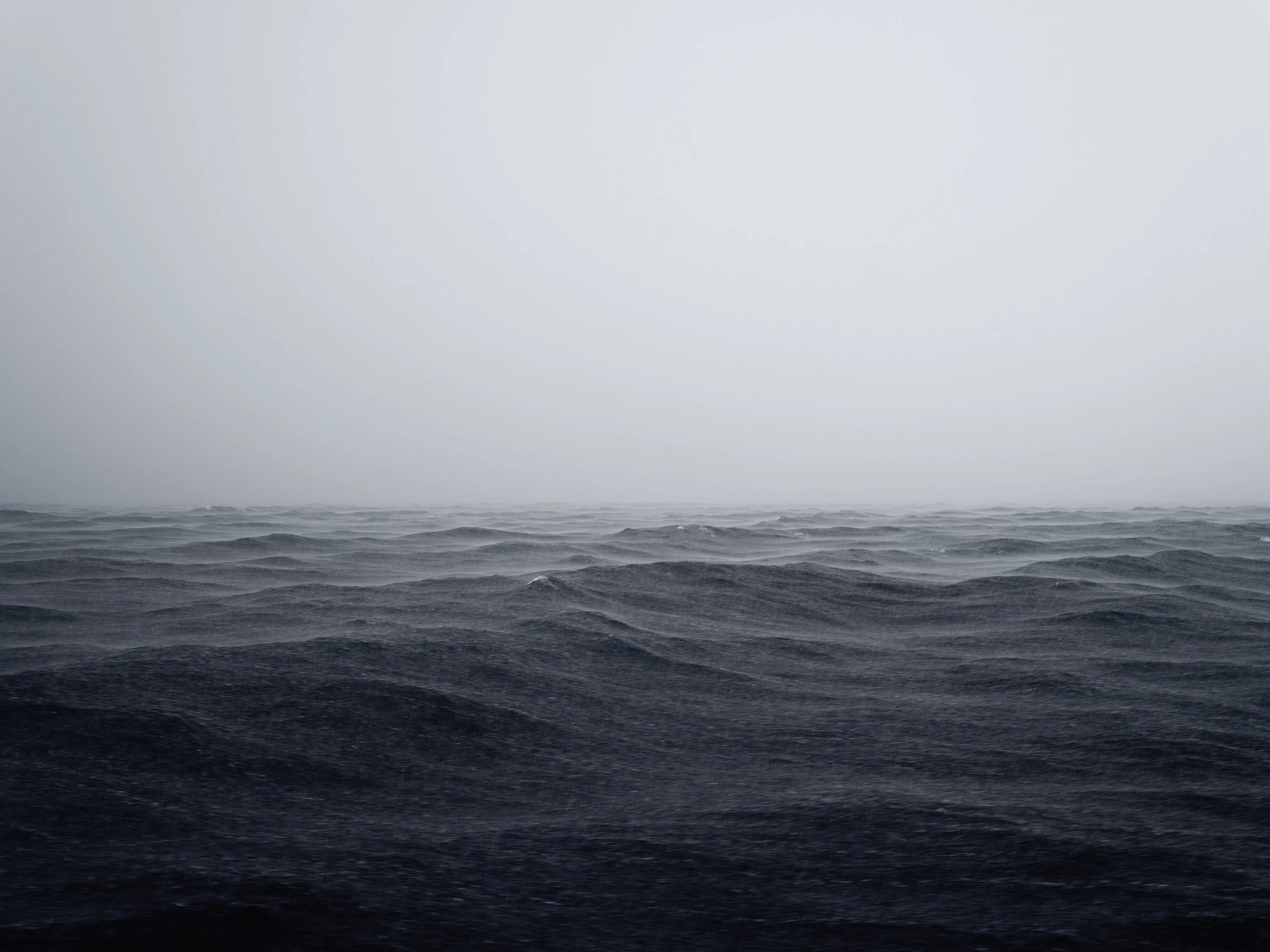
Storm, Marshall Islands
ARCHIVAL DOCUMENTS
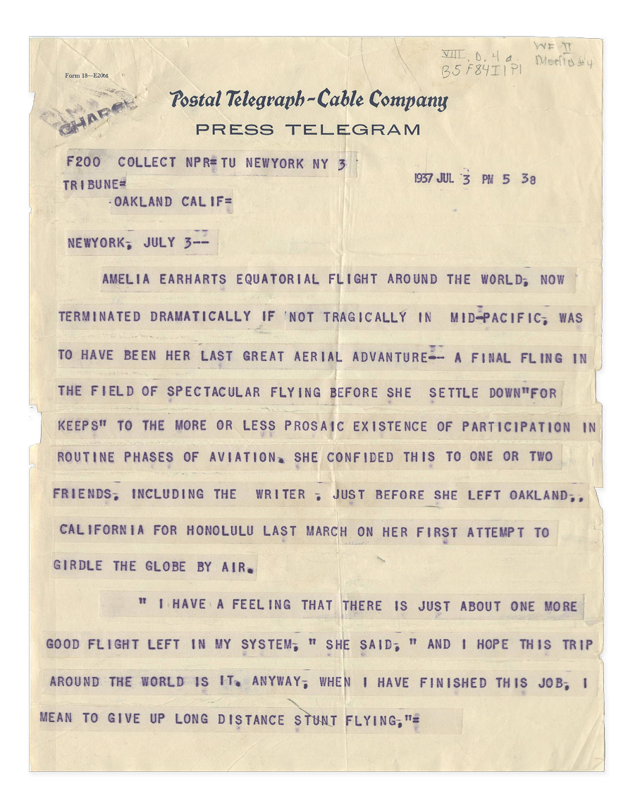
Press Telegram “Amelia Earhart’s equatorial flight around the world, now terminated dramatically if not tragically in mid-Pacific”
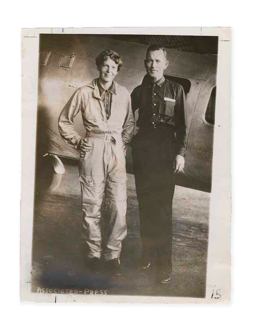
Photograph of Amelia Earhart and Fred Noonan